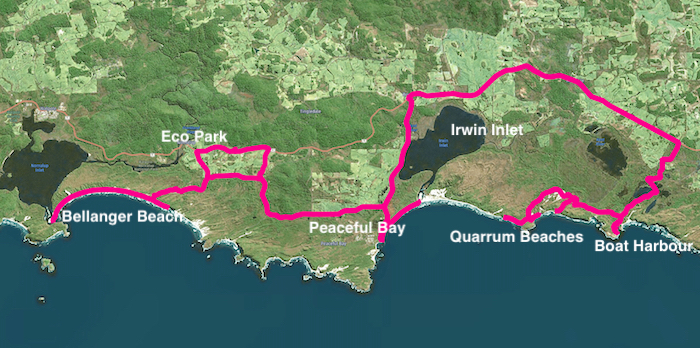
With Australia Day 2021 falling on a Tuesday we were presented with the opportunity to have a five day/four night Road Trip to Western Australia’s spectacular south coast.
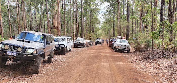
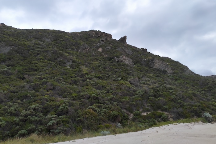
Ten vehicles left Harvey and headed to Brunswick Junction and the Brunswick Hills. We didn’t tackle any of the difficult/extreme tracks for which the area is renowned, choosing instead to head to Wellington Dam via Beela Road.
-
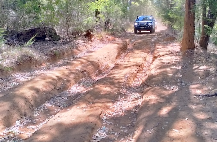
- One of a number of washaways on Beela Road.
-

- Tania through washaway.
-

- Kerry’s turn.
-

- Matt and Tania in Navara with camper trailer through washaway.
-
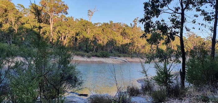
- Dillies Dam at Jarrahwood
Our campsite was at Dillies Dam, Jarrahwood.
-

- Dillies Dam camp.
-

- Tim preparing dinner.
-

- The upper end of Dillies Dam
-

- Our camp at Dillies Dam.
SATURDAY
On Saturday we left Jarrahwood, refuelled at Bridgetown and headed out on Seaton Ross Road that would take us south to Shannon. Track closures in Greater Kingston National Park stymied my plan to turn south on Edwards Road, then Whim Landing Road, then Warrup Road, and then Telephone Track. We arrived at Corbalup Road and finally were able to turn south. Thirteen kilometres further on and we were back on our planned route.
-
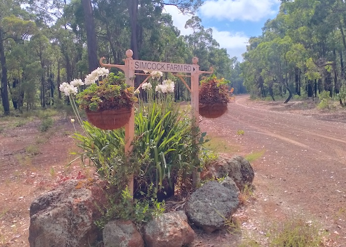
- Simcock Farm directional sign.
We turned on to Muir Highway for nine kilometres and then turned south again on Deeside Coast Road – another of the Great Drives of Western Australia!
-
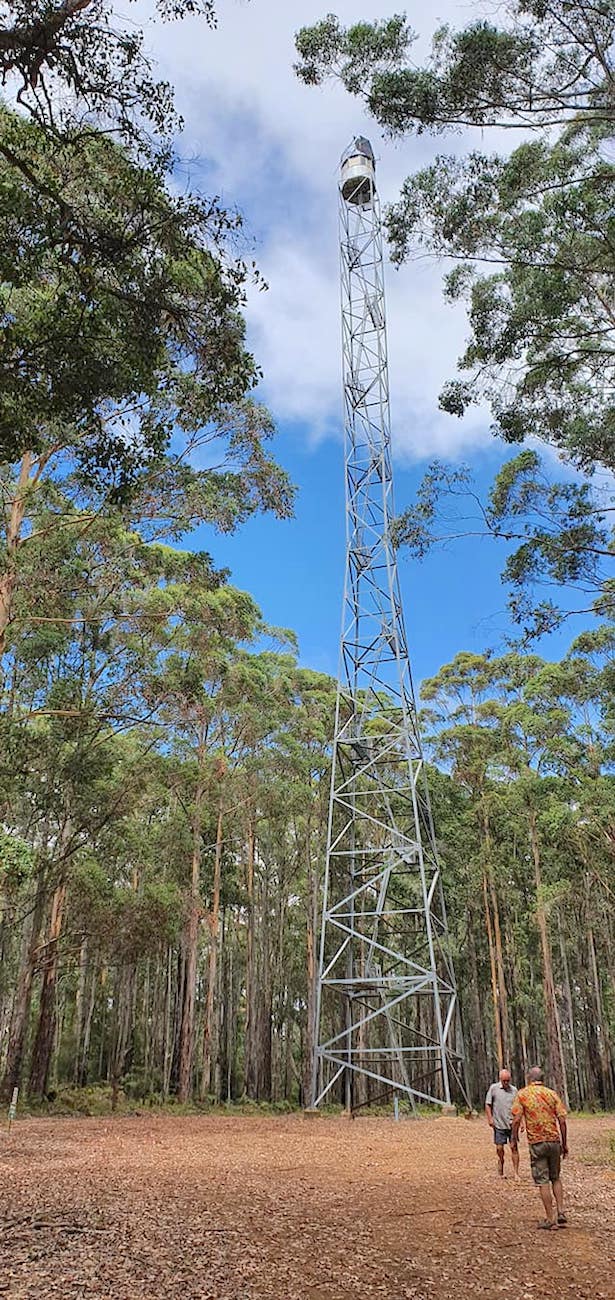
- The Beard Fire Lookout on Deeside Coast Road.
-
- Karri forest on the way to Shannon.
The planned trip along the Great Forest Trees Drive was ‘off’ because recent bushfires had left parts of the Drive potentially unsafe due to still burning trees and logs.
We headed to Fernhook Falls.
-

- Fernhook Falls – less spectacular when dry.
-

- Large drop at Fernhook Falls
The Walpole Wilderness Area is one of the great treasures of Western Australia and the Mt Frankland Lookout is one of the best places to see a good portion of it.
-
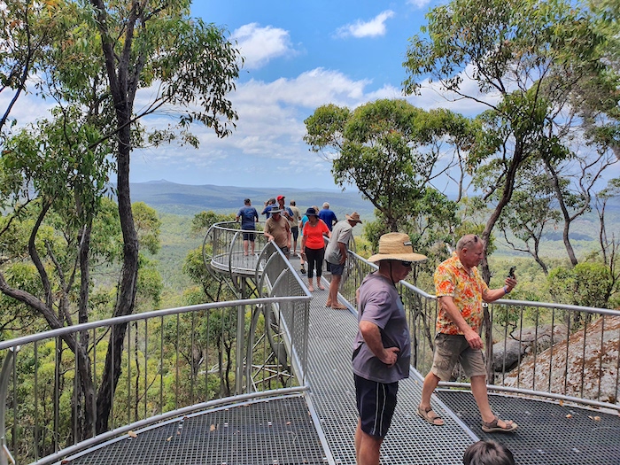
- Jeff, Kim and others at the Mt Frankland Lookout.
-

- This fire was being actively fought with water bombers and (presumably) ground assets as we watched.
-

- At the side of Little Mount Frankland.
-
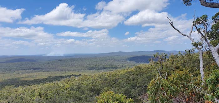
- Walpole Wilderness from the Mt Frankland Lookout.
-

- Cliff, Gilbert, Bram and Tania at the Mt Frankland Lookout.
From Mt Frankland it is only 26 kilometres to Walpole where the group refuelled and bought stuff that should have been packed before leaving home.. There was plenty of daylight left to do the Frankland River Circuit – a beautiful drive that highlights numerous features along the Frankland River north of Walpole and one of the Great Drives of Western Australia. The Circuit has been developed since 2018 and it is now 100 kilometres in length with many more highlights. We decided to leave the Conspicuous Cliffs, one of the most spectacular views of the Circuit, until tomorrow.
-
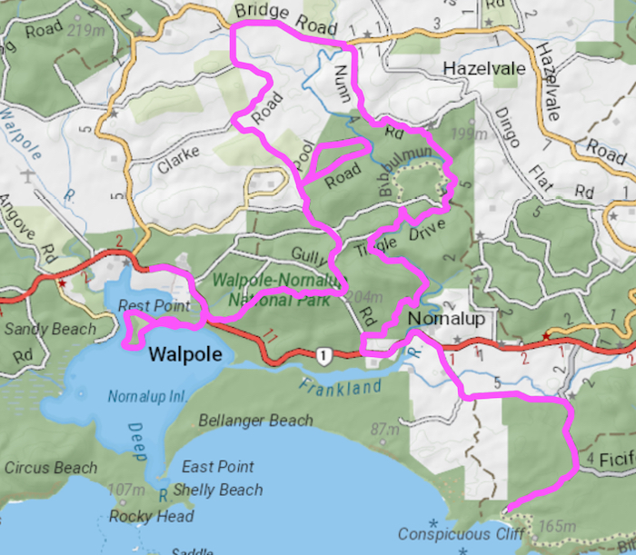
- FRANKLAND RIVER CIRCUIT
-

- At Hilltop Lookout.
-
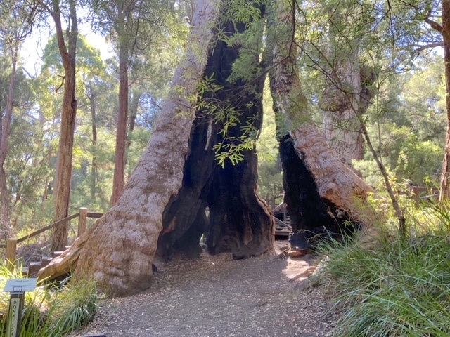
- Giant Tingle Tree.
-
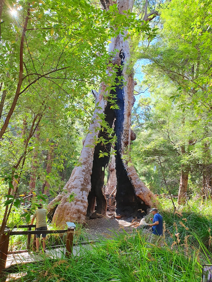
- Giant Tingle Tree.
We crossed Sappers Bridge, did a U turn and re-crossed it.
-
- Upriver from Sappers Bridge.
-

- At Sappers Bridge.
-

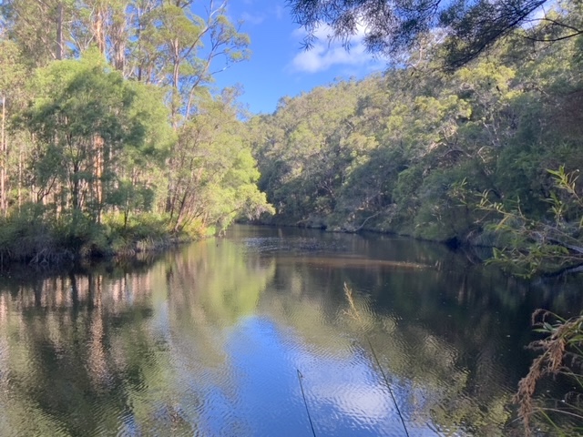
- Frankland River looking downriver from Sappers Bridge. This is the upriver extent of the water during summer.
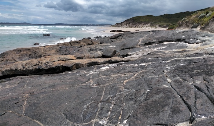
The drive from from Sappers Bridge alongside the Frankland River is one of the most beautiful in Western Australia.
-
- Frankland River near Monastery Landing.
-
- At Monastery Landing.
We arrived at Eco Park with plenty of daylight remaining to set up a comfortable camp.
-
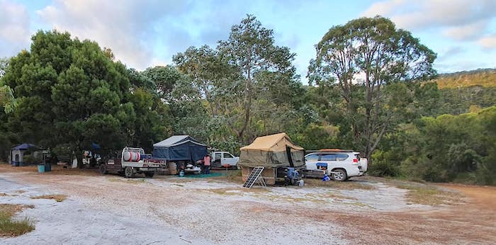
- At Eco Park
SUNDAY
-

- ECO PARK TO BROKE INLET
-
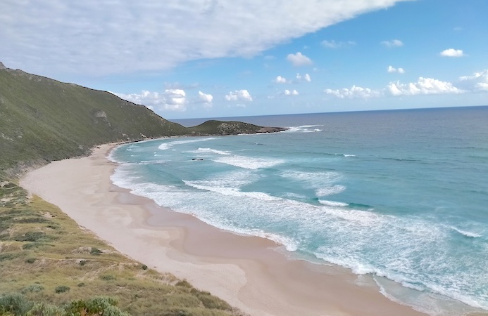
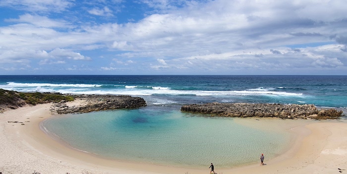
- Beach in front of Conspicuous Cliffs.
-

- Conspicuous Cliffs
Then on to Mandalay Beach. None of the beaches in this area are accessible by vehicle.
-
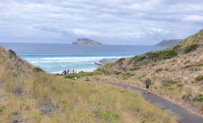
- To Mandalay Beach Lookout. Chatham Island in background.
-

- Red Rock and Chatham Island, Mandalay Beach.
-

- Chatham Island from Mandalay Beach.
-

- Walkway at Mandalay Beach.
We regrouped at Banksia Camp and then headed to Broke Inlet.
-
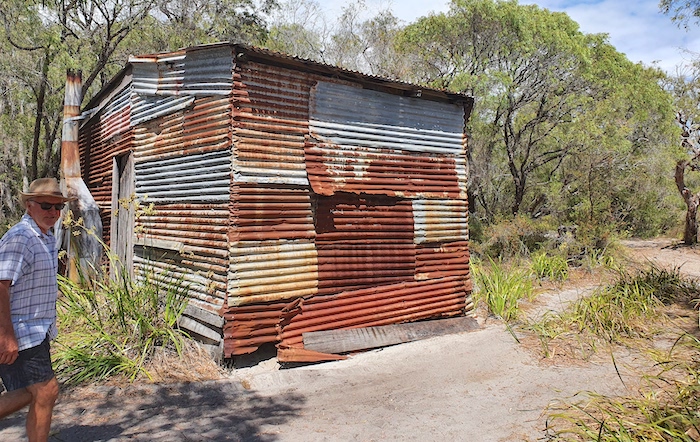
- Scott at shack on the shore of Broke Inlet. Stopped here for lunch.
Lunch was at a clearing complete with a squatters’ shack on the shore of the inlet.
-

- At the lunch spot.
The occasional soft stretch of track meant that it was a good idea to keep the vehicle in 4WD. Although oncoming traffic was light, the number of blind bends was the major concern for the lead vehicle.
-
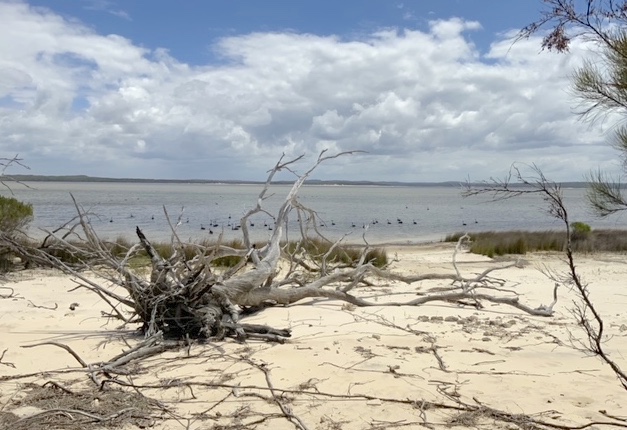
- One of the many flocks of swans on Broke Inlet.
The lead group of vehicles got to a point where the track opened out to the shore of the inlet. Here the group waited for the rear echelon to catch up. We then all headed to the mouth of the inlet.
-
- Wide open shore leading to the mouth of the inlet.
-
- A.beautiful beach neat the mouth of Broke Inlet.
There being no other way out, we returned the way we had come. At a four way intersection we took the track north and drove to the eastern end on the Inlet. We couldn’t find a track through to Chesapeake Road so we followed our inward track out.
The return to Eco Park was punctuated by a need to refuel and get coffee at Walpole.
MONDAY
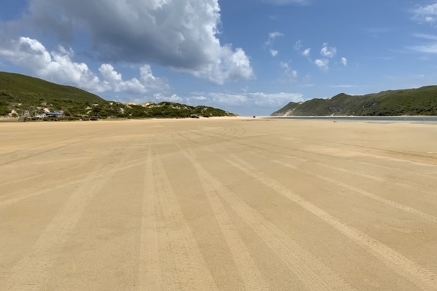
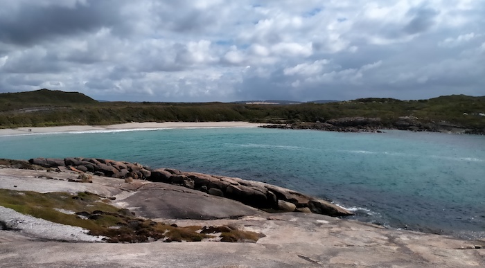
Time to see some of the Spectacular South Coast. We drove to Peaceful Bay, aired down and hit the beach. The waters of the Irwin Inlet had broken through the bar. There was no way across. The water was too deep and the bottom too soft. No further eastward travel.
We returned along the beach to Peaceful Bay, drove along the edge of Irwin Inlet and out to the highway. The turnoff to Boat Harbour is seventeen kilometres to the east.
-
- TO BOAT HARBOUR, QUARRUM BEACHES AND BELLANGER BEACH
Having already aired down we were able to drive directly to Boat Harbour. In 1849 Surveyor General John Septimus Roe recorded during his Russell Range Expedition, “A mile beyond this, brought us out upon scrubby coast hills overlooking a snug boat harbour.” And it’s been known as such ever since.
-
- Boat Harbour.
-

- On the beach at Boat Harbour.
-

- Boat Harbour Beach
-

- Beautiful small bay to the west of Boat Harbour.
-
- On the beach at Boat Harbour.
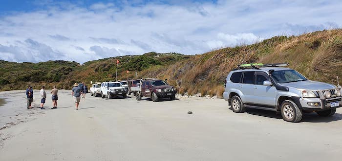
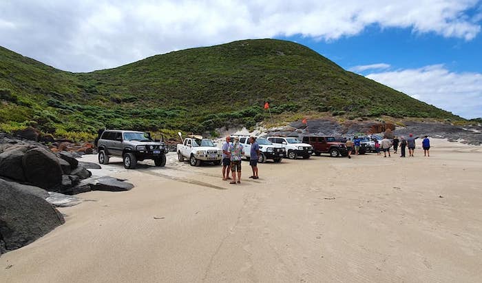
The group gave Boat Harbour and surrounds a thorough checking out and we then headed into the Quarrum Nature Reserve.
-
- Good to see DPaW recycling assets. The other side of the sign is Quarrum Nature Reserve.
We found our way to Little Quarrum Beach.
-
- Beautiful Little Quarrum Beach.
-

- Little Quarrum Beach.
-

- It was a steep dune.
-

- Little Quarrum Beach.
-

- Little Quarrum Beach.
-

- The wind has created an interesting shelter at the top of the hill above Little Quarrum Beach.
We pushed on to Big Quarrum, fully expecting it to be impassable as a result of the sand being washed away in a storm a couple of years ago. While a high clearance vehicle could be driven over the rocks from one beach to the next there was no imperative to do that so we took photos and turned around.
-
- The beach was washed away in a big storm a couple years previously.
-

- Micaela at Big Quarrum.
-
- End of the driveable beach.
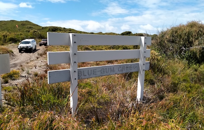
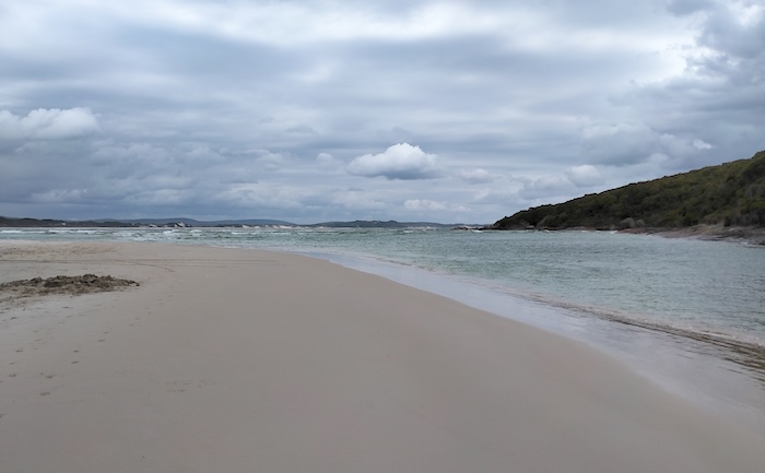
We couldn’t drive to Peaceful Bay (Irwin Inlet outlet notwithstanding) but the day was not yet over. Like so many beaches on the south coast there is only one way in and out. And so it is with the Quarrum beaches. We drove out to the highway and, as soon as we were able, got onto to dirt roads that would take us to into Bellanger Beach.
Once on the beach we drove to the mouth of Nornalup Inlet. Here the water is constricted to less than 100 metres and we spotted dolphins and rays hunting for their daily feed.
-

- Lineup near the inlet mouth.
-
- Mouth of the Nornalup Inlet.
-

- Nornalup Inlet, near the mouth.
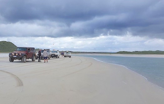
We then drove to the eastern end of Bellanger Beach. John got bogged and Graham went to retrieve him which ended up with both of them being bogged. Scott retrieved both together. 300 h.p. at the wheels helps.
-

- Graham on Bellanger Beach.
-
- Fringing hills at Bellanger Beach.
-

- Scott prepares to tow out Graham and John at the top end of Bellanger Beach.
The day’s fun was at an end so it was time to air up and return to our temporary summer residence at Eco Park.
TUESDAY
Departing from Eco Park we tried a new track along the Frankland River that became an interesting addition to the Frankland River Circuit.
-

- Leaving Nornalup/Eco Park on North Road.
North to Mt Frankland and then on to Lake Muir Bird Observatory.
-

- Lake Muir Bird Observatory
The Observatory looks out over Cowerup Swamp (part of Lake Muir). It occasionally has water in in it.
Lake Unicup is only a few kilometres to the north.
-

- Lake Unicup Ski Club. Persistent low water levels caused the location to be abandoned.
-

- After lots of discussion and inspection of this implement its use is still unknown.
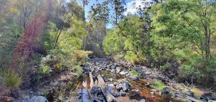
We stopped for a break at Tonebridge.
-
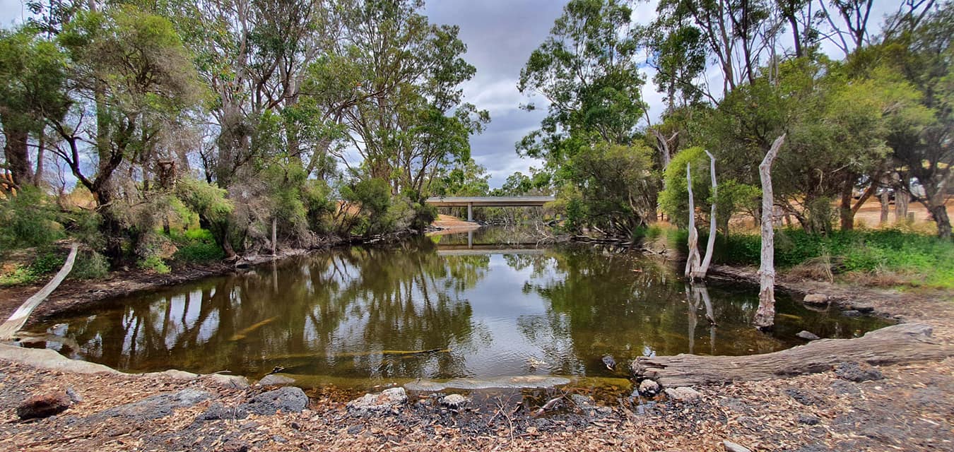
- The Tone River at Tonebridge.
The Road Trip finished at Donnybrook.
© Kim Epton 2021-2024
1501 words, 66 photographs, three images.
Feel free to use any part of this document but please do the right thing and give attribution to adventures.net.au. It will enhance the SEO of your website/blog and Adventures.
See Terms of Use.
