
The Plan
The plan for this Road Trip (November 2018) was to meet at Nanga Campsite, and the next day drive the Murray River Fireline, cross the river at Driver Road, go to Hoffmans Mill, continue to Wellington Dam and Honeymoon Pool, and then make our way to Boyup Brook via Trigwell Bridge, Eulin Crossing and Condinup Crossing.
If we got that far we were going to head further south to Jayes, Mayanup, Tonebridge, Lake Muir and maybe overnight at Fernhook Falls. It was an ambitious plan and previous experience/common sense indicated that I should plan some alternative campsites short of the hoped-for destination. There were five of these, each an hour shorter than the previous. Hopefully we didn’t need six – although our previous experience in the area over many years meant we knew of a few more alternatives, if required.
So, how did actuality compare with planning?
Mushy tested the range of his vehicle by doing about half of the next day’s course on Friday night before heading to camp. Apparently it was not so scary in the dark.
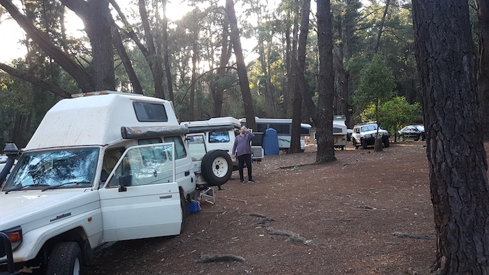
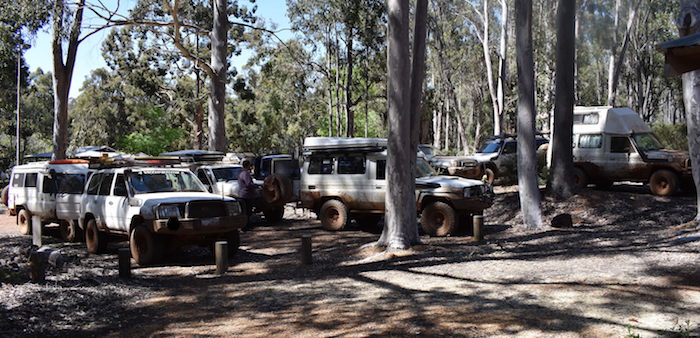
The DPaWs Nanga Campsite was full and we were in the ‘overflow’.
-
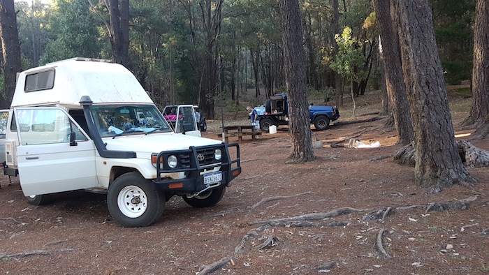
- Steve’s campervan at Nanga Campground with Joe’s GQ and Eugene’s Surf in the background.
-
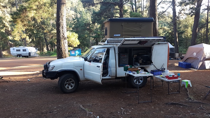
- Kim’s setup at the Nanga Campsite.
-
- Mushy had a healthy, liquid breakfast.
-
- Graham, Craig, Brad, Scott and Matt having breakfast at Nanga.
Into it
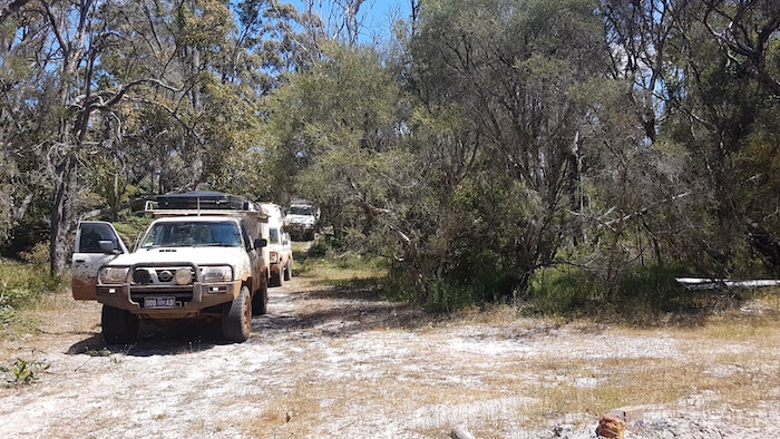
Within a few kilometres along River Road we encountered our first ‘wake up and take notice’ section of track. After that it was simply an interesting drive through the bush.
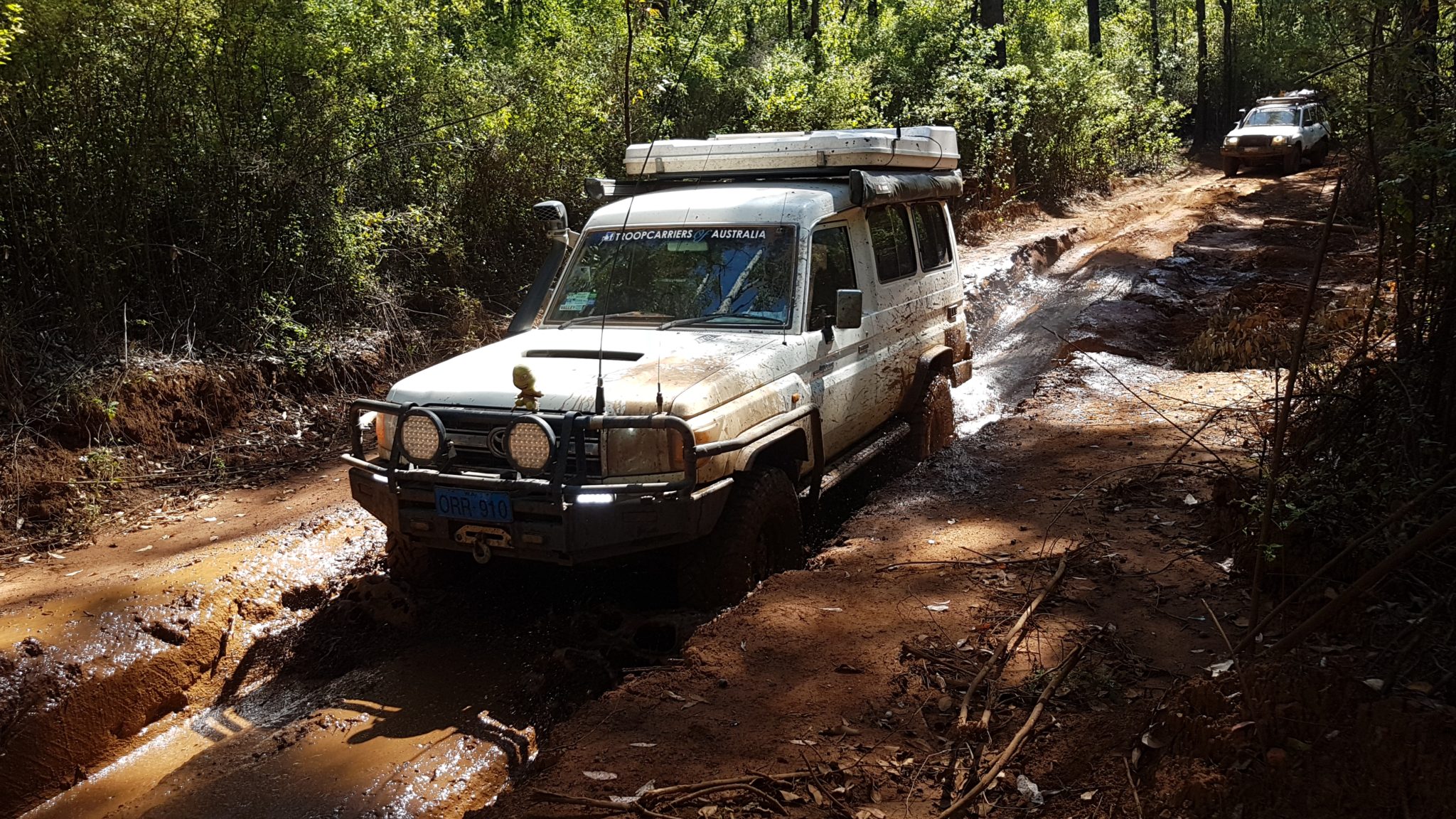
There is an ugly mudhole 100 metres before Driver Road.
-
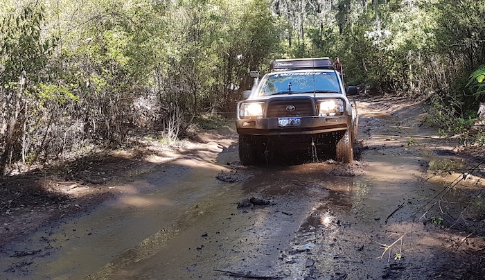
- Craig takes his Cruiser through the Murray River Fireline mudhole 100 metres before Driver Road.
-

- Eugene in his surf at the same mudhole.
-

- Steve takes his camper through the mudhole.
-
- Joe in his Chev V8 powered GQ.
We turned west off the Fireline onto Driver Road.
-
- The Murray River at Driver Road crossing.
-

- At Driver Road crossing.
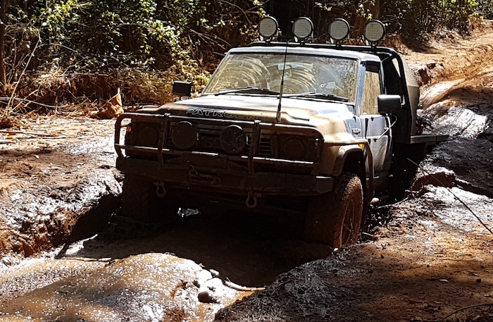
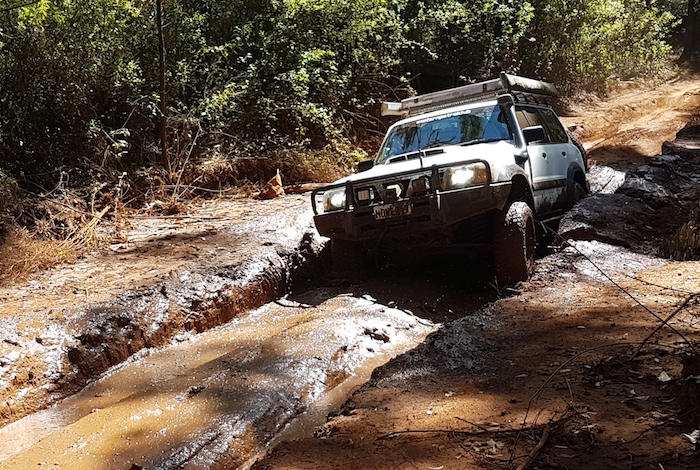
More Mud
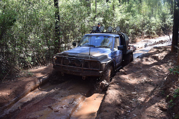
Leaving Driver Road we turned into Muddy Landing Road and encountered a interesting mudhole 2.3 kilometres up the track.
-
- Scott drives the Patrol through the Muddy Landing Road mudhole.
-
- Mushy in the Muddy Landing Road mudhole.
-
- Joe at Muddy Landing.
-

- Graham through the mudhole.
-

- Eugene on Muddy Landing Road.
-

- Steve on Muddy Landing Road.
-
- Craig through mudhole.
-

- Brad and his Troopy at the same mudhole.
We later stopped at Hoffmans Mill for a coffee break. This is a beautiful DPaWS campground in the heart of the jarrah forest.
-
- At Hoffmans Mill.
Through the Jarrah Forest
Our Road Trip took us further south through the jarrah forest to the Harris River Dam Lookout.
-

- Harris River Dam Lookout
-

- At Harris River Dam.
Leaving the Dam we bypassed Collie and headed to Wellington Dam, a convenient location for lunch.
-

- Scouring the weir keeps water in the Collie River.
-

- Lunch stop at Wellington Dam. This park was the quarry for the rock used to build the dam.
We detoured into Honeymoon Pool Campground after leaving the Dam and then took River Road south. Our Road Trip took us past the 170 metre tall GWN TV Mast.
-

- GWN TV Mast.
Onto Pile Road to the King Jarrah Tree.
-
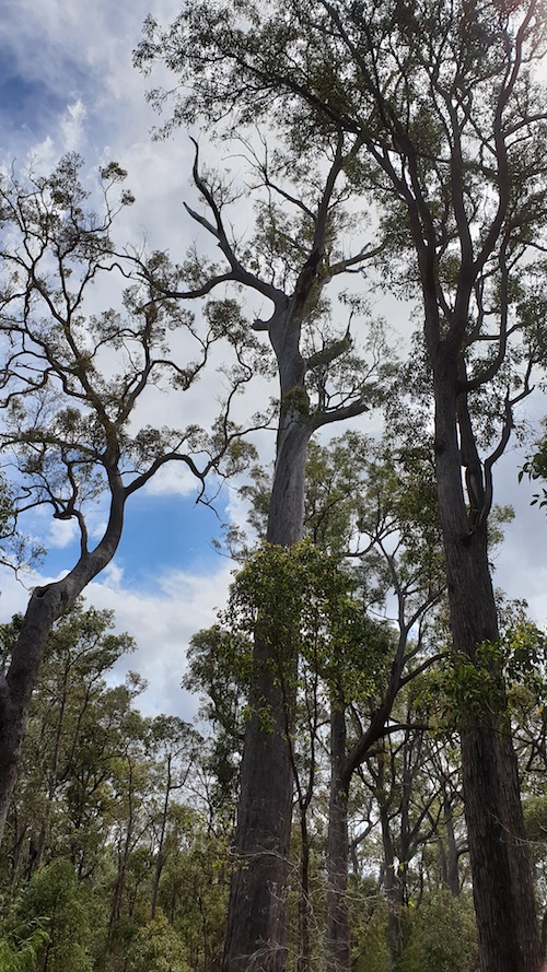
- King Jarrah Tree
Gnomesville is just down the road from the King Jarrah Tree.
-

- The true beginnings of Gnomesville.
-

- She’s right, mate.
-

- Gnome stack
-

- Gnome village
-

- Gnome alley
The countryside was still very green.
-
- On the northern side of the Donnybrook-Boyup Brook Road just east of Mumballup.
Blackwood River Country
After a bit of a bash along the bitumen we stopped at Trigwell Bridge.
-

- Trigwell Bridge carries the Boyup Brook-Arthur River Road across the Blackwood River.
A Mr W.J.R. Trigwell built the now derelict bridge in 1921 with the help of his father. The new bridge retained the name of the original builder. It crosses the Blackwood at a majestic, 1200 metre long pool.
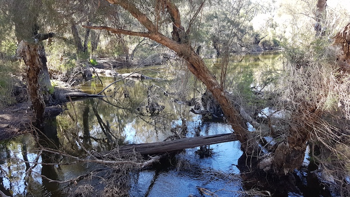
Looking for a crossing with water over it, we headed to Eulin Crossing.
-

- Eulin Crossing
-

- A tortoise at Eulin Crossing.
It seemed that despite the better than average rainfall in the Blackwood Catchment we were a few weeks too late to find water at the four non-bridge crossings of the river (Eulin, Condinup, Wilyungulup, Jayes). Not so in 1994 on the way to start of our Blackwood Source Expedition.
-
- Eulin Crossing in 1994.
We crossed the Blackwood River again at Condinup.
-

- Condinup Crossing
The Gregory Survey Tree, an important historical marker, is three kilometres further on.
-

- At the Gregory survey tree on Gibbs Road, Condinup.
-
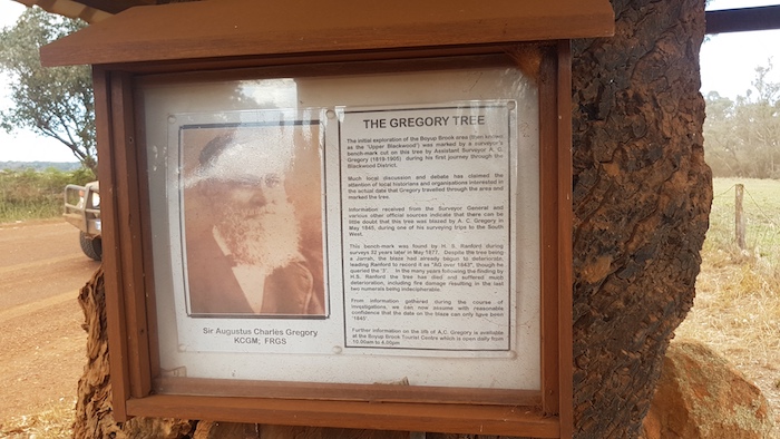
- The Gregory Tree.
After refuelling in Boyup Brook we headed out of town to Wilyungulup Crossing. It, too, was dry and one had to look carefully to even realise that it was a river crossing. South on Terry Road.
-

- Survey tree on Terry Road, Boyup Brook.
An early stop (compared to most of our Road Trips) allowed us to enjoy a swim in the Blackwood River.
-

- Arrival at Jayes Campground.
-
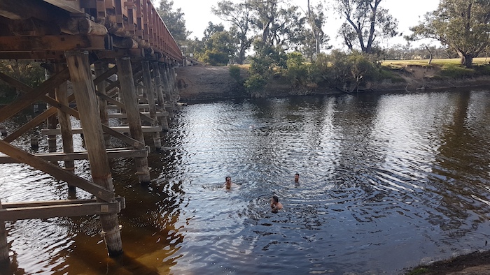
- Swimming at Jayes Bridge.
-

- Our camp at Jayes Bridge.
Heading Further South
Next morning we left Jayes on Winnejup Road and headed along Boyup Brook Kojonup Road through Mayanup to Chowerup.
-

- Chowerup Hall
-
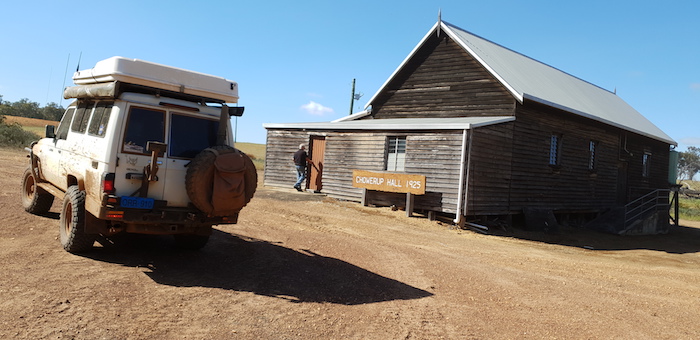
- Mushy’s Troopy outside Chowerup Hall.
-

- At Chowerup.
South to Tonebridge. The local government authority has converted the previous day use only area at the bridge over the Tone River into a beautiful campsite suitable for about six or so overnight stayers.
-

- Tonebridge Campground
-
- At Tonebridge Campground.
Lakes in Earthquake Country
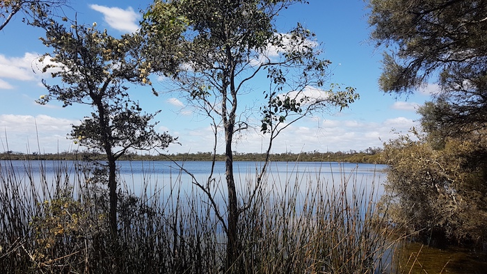
Next stop was at little-known Lake Unicup. Interesting place. Formerly used for waterskiing, that activity is now banned. This 200 hectare lake is brackish in winter and then turns saline in summer.
-
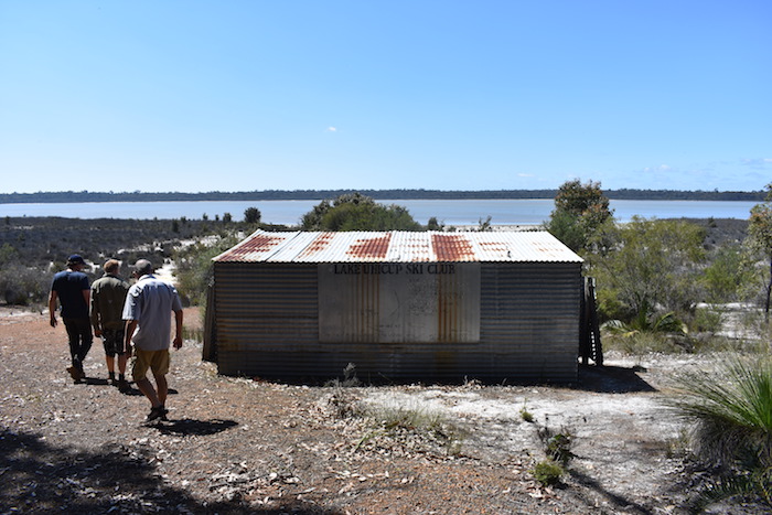
- Abandoned Ski Club shed at Lake Unicup.
-

- Lake Unicup
Red Lake is 10 kilometres further south.
-
- The track into Red Lake campsite.
-
- Red Lake
Lake Muir is another two kilometres south. It, Red Lake and Lake Unicup are part of the same internal drainage containing a complex of wetland systems.
The Bird Observatory at Lake Muir is a fine example of DPaWs’ increasing inventory of high quality, recreational infrastructure that provides better access to attractions on the lands they manage.
-
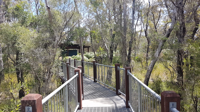
- The elevated walkway at the Lake Muir Bird Observatory.
-
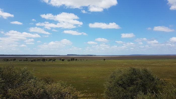
- The view from the Lake Muir Bird Observatory. This part of the lake is known as Cowerup Swamp.
-

- Birds likely to be seen at the Observatory.
-
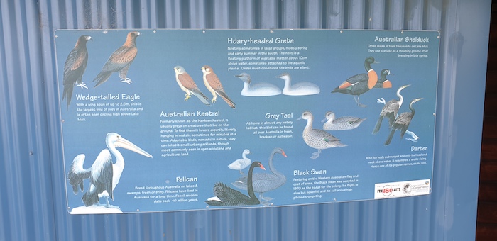
- Birds likely to be seen at the Observatory.
-

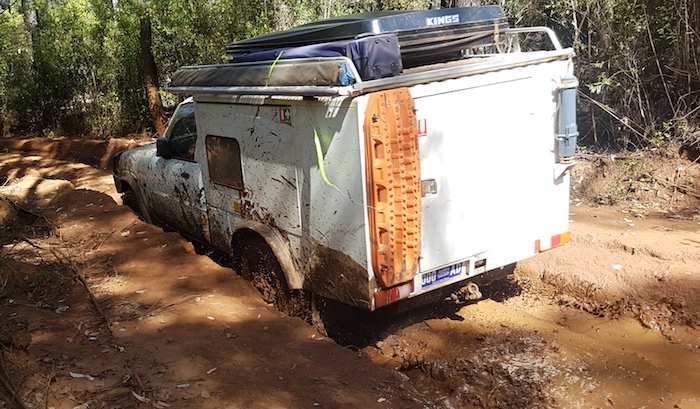
- Matt removes a stick from Brad’s Troopy.
Frustration
We were to then waste the rest of our available time trying to find a way to the South Coast Highway through the forest to the south west of Lake Muir. It is a logging area bounded by three National Parks and the impressive gravel roads all look to be heading in the right direction but one is then confronted by a ‘No Entry’ sign.
-

- Frequently seen in logging areas.
-

- Matt attempting to lift a log that is blocking our path.
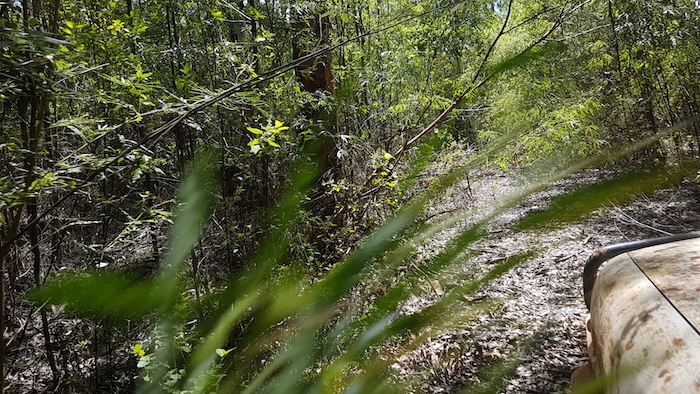
Thwarted, we tried to find Granite Peak campsite. Somewhat of an understatement to say that the track was overgrown.
-

- Overgrown track.
-
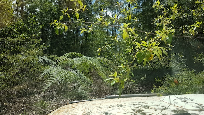
- The track was obscured by karri understorey vegetation.
-
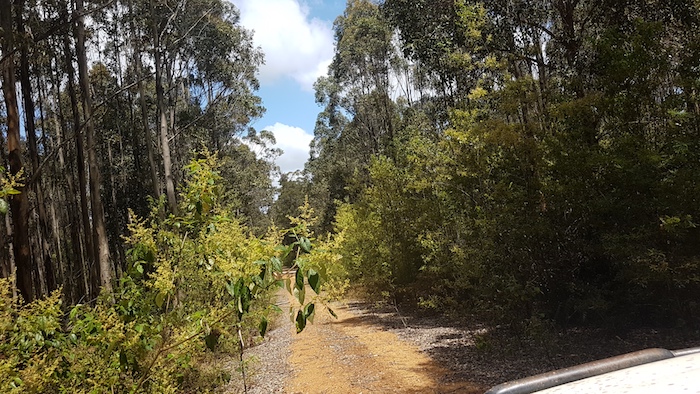
- The track started reasonably open.
-
- The branches were light enough to be pushed aside.
-

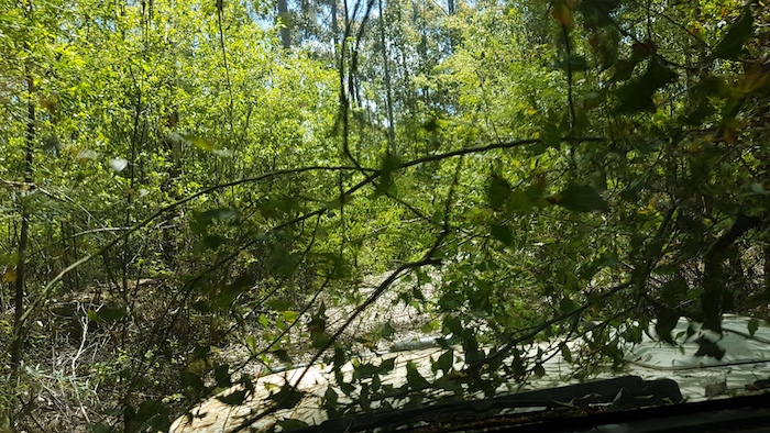
- The track is starting to disappear.
-
- Occasional open patches.
-

- Detritus.
-

- Visually daunting.
-

- Overhanging vegetation was light enough to be pushed out of the way.
-

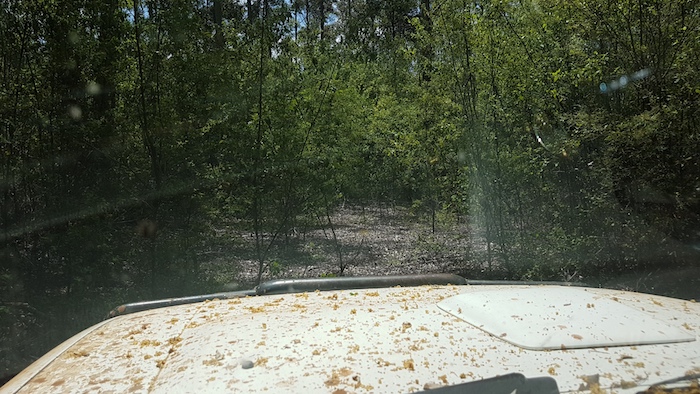
- Through the windscreen.
-
- Not much of the track showing.
-

- An open patch.
After leaving Granite Peak we again searched for a way to the highway but were stymied at every turn.
We headed back to Perth.
View Graham’s short video of the Road Trip.
© Kim Epton 2018-2024
Words (1285) by
Kim Epton.
Photographs (67) by
Kim Epton
Craig Dixon
Michael Orr
Video by Graham Howe
Feel free to use any part of this document but please do the right thing and give attribution to adventures.net.au. It will enhance the SEO of your website/blog and Adventures.
See Terms of Use.