
Leaving Nullagine
We headed east out of Nullagine on the Skull Springs Road.
A few kilometres out of town Eugene got on the radio to announce he was experiencing mechanical difficulties – steering problems. The initial diagnosis was ball joints but Garry and Joe determined it was a tie rod end.
It seemed like it would be the end of the Road Trip for Eugene and Corey. However, the crew was not about to give up before a visit to the stockpile of wrecks at the ‘village’ back in Nullagine.
-

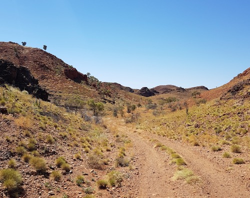
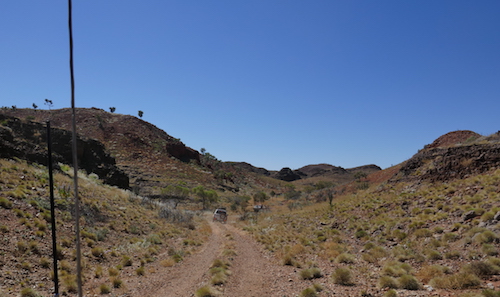
- Track out of Nullagine to Skull Springs.
-

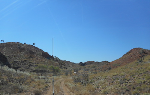
- Track to Skull Springs.
-

- Kim at water pump.
-

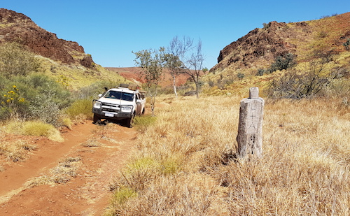
- On the Skull Springs Road.
Corey and Kirk stayed with the stricken Hilux Surf, Joe, Garry and Eugene returned to Nullagine, and everyone else continued on the Road Trip. I changed the overnight stop to Skull Springs.
-

- Australian bustard
-

- On the way to Skull Springs.
-

- At the turnoff to Skull Springs.
-
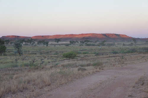
- Prado kicking up dust on the way into Skull Springs in the last light of the day.
There was no area suitable for the size of our group close to the Springs. Just on dusk, Scott located a large cleared area a few hundred metres away.
The remainder of our convoy arrived 45 minutes later. We were surprised to see the Surf with them. They had located a tie rod end from a Pajero at the dump that fitted perfectly, and the Surf was as good as new.
-

- Eugene’s turn at Pictionary.
Skull Springs
For some, the ‘instant’ change/shower tent is the bane of their existence when camping. Depending on the variety they are extremely simple, virtually folding themselves, or so complicated as to be a source of great amusement for onlookers watching a hapless adventurer trying to control it back into its cover. We will convert this annoying feature to a competition in the future.
-

- Mike’s turn.
-

- Greg and Kim have a go.
Before leaving our campsite we took the opportunity to drive down to Skull Springs.
-
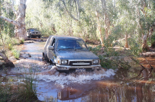
- Eugene takes his Surf through a pool at Skull Springs.
-

- Jeff and Micaela through water at Skull Springs.
-

- Joe takes the Y62 through a pool at Skull Springs.
-

- Scott and Helen in the Jimny.
Leaving Skull Springs we worked our way further along the Skull Springs Road. It eventually intersects the Woodie Woodie Road but nine kilometres before that we turned into Running Waters, also known as Eel Pool. This was our planned stop last night.
-
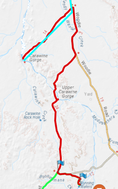
- Skull Springs to Carawine Gorge Map.
Running Waters
-

- Track into Running Waters.
-
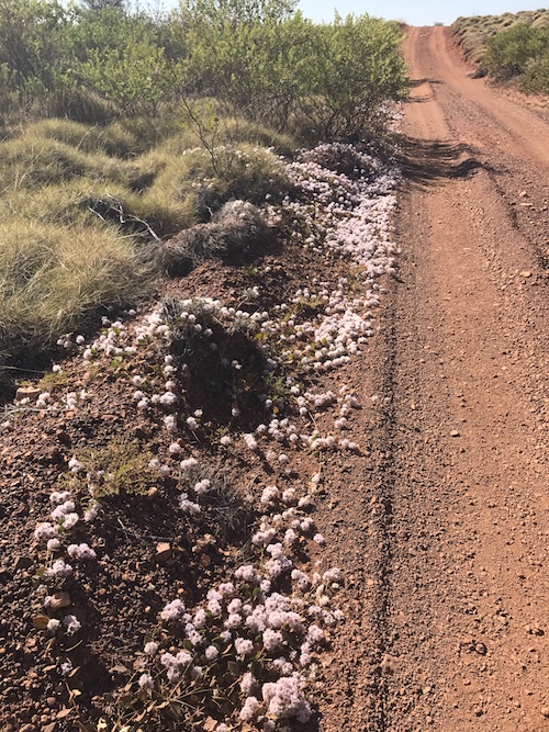
- A different Mulla Mulla lines the track to Running Waters. This Mat Mulla Mulla (Ptilotus axillaris) is a very common creeping plant in the Pilbara.
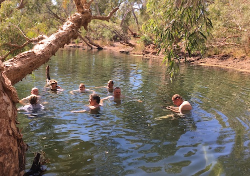
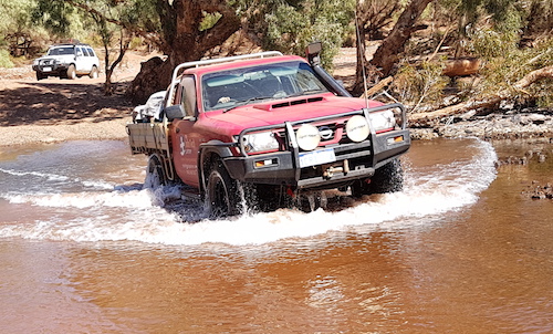
Running Waters is one of a number of great swimming holes on the Oakover River. The track into the swimming hole was washed out – a challenge that Eugene couldn’t resist.
-

- Nick, Phil and Peter on the walk into the waterhole.
-

- The track into the Running Waters waterhole.
-

- The track into the Running Waters waterhole.
-

- The track into the Running Waters waterhole.
-

- The track into the Running Waters waterhole.
-

- The track into the Running Waters waterhole.
-

- The track into the Running Waters waterhole.
-

- The track into the Running Waters waterhole.
-

- Eugene in his Surf.
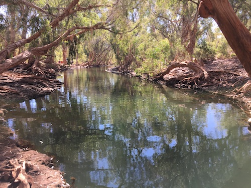
A short walk brought us to one of those wonders of the Outback – a permanent swimming hole.
-
- Lots of these at Running Waters.
-
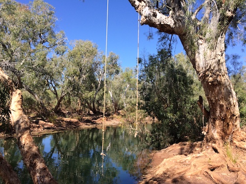
- What’s a waterhole without a swing?
-
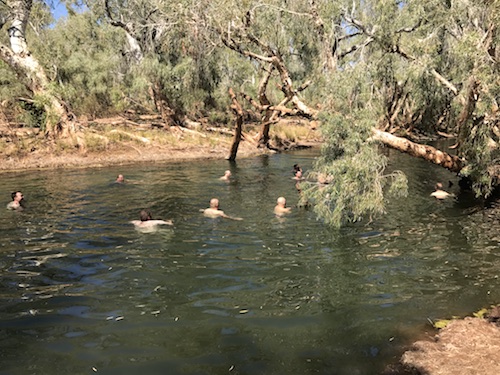
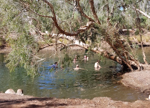
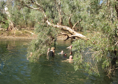
- Swimming at Running Waters.
-
- Running Waters
-

- Running Waters
-
- Running Waters
-

- Running Waters
-
- Running Waters
-
- Running Waters
-

- Scott getting out of the pool.
-

- At Running Waters.
-

- Egret
Time to head to Carawine Gorge.
From Running Waters, Skull Springs Road continues east to the sealed Woodie Woodie Road but we chose to turn west (back along the track we had followed in) and then head north on the Upper Carawine Gorge track.
-

- Twisting track with lots of washouts and gutters.
-

- Peter takes his ‘Cruiser through a washaway.
-

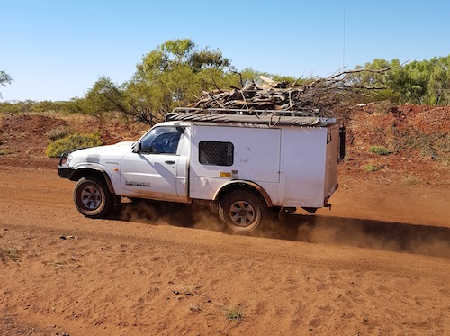
- With Carawine Gorge reputed to be a popular spot we were fairly confident we needed to collect firewood before we got there.
-

- Collecting firewood just before the Upper Carawine Gorge turnoff.
-

- With so many people, collecting firewood didn’t take long.
Oakover River
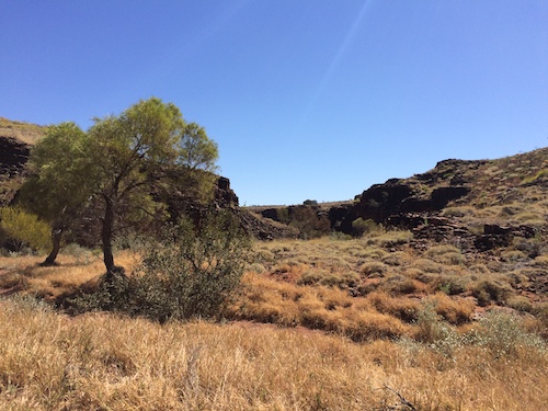
There was nothing of interest at Upper Carawine Gorge so we continued on, crossing the Oakover River.
-

- Looking downriver at the Oakover River crossing.
-

- Peter at Oakover Crossing.
-

- Kerry crosses the Oakover River in his Nissan Navara.
-

- Greg and Margot in the Colorado at Oakover Crossing.
-

- Kirk and Garry at Oakover Crossing.
-

- Looking upriver at the Oakover River crossing.
-

- Nick and Carrie at Oakover Crossing.
-
- Aaron takes his Nissan Ute through the Oakover Crossing.
-

- Exiting the river.
From the river crossing it is about eight kilometres to the sealed Woodie Woodie Road.
Upper Carawine Gorge Track
-

- Parts of the track were ok.
-

- Re-entrant typical of the area.
-
- Kim’s Patrol loaded with firewood.
-
- On the Upper Carawine Gorge track.
-
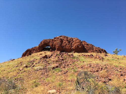
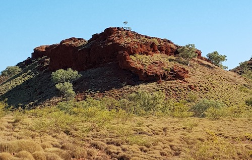
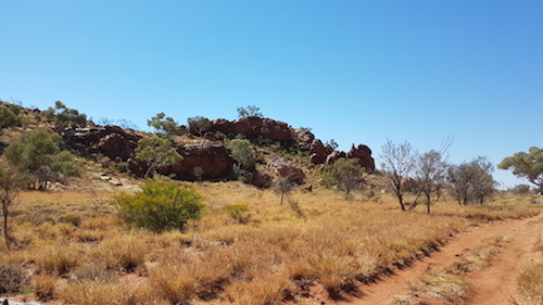
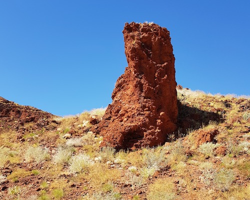
- Prominent feature among many.
-

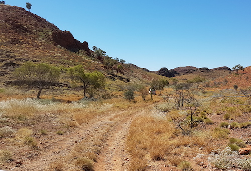
- Along the Upper Carawine Gorge track.
-

- Upper Carawine Gorge track.
-

- Upper Carawine Gorge track.
-

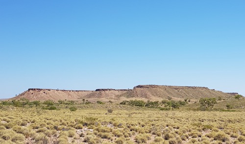
- Flat top mesa.
-

- Along the Upper Carawine Gorge track.
-

- Along the Upper Carawine Gorge track.
-
- Along the Upper Carawine Gorge track.
-
- Along the Upper Carawine Gorge track.
-

- Along the Upper Carawine Gorge track.
The rough track and spectacular scenery continued.
-
- The track wound through an interesting valley through what could be considered as the southern extension of the Ripon Hills.
-
- Interesting drive through the mesas and hills.
-
- Through mesas and hills.
-

- The track was nothing if not interesting.
-
- Valley
-
- Greg and Margot at a unknown marker.
-

- Twisting, turning track.
-
- Valley
-
- Pinnacle
-

- The tracks leads through a picturesque valley.
-
- Picturesque valley.
Out of the valley the track is dotted with mesa and other spectacular formations as it winds its way across open plains between the Oakover River and the Gregory Range.
-

- Wedgetail eagle on the Upper Carawine Gorge track.
When contending with gutters, washouts, dips, sharp, flinty rock and other potentially vehicle-damaging challenges back in the dust of the convoy, I could not help but note the incongruity of the call over the radio of – “I’ve turned onto bitumen”.
The rough track we were on intersects with the sealed Woodie Woodie Road, near two distinctive hills known as Two Sisters.
-

- Greg and Margot in their Colorado in front of the Two Sisters.
It was then bitumen all the way to Carawine Gorge turnoff. Our Skull Springs to Carawine Gorge Road Trip finished at the end of a 14 kilometre, twisting, turning track, with a few reverse camber bends.
-
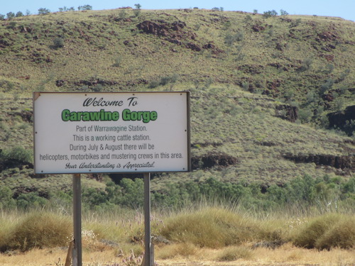
- Entry to Carawine Gorge on Warrawagine Station.
-

- Unloading wood at the campsite.
-

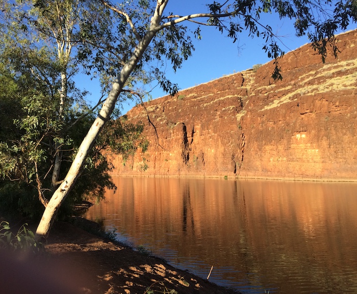
- Carawine Gorge on the Oakover River.
-

- Midday swim.
-

- The gorge is on Warrawagine cattle station.
-

- Prickly beauty – Argemone mexicana or Mexican poppy is an introduced weed.
-

- Looking to the north.
-
- Looking to the south.
-

- Looking furher south.
-

- Ibis on the wing.
-
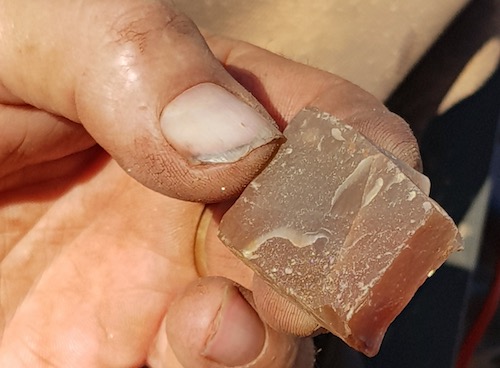
- Crystal

-

- Joe and Eugene investigate a tracking issue on the Y62.
-

- Our camp at Carawine Gorge.
-

- Still waters of Carawine Gorge.
-

- Photographers’ paradise.
-
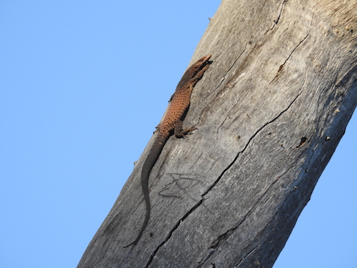
- Monitor lizard seeking birds eggs.
-

- Getting ready for cocktail hour.
The camping/picnic area is deep, coarse river gravel. We found a good spot with shade for most of our vehicles and set up comfortable camps.
We were at Carawine Gorge for lunch and dinner.
© Kim Epton 2017-2024
1238 words, 97 photographs, one image, five videos.
Feel free to use any part of this document but please do the right thing and give attribution to adventures.net.au. It will enhance the SEO of your website/blog and Adventures.
See Terms of Use.