Background
I organised this trip to locate the source of the Murchison River and to ascertain its correct length with a view of proving it to be Western Australia’s longest river. I was joined by Phil Bianchi and Jeff Murray.
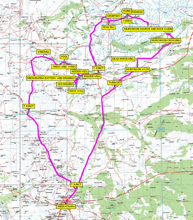
- Murchison Source Map
Day 1
Thursday 9 August 2007
Perth to south of Paynes Find
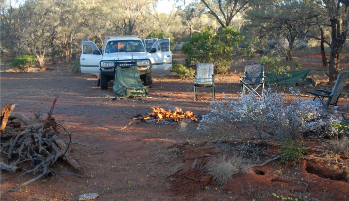
We left Midland in Phil’s vehicle at 5.00 p.m. Stopped at Wubin to refuel and had a late dinner. We then headed off to a campsite Phil had recorded in his GPS log about 70 kilometres north of Wubin. Around 9.30 p.m. the arrow on the GPS display told us that we had found the spot and Phil turned off the bitumen onto a bush track. After a bit of scouting around for a campsite with a suitable supply of firewood and sufficiently distant from the Highway we achieved consensus, and soon had a campfire underway. The three of us chatted away (told lies) until midnight when we turned in. 395 kilometres travelled.
Day 2
Friday 10 August 2007
South of Paynes Find to Source of the Murchison
With no reason to dally we were packed up and on our way by 7.30 a.m. Paynes Find was just up the track and we took time out to look at the old bakehouse, butcher shop and stone tank at the rear of the Roadhouse. Stopped at Mt Magnet for another leg stretch, again at Cue and finally arrived at Meekatharra.
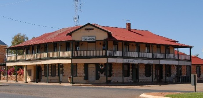
- Hotel Cue
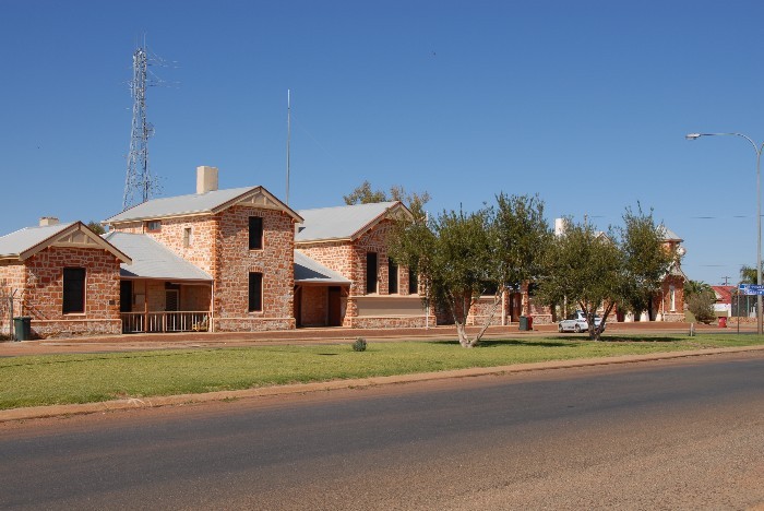
- Government buildings, Cue.
We had lunch at the Meekatharra Lookout, from which we had impressive views over the town and surrounds.
- Open pit mine at Meekatharra.
- Open pit mine at Meekatharra.
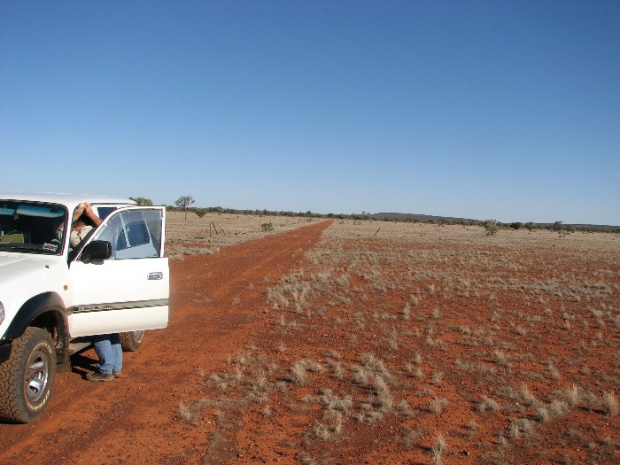
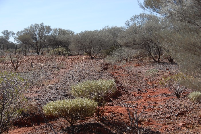
North of Meekatharra we turned west off the bitumen onto station tracks that eventually led us to the old Great Northern Highway alignment. In places this was still in excellent condition. Interestingly many of the creek crossings were marked with quartz stones embedded in the dirt and running parallel with the track – an outback roadside kerb. At times the track disappeared and we did a bit of cross country driving, making diversions around scrub, washouts and/or rocks.
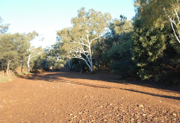
- Murchison River floodout.
- Floodout
- Crossing the floodout.
Magnificent, tall eucalypts delineated the course of the Murchison River where the track crossed it further on – a sight to see. It was here that the usefulness of the GPS came into play. From my trip last year I knew that a track from the north intersected the old Great Northern Highway alignment. Though marked on the map the track was totally overgrown and not able to be sighted from the main track (old Great Northern Highway). We turned off the ‘Highway’ at the coordinates indicated by the GPS and drove across country until we picked up the track a few hundred metres from where we expected it to be.
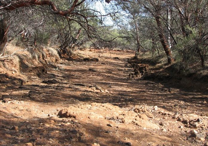
- Upper Murchison River
- Phil’s Landcruiser in the river bed.
- Upper Murchison River
- The river bed is clearly delineated.
We were now in the general area of the source of the Murchison and decided to look for a suitable campsite. Set up camp about 5.00 p.m. 519 kilometres travelled.
- Camp on the upper Murchison.
Day 3
Saturday 11 August 2007
Source of the Murchison to Russian Jack’s camp
We were away at 7.15 a.m., eagerly anticipating locating the source of the Murchison. Using the online GPS and laptop mapping system, we tracked our way to a ridge line and the watershed between the Murchison and the Gascoyne Rivers.
- Campsite early morning.
We climbed to the top of this watershed and located a marker – possibly a survey mark or a mineral exploration marker.
- Marker
After determining that the ridge was indeed the watershed, Phil suggested that we erect a rock cairn at the high point.
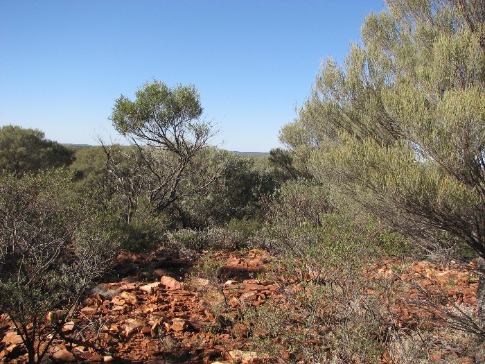
- View from the watershed.
- View from the watershed.
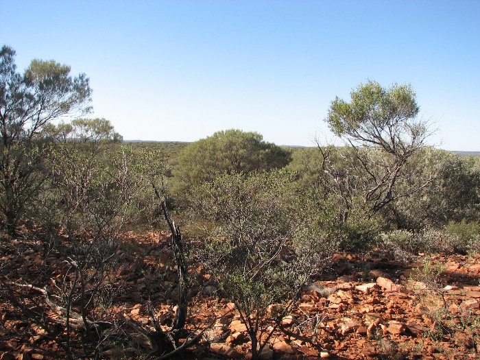
- View from where were built the cairn.
- View from where were built the cairn.
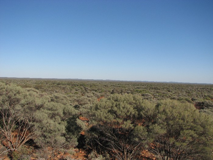
- View from watershed.
- View from watershed.
He claimed that his Italian heritage meant that he had to supervise the work of the toiling artisans. Within half an hour we had constructed a fine rock cairn with a mulga post jutting out the top.
- Kim and Jeff at the cairn.
- Jeff and Phil at the cairn.
- Kim writing coordinates.
- Note left at cairn.
The Supervisor was not overly taken with the quality of the finished product. He felt that we wouldn’t have gotten a job with Canning or Forrest. We wrote a note explaining the significance of the site, put it in a jar and positioned in safely inside the cairn.
- Both had same coordinates.
A few days after we got back to Perth, Jeff advised that he thought that another tributary of the Murchison may be longer than the one we tracked. Some weeks later I was discussing the source of the river with Brett Smith of Carnarvon who was manager of Doolgunna Station in the 1980s. He advised that the source of the river was further east than we had determined. As a result of this new information we agreed that on another trip we would go back to the Murchison and re-determine the river’s source.
- Before leaving the area we walked up the river.
- Upper Murchison River
Our next goal was the manmade rock wall we had been told about. This entailed a trip downriver. For the most part the track was passable; it did however have the usual washouts, dips and deviations. We continued passed numerous old tanks and windmills, fence lines, and old diggings.
- Once the roof goes the building doesn’t last.
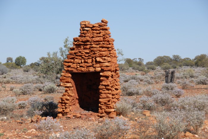
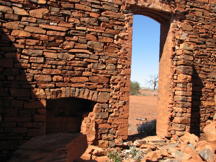
- Fireplaces are generally the longest lasting part of a ruin.
- Disused tank.
- Covered to stop animals falling in.
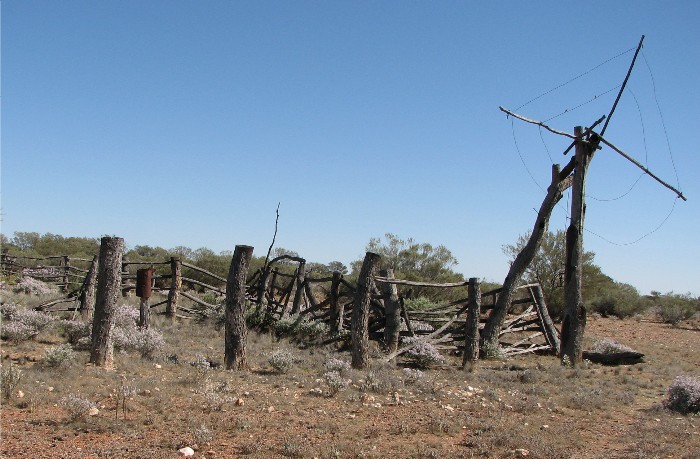
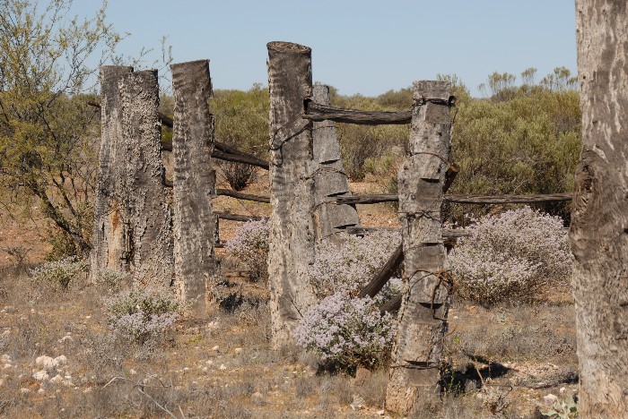
We came across the ruins of a homestead and yards. There was not a lot left. The yards, however, were built of huge posts that remained standing and were in reasonably good condition. Nearby was a gantry used to lifting the carcasses of cattle when they were being butchered.
- Used for hoisting sheep or cattle for butchering.
- Solid yards.
- Post and rail yard.
Approaching Peak Hill we came across the town cemetery. Many of the graves were without headstones but were outlined with quartz stones. The cemetery had obviously had a recent upgrade but an open gate had allowed entry to the ruminants of the region.
- Recent work to beautify the cemetery.
- Don’t know what happened to the pic I was taking.
- Peak Hill cemetery.
- At Peak Hill cemetery. Was it his life or his death that was deeply regretted?
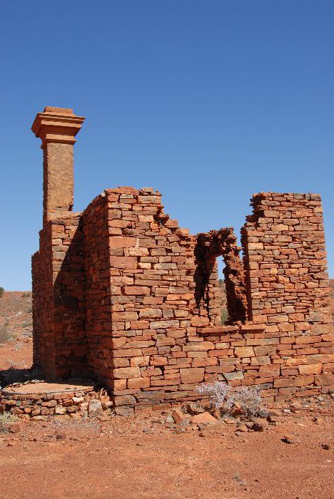
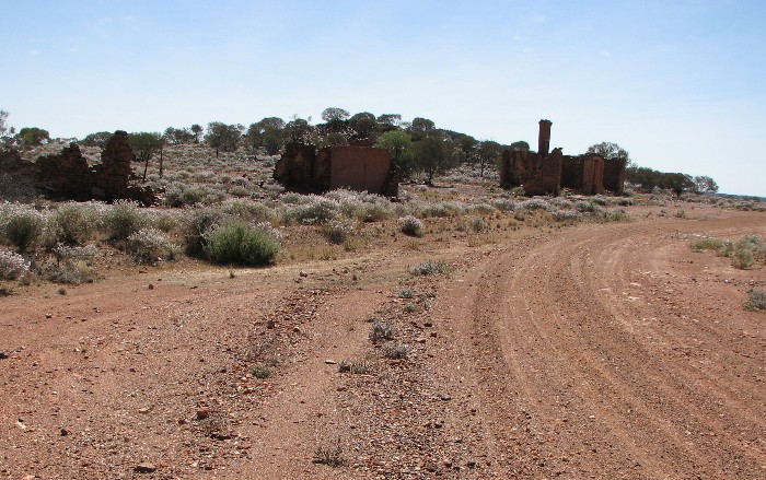
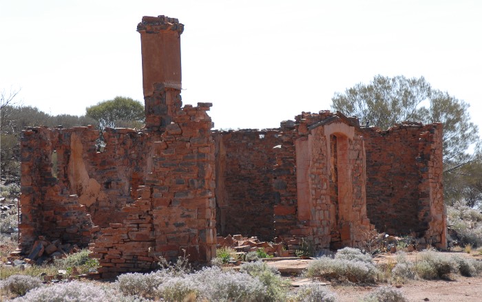
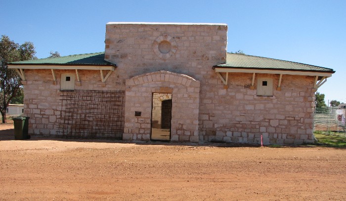
The old Peak Hill town site was just down the road. Many ruins are still evident with the best being the Palace Hotel, bakery and the assay office.
- Ruin at Peak Hill.
- Peak Hill
- At Peak Hill.
- The fireplace is always the strongest part of the building.
- How long will it last?
- Oven at Peak Hill.
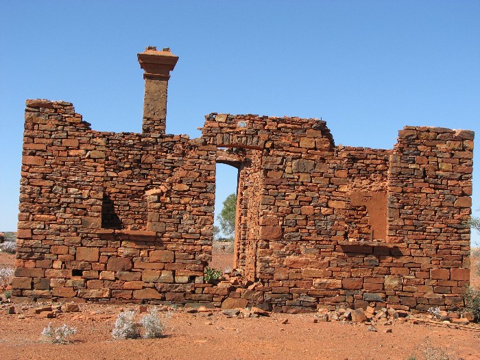
- The condition of the buildings, considering they have lost their roof, is remarkable.
- The comparatively good condition of the buildings is testament to the care and skill of the artisans.
- An industry lost.
After an hour of poking around we reluctantly left Peak Hill – there was so much more to see – headed for Bilyuin Pool and the ruins of the Bilyuin Hotel. Little is left of the hotel except for bits of tin and some rubble.
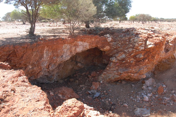
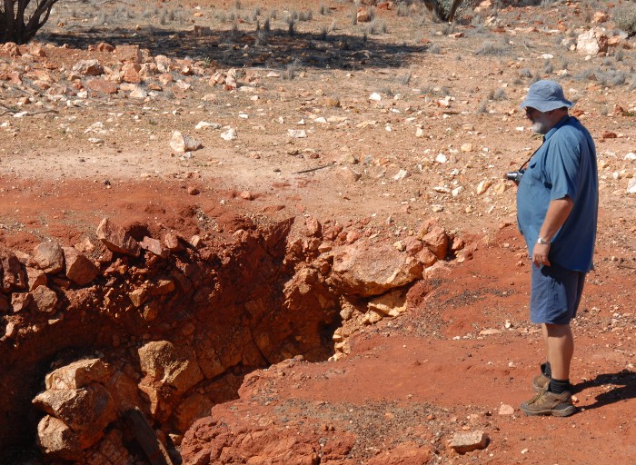
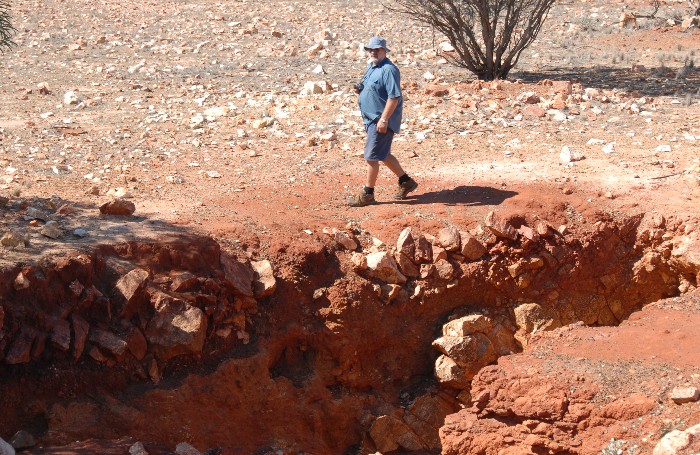
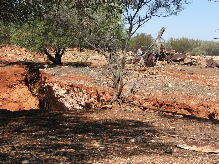
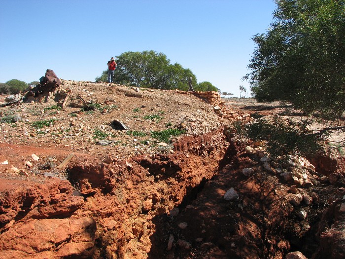
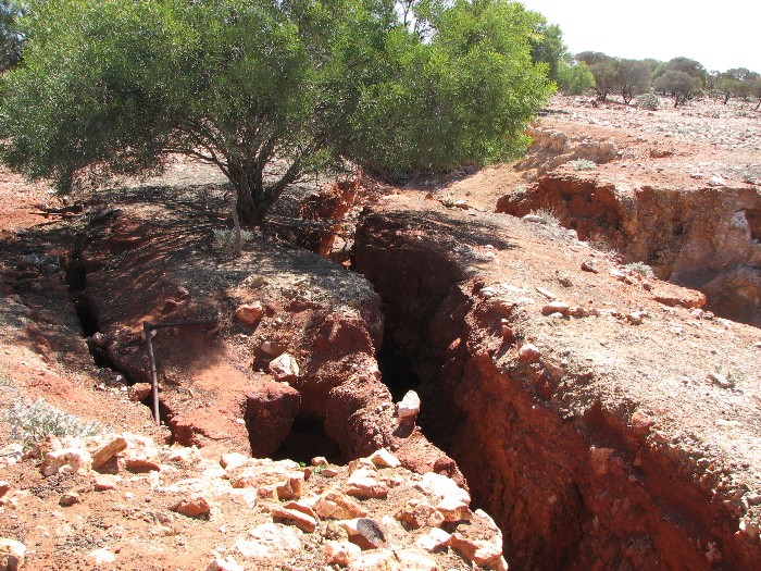
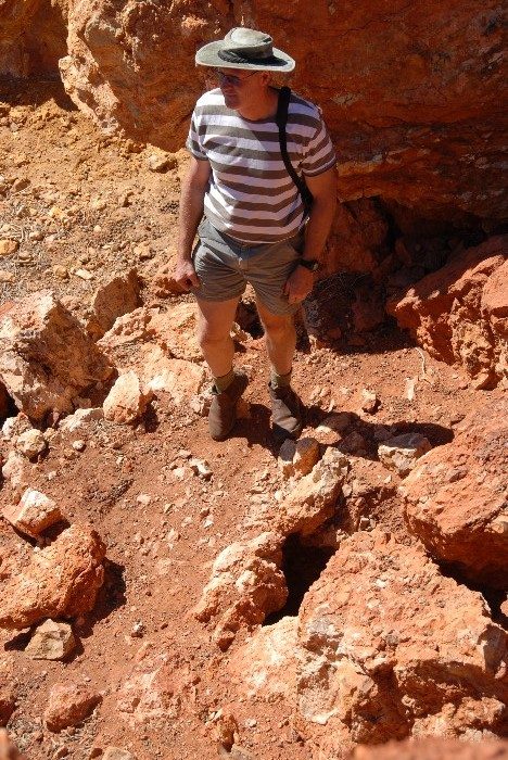
Our next stop was the abandoned site of the Mikhaburra mine and battery. There were many collapsed shafts and tunnels in this interesting spot.
- Mikhaburra mine and battery.
- Phil at site of old battery.
- Phil at site of old battery.
- Site of old battery.
- Site of old battery.
- Site of old battery.
- Site of old battery.
- Site of old battery.
- Site of old battery.
- Site of old battery.
- Site of old battery.
- Jeff at site of old battery.
- Site of old battery.
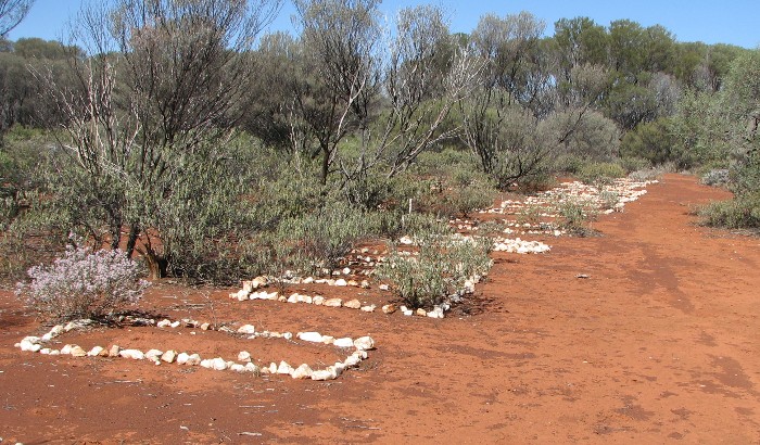
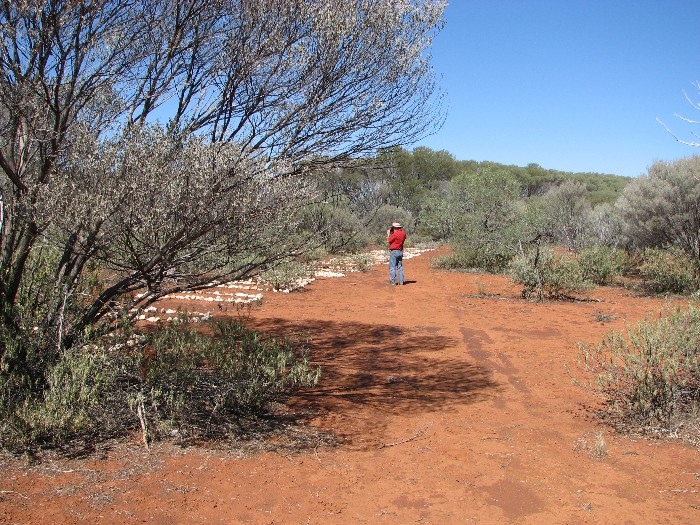
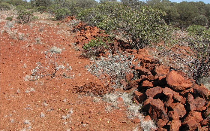
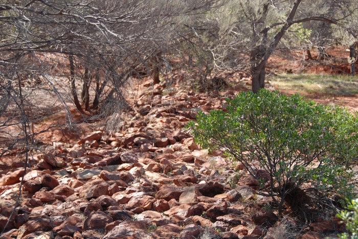
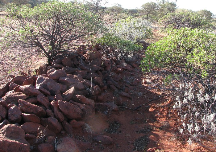
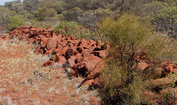
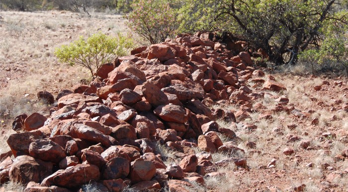
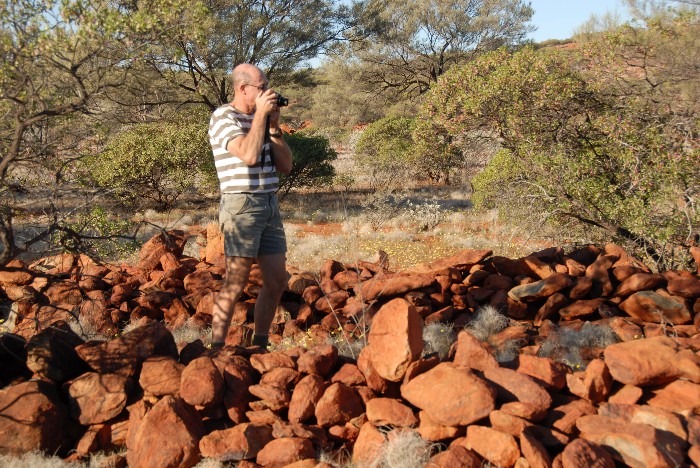
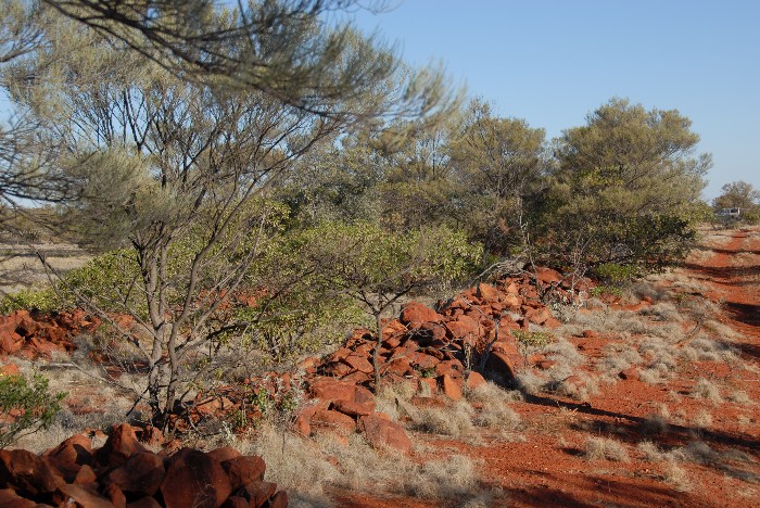
Continuing on a few kilometres to the west we came across the manmade rock walls we had been told about. It was believed that these rock formations were an aboriginal site. I was skeptical. Once suitably re-energised by a tailgate lunch of sandwiches we set off walking along the parallel walls. I walked south and Phil and Jeff walked north.
- Line of rocks.
- Considerable effort had been expended to create the formations.
- They were clearly not of aboriginal construction.
- Initially there seemed no purpose.
- Of consistent design.
- Except that they’re in a straight line.
- They were not contiguous.
- Eventually their purpose became clear.
After a short trek we met again at the start point and I declared that it was the route of an old railway line. Phil and Jeff weren’t so sure.
- Two lines of rocks.
- Two lines of rocks can be clearly seen.
- Jeff on the railway.
- Two lines of rocks can clearly be seen.
- Indications of railway sleepers.
- Indications of railway sleepers.
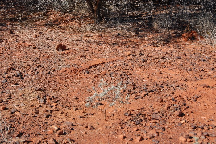
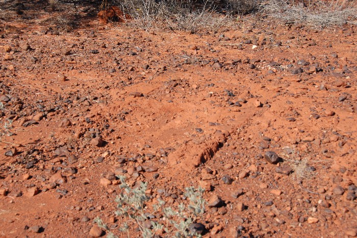
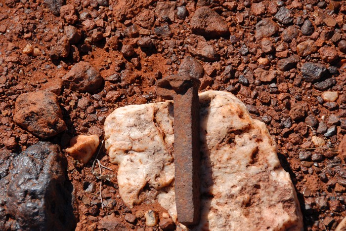
After retracing the route I had taken and finding a rotting rail sleeper and a number of dog spikes we were convinced that the rock walls were the stone ballast that was placed on both sides of a rail formation to protect it from flood damage.
- Jeff with dogspike.
We presumed that this was the Peak Hill-Meekatharra rail line and posited that the line went back to the site of the old Mikhaburra battery. Jeff and I set off along the course of old line to walk to the line.
- Clear indication of a ‘road’.
- The outline of the ‘road’ is indistinct but visible.
- Culvert
- Dogspike
- A small causeway across a watercourse.
- Elevated section.
Phil returned to the vehicle with intention of driving to the battery to meet Jeff and I when we arrived there.
After about two hours Phil became anxious about our non-appearance. He returned to the start point, returned again to the battery, drove to the start point for a second time, all the time sounding his horn, before heading to the battery again. By this time Jeff and I had determined that the railway line did not go to the battery. Simple time and distance calculations revealed that we must have walked beyond the battery, to the south. We made a left turn and hit the track close to a tank that we recognised. We then walked a kilometre or so to the battery to wait for Phil.
Jeff and I saw many more dog spikes on the walk. The railway probably headed to Horseshoe and not Peak Hill. We unanimously agreed that the rock walls are definitely part of a rail formation and that flooding over the years washed away all soil, leaving only two parallel rock walls.
- Two lines of rocks.
Our next destination was the Murchison River via Holden Well, 10 kilometres north-west of Mikhaburra.
- Holden Well still had water. It is located at-25.92453,118.5289.
- Mini Ritchi tree (acacia grasbyi).
- Distinctive small curly flakes of reddish brown bark.
We then followed the river westerly to an old shearing shed and the site of Russian Jack’s Bungalow Hotel.
A large grass area on the banks of the Murchison was perfect for our campsite. The sun set to raucous squawk of dozens of little corellas as they flitted from tree to tree to find a perch for the night.
- Pool in the Murchison River.
As a safety measure I burnt off the grass around the campfire but as the ‘firefront’ approached unmanageable proportions Jeff didn’t share my equanimity.
- Campsite
A night to be cherished. Under the stars, around a campfire, good company, fine food, a few drinks and lively, intelligent conversation. Given the time of the season the evening chill was late in coming – no jacket required. 181 kilometres travelled.
Day 4
Sunday 12 August 2007
Russian Jack’s camp to Perth
After a leisurely breakfast we wandered around the site and, located Russian Jack’s Well and the site of his camp and hotel. The only evidence of the hotel was an area paved with very old bricks and the remains of the brick fireplace.
- Jeff and Kim at Russian Jack’s camp.
Leaving the area at 8.00 a.m. we followed the track ever westwards along the Murchison River. At Mt Padbury we headed south. The station tracks were in reasonable condition – but 40 kph was about the top speed. It was time to re-consider our route. Clearly we did not have time to continue along the tracks we were travelling and still get back to Perth at a reasonable hour. It was time to ‘cut and run’.
- Plenty of these in the Murchison.
Once we were on the Meekatharra-Ashburton Rd we made good time into Meekatharra for refuelling. Then on to Cue.
- Old Cue GoaL
- Old Cue GoaL
- Old Cue GoaL
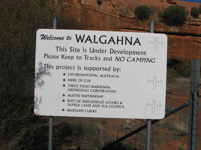
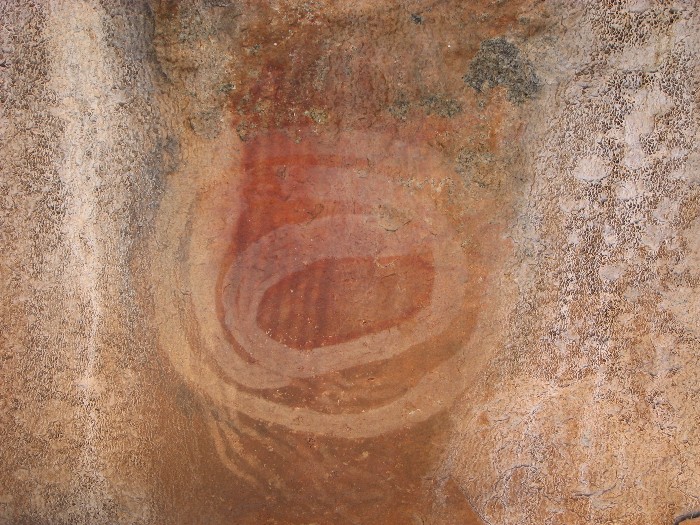
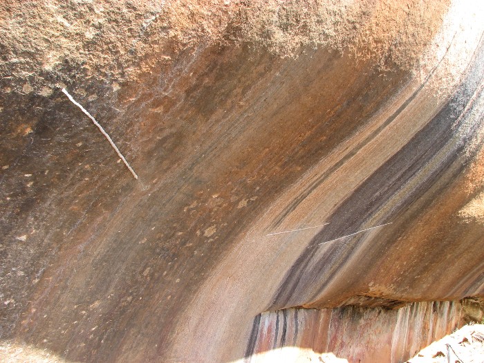
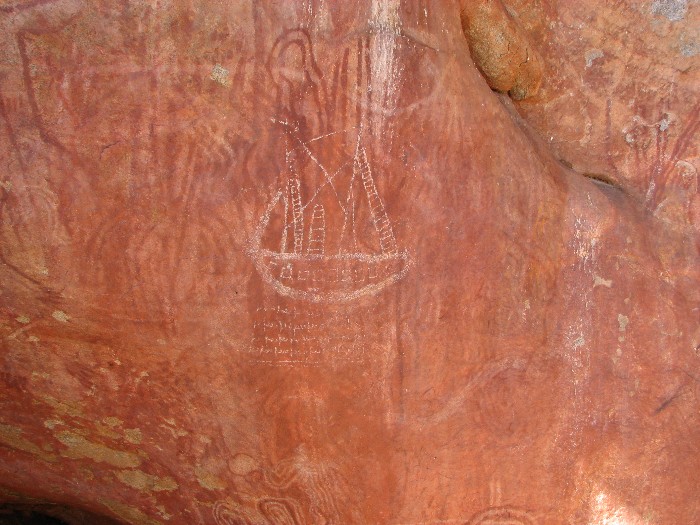
At Cue we left the highway and went westerly to Walga Rock and had another tailgate lunch. Walga Rock is the second largest monolith in Australia after Uluru. It is a 1.8 km long ‘whaleback’ about 50 kilometres south-west of Cue. It has the largest known gallery of Indigenous art in Western Australia.
- Walga Rock
- Walga Rock
- Walga Rock
- Strips of silicone are placed on the rock to protect the artwork from water.
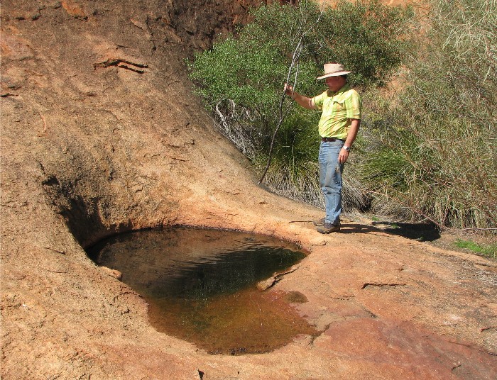
- Measuring the depth of the water in the gnamma at Walga Rock.
- Walga Rock
- Walga Rock
- Walga Rock
- Walga Rock
- Walga Rock
After looking at the Aboriginal paintings we followed the Cue-Dalagaranga Road down to Yalgoo, all the while driving through parched station country.
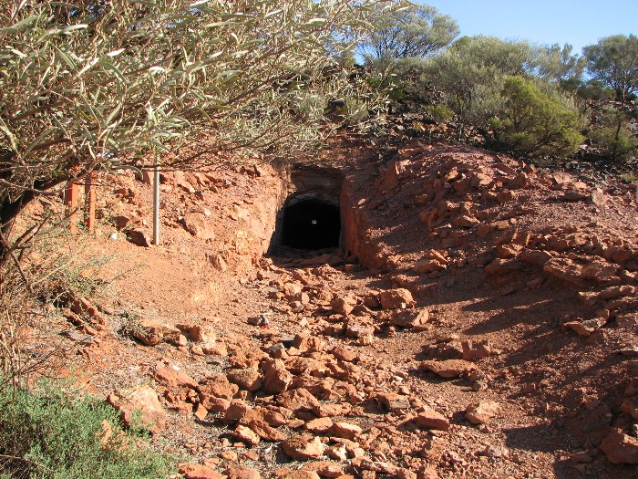
After a leg stretch and ice cream at Yalgoo our next stop was Jokers Tunnel. Jeff and I walked through the tunnel and Phil met us at the other side of the range.
- The entrance to Jokers Tunnel.
- The exit from Jokers Tunnel.
- Phil waited for us.
We continued on the Yalgoo-Morawa Road. The gravel road was in excellent condition, allowing speeds of 100 km/h. At Morawa we secured the last available cooked chicken for our dinner. We arrived in Midland at 9.30 p.m.
Distance travelled – 936 kilometres.
Total Distance of Expedition 12031 kilometres.
Go to Murchison Source Expedition 2008
Go to Murchison Source Expedition 2006
© Kim Epton 2015-2024
2323 words, 107 photographs.
Feel free to use any part of this document but please do the right thing and give attribution to adventures.net.au. It will enhance the SEO of your website/blog and Adventures.
See Terms of Use.

