Lennard Track is a 12 kilometre drive through Wellington National Park starting where River Road crosses the Collie River and finishing at the top of Mount Lennard where Lennard Road enters the National Park.
- LENNARD TRACK
It is a challenging track that requires one’s attention, more so as it gets wet – to the point that is closed each year for some months.
Although no rules are in place as to which direction the Track should be driven, convention is that it starts low and climbs high. However, because we were doing recces for other Trips, we approached it from the top and being mid week, we were comfortable in working our way down to the Collie River.
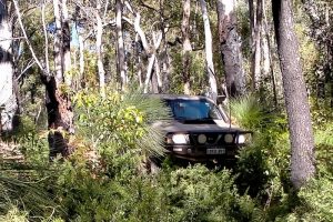
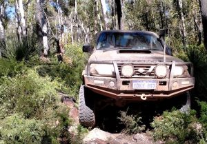
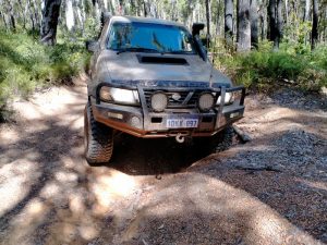
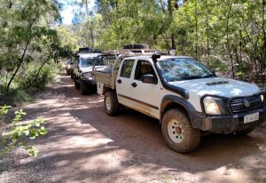
Mushy and Tim were in a V8 powered Troopy with diff locks, front and rear, Aaron was driving a Patrol GU 3.0L Wagon with front and rear diff locks, Scott was in a Patrol GU 4.2L Wagon with portal axles and a front locker and Kim was feeling a little bit inadequate in a Rodeo dual cab ute with a 50mm lift and tired shocks.
Four hundred metres into the Park, Lennard Road swings away to the south and the Lennard Track continues north-east to a fenceline. It wasn’t too much longer before we were into ‘pay attention’ mode. 500 metres, actually.
- Know where your wheels are
- Two large fallen trees trees blocked the way.
- Mushy found a way through the side track.
Two logs across the track and the consequent obstacle was a bit daunting. Someone had tried to cut away a section of the first log that would then allow a vehicle to get through but they had given up. We were discussing how to winch out that section of the log that was nearly cut through and, then, would the gap be wide enough to allow through-passage for a full size vehicle.
As we were making plans Mushy called out that he had found a track around the two logs. Freshly made and not over-friendly but eminently do-able. We were aware that 19 vehicles from Cockburn 4WD Club and a similar number from the South West 4WD Club had completed the Lennard Track in the past three weeks. Clearly this newly minted ‘track’ had not had 38 vehicles over it in the past three weeks. The mystery was solved a few days later when we compared GPX tracks. As they neared the top of the hill Cockburn and South West had taken a more southerly loop to get the finish of the Track.
Not knowing this, we drove the new bypass track – which in reality was just flattened bush – to below the second track-blocking log.
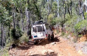
250 metres past the logs we got into some gnarly country, after which the track heads up to a fenceline.
- Indistinct track.
- But clear enough to skirt the logs.
- Mushy’s Troopy lifts a wheel.
- All about wheel placement.
- Finish of the difficult section.
- Clearance was no issue for Scott’s Patrol.
- Patrols.
- Kim was at the front of the convoy.
Five hundred metres after the track leaves the fenceline heading south there is a distinct turn to the east and after a further 200 metres a gate blocks access for when the track is too wet. Two hundred metres past the gate there is another distinct left turn and this is the start of the descent down Mt Lennard to the river.
- Mushy was first down the slope.
- Scott coming down the hill.
- Rutted section of track on the descent to the river.
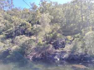
After about 700 metres the Track down to the river levels out and turns south-east. For the next 7.2 kilometres the Track follows the river closely, generally no more than 40-60 metres distant.
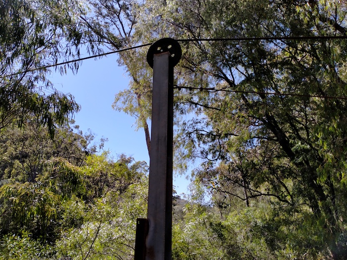
Four hundred metres along the Track is an access track to the river. This is site of a now disused ‘flying fox’. Difficult to determine its reason for being.
- Flying fox
- Rocky pool underneath the flying fox.
We followed the river, noting a number of good campsites, however, the area is day use only now.
- Small drop
Sappers Bridge at Sailors Gully, near a small rapid, gives access to Millbrook Trail leading south-west. There is a ford across the river here.
- Sappers Bridge built in 1968.
The WA-based 22 Construction Squadron built this bridge in 1968 for the then Forests Department. About 100 men walked up the Darling Scarp from Bunbury to create a base camp here. Earthmoving equipment was used to build a road to Sailors Gully. Jarrah trees were felled and milled on site using a new ‘portable forest mill’. The road and bridge were in place in only a few days.
- Our convoy at Sappers Bridge.
- Scott at Sappers Bridge.
The Track along the river rose up and down with nothing too challenging. Over a rise and around a bend and there is a bitumen road. End of the Track.
© Kim Epton 2020-2024
840 words, 32 photographs, one image.
Feel free to use any part of this document but please do the right thing and give attribution to adventures.net.au. It will enhance the SEO of your website/blog and Adventures.
See Terms of Use.


