The Plan was to resolve a few anomalies and inconsistencies that became apparent after our first trip along this Track in September 2020. This Trip was October 2020.
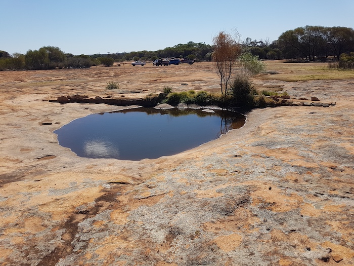
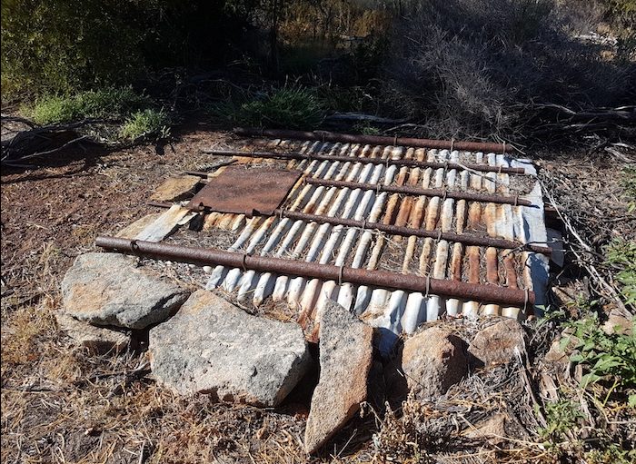
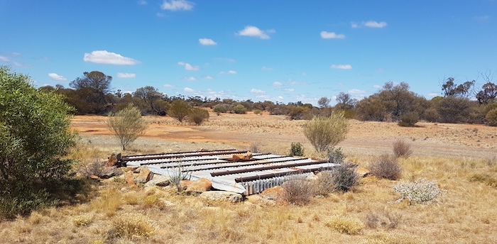
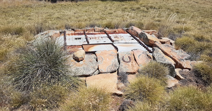
- Hunt’s Tank at Weowanie Rock.
We would spend the first night at Mindebooka Rock, south of Doodlakine. The next morning we would travel to Merredin, then Sandford Rocks where we would try to find a part of the Hunt Track. On to Southern Cross, via Kodjerning Well and Moorine Well, both part of the Hunt Track. From Southern Cross we would head to Yellowdine and start the Gus Luck Track. We expected to have a few challenges to follow it all the way to Goongarrie (we did).
A detailed description of the Gus Luck Track is on the Wells and Tracks website.
We departed The Lakes just after 2.00 p.m., sadly without Elvis Mestric. His radiator blew on the way to the Meeting Point. Better to happen then than during the Trip many kilometres from a service centre.
Mindebooka
Our route took us through interesting salt lake country south of Doodlakine/Kellerberrin, arriving at Mindebooka with plenty of time to set up a comfortable camp. The roaring easterly abated by early evening, allowing us to have a fantastic campfire.
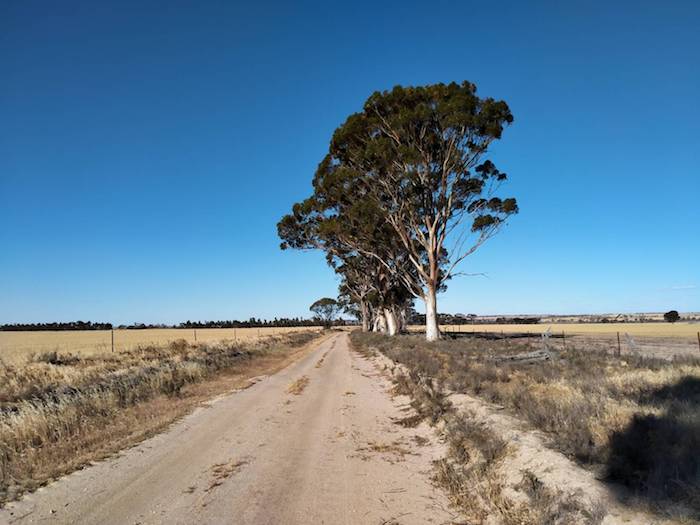
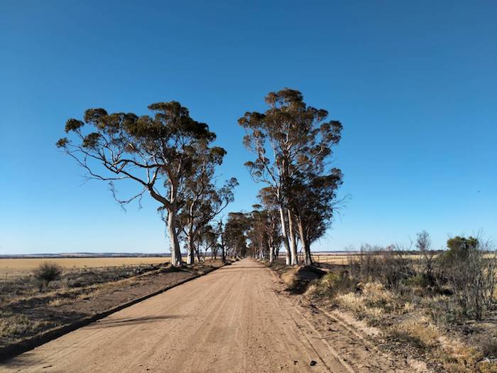
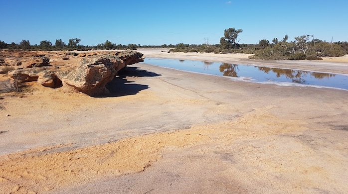
- Back road in the lake country south of Kellerberrin.
- Lake country south of Kellerberrin.
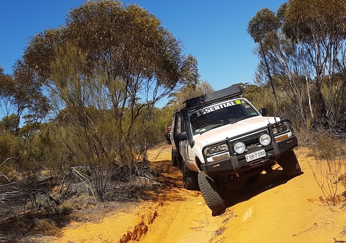
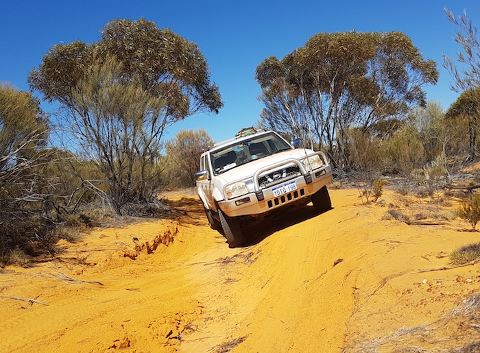
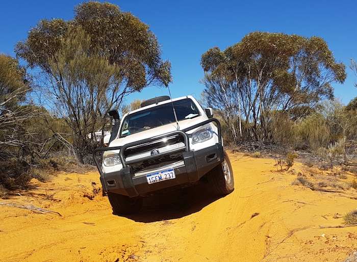
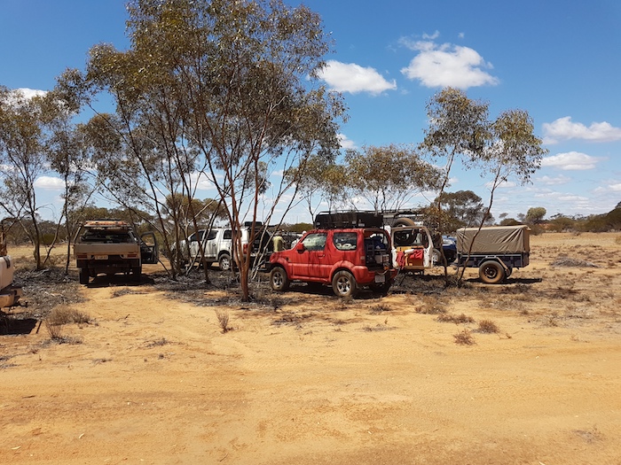
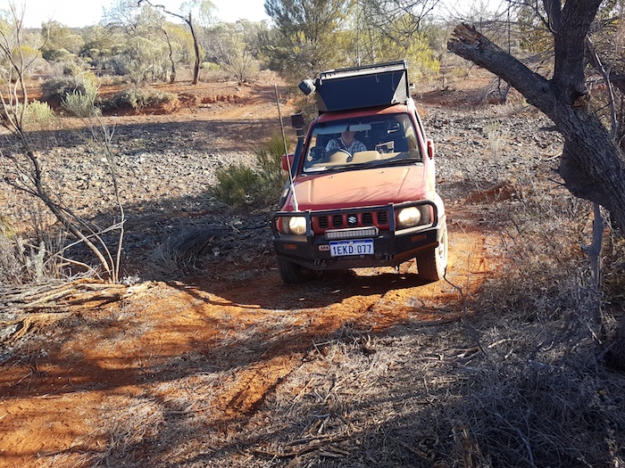
Greg Barndon was driving his Colorado. Scott Overstone, despite having purchased a Nissan Patrol only days before, chose to use his well setup Jimny for this Trip. Corey Rees was towing a trailer behind his modified 100 series and Kerry Davies was in his bog standard Nissan Navara. Peter James and Lone Nielsen joined us late afternoon/evening in their Hilux, towing a Bigfoot camper trailer. My much-hammered Rodeo would need to get me through.
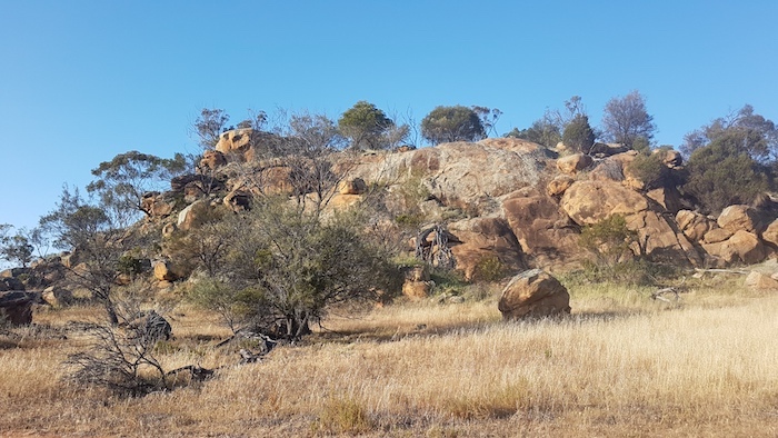
- Mindebooka Hill
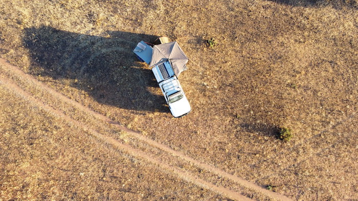
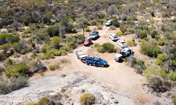
- Coreys camp at Mindebooka.
Totadgin Rock
On Friday morning we departed Mindebooka and found the Bruce Rock-Merredin railway access track. Though this track leads to Merredin I decided to branch off early so we could visit Totadgin Rock and Well.
- Totadgin Well.
- Quandong in fruit at Totadgin Rock.
This well was refurbished in 2016. We left Totadgin on the Merredin-Bruce Rock Road. Our pace was restricted by roadworks so it was an ideal opportunity to stop to view a couple of interesting engineering structures. We had pulled off the road at a Main Roads WA Network Performance Site and, coincidentally, the Merredin Solar Farm, the largest in Western Australia was in the paddock immediately to the west of where we had stopped.
Merredin
A number of Trips over recent times have been routed through Merredin. It is now compulsory to stop at Merredin Bakery. What a thriving business! Indicative of what happens when a good product is offered at a fair price. Non stop foot traffic. That front door just kept on banging.
Sandford Rocks
We left Merredin for Burracoppin, Westonia and Sandford Rocks. The Hunt Track is close to the Rocks but it is overgrown and impassable – as we found out after only a few hundred metres of bush bashing.
- Sandford Rocks.
Hard on vehicles, particularly mirrors, the A pillar and anything hanging off the vehicle such as an awning. Back to the bitumen.
- Parked at Sandford Rocks.
- Two vehicles on Hunts Track at Sandford Rocks.
Southern Cross
Our route took us past Kodjerning and Moorine wells – both part of the Hunt Track – to Southern Cross.
Yellowdine
The Yellowdine rendezvous was a refuelling point, after which everyone gathered in the open area opposite the roadhouse and had lunch.
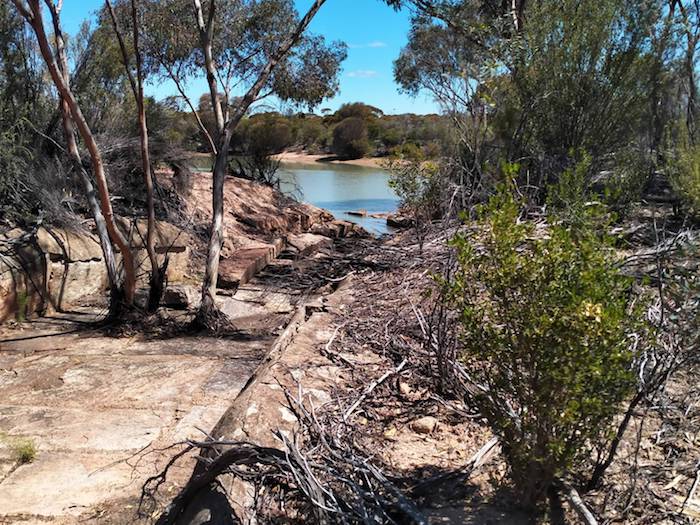
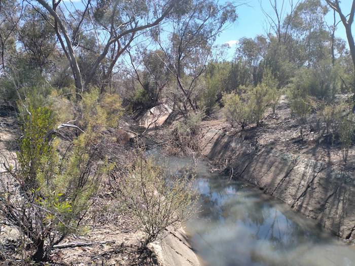
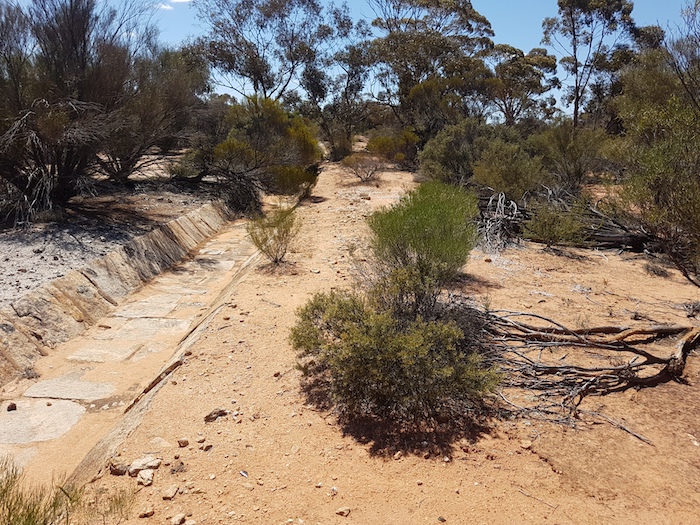
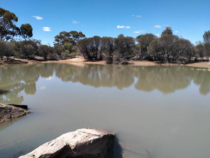
First stop was only a few hundred metres along the way. The main parts of the water harvesting complex at Yellowdine are still intact, if a little rundown and overgrown. The dam at Yellowdine Station was an important stop for the steam locomotives on the Southern Cross to Coolgardie railway.
- The feeder channel at the Yellowdine Rock water harvesting site.
- Yellowdine Rock
- Water harvesting channel.
- Water harvesting channel.
- Water from the rock is directed into the dam.
- Yellowdine Dam
- Yellowdine Dam
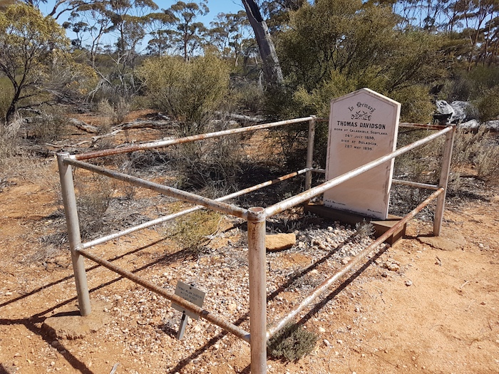
The run up to Duladgin is easy – it is a wide, well formed dirt road with minimal corrugations. We stopped at Duladgin Well and then visited the grave of Thomas Davidson, a pioneer prospector. It is good to see that his grave has been noted by Outback Graves.
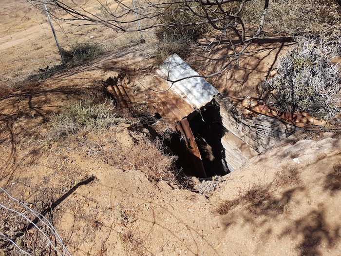
- The Duladgin Well is in poor condition. It was built around 1900.
- The grave of Thomas Davidson, a Scottish prospector who blew his brains out with a pistol.
Weowanie
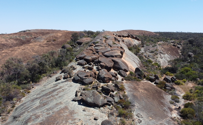
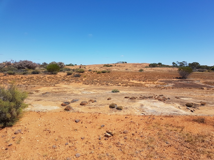
The track into Weowanie is the start of the real Gus Luck Track. It can be very sandy and, because it crosses the southern extension of Lake Deborah, it can sometimes be impassable. We pulled into Weowanie, walked to the summit and had a look at a number of water catchments.
- One of a number of water catchments on and around Weowanie.
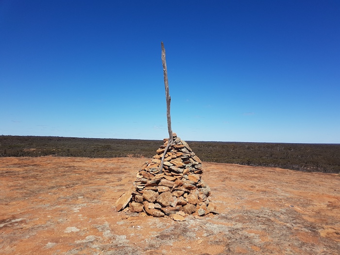
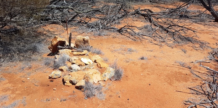
- Cairn at the top of Weowanie Rock.
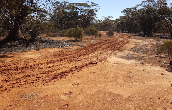
Past Weowanie the Track does a dogleg to cross the Yellowdine Vermin Proof Fence. A short distance after this we stopped at our campsite on the last night of our August 2020 trip down the Gus Luck Track. During that memorable night heavy rain made it difficult to get out onto the Track in the morning, although Brad O’Neil managed to do it (unwittingly) in 2WD.
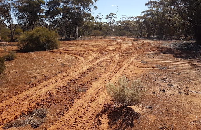
- Wheel tracks leading out of our campsite on the last night of our August 2020 Gus Luck Track trip.
- Heavy overnight rain made getting on to the track quite a challenge.
Ten kilometres later we crossed Eva Lake, a potential track blocker in wet conditions.
- Eva Lake
Darrine
Not far past Eva Lake a large fire in 2019 had devastated the country. The burn extended seven kilometres to the north towards Darrine.
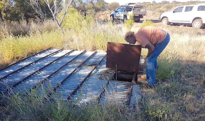
- Darrine Rockhole
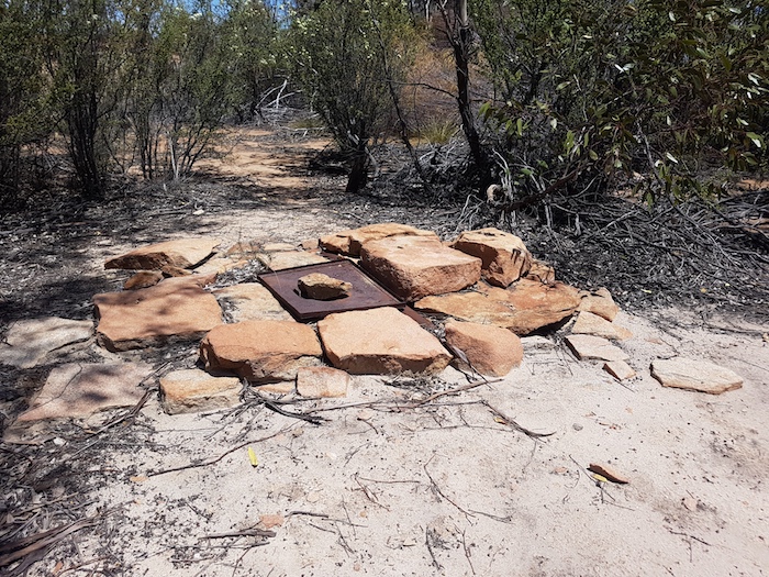
The cover of the rockhole at Darrine has names scribbled all over it, dating back many years. Two and half kilometres from the rockhole the Track reaches the Trans Australian Railway. We followed the railway east for another couple of kilometres to the crossing.
Blazed Kurrajong
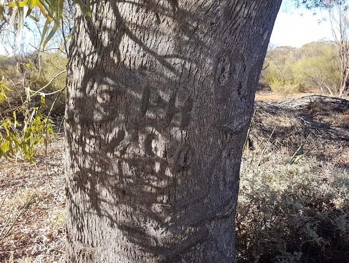
Six kilometres along the Track from the railway is a blazed kurrajong tree. This tree is easy to spot – the bright green kurrajongs stand out from the dominant eucalypts and acacias.
- Distinctive kurrajong tree.
- Unable to read the blaze.
Ullambay Rockhole
Easy driving on the Track to Ullambay Rockhole.
- Kerry at Ullambay Rockhole
Wallangie
Two hundred metres before the ‘main intersection’ at Wallangie there is a grave of an unknown person. It was here, in 1910, that Albert and Len Ives found the body of the unknown pioneer. They buried it at this site. In 2005 the name of the rock was changed from Ive to Ives Rock.
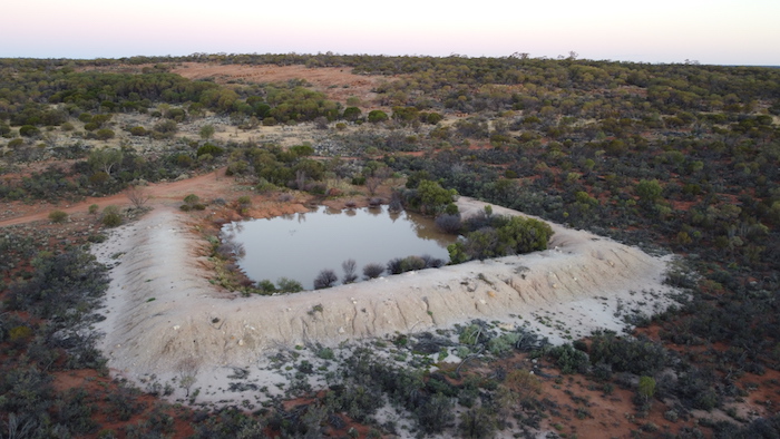
- Wallangie Dam with Ives Rock in the background.
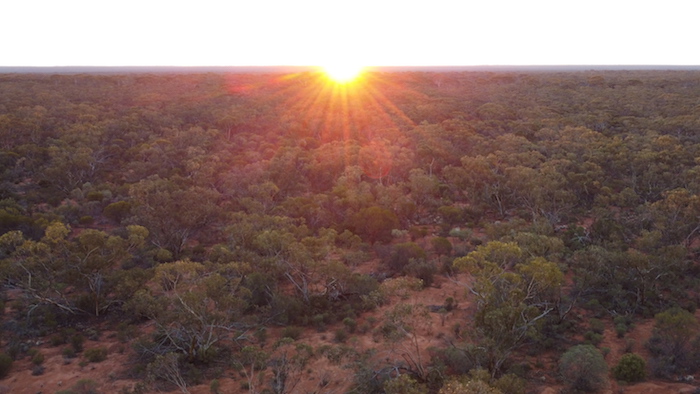
- Sunset at Wallangie.
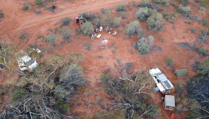
- Wallangie camp.
- Wallangie camp
The plan was to camp at Wallangie. The challenge was to find a suitable site. After a bit of driving around we made do at a spot to the west of the dam.
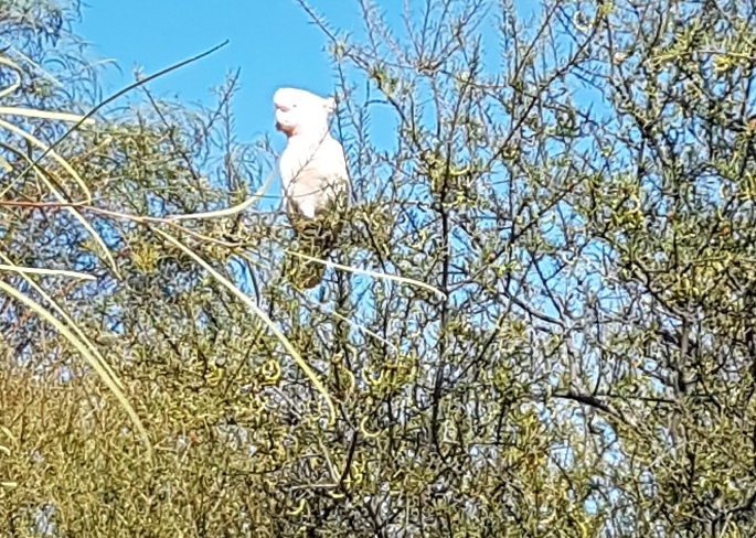
- Sulphur Crested Cockatoo – lost from his flock.
- Wallangie Rockhole
The push along the track continued early the next morning.
- Bungarra
The incongruity of emerging from a rough, twisty, small track onto a wide open, well formed, major haul road as we did just before 71 Mile Rock was repeated at the Mt Walton Haul Road – just after 71 Mile Rock.
Washaway
A couple of kilometres after the haul road the Track has been washed away for about 100 metres. The two vehicles towing negotiated it with ease although it might be a bit more challenging if wet.
- Corey drives his Landcruiser and trailer through the washaway.
- Kerry in his Navara negotiates the washaway.
- Greg takes his Colorado through the washaway
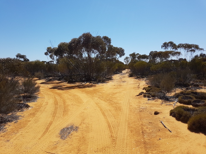
After another couple of kilometres the track swings away to the left. Clearly most of the traffic follows this direction to the north. But it is not the Gus Luck Track – despite all the tyre tracks. Our route was straight ahead on a track that did not look at all promising.
- The real Gus Luck Track is straight despite the mass of tyre marks going left.
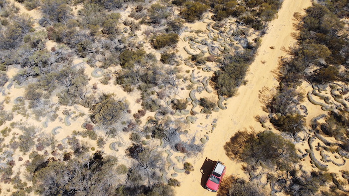
We stayed on this overgrown, narrow track for a little more than seven kilometres until our way was blocked by large fallen trees. A 200 metre cross country jaunt took us out to a good track that joined with the Gus Luck Track a kilometre further on.
To Udardunging
A huge swathe of country has been burned between this intersection and Pilarning Rock. At Urdardunging 1500 metres further on we walked over to a grave. Difficult to determine whether it marks the resting place of a human or an animal. I note that it is not listed on Outback Graves.
- Udardunging Rockhole
- Grave at Urdardunging.
Turturdine
We stopped 500 metres short of Turturdine Rock to look for Nearanging Rockhole. After a minute or so of walking in the general direction of where it was expected to be we found what we were looking for.
- Nearanging Rockhole
Turturdine
We then moved onto Turturdine for lunch and a look around at the rockhole and some rock etchings/graffiti.
- Turturdine Rockhole
- Lunch at Turturdine
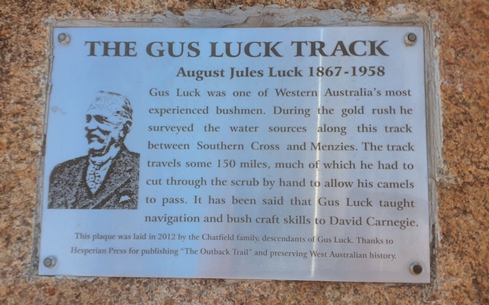
- Plaque at Turturdine.
Coonmine
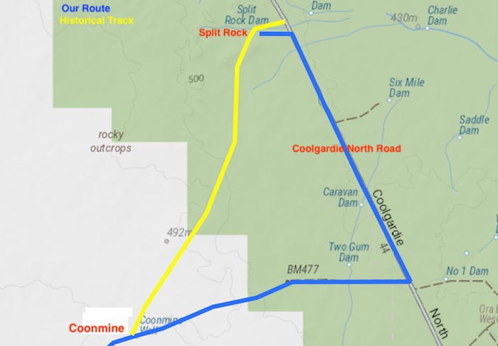
There are a few tight sections on the drive to Coonmine but overall the Track is quite easy. At Coonmine the historic Gus Luck Track heads north-east to Split Rock, however, it has been lost – no track exists. The track east to Coolgardie North Road is an old station track.
- Coonmine Well – the end of the Gus Luck Track for most travellers.
Finding the Lost Track
It is at Coolgardie North Road where most people finish the Gus Luck Track, however, we intended to complete as much of the track as we could through to Goongarrie. This entailed a 13 kilometre drive north to Split Rock to see if we could pick up the Gus Luck Track there. The track into Split Rock from Coolgardie North Road is not the Gus Luck Track and the historical track between these two points has been lost.
- COONMINE TO SPLIT ROCK
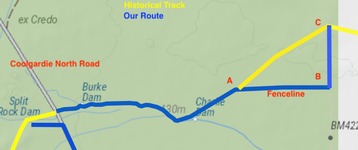
However, I was excited to find the Track leading to the east of Coolgardie North Road about 600 metres north of the track leading into Split Rock. We made a tentative entry and after a short distance it was clear that a viable track existed and was heading the way we wanted.
- SPLIT ROCK TO BOUNDARY TRACK
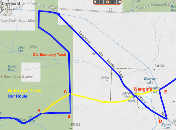
After nine kilometres the historical Track is impassable (Point A), however, we were not disappointed as this was our first ‘re-discovery’ of the Track.
- On arrival at ‘Point B’ we confirmed our position and the next course of action.
From this point we followed an old fenceline to an old boundary track (Point B) that took us north back to the historical Track at Point C.
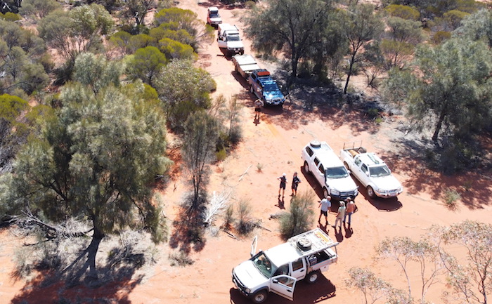
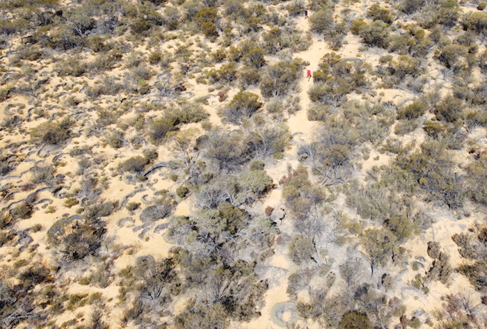
At Point C we found the Gus Luck Track heading east, after Corey put up his drone. We walked along the ‘track’ sighting a number of artefacts that confirmed it was indeed the historical Track.
- The historical Gus Luck Track that leads eventually to Wangine can clearly be seen leading off the main track opposite where Scott’s Jimny is parked.
- Kim in red shirt can be seen walking along the historical track – impassable to vehicles – that leads to Wangine.
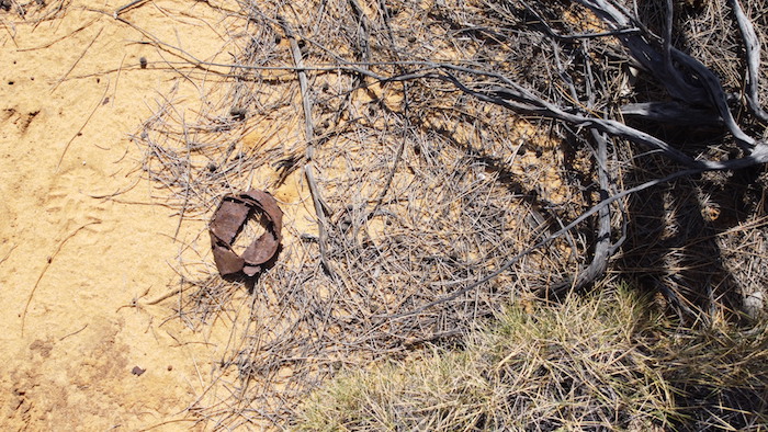
- One of the many cans, bottles, horseshoes and other artefacts that provide convincing evidence we were on the historical Gus Luck Track.
- This rusted can was one of many found on the Track.
This overgrown Track is impassable to vehicles. It comes out at Wangine, at a point where, during our August 2020 Trip, we followed it west for 500 metres.
- DETOUR FROM BOUNDARY TRACK TO PIPELINE TRACK
Wangine
What was the best route to Wangine? There was no short route. I decided to head north along the old boundary track with a view to coming out on the Davyhurst Road. We would then have to head south-east to Wangine – a total detour of 34 kilometres.
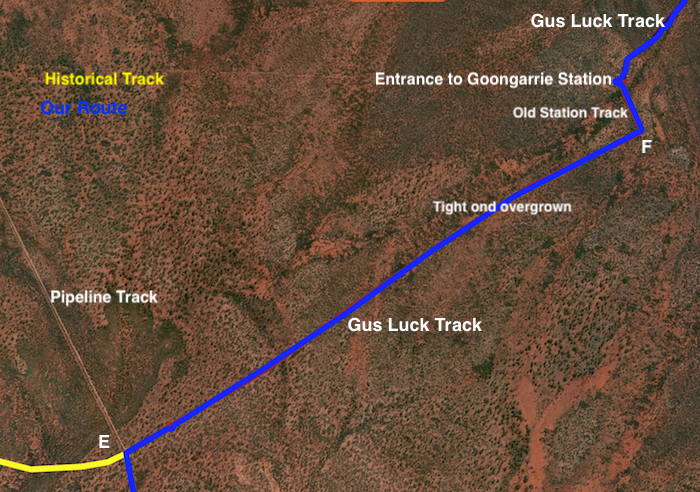
We didn’t stop at Wangine, choosing instead to find the Gus Track Track at Point E. It was at this point I had seen an overgrown track heading towards Lower Goongarrie in August and I was confident it would take us through to the boundary of Goongarrie Station (now owned by Department of Parks and Wildlife and run as conservation reserve and campground).
A number of times during the five kilometre push that confidence was tested as the track became tighter, more overgrown and, in some places, nearly non existent. However it eventually intersected with a wider track (Point F, see below) that reconnected with the Gus Luck Track at the entrance to Goongarrie Station. Our second successful re-discovery.
- PIPELINE TRACK TO GOONGARRIE
From this point we were familiar with the Track, having done it in August, albeit in the opposite direction.
- Scott takes his well-travelled Jimny across the creek.
- GOONGARRIE STATION
The sun was low on the horizon but as it was behind us it wasn’t affecting our driving vision so I pushed on to Goongarie. We found an acceptable campsite on a side track and set up a comfortable camp,
Corey surveyed his tally of damage – punctured tyre (sidewall), broken spare wheel carrier and broken awning mount. Hopefully his Road Trip would improve.
- Broken spare wheel carrier on Corey’s Landcruiser.
We had finished the Gus Luck Track with the following results:
Distance travelled on Gus Luck Track
Yellowdine to Wallangie – 88 km
Wallangie to Coonmine – 71 km
Split Rock to Point A – 9 km
Point E (Pipeline Track) to Lower Goongarrie – 5 km
Lower Goongarrie to Goongarrie – 30 km
Total – 203 km
Length of Historic Track determined
Coonmine to Split Rock – 16 km
Point A to Point C – 5 km
Point C to Wangine – 9 km
Wangine to Point E (Pipeline Track) – 4 km
Total – 34 km
Length of Gus Luck Track
Yellowdine to Goongarrie – 237 km
Additional Distance
Detours – 77 km
© Kim Epton 2020-2024
Text and Layout
2317 words, 53 photographs, five images.
Kim Epton
Corey Rees
Feel free to use any part of this document but please do the right thing and give attribution to adventures.net.au. It will enhance the SEO of your website/blog and Adventures.
See Terms of Use.


