A two day, 218 kilometre Road Trip from Esperance to the Eyre Highway via the Balladonia Track.
- ESPERANCE TO EYRE HIGHWAY
We took Goldfields Road and then Fisheries Road out of Esperance, 68 kilometres to Condingup. The Balladonia Track runs off Fisheries Road 52 kilometres east of Condingup. It is routed generally north for 177 kilometres, through the north-west part of the Cape Arid National Park, Nananbinnia and on to the Eyre Highway at Balladonia Roadhouse.
Travellers driving from Esperance to the Eyre Highway, seeking the shortest route, generally take Parmango Road that leaves Fisheries Road five kilometres east of Condingup. It is a better and more direct route, joining the Balladonia Track about halfway along it length.
Condingup
A tour of the township revealed that Condingup is more than just the tavern and general store. With a population of more than 400 it is quite a bit bigger than one would expect when driving past.
Mt Ragged
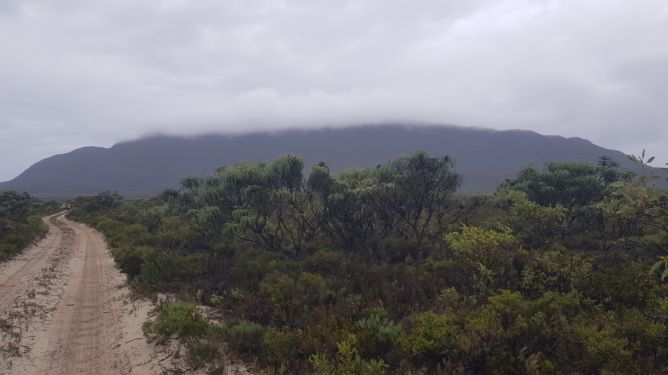
Forty seven kilometres along the Track we turned into Mount Ragged.
- The track into Mount Ragged.
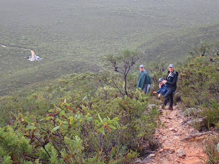
Scott, Howezit, Andrew, Joanne, Peter and Lone elected to make the climb up the Mount. It started raining as they were preparing and continued throughout their walk.
Greg erected his popup and those who chose not to climb had lunch under the shelter.
- On the Mount Ragged track.
- On the way to the top.
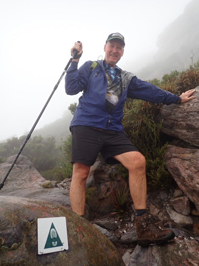
- Peter on Mount Ragged walk track.
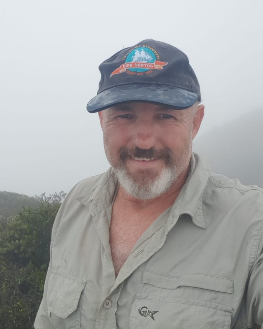
- Graham ‘Howezit’ Howe
- Peter descending Mount Ragged.
The walkers/climbers returned and we left Mount Ragged, heading north on Balladonia Track. The drive was easy enough.
- Graves at Pine Hill.
Further on we searched for and found Juranda Rockhole.
- Claypan/lake at Juranda Rockhole.
Sixteen kilometres further on we turned into Balbinya.
Balbinya
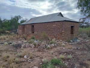
Balbinya was settled in 1884 by John Paul Brooks, his mother Emily Henrietta and sister Sarah Teresa. They had walked from Albany to Israelite Bay in 1874. Brooks was the first linesman at Israelite Bay Telegraph Station from 1877 to 1883. He managed Balbinya till his death in 1930.
- The restored Balbinya Homestead.
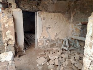
- Jo gets carried across the threshhold.
- The restored storehouse at Balbinya.
We left Balbinya and continued north. The Track changes markedly from where it intersects with Parmango Road.
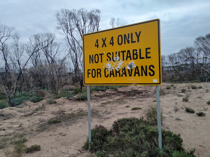
- For southbound travellers, the Balladonia Track deteriorates from this point.
- If there was any doubt about the message from the first sign the second sign reinforces it. However, the track presents no fears when dry. And even if wet, only a few places would cause concerns.
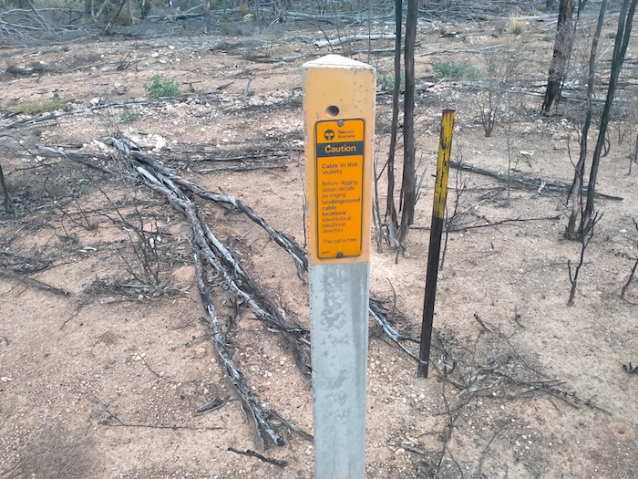
The cleared thoroughfare was about 100 metres wide north of from where the Balladonia Track and Parmango Road intersect. The reason for such a wide clearing of vegetation is unknown although it is likely to be the ploughed-in Telstra cable parallel to the track and 50 metres to the east of it.
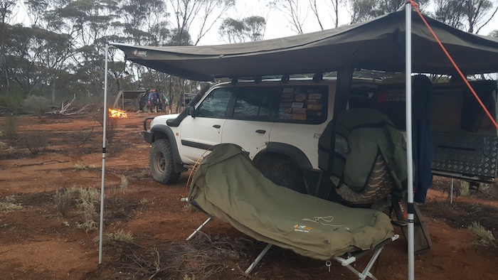
We turned off the track and drove into Booanya Rock. It was late in the day with rain threatening when we arrived so we continued past the Rock, searching for a suitable campsite, which we found 600 metres along the track.
- Graham’s camp at Booanya.
Booanya Rock
Next morning it was a short drive back on our track to Booanya Rock.
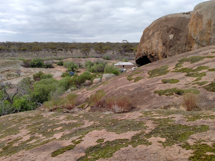
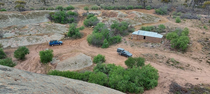
- Booanya Rock and outstation.
The building at Booanya Rock is being restored.
- Outstation building at Booanya.
- The building is being restored.
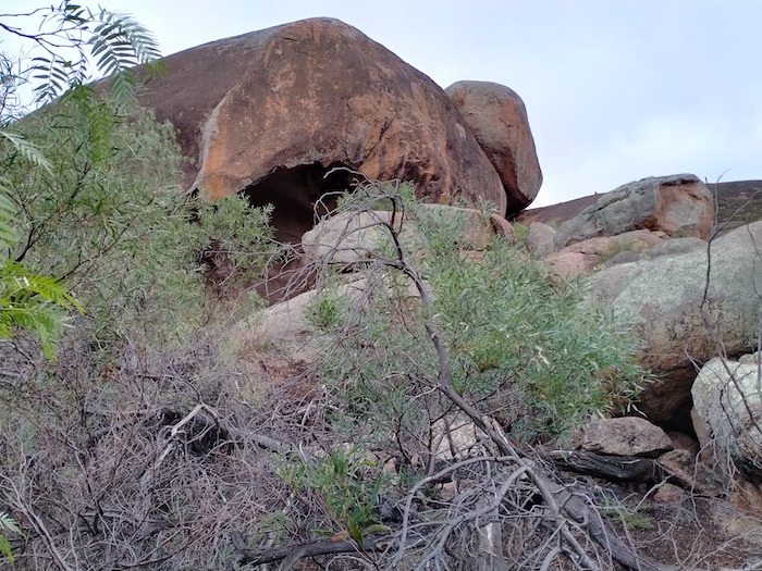
- A large tafone at Booanya Rock.
- Booanya Rock
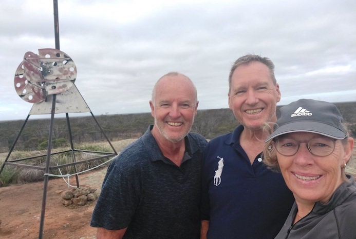
- The ‘cap’ of Booanya Rock where someone has constructed a mock up of a communications dish.
- Peter climbed a pretty dodgy ladder to join Scott at the top of the rock.
- Scott, Peter and Lone atop Booanya Rock.
- The restored homestead from the top of Booanya Rock.
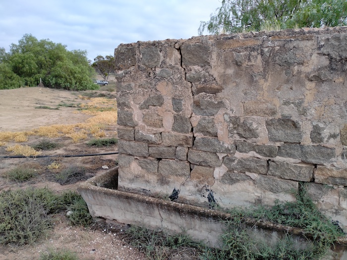
We headed north and stopped at a dam (empty) where there was plenty of evidence of human activity. One corner of the cement-lined tank and water trough was in good condition.
- Cement-lined tank and water trough adjacent to a dam north of Booanya Rock.
The next sign of habitation was Nanambinia, however, the ‘No Trespassing’ signs did not encourage stopping to look around or even take photographs so we continued north towards Balladonia to refuel.
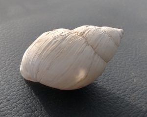
Large Land Snail
- Lots of snails.
- This is one of the largest land snails in Australia, if not the largest. It is tentatively identified as Bothriembryon Dux.
As scientists are finding out more about these molluscs, they are more clearly identifying them and allocating them to more precise geographic regions, with resultant name changes. This looks like the Bothriembryon toolinna, however, the location where it was seen is quite a few kilometres from Toolinna Cove. Perhaps it should be known Bothriembryon balladonia. There were many thousands of them on the Balladonia Track.
Eyre Highway
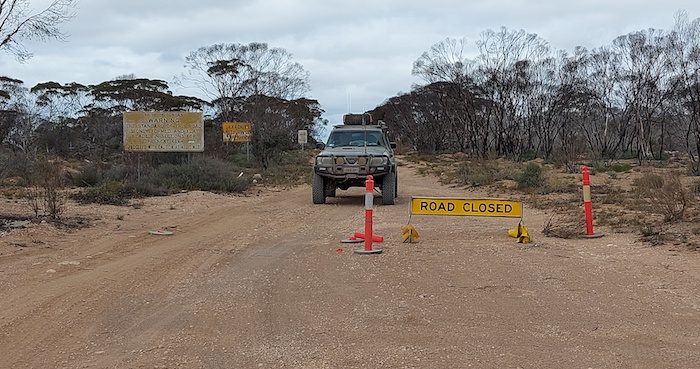
- At the intersection of Balladonia Track and Eyre Highway. Note that the sign is incongruously positioned so it doesn’t block access.
The ‘Road Closed’ sign confronting southbound travellers at the junction of Eyre Highway and the Balladonia Track is an example of bureaucratic laziness. Anecdotally, it is said to have been there for a long time – possibly years. It is totally inaccurate and could cause angst for respectful, law abiding travellers unsure of the ramifications, however, there shouldn’t be ramifications for travelling on a perfectly safe, acceptable road that has no reason to be closed.
After refuelling at Balladonia Roadhouse our Road Trip continued to Peak Charles via the Old Coach Road.
© Kim Epton 2021-2024
916 words, 28 photographs, one image.
Photographs
Kim Epton
Lone Neilsen
Graham Howe
Feel free to use any part of this document but please do the right thing and give attribution to adventures.net.au. It will enhance the SEO of your website/blog and Adventures.
See Terms of Use.


