
-

- ROUTE OF SOUTH EAST THAILAND ROAD TRIP
Bangkok to Aranyaprathet
The journey from Bangkok to Aranyaprathet was a chance to again get used to the madness that is driving in Thailand, accentuated in Bangkok. Aranyaprathet is a fairly large town very close to the Cambodian border.
-
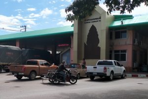
- Thai-Cambodian border at Aranyathet.
-

- Border checkpoint.
Aranyaprathet to Trat
The route south from Aranyaprathet to Trat was through farming country close to the Cambodian border and included an off-bitumen adventure on a rough track through a durian farm.
-

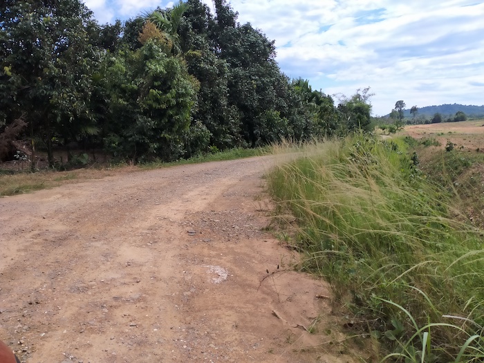
- Rice fields.
-
- Entering a country town.
-

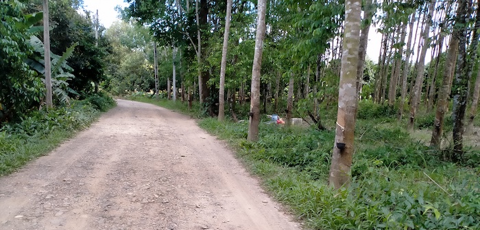
- Through a rubber plantation.
-

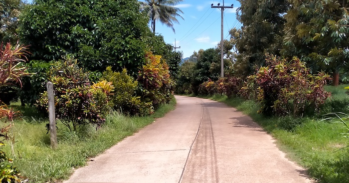
- Typical country road.
-

- Water control.
-

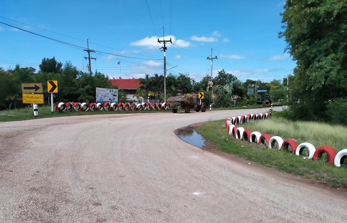
- Country town.
-
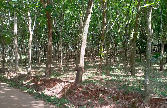
- Rubber trees.
-
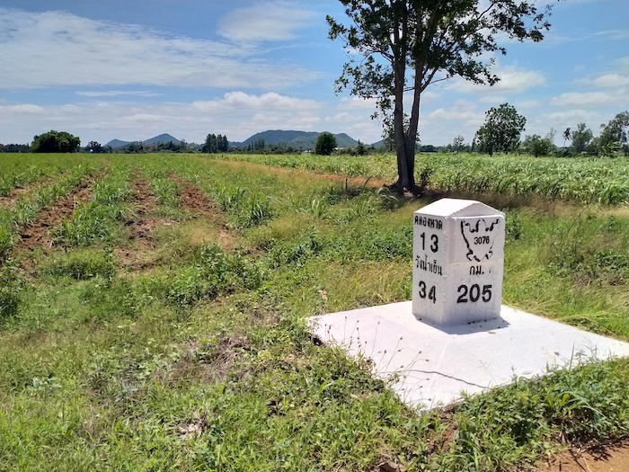
- Klong Haad (Hat) 13 km, Wang Numyen 34 km from this distance marker. The marker is 205 km along Route 3076.
The elevation had been almost imperceptibly but inexorably increasing and then, after 30 kilometres or so, the descent to the coast became noticeable.
The shortcut through a produce farm was interesting and illustrative, and not without trepidation and worry about getting the low clearance 2WD vehicle back out again onto the sealed road.
Durian Farm
-

- The multicoloured entrance into the farm is very beautiful.
-
- Hundreds of metres of exotic bushes and shrubs lined the road into the produce farm.
-

- Lush vegetation along the track.
-
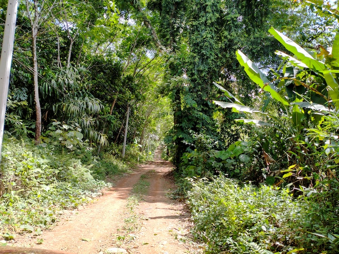
- Very tropical, even jungle-like.
-
- Opening up to farming land.
-

- Small gaggle of geese.
-
- The road is still adequate.
Our course was around around the edge of the Khuan Khereethap Reservoir and then eastwards towards the Cambodian border. The next 35 kilometres was close to this border until we deviated towards Trat.
Koh Chang
After overnighting at Trat we made our way to the Koh Chang ferry pier at Ao Thammachat.
-

- Koh Chang ferry Ao Thammachat.
Chai Chet
On the way to our accommodation at Centara Koh Chang we visited Chai Chet.
-

- Chai Chet Viewpoint.
-

- Fishing boats on the Chai Chet inlet.
-

- Colorful traditional style trawler at Chai Chet.
Koh Rung Boat Trip
A highlight of the visit to to Koh Chang was a boat trip to Koh Rung, leaving from Ban Dan Mai.


-

- Snorkelling at a small island.
-

- Tropical island beach.
-

- Floating walkway.
-

- Shallow water at Koh Rung necessitates boats anchoring many metres off shore.
Tour of Koh Chang West Coast
Before heading back to the mainland we drove south along the west coast of the island.
-

- View of Koh Man Nai.
-

- Koh Man Nai, Koh Man Nok, Koh Pli, and Koh Yuak – all part of the Mu Koh Chang National Park.
On the southern tip of Koh Chang is the beautiful fishing village of Bang Bao, along with numerous holiday resorts.


Time to travel back to the ferry for the trip to the mainland.
Black Sand Beach and Mangroves
Once back on the mainland we headed to the black sand beach/mangrove forest near Laem Ngop. This black sand beach is one of only five in the world. The others are in Taiwan, Malaysia, California and Hawaii.
-

- Boardwalk along the shoreline.
The beach is surrounded by mangrove forests that are sanctuary for a wide variety of marine life. The forest at Trat was developed and improved by the local people.
-

- A boardwalk winds through the mangroves.
-

- The mangroves are flooded by the tides.
Mangroves are flooded daily by seawater. As with other forests, mangroves promote regular seasonal weather. The roots of the plants hold and protect the shoreline preventing erosion. They trap the runoff sediment and marine debris while at the same time providing a habitat for a large number of flora and fauna. They play a part in helping seagrass and corals grow.
-

- Lookout tower.
The claimed healing properties of the black mud are unproven. The mud is a form of iron/silica/limonite – Fe2O33H2O.
-

- The black mud of the mangroves is reputed to have healing qualities, although there is no scientific evidence for this belief.
-

- Mangroves help prevent erosion, act as a filter and provide nurtients for marine life.
South Coast Beaches
We followed the coast along the closest possible sealed road from one beautiful beach to another. The number of closed resorts was sad, although we found one to our liking that was open at Laem Sing.
-

- Beach at the overnight stop.
-

- Laem Sing.
-

- Laem Sing.


Phairi Phinat Fort
Next day we followed the beaches towards Rayong. We stopped at Phairi Phinat fort.
-

- Phairi Phinat fort.
-
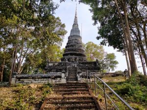
- Prang at Phairi Phinat fort near Laem Sing.
-

- View of the bridge over the Chanthaburi River at Laem Sing.
The drive close to the coast continued from one beautiful beach to another.


-

- Pak Nam Khaem Nu
Chao Lao Markets
The market in Chao Lao has produce and general items on one side of the road and seafood on the other.
-

- Fish market at Chao Lao.
-

- Wide variety of seafood.
-

- Crabs and other seafood at reasonable prices.
The coastal drive continued.


We left the coast and headed north to Wang Nam Khiao, and ultimately Khon Kaen.
© Kim Epton 2022-2024
847 words, 66 photographs, one image.
Feel free to use any part of this document but please do the right thing and give attribution to adventures.net.au. It will enhance the SEO of your website/blog and Adventures.
See Terms of Use.