
This day would take us to the Pilbara.
-

- North West to the Pilbara
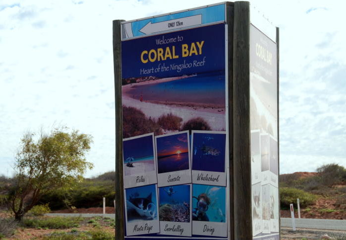
Day 4 Carnarvon to Coral Bay
Next morning, on the way out of Carnarvon, we stopped at some plantations to buy some fruit.
-

- Plantation
-
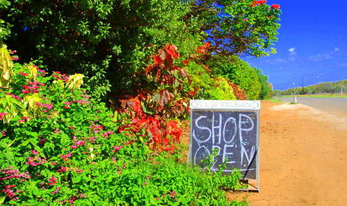
- Fruit sales at plantation.
The North West Coastal Highway crosses Western Australia’s longest river, the Gascoyne, at Nine Mile Bridge. Most times of the year one could walk across the river.
-
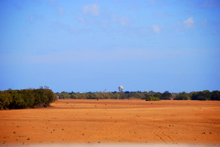
- The dry bed of the Gascoyne River. The disused OTC dish is in the background.
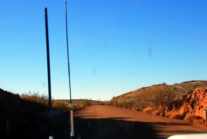
The turnoff to Coral Bay is 133 kilometres further north.
-
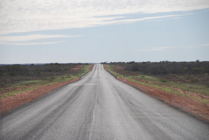
- The long road north.
-

- We were to see many of these.
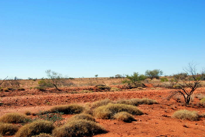
-

- The red soils of the North West.
-

- One becomes inured to big distances.
-

- There are hundreds of floodways along the Highway.
-

- A very famous sign.
-

- Our turnoff.
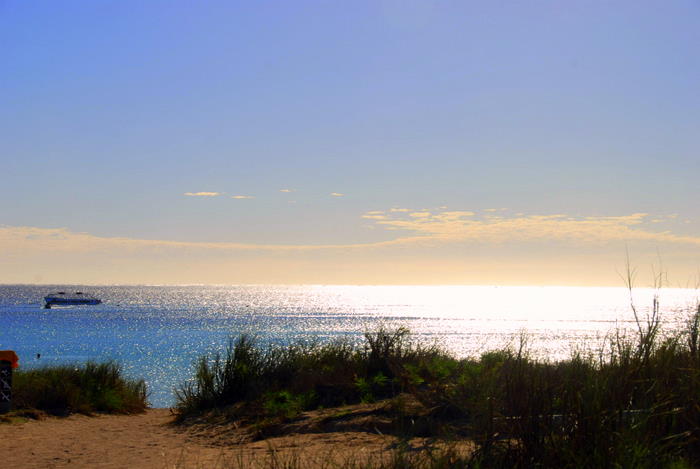
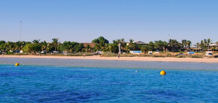
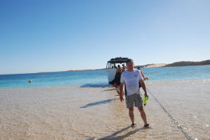
Coral Bay is in the Ningaloo Marine Park, another world heritage listed area. The 260 kilometre long Ningaloo Reef is Australia’s largest fringing coral reef and the only large reef located so close to shore. At Coral Bay it is possible to swim to the reef.
-
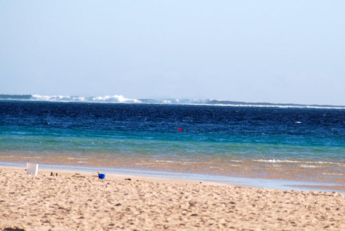
- Protected by the Ningaloo Reef.
-

- Coral Bay
-
- Coral Bay
-

- Beach shack.
-

- On the beach.
-

- Rat of the skies.
-
- On the coral coast.
-
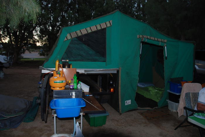
- Our setup at Coral Bay.
-
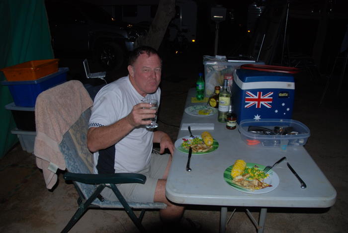
- Living well on the beach.
-
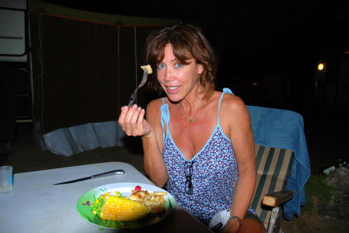
- Fresh caught Australian fish, Tammy.
Day 5 Coral Bay to Tom Price
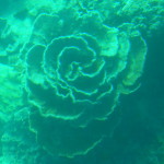
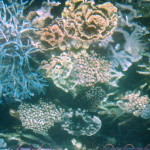
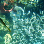
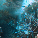
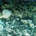
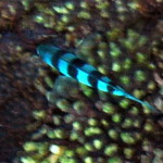
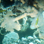
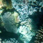
The main attraction of Coral Bay is of course Ningaloo Reef and no visit is complete without a trip aboard the glass bottom boat to view the amazing coral in all its different colors and forms.
-
- The settlement of Coral Bay.
-

- underwater
-

- underwater
-
- underwater
-
- underwater
-
- underwater
-
- underwater
-
- underwater
-

- underwater
-
- underwater
-
- underwater
-

- underwater
-
- Kim at Coral Bay.
-

- Tammy leaving the coral viewer.
Time to leave the Coral Coast and head to the Pilbara – spinifex, iron ore mining, long distances, contrasting colors, sweeping plains, spectacular gorges and big everything.
-

- In the Patrol.
-
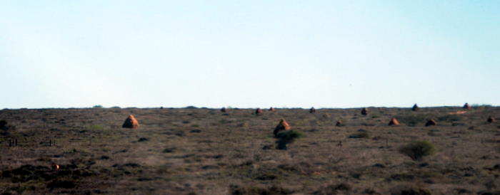
- Termite mounds north of Coral Bay.
-

- Emus on the Birkett Road.
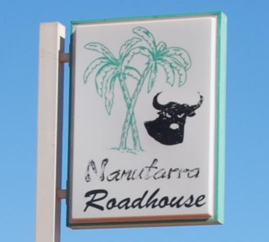
We returned to the North West Coastal Highway via Birkett Road, a drive of 140 kilometres. 110 kilometres up the road is Nanutarra Roadhouse alongside the Ashburton River, well known for expensive fuel and even more expensive roadkill. The turnoff to Tom Price is another five kilometres north.
-

- Welcome to Nanutarra – expensive and difficult-to-justify fuel, food and accommodation.
-

- Nanutarra Roadhouse – a reason for long range fuel tanks.
-
- Plan to miss it.
-

- On the Nanutarra-Tom Price Road.
-
- On the way to Tom Price.
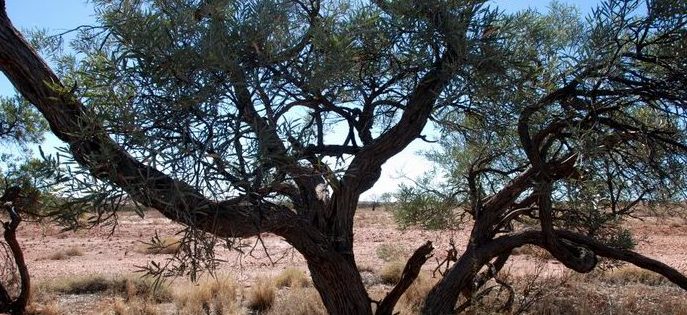
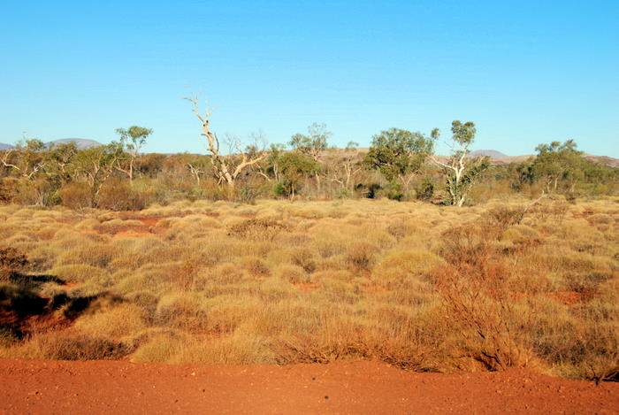
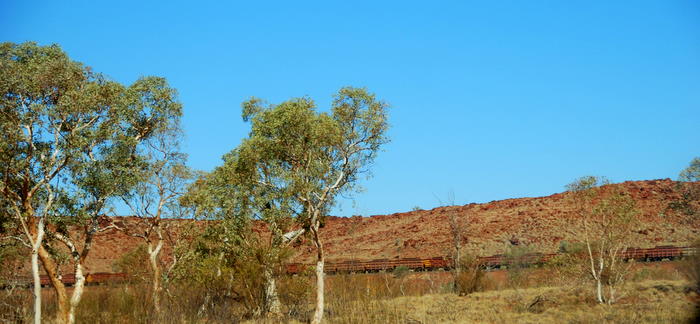
There was a marked change in the country as we moved into the Pilbara.
-
- On the way to Tom Price.
-

- Start of Pilbara country.
-
- Into the Pilbara.
-
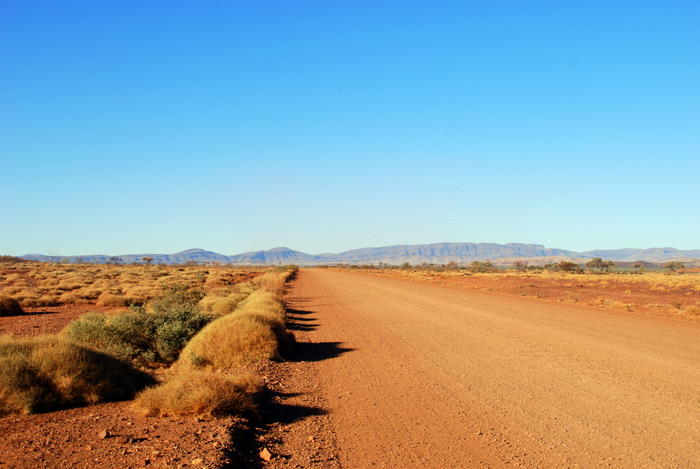
- Most of the roads are dirt.
-

- South-western end of the Hamersley Range.
-

- Unsealed roads were to become the norm.
Late in the afternoon I drove through a dip and the Patrol bottomed out. A short time later I felt the unmistakable signs of a flat.
-
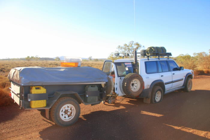
- First flat.
-
- Spinifex.
-

- Approaching vehicle.
-

- Getting the job done.
A surveyor stopped to help me change the wheel. On return to his vehicle he noticed he had a flat. I was able to return the favour and help him change his wheel.
-
- The Toyota had a flat.
-
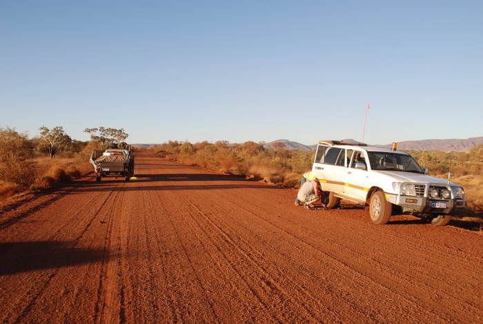
- Returned the favour.
-
- Late afternoon.
-
- Nearly ready to get underway again.
-
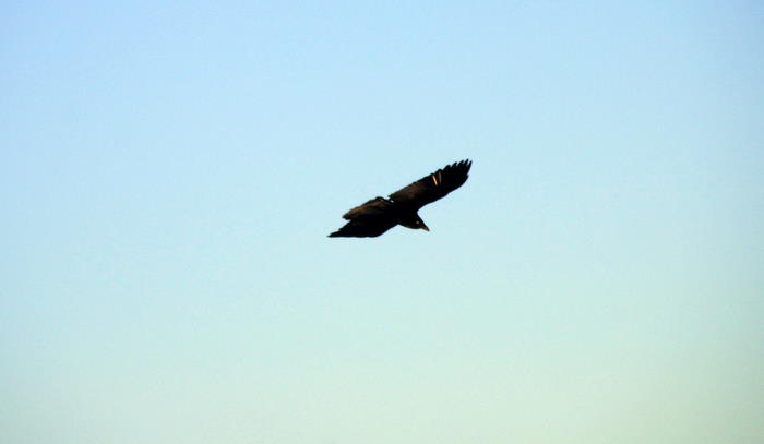
- Raptor.
-
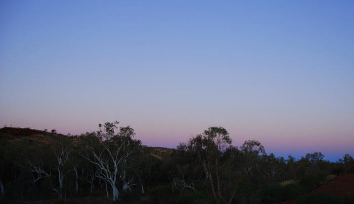
- Night approaching in the Pilbara.
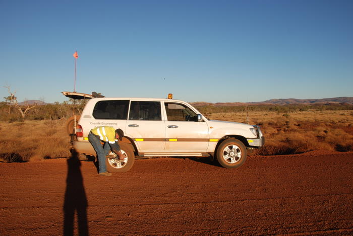
It was late afternoon by the time we got going again. Night fell when we were a few kilometres short of Tom Price. Again, the unmistakeable sounds of a flat. I stopped in a very inconvenient spot, got out, assessed the situation and drove on the deflated tyre for a few hundred metres to a safer (relative term), more level location. The tyre was cactus.
-
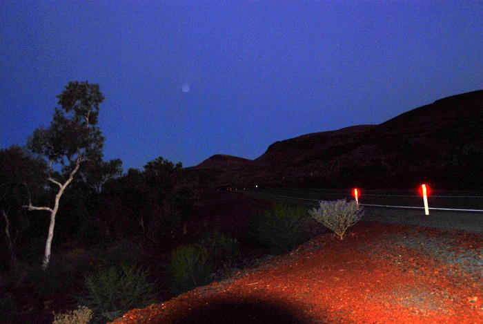
- Just outside of Tom Price.
-
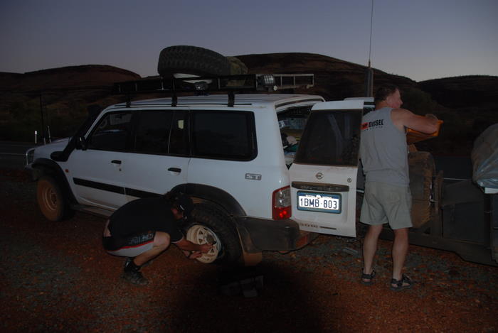
- A passerby stopped to help.
-
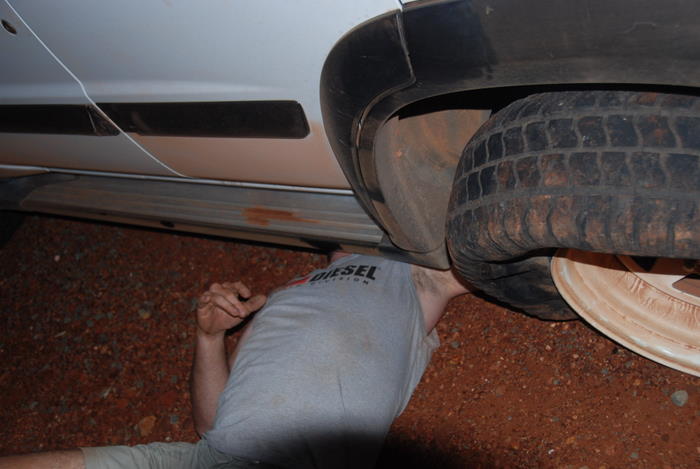
- Positioning the jack.
It was late in the evening before we got to Tom Price Caravan Park.
Day 6 Tom Price to Karijini
We woke up to a bright, sunny Pilbara morning and last night’s tribulations were forgotten.
-
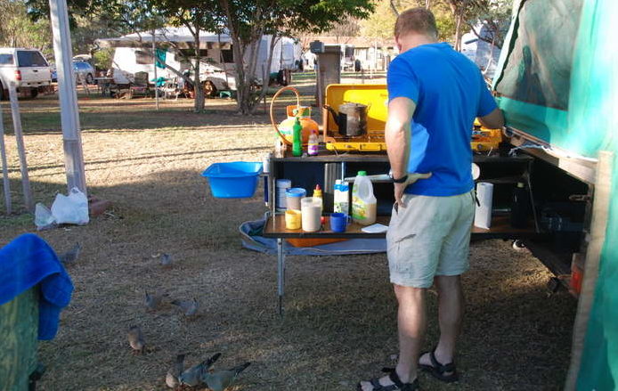
- Cooking breakfast
-
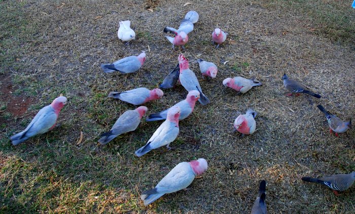
- Pink and grey galahs, with crested pigeons and a little corella.
-
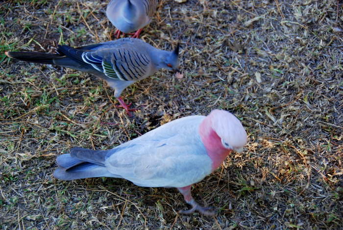
- Crested pigeons and a pink and grey galah.
-

- Gregarious birds
-
- Bird magnet
-
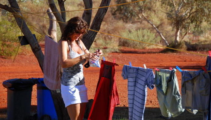
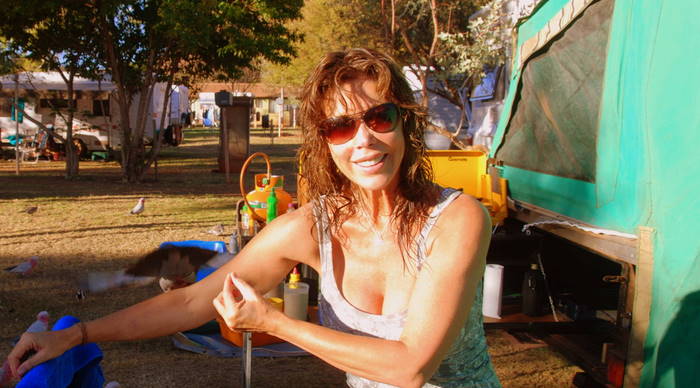
- Can’t escape the laundry.
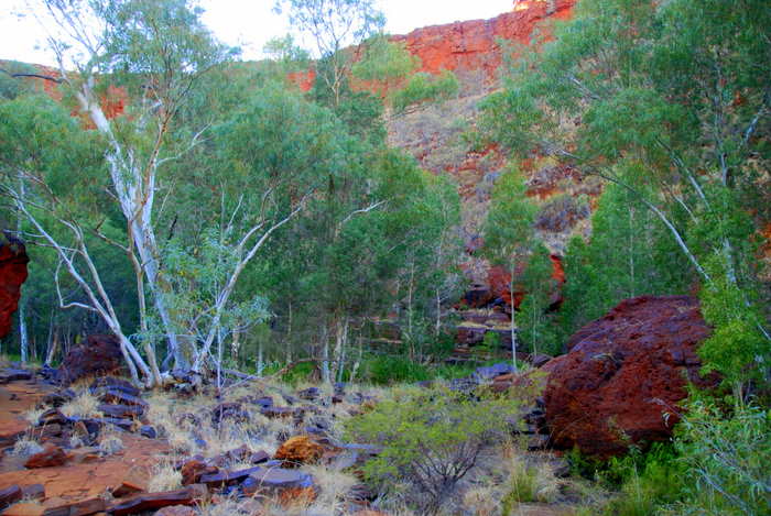
The Pilbara is a place where everything is on a giant scale but it also a place of spectacular beauty.
More than a quarter of the world’s known iron reserves are here. The mines are huge and they literally move mountains (Mount Goldsworthy has disappeared). The trains that take the valuable ore to ports are the longest in the world. The ships that transport the ore to its destination are gargantuan as are the ports that handle them. Everything about the Pilbara is big.
But this was not a ‘Pilbara Trip’ so we were just passing through – Karijini excepted. And it was time to see world famous Karijini National Park.
-
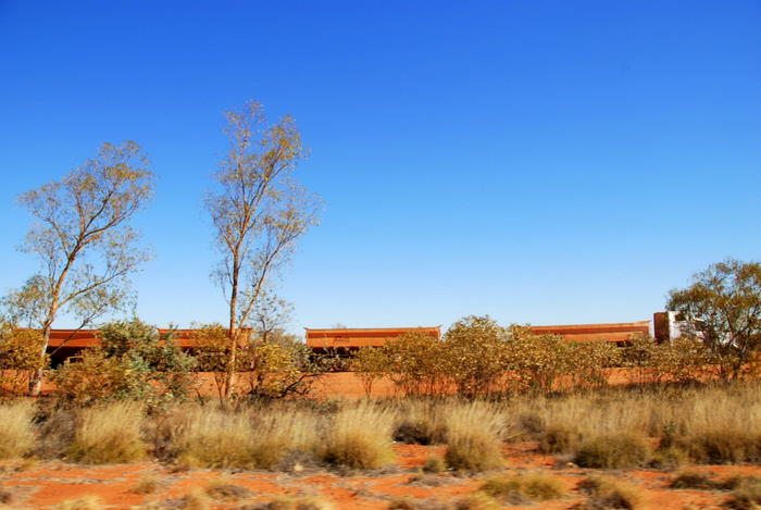
- Train taking the iron ore from Tom Price to the port of Dampier. An iron ore train consists of up to 236 wagons, each having a load capacity of up to 106 tonnes. Trains are up to 2.4 kilometres long and, fully loaded, weigh approximately 29,500 tonnes.
-
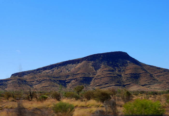
- The rugged Hamersley Range.
First stop was at the Visitor Centre.
-

- Visitor Centre

-
- Inside Karijini Visitor Centre
-

- Inside Karijini Visitor Centre
Covering 600,000+ hectares Karijini National Park in the Hamersley Range is Western Australia’s second largest park. Its climate is tropical semi-desert. A highly variable, mainly summer rainfall of 250–350 mm, often associated with thunderstorms and cyclones, is accompanied by temperatures frequently topping 40 degrees Celsius.
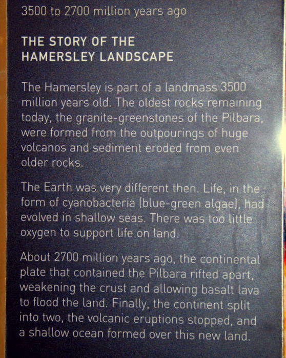
Its massive mountains, escarpments, gorges, and stony, tree-lined watercourses are over 2,500 million years old. This world class National Park is the most stunning in Australia.
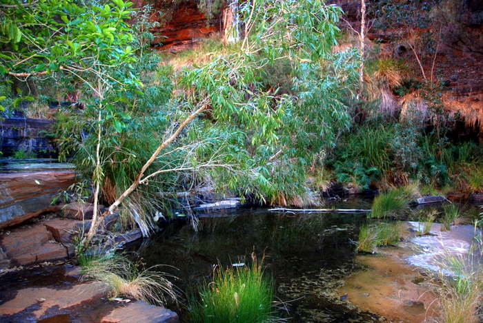
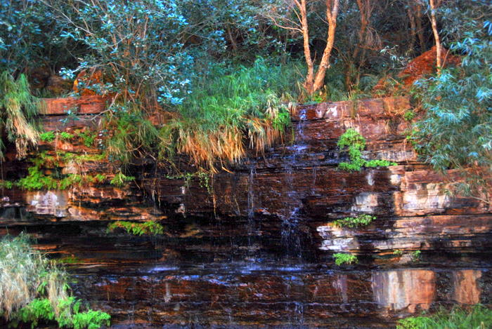
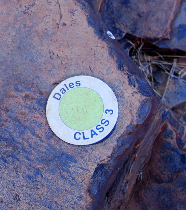
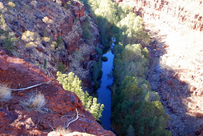
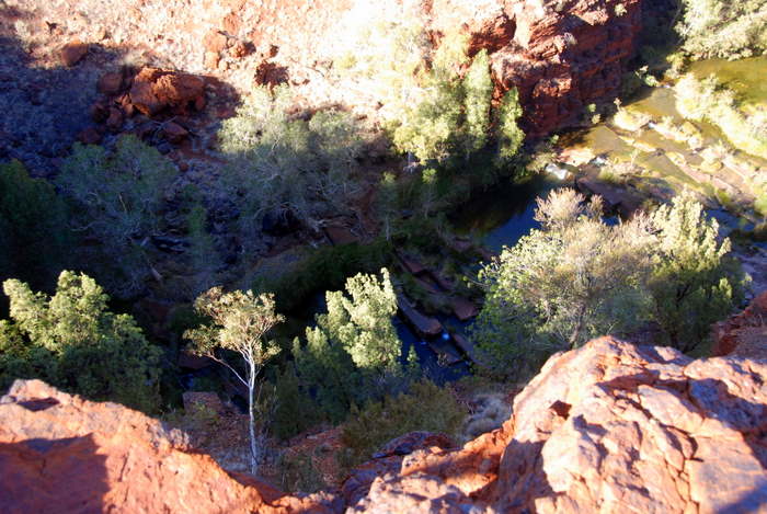
After we had set up camp we walked over to Dales Gorge – about 300 metres away. There was enough daylight to visit Fortescue Falls and Fern Pool. Dales Gorge was named in 1948 after a well sinker who worked on Mulga Downs Station.
-

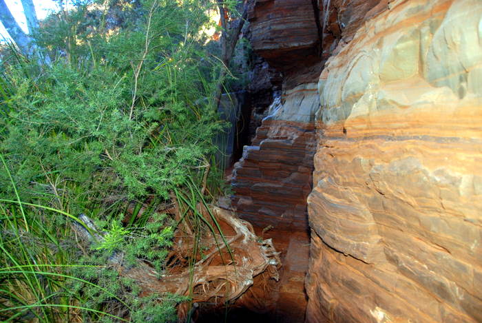
- Dales Gorge
-

- Fortescue Fall Track
-
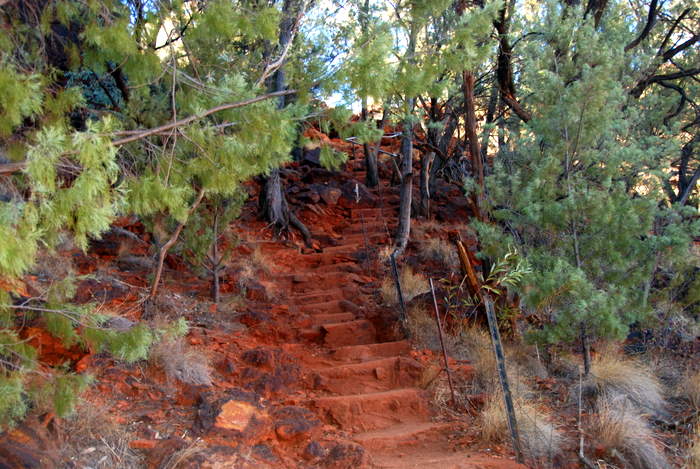
- Steps into Dales Gorge near Fortescue Falls
-

- Near Fortescue Falls
-

- Fortescue Falls
-

- At Fortescue Falls
-
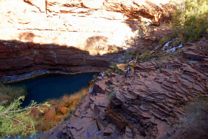
- Fortescue Falls
-
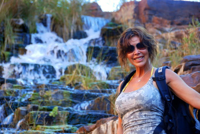
- Tammy at Fortescue Falls
-

- Dales Gorge
-

- From the floor of Dales Gorge
-
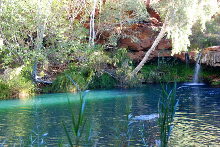
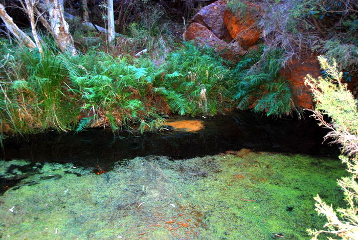
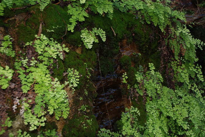
- Fern Pool
-

- Fern Pool
-
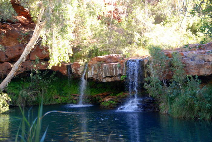
- Fern Pool
-
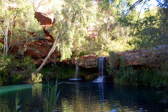
- Fern Pool
-

- On the floor of Dales Gorge near Fern Pool
-
- From our camp
Day 7 Karijini to South Hedland
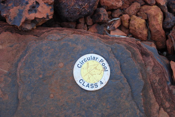
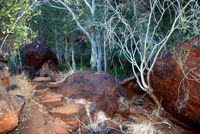
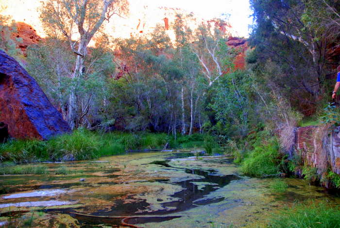
We started the day with a walk along Dales Gorge. The combined gorge rim walk and walk along the bottom of the gorge takes about two hours. We walked into Circular Pool at the eastern end of Dales Gorge.
-
- At the bottom of the gorge approaching Circular Pool.
-
- Track marker
-

- Heading to Circular Pool.
-
- Near Circular Pool.
-

- Near Circular Pool
-

- At Circular Pool.
-

- Approaching Circular Pool.
-
- At Circular Pool.
-

- At Circular Pool.
-
- At Circular Pool.
-

- Approaching Circular Pool
-

- At Circular Pool.
-
- At Circular Pool.
-
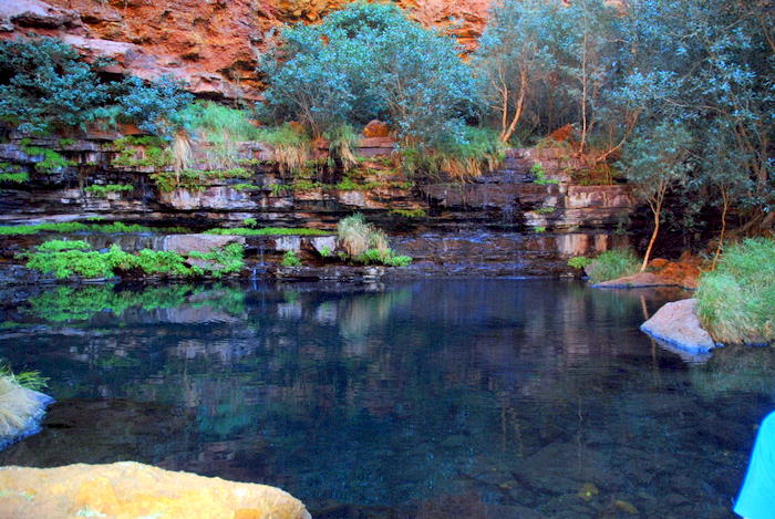
- At Circular Pool.
-
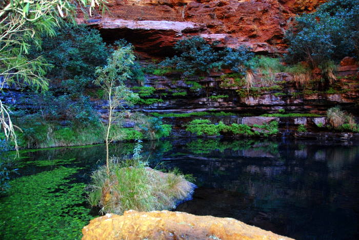
- At Circular Pool.
-

- Circular Pool
-
- Circular Pool
-

- At Circular Pool.
From Circular Pool we set out to walk the floor of the Gorge.
-
- In Dales Gorge.
-

- In Dales Gorge.
-

- In Dales Gorge.
-

- Tammy in Dales Gorge.
-

- In Dales Gorge.
-

- In Dales Gorge.
-
- Dales Gorge track marker
-
- In Dales Gorge.
-

- In Dales Gorge.
-

- In Dales Gorge.
-
- In Dales Gorge.

We did a section of the Gorge Rim Walk.
-
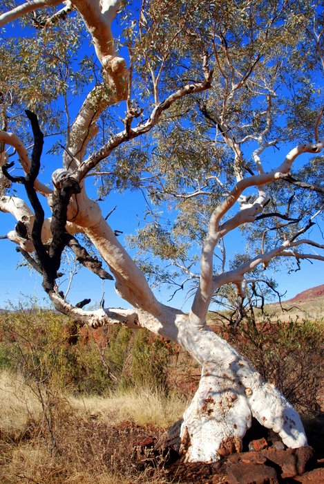
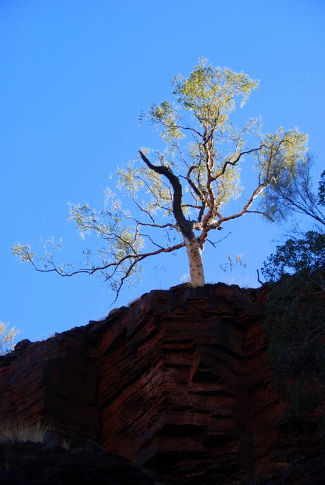
- A much photographed Snappy Gum (Eucalyptus leucophloia) on the Gorge Rim Walk.
-
- Dales Gorge Rim Walk
-
- Dales Gorge Rim Walk
-

- Dales Gorge Rim Walk
-

- Dales Gorge Rim Walk
It was time to leave Karijini and head further north. We drove out to the Great Northern Highway and refuelled at Auski Roadhouse. Highway 95 meets the North West Coastal Highway just south of Hedland.
-

- Outback Australia
-

- On their way to a minesite.
-
- Four trailer road train
-
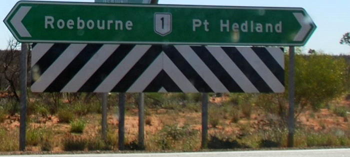
- Where Great Northern Highway meets the North West Coastal Highway – about 20 kilometres from South Hedland.
-
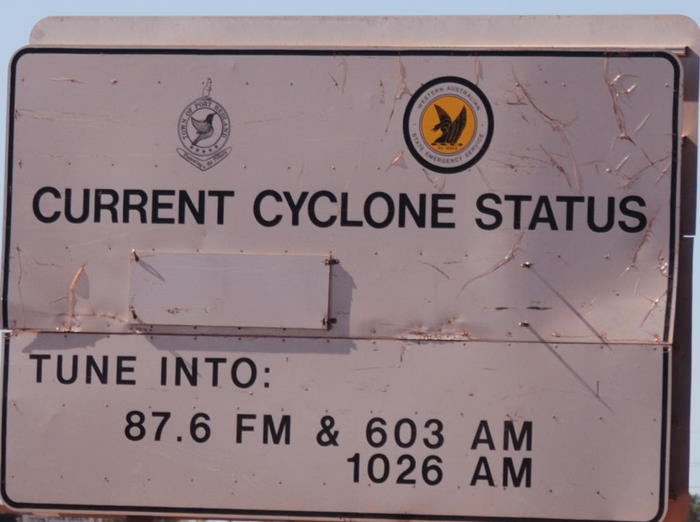
- Not cyclone season.
-
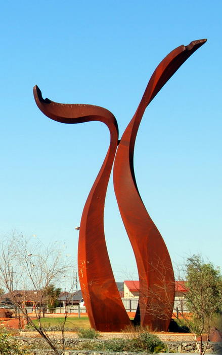
- Means something to somebody. South Hedland sculpture.
We found our overnight stop at the South Hedland Caravan Park.