
-

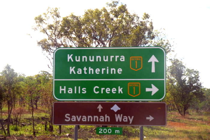
- Kununurra to Katherine
Day 15 Parry Creek Farm to Kununurra
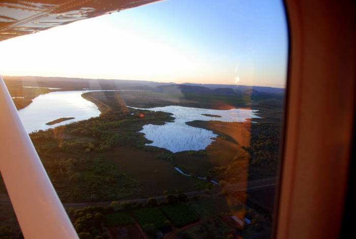
From our overnight stop to the regional centre of Kununurra it is only 90 kilometres – a short distance in this part of the world. Kununurra is the service town for the Ord River Irrigation Scheme. It has a population of around 7000 that rises to over 10,000 during the ‘dry’ season.
-
- Intersection of Great Northern Highway and Victoria Highway.
-
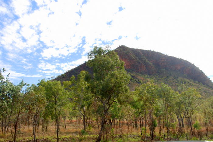
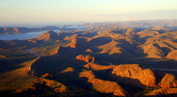
- Part of Deception Range.
-
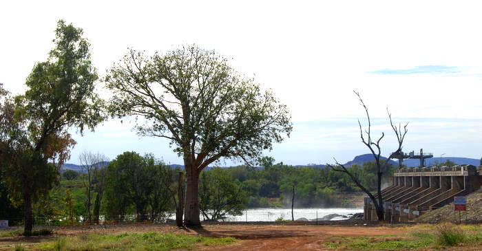
- The Diversion Dam at Kununurra.
-

- The Ord River below the Diversion Dam.
The Diversion Dam was built at Kununurra to divert and regulate the flow of water from the Ord River into the Ord River Irrigation Area. It holds back Lake Kununurra which in reality is the old (pre-damming) Ord River between the Diversion Dam and Argyle Dam, 55 kilometres further upriver.
-
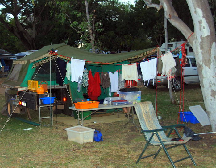
- Our camp beside Lily Creek Lagoon in Lake Kununurra.
-

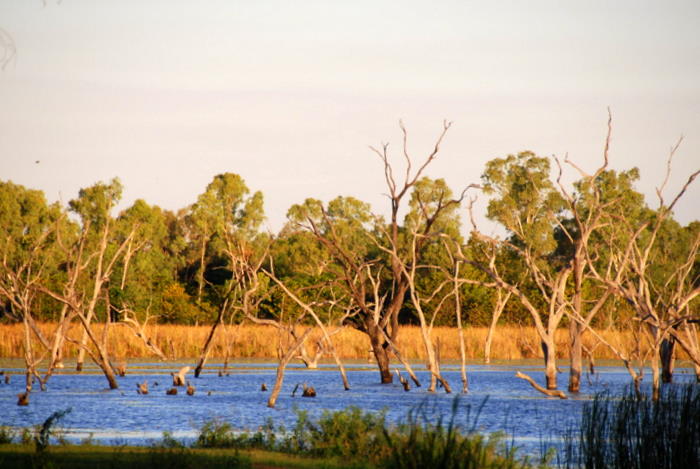
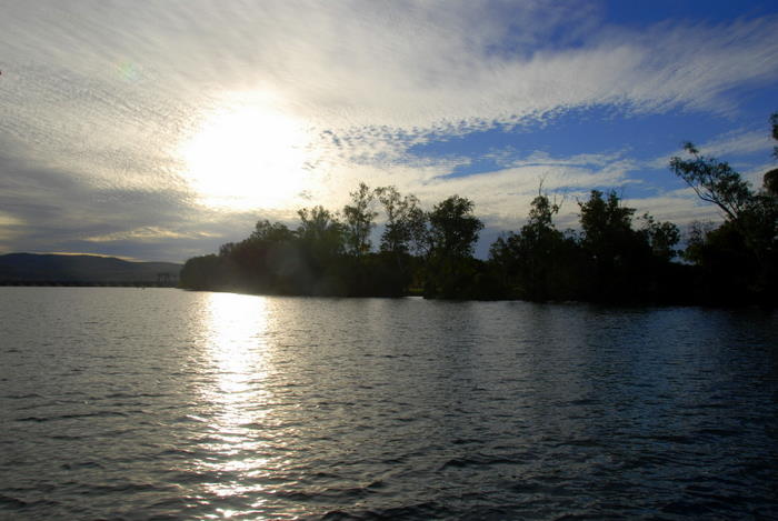
- Lake Kununurra
-
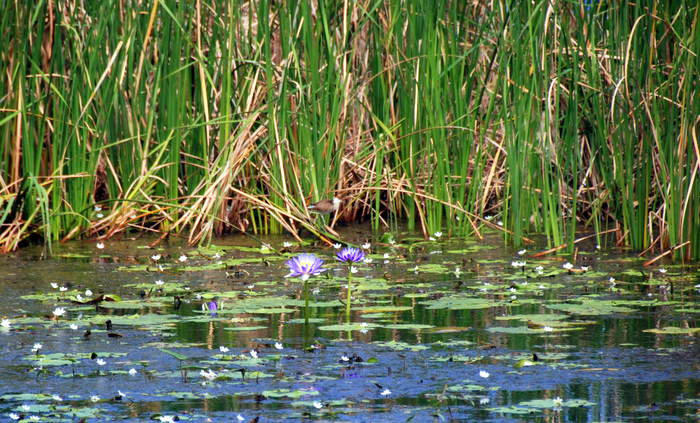
- Part of Lily Creek Lagoon.
-

- Heading out to Lake Kununurra.
-
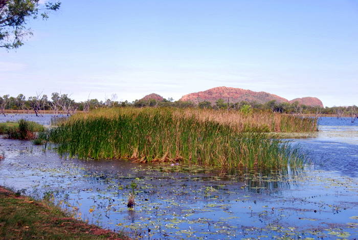
- Lily Creek Lagoon
-

- Comb Crested Jacana
-

- The comb-crested jacana (Irediparra gallinacea)
-

- also known as the lotusbird or lilytrotter,
-
- Sleeping Bhudda
-

- Straw Neck Ibis
-
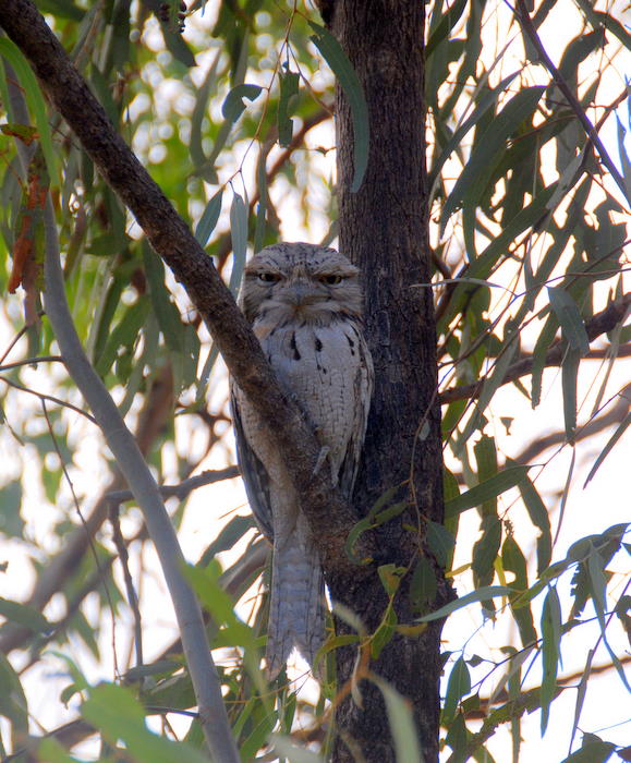
- Tawny Frogmouth at our campsite. Not to be confused with an owl.
-
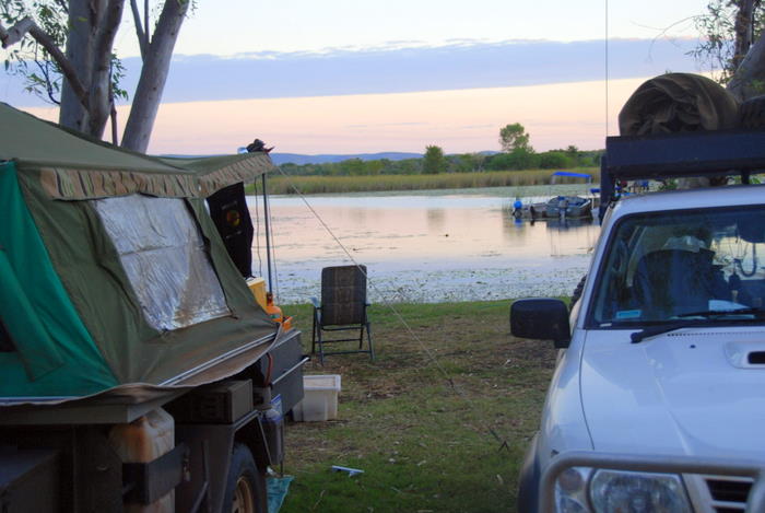
- Our camp by Lily Creek Lagoon.
-
- Our camp by Lily Creek Lagoon.
-

- Boat launch area at Lilly Creek Lagoon.
-
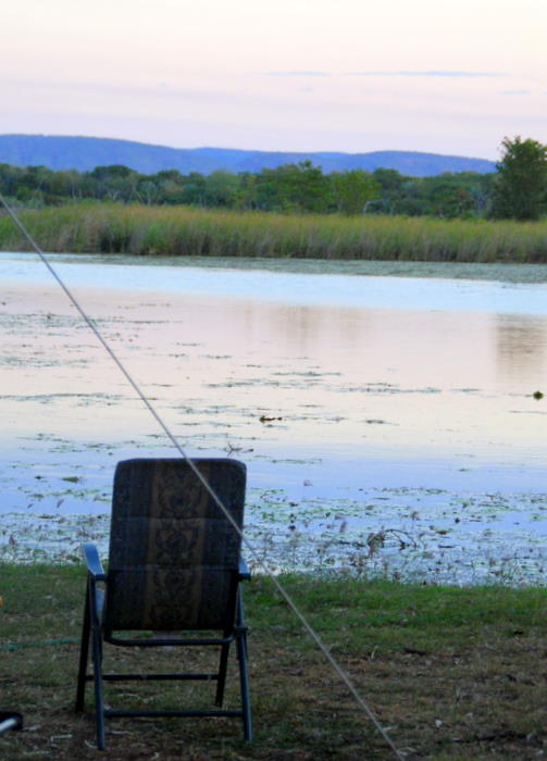
- Early evening Lilly Creek Lagoon.
-

- Early evening Lilly Creek Lagoon.
-
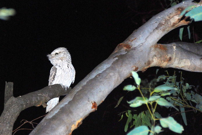
- Tawny Frogmouth
Day 16 In Kununurra
Today was one of the highlights of the trip – flight across Lake Argyle to the Bungle Bungles.
-
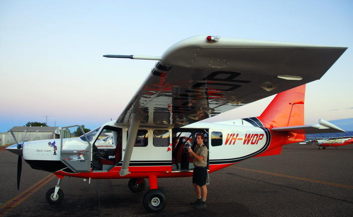
- Our pilot and plane.
-
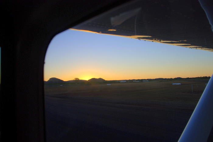
- Early morning takeoff.
-
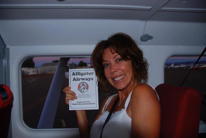
- Tammy’s excited.
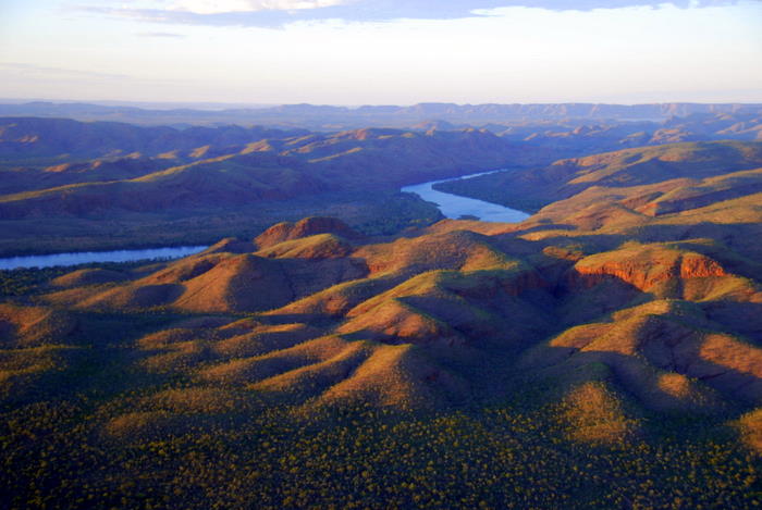
The flight from Kununurra followed the Ord River to Lake Argyle – the largest man made lake in Australia.
-
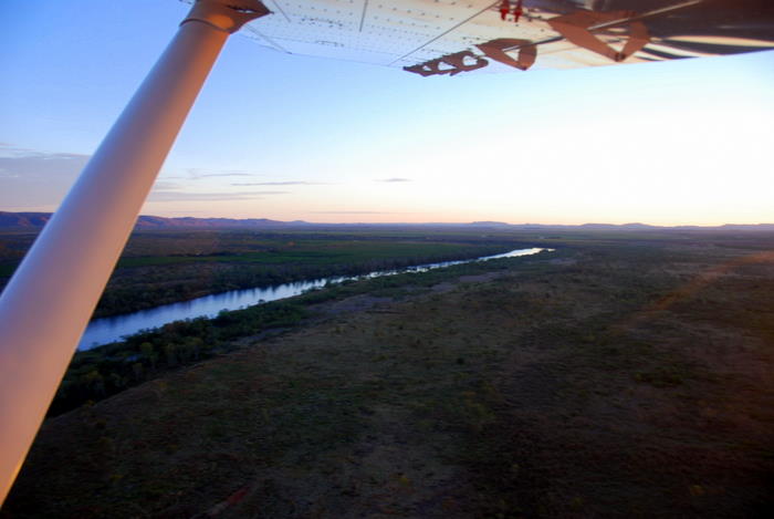
- Ord River
-
- Ord River
-
- Ord River
-

- Carr Boyd Range
-
- Approaching Lake Argyle.
-

- Ord River
-

- Ord River
The Bungle Bungles are about 190 kilometres south of Kununurra. We overflew the Ord River, Lake Argyle and Lissadell Station.
-
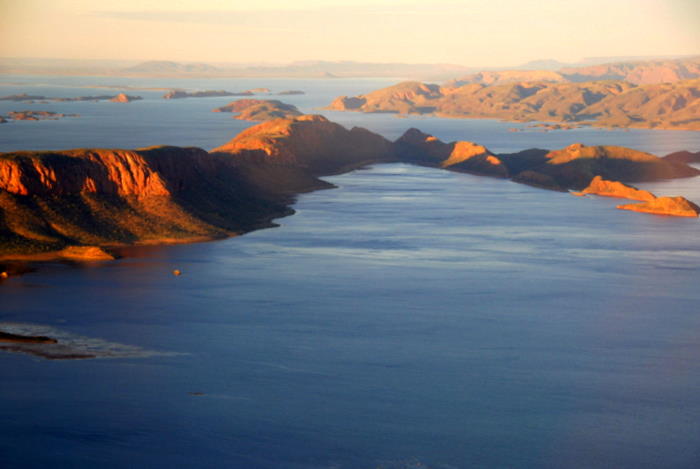
- Lake Argyle
-
- Approaching Lake Argyle.
-

- Lake Argyle
-
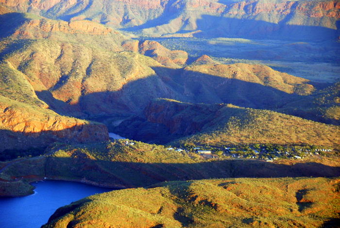
- Lake Argyle Village
-

- Lake Argyle
-

- Lissadell Station
-
- Lissadell Station
-

- Lissadell Station
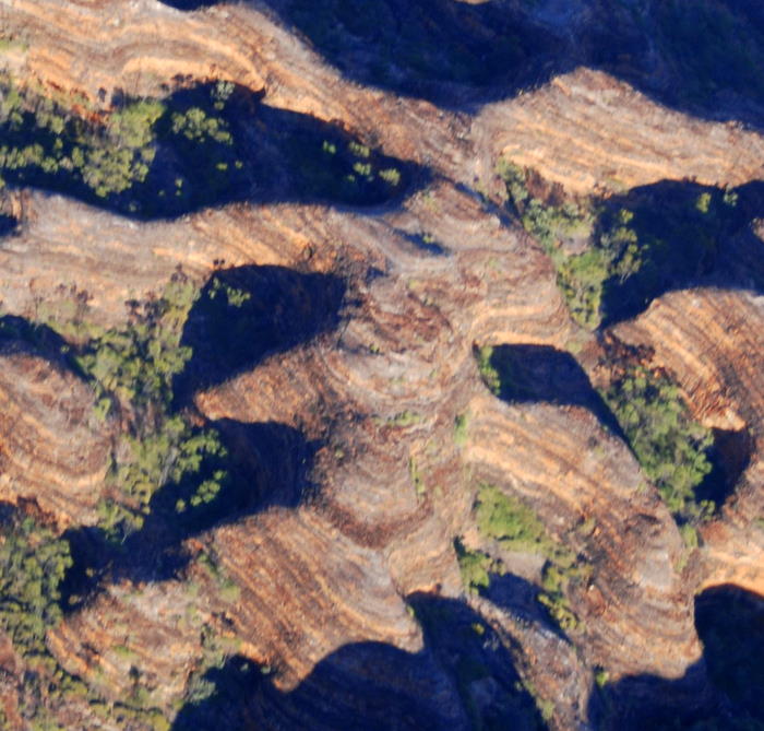
The orange and grey banding of the domes in the Bungle Bungle Range is due to differences in clay content, porosity of the sandstone layers and bacteria growing on the surface of sandstone.
-

- Aproaching the Bungles.
-

- Bungle Bungles
-
- Bungle Bungles
-

- Bungle Bungles
-

- Bungle Bungles
-
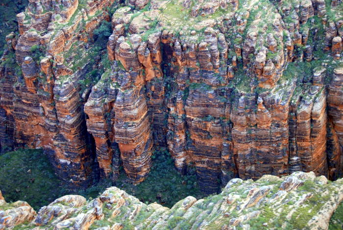
- Bungle Bungles
-
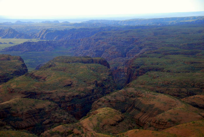
- Edge of the Bungle Bungle Range.
All too soon it was time to head back to Kununurra. We overflew the Argyle Diamond Mine.
-

- Argyle Diamond Mine
-
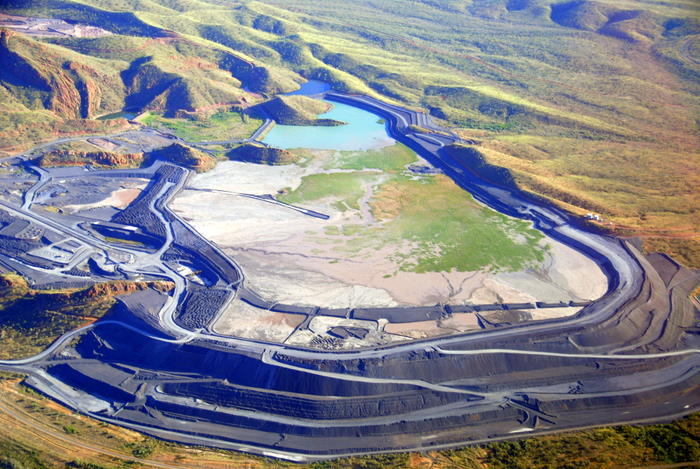
- Argyle Diamond Mine
-
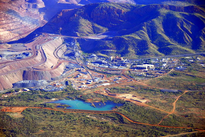
- Argyle Diamond Mine
-
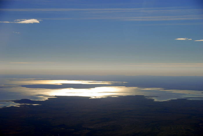
- Lake Argyle on the return.
-
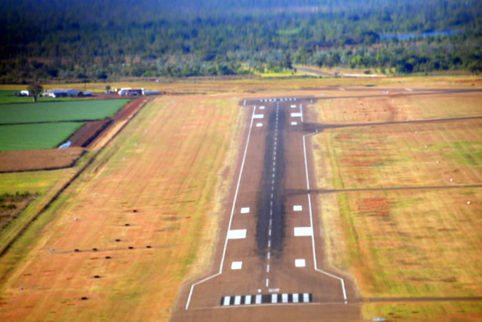
- Kununurra Airport
Back to our home by the water. People around the world pay millions for this glorious aspect.
-
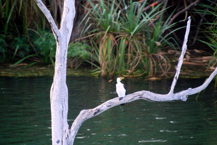
- Little Pied Cormorant
-

- Little Pied Cormorant
We joined the ‘BBQ Boat Cruise’. A good excuse for a pissup although, in the Kimberley, an excuse is rarely needed. We weren’t quite prepared but enjoyed the trip nonetheless.
-
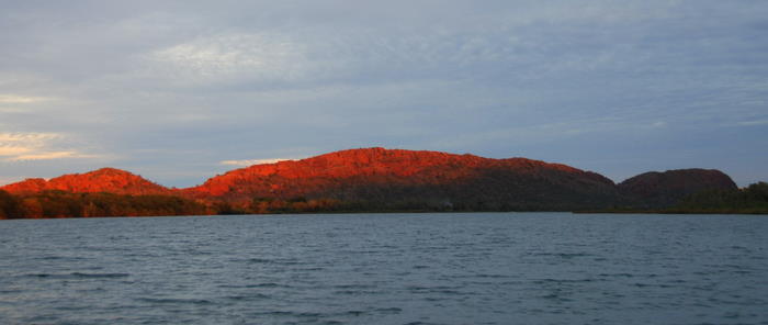
- Sleeping Bhudda
-
- Lake Kununurra
Tammy’s eye for what makes an unusual and beautiful photograph is remarkable.
-

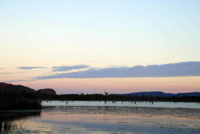
- Kununurra sunset
-

- In the Lagoon.
-
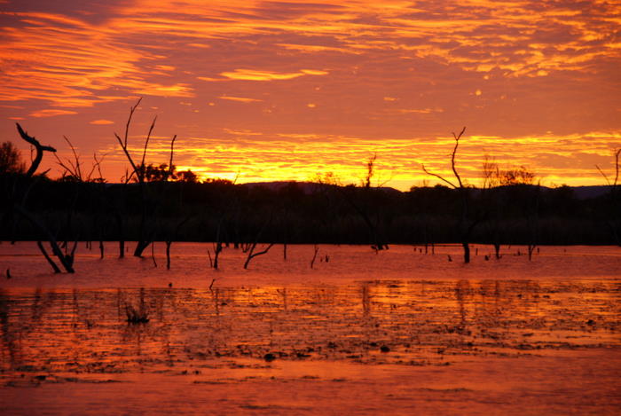
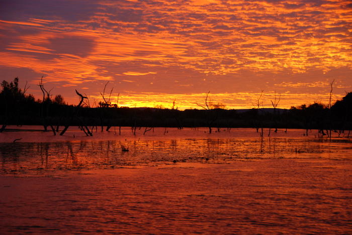
- Sunset over Lake Kununurra.
-

- In the Lagoon.
-
- In the Lagoon.
-

- In the Lagoon.
-

- On board BBQ.
Day 17 Kununurra to Katherine
-

- Grey Crowned Babbler
-
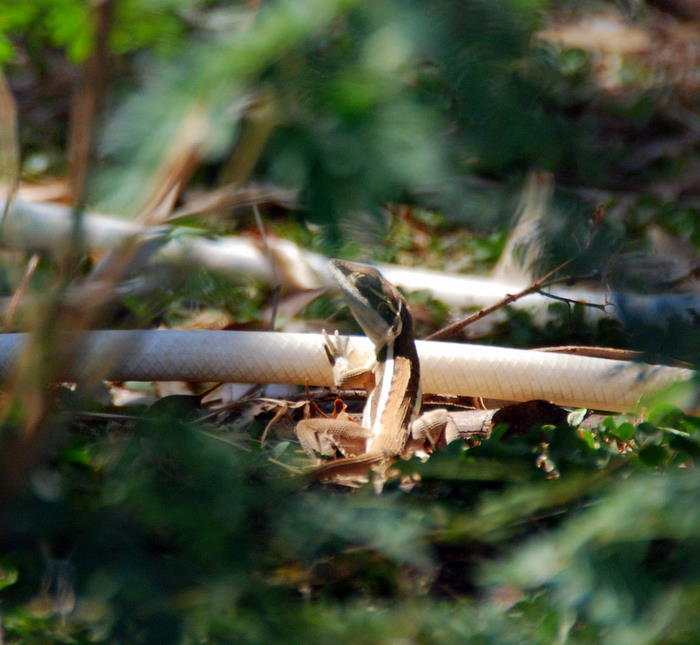
- Skink
-

- Skink
We left Kununurra (and Western Australia) heading to the Northern Territory. The ‘Territory’ – quintessential, iconic outback Australia. At 1421 million square kilometres it is more twice the size of Texas, more than three times the size of California and only a bit smaller than Alaska.
-

- On the Victoria Highway.
-

- Welcome
-
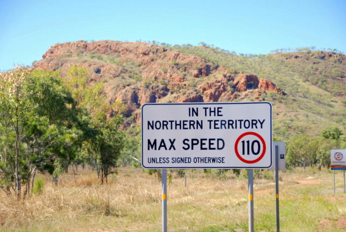
- Speed limit sign.
-
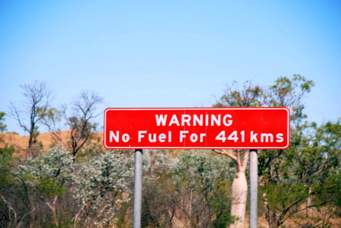
- No fuel.
-

- Victoria Highway
-

- Dingo
The first settlement in the NT, 190 kilometres from the border along the Victoria Highway, is Timber Creek. After explorer A.C. Gregory opened up the Victoria River area in the mid-nineteenth century it become an important pastoral region. Timber Creek developed as the river port for the surrounding cattle stations, including Victoria River Downs – at that time the largest pastoral enterprise in Australia. The river was used until the 1930s when road transport superseded it. Today, Timber Creek survives on tourism and as a service centre for surrounding stations.
-

- Timber Creek
-

- Timber Creek
-
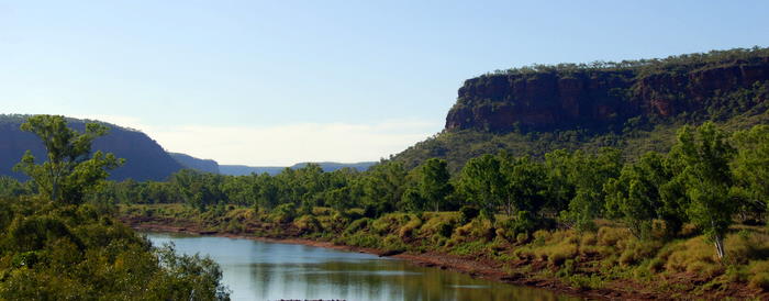
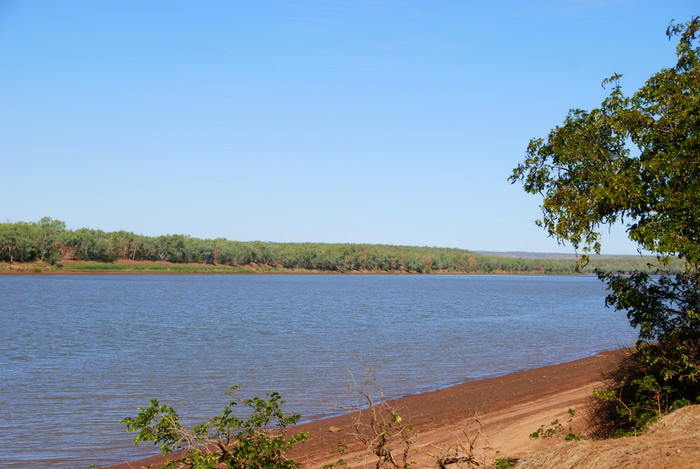
- Victoria River at Timber Creek.
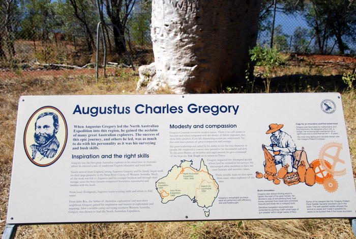
A few kilometres out of Timber Creek, Gregory National Park honours one of Australia’s greatest explorers – Augustus Charles Gregory. His eight month 1855-56 Northern Australian Expedition finally proved that there was no ‘Inland Sea’.
In crossing the continent to the east coast (largely following the ill fated Ludwig Leichhardt’s route) the expedition explored 8,000 kilometres of country, including the Elsey, Roper, Macarthur and Leichhardt Rivers. Gregory’s management of the expedition was considered excellent.
-

- An important historical National Park.
-

- Boab tree at Gregory’s camp.
-

- Monument to Gregory.
-

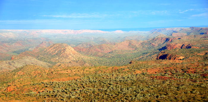
- Open savannah country.
-
- The Victoria River provides Timber Creek with an outlet to the Timor Sea.
A large boab tree (Adansonia gregorii) at Gregory’s camp on the bank on the Victoria River was inscribed with the arrival date and departure date of the expedition.
-

- Date on tree.


-

- The story of
-
- A.C. Gregory
We continued east across the savannah. Fire is very much a part of the Top End environment. Fire management practices create a mosaic of burnt and unburnt land. This practice of ‘controlled burns’ mimics traditional aboriginal ‘fire stick farming’ wisdom that established patterns to help provide food and manage the land.
-

- A ‘controlled burn’.
-
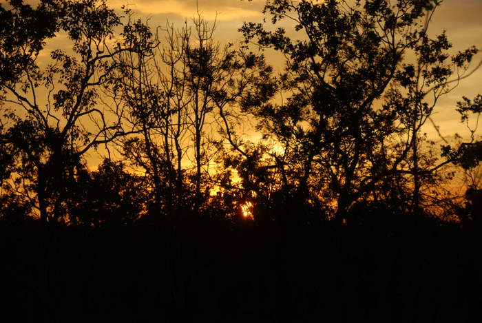
- Smoke at sunset.
We stayed the night at Katherine, the ‘Crossroads of the North’. With a population in excess of 10,000 it is the fourth largest town in the Territory. Located on the Stuart Highway it is an important transport centre, a service town for surrounding pastoral and mining enterprises, and a flourishing tourism hub.
Go to Part 7 – Kakadu