
A magnificent beach where the Pallinup River meets the Southern Ocean. The substantial bar between the river and ocean means that the river rarely debouches into the sea.
-
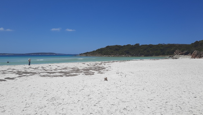
- Southern end of Pallinup Beach.
-

- Checking tyre pressure after arriving on the beach. Fishermen’s shack on the foredunes
The water behind the bar is often referred to as Pallinup Estuary although its official name is Beaufort Inlet (named after the British Navy Admiral who devised the Beaufort Wind Scale).
-

- The bar separating Beaufort Inlet from the Southern Ocean.
-

- On the bar.
-

- Parked on the bar. The water in the background is Beaufort Inlet.
-

- Pallinup River’s Beaufort Inlet.
Pallinup Beach (WA Beach 326) is east facing (and therefore somewhat protected) and extends about 200 metres north-east from the northern exit/access track to about 300 metres south past where Pallinup Road provides access – a length of about 2.2 kilometres.
-

- Sunbathers on Pallinup Beach.
-

- Driving on Pallinup Beach.
-

- Towards the southern end of the beach
-

- Pallinup Beach.
A 22 km track leads from Pallinup Beach to Borden Bremer Bay Road. The approach to the exit track from the beach is soft, making the task more difficult that it looks.
-

- Warren drives in Pajero Sports off the beach.
-

- Dan takes his Prado off Pallinup Beach.
Once off the beach the track presents a few challenges before opening out.
-

- This gutter/washaway extends for several hundred metres, requiring diversions left and right.
-

- Not much left of the original track.
-

- One of several rock gardens.
-

- This rock garden extends for about 200 metres.
© Kim Epton 2023-2024
293 words, 16 photographs.
Photographs
Dan Wales
Warren Peers
Kim Epton
Feel free to use any part of this document but please do the right thing and give attribution to adventures.net.au. It will enhance the SEO of your website/blog and Adventures.
See Terms of Use.