Our planned Mid West Road Trip for the 2015 easter break was to take us through Jingemia Cave, Yarra Yarra Lake, Mingenew, Geraldton, Northampton, Binnu and then follow the Murchison River through Riverside, Coolcalalaya, Yallalong, Billabalong, Wooleen, and Meeberie stations.
We intended to continue east to Mt Wittenoom Station and on to Meka and Dalgaranga before visiting the Dalgaranga Meteorite Crater. After checking out the crater we were to head south to Yalgoo, walk through Jokers Tunnel and visit the old Rothsay mining area. Next was the Damperwah Experimental State Farm ruins, John Forrest Lookout, Camel Soak and Mongers Lake lookout. We then intended to head south along the western edge of Lake Moore before once again turning east to Billiburning, Elachbutting, and Berringbooding rocks. On the way home we were going to visit Billyacatting Rock, Wattoning Well and Namelcatchem Well.
As Robbie Burns observed, ‘the best laid schemes o’ mice an’ men gang aft agley’.
Heavy rains in the Murchison caused an early change to this intended route. Coolcalalaya Road (along the Murchison River) was closed so we elected to head north via the Carnarvon Mullewa Road. That road reopened on Wednesday but accessing Murchison Roadhouse for required fuel was a moot point because the river at the Meeberie Crossing was at 1.8 metres, blocking our way east to Mt Wittenoom station and beyond.
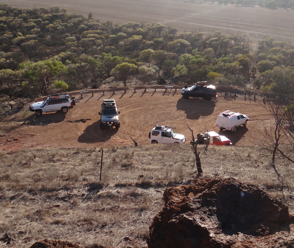
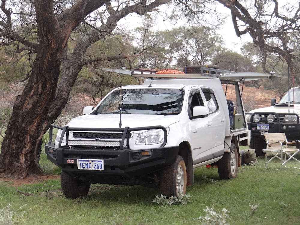
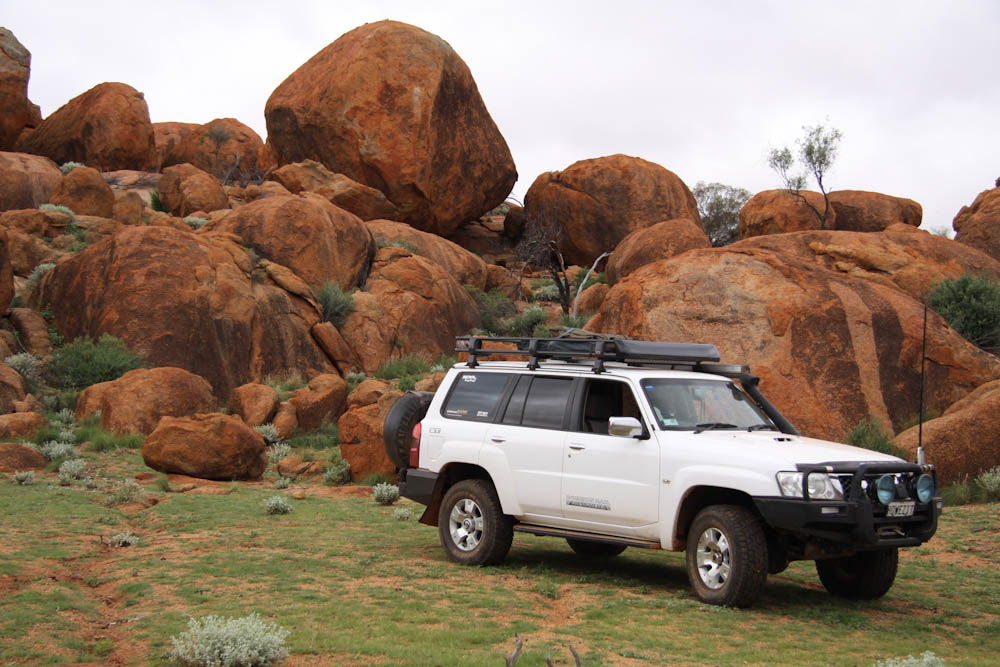
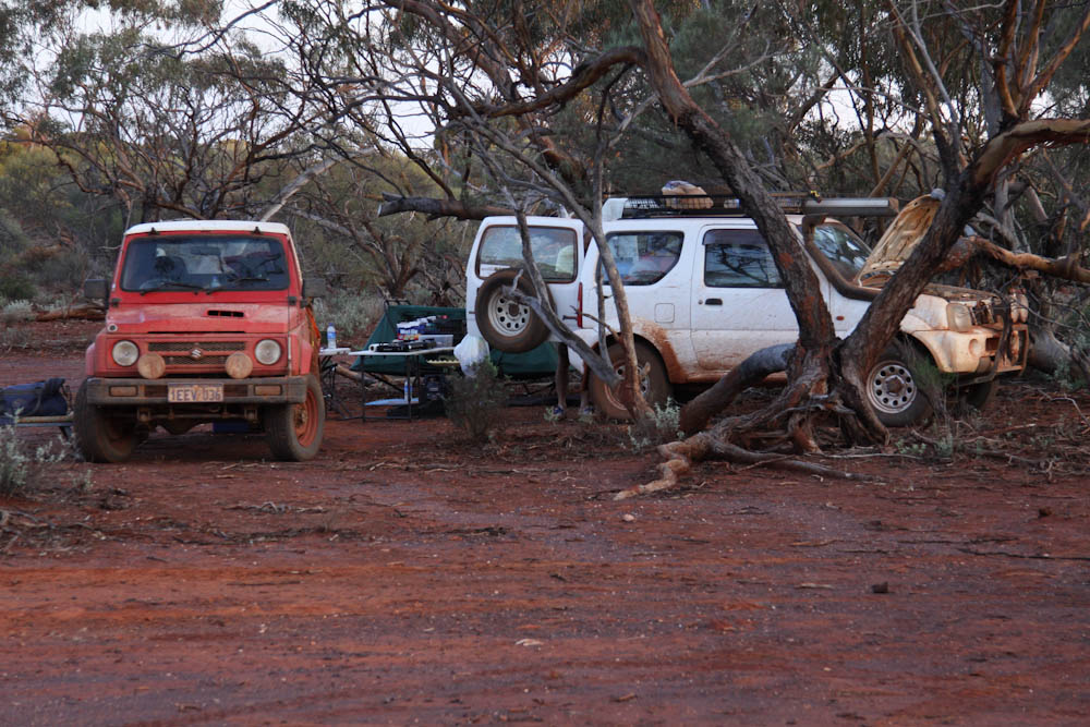
We rendezvoused at Mingenew. Aaron and Kim were in Aaron’s dual cab Holden Colorado, Cliff was driving a long wheel base Suzuki Sierra, Greg was in a Suzuki Jimny, Paul and Lauren were in Paul’s dual cab Nissan Navara, Matt was driving his recently acquired 4.2 L Nissan Patrol wagon and Graham was in his 3.0 L Nissan Patrol wagon.
-

- Paul’s 2.5 L diesel dual cab Nissan Navara
-

- Greg’s Suzuki Jimny
-

- Graham’s 3.0 L GU Patrol Wagon
-

- Aaron’s dual cab diesel Colorado with Bull body
-

- Matt’s 4.2 L turbo GU Patrol Wagon
-
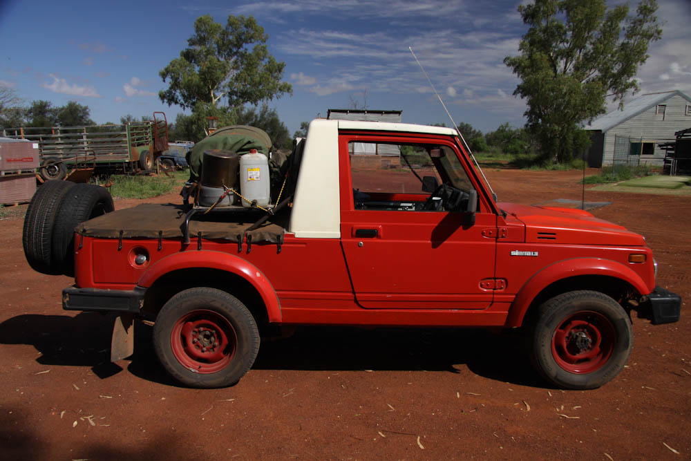
- Cliff’s LWB, wide track Sierra with a high performance twin cam engine
The engines were hardly warm before we stopped at Mingenew Hill for an early morning climb and some great views. The hill is well signposted off the Mullewa Road.
-
- Kim, Graham and Matt at the top of Mingenew Hill.
-
- View from the top of Mingenew Hill.
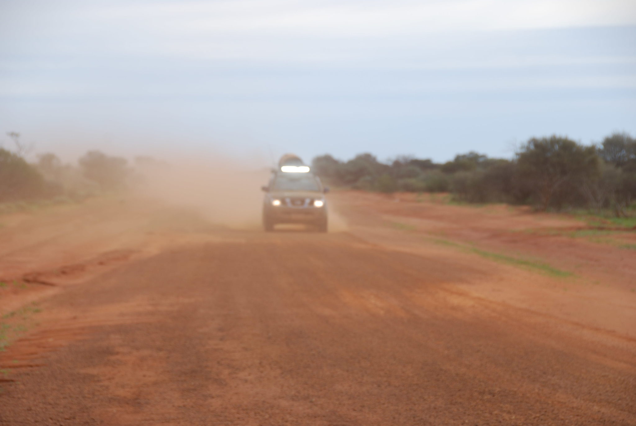
The early morning drive north through farm country that transitions into station country, though pleasant enough, had little to offer. When you’ve got nothing to offer, anything is something – then we saw the signpost to Butterabby Graves.
-
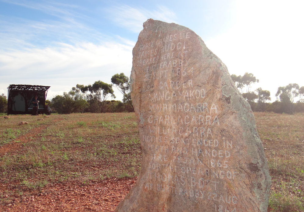
- Butterabby Graves site.
-
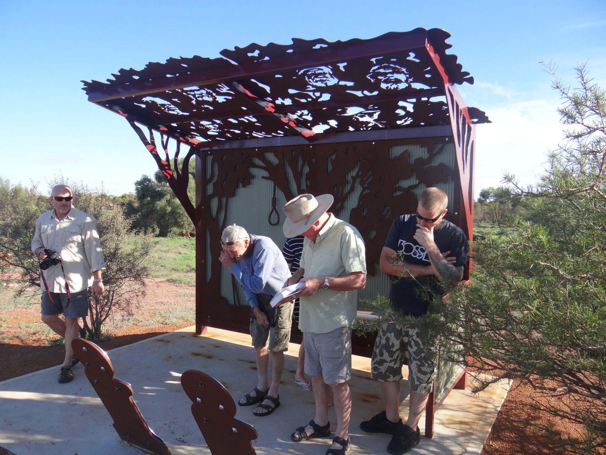
- Graham, Cliff, Kim and Paul at Butterabby Graves plaque.
-

- Cliff and Kim look on while Greg refuels.
-
- Working mill in a creek.
-

- Matt checks out the still-functioning mill.
Fuel availability was to be an important consideration throughout the tour and the first problem arose at Mullewa. No fuel stations were open (as expected on Good Friday) but there were no card operated 24/7 outlets either. Fortunately Paul was able to purchase some fuel later at a pastoral station.
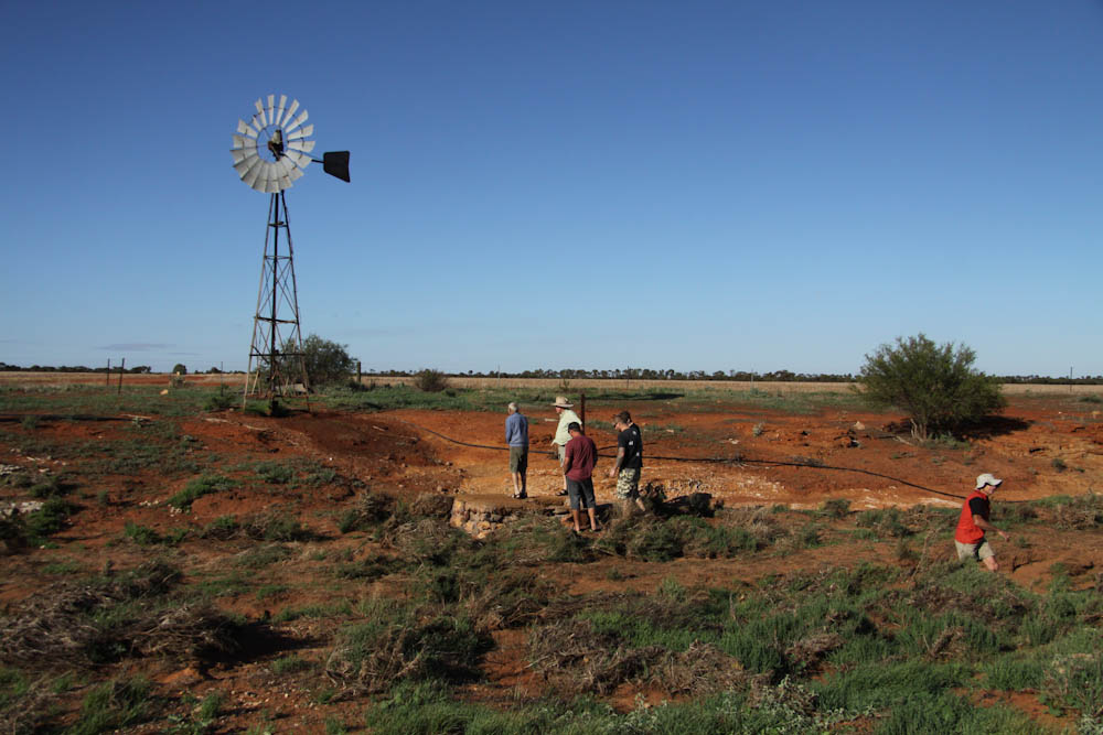
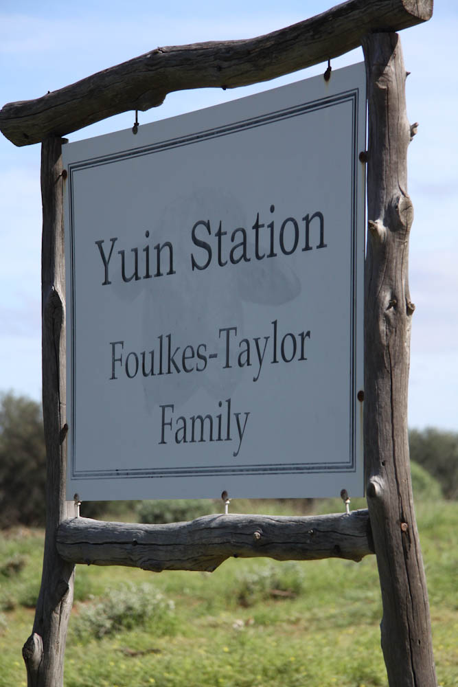
Next stop out of Mullewa was Yuin where we were welcomed by Rosco and Emma Foulkes-Taylor. The importance of a courtesy call to station folk to let them know your intentions cannot be overestimated.
-
- At the entrance to the homestead
-

- Rosco Foulkes-Taylor
-

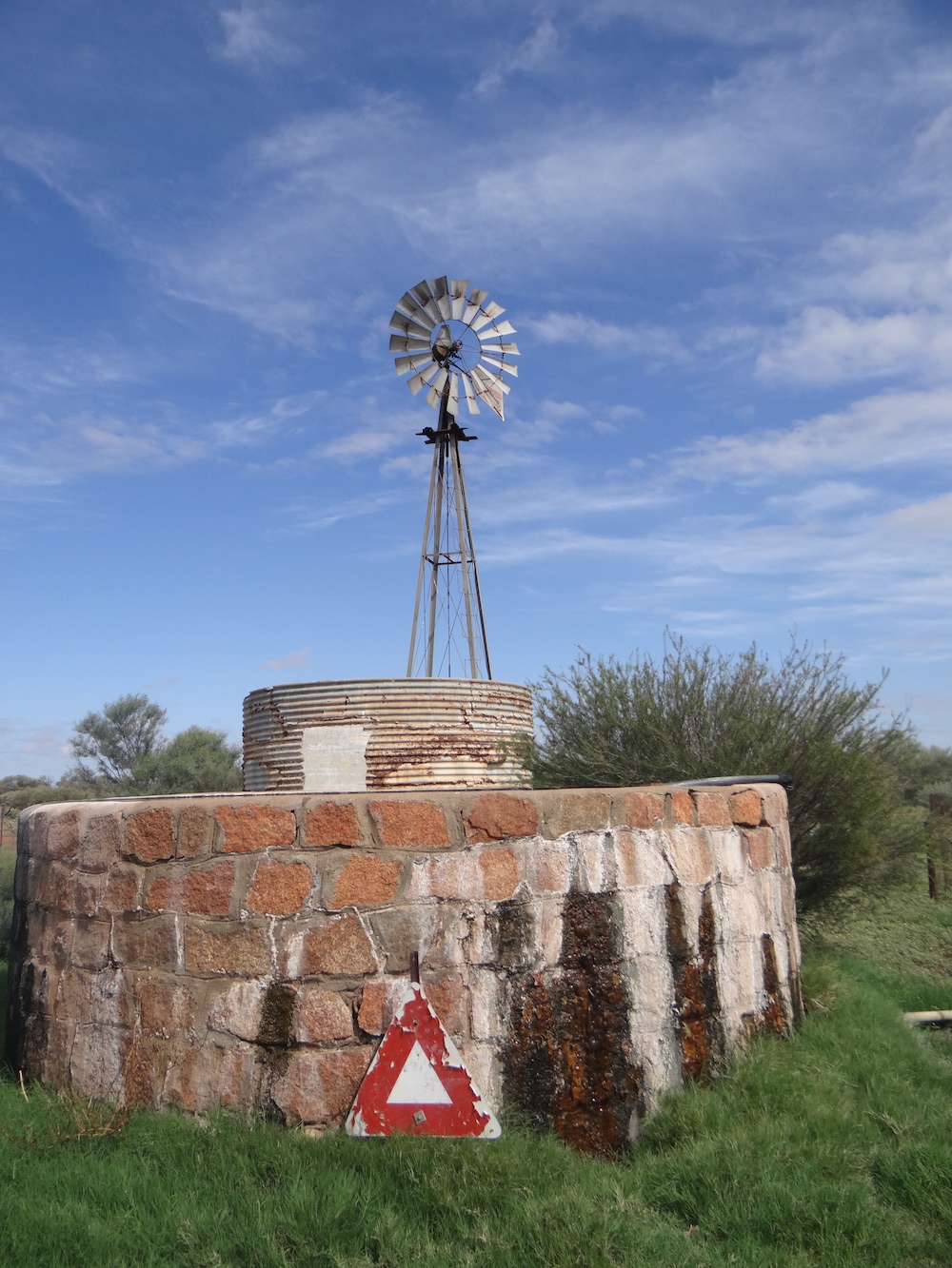
- Goat catching yard at the mill.
-

- Catching yard.
-

- Abandoned Yuin Reef mining area.
-

- Near Yuin Station.
-
- Well near the catching yard.
-
- Well fed.
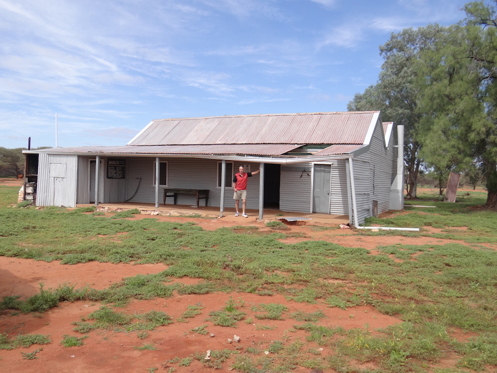
We stopped at Narloo Station on the way to Poondarrie Hills. The now abandoned homestead on Department of Parks and Wildlife (DPaW) property is being renovated by Trackcare. It still needs a lot of work. The dunny is the best maintained building on the property.
-

- Trackcare is renovating the homestead.
-
- A lot of work is still required.
-
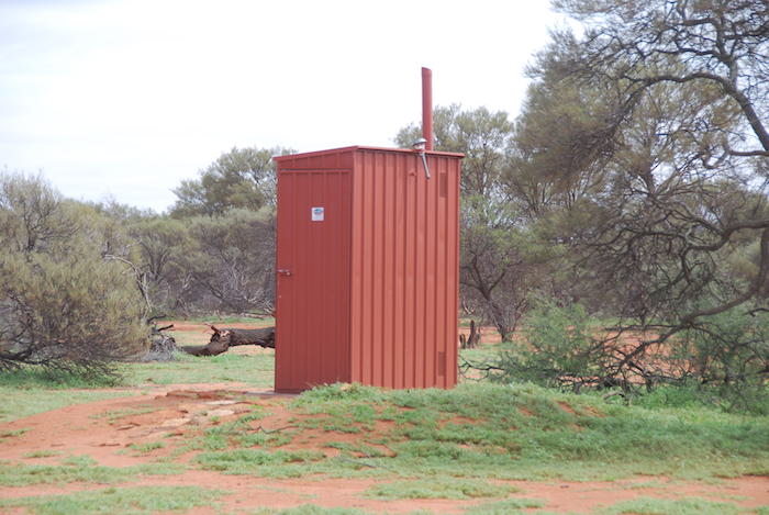
- The best maintained building on Narloo Station.
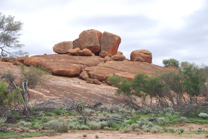
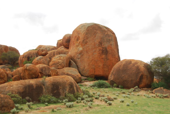
The recent rains had greened up Poondarrie. It was looking a treat. A wonderful picnic/lunch spot.
-
- Greg and Matt driving to Telstra tower.
-
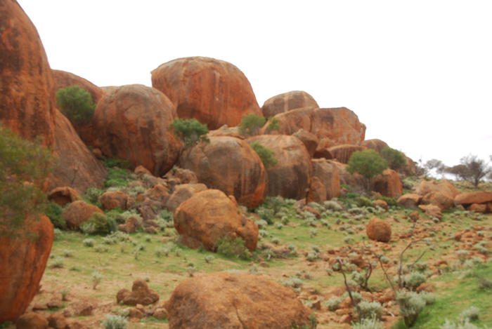
- Rocks at Poondarrie.
-

- The Poondarrie Marbles.
-

- Poondarrie
-

- Poondarrie Marbles.
-
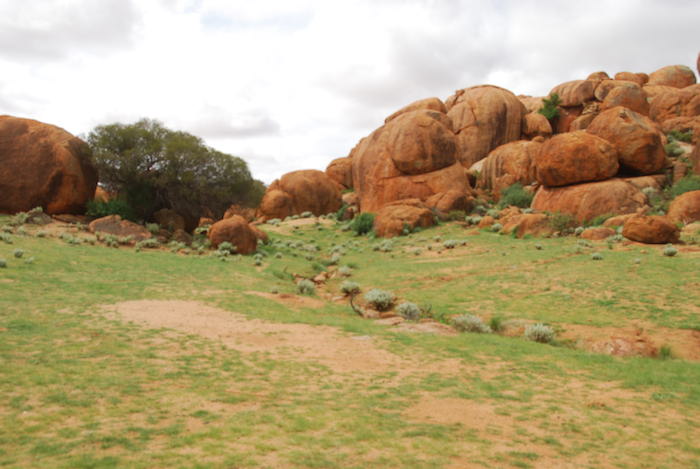
- Poondarrie is a popular picnic spot.
-
- Poondarrie Hills
-

- Lunch spot at Poondarrie.
-
- Interesting shaped rocks at Poondarrie.
-

- At Poondarrie Hills.
-

- Poondarrie
-

- Lunchspot at Poondarrie.
Telstra has installed a phone tower on the top of Poondarrie Hill – against all advice from the locals. A track into the rock was graded by the telco for construction access. The track now turns into a quagmire whenever it rains. Somebody in a office somewhere looked at map and decided that Poondarrie Hill was the only suitable location and that was it – despite local advice of a number of other, better locations nearby.
-

- Matt’s Patrol.
-

- Matt, Kim and Graham.
-
- Aaron’s Colorado.
-
- Repairs to fan on Greg’s Jimny.
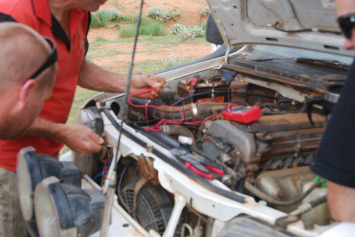
The thermofan on Greg’s Jimny wasn’t working and the vehicle was overheating at low speeds. A few minutes work by the bush mechanics resolved the issue.
-
- Gutter from recent rains at Poondarrie.
-
- Graham’s Patrol at Poondarrie Hills.
On return to Narloo we decided to take a direct route to Tardie. Water lay over the track at numerous locations and the upper Greenough River was flowing – slowly.
-
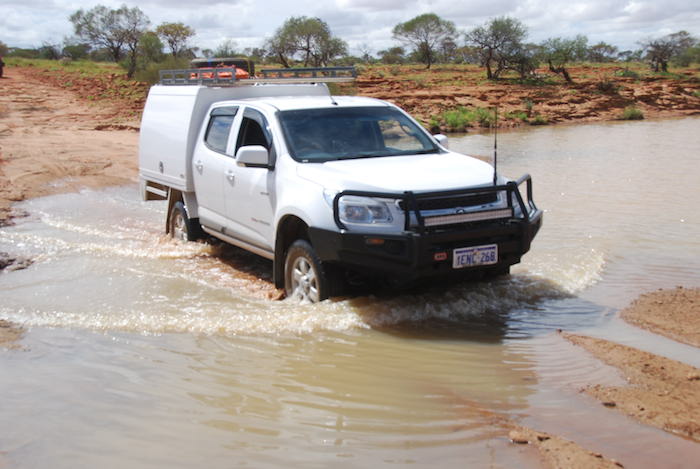
- Aaron takes his Colorado across the Greenough River.
-

- Paul and Lauren cross the Greenough River in his Navara.
-

- Graham crossing the Greenough River in his Patrol.
After a few more creeks and gutters we arrived at the homestead – again, expected.
The usual way to Jingemarra is south via Gabyon but after discussion with the wonderful people at Tardie we headed back the way we had come for 10 kilometres and followed the Greenough north-east. The track disappeared between the Narloo-Tardie track and Poothea Pool. We swept left and right through reasonably open acacia country, while keeping our general heading, searching for the track and, after a few hundred anxious metres, picked it up just before the Pool.
-

- Cliff drives his Sierra through Poothea Pool on the upper Greenough River.
-

- Greg and his Jimny cross Poothea Pool.
-

- Matt and his Patrol at Poothea Pool.
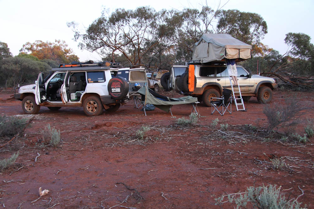
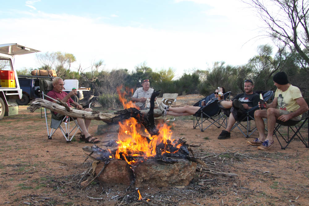
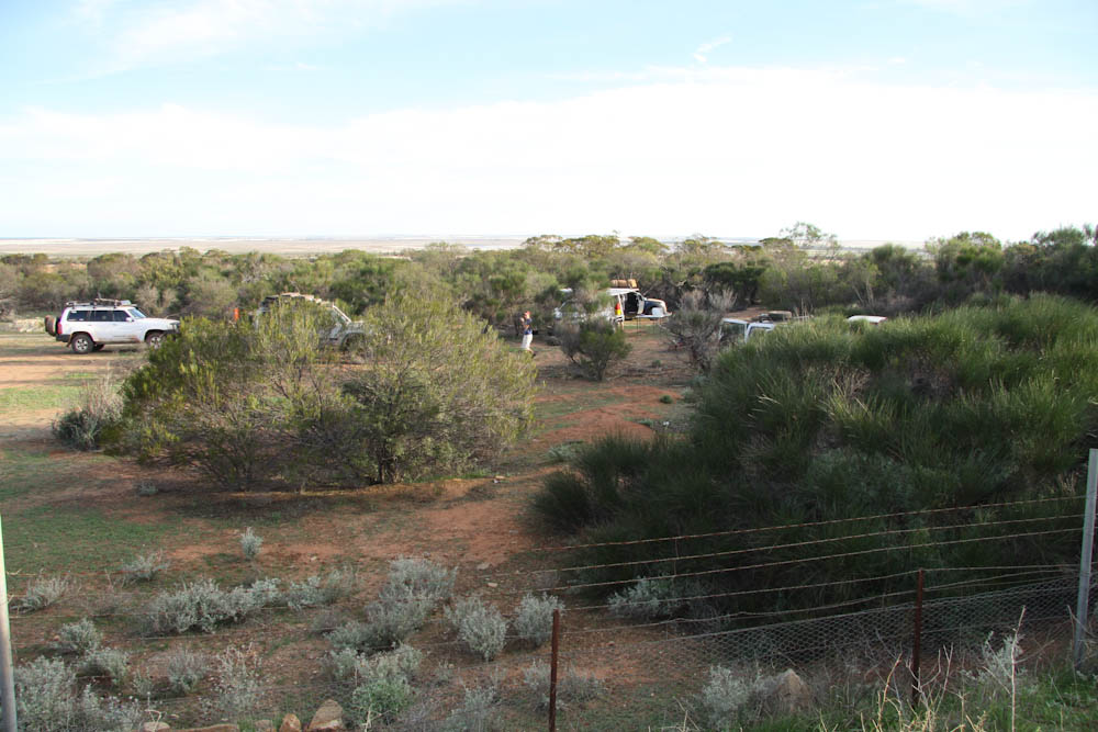
Through wired-up gates, back roads, creek crossings, and unused washed-away tracks we made our way to Jingemarra. The owners were expecting us, albeit a little earlier. They gave us directions to a great camping area and, unfortunately, we beat the flies’ retreat time by an hour.
-

- Campsite, second night
-

- Kim cooking
The Mid West Tour continued next morning, back to the homestead and then on to Melangata before emerging on Dalgaranga Road.
-
- Paul and Lauren approaching Dalgaranga Road.
-
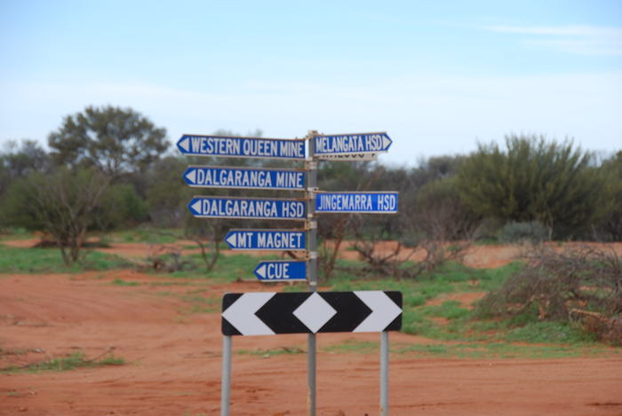
- Signpost at Dalgaranga and Melangata roads.
-
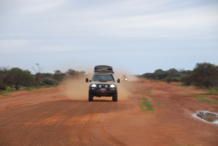
- Matt approaching Dalgaranga Road.
Only a few minutes down this road we came across the bog hole from where Shire vehicles had to be rescued at the peak of the rains.
-

- Forward progress temporarily halted.
-
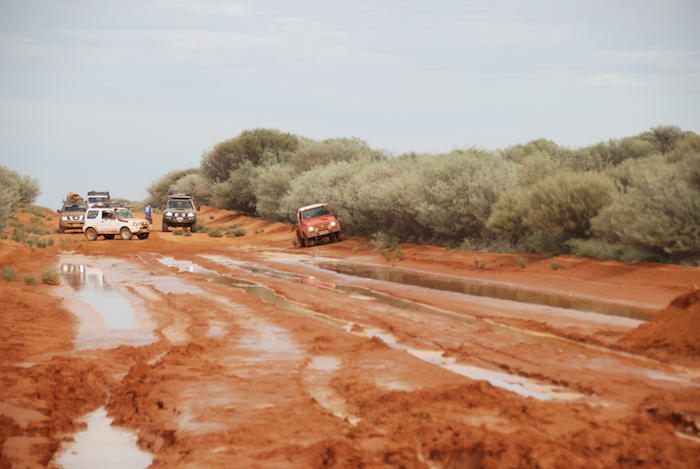
- After Aaron successfully negotiated the bog hole in his Colorado the Suzukis were next up.
-

- The two Suzukis tackle the bog hole.
-

- Paul taking his Navara past the bog hole.
-

- Matt cruises through the hazard.
-

- Graham slipped sideways.
-

- Preparing to winch out Graham’s Patrol.
-

- Side tipper left at the damaged section of road.
-

- All vehicles safely through the mud
The range of the Suzukis was again an issue. After a few calculations we determined that they could travel to Dalgaranga meteorite crater and still reach Yalgoo where they could refuel.
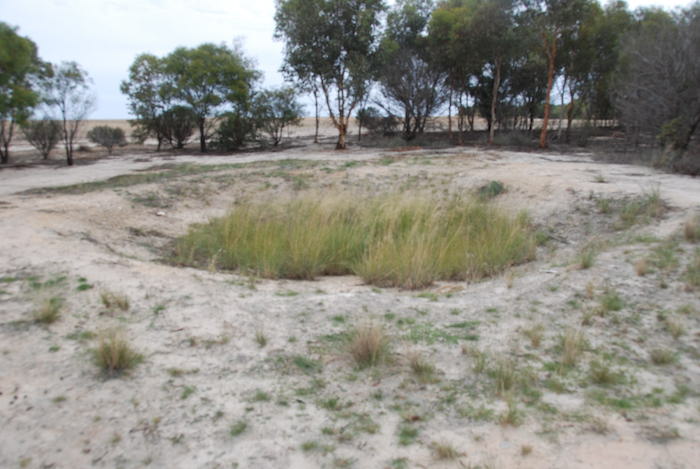
Dalgaranga meteorite crater is quite distinct and easily recognised as what it is. It was one of the first impact structures identified in Australia, the only confirmed crater in the world associated with a mesosiderite projectile (mesosiderites are a class of stony–iron meteorites consisting of about equal parts of metallic nickel-iron and silicate), and Australia’s smallest isolated crater. The meteorite that hit at Dalgaranga is considered to have a mass of between 500 and 1000 kg. Its age has yet to be determined.
-

- Information sign at the crater.
-
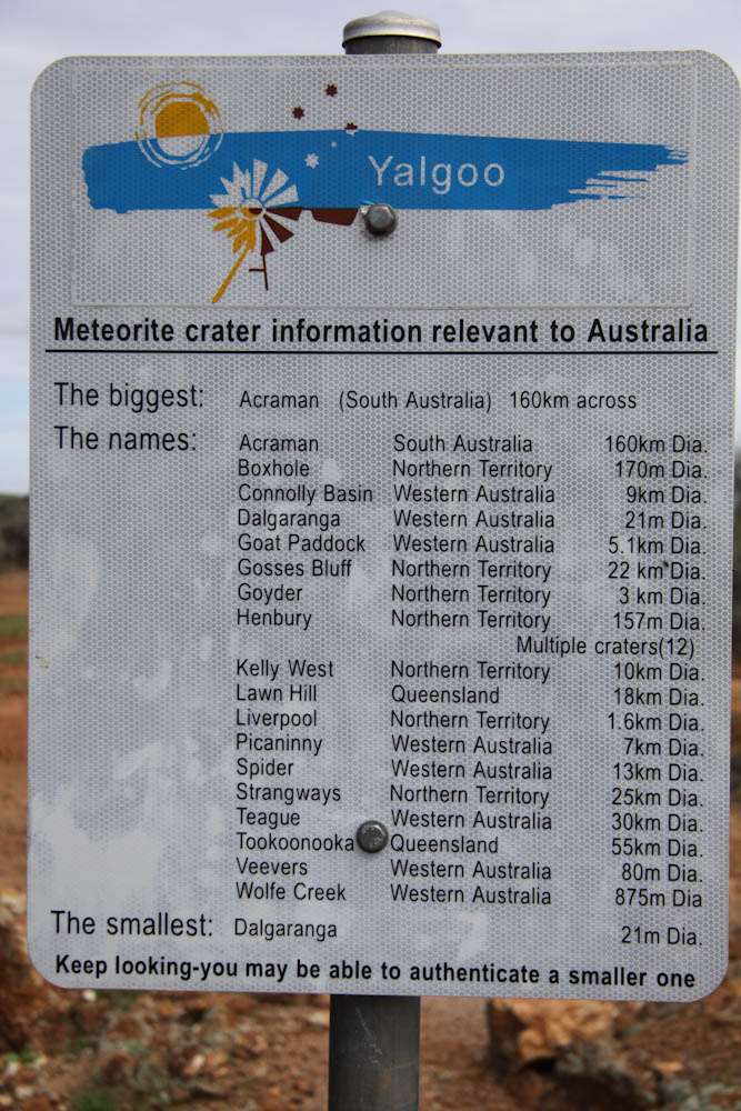
- The Teagure Crater listed is now known as Shoemaker Crater.
-

- Dalgaranga Meteorite Crater.
-

- Local resident at Dalgaranga meteorite crater.
-
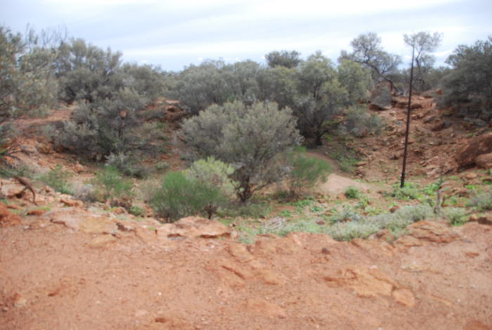
- Dalgaranga meteorite crater.
-

- Aaron removing mud from wheel to resolve vibration issues.
Access to the crater from the south is via Dalgaranga-Cue Road, Mount Farmer Road and then turn off to Uanna Hill Road. The crater is signposted off Uanna Hill Road. While it is not ‘spectacular’ it is well worth the effort to get to it.

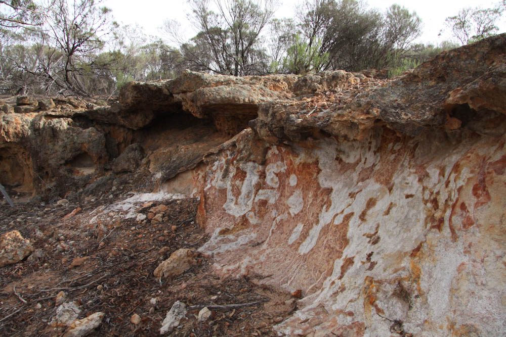
The opportunity to visit a rarely seen breakaway, replete with aboriginal hand prints, was not to be missed.
-

- Access to the breakaway is easy.
-
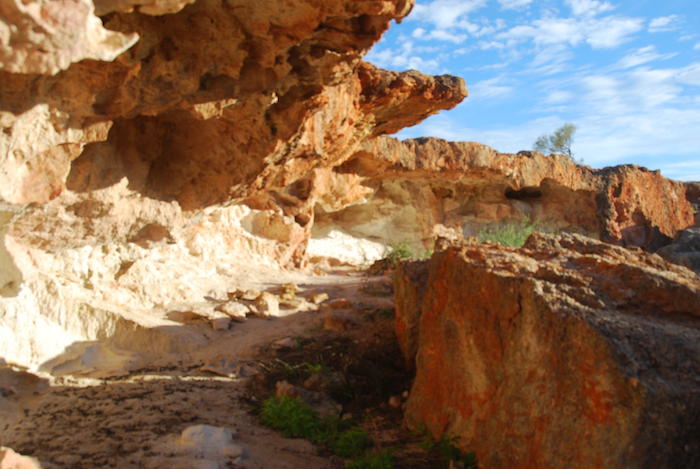
- Breakaway.
-

- Handprints under overhang.
-

- The breakaway extends for about 500 metres.
-

- Contrasting colours of a breakaway.
-

- Ochre blown handprints.
The Yalgoo Emu Cup and Goo Fest was well underway when we hit town. Although held at the Yalgoo Racecourse there was not an Akubra in sight. We refuelled and headed south on the Ninghan Road to Jokers Tunnel.
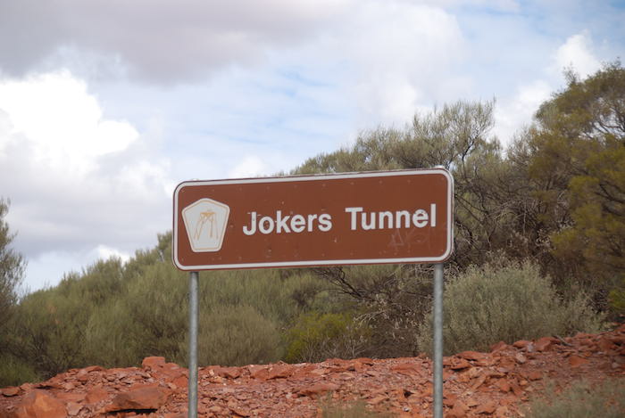
-

- The adit to Jokers Tunnel
-

- Walking through the tunnel
After passing a number of mine sites we set up camp late in the afternoon near old Rothsay.
-
- Graham’s and Matt’s camp at Rothsay.
-

- Leaving Rothsay camp.
First up next morning was a visit to the old Rothsay mining area.
-
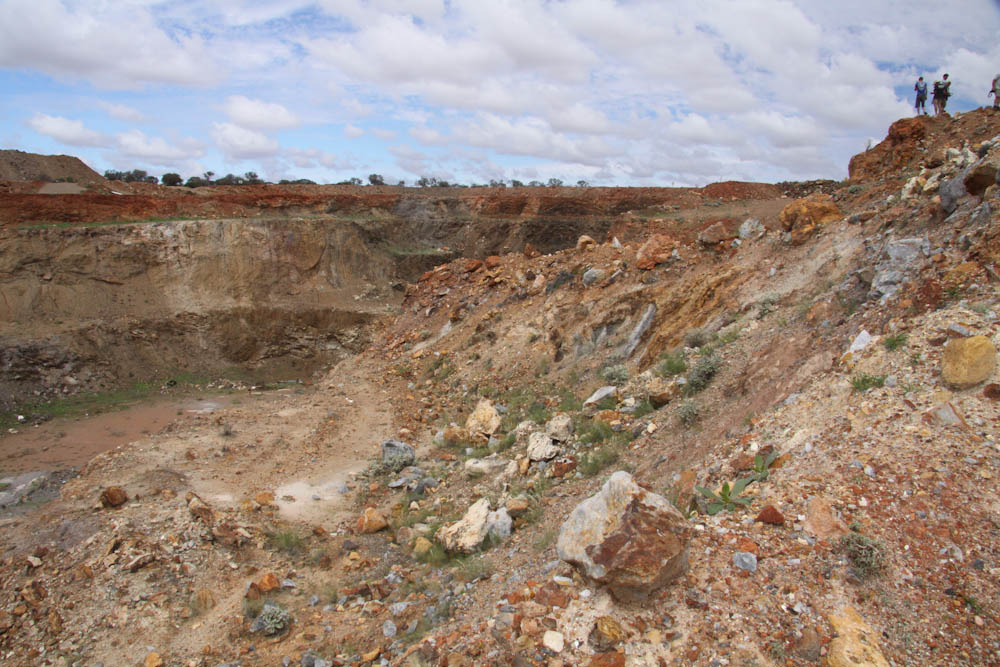
- Rothsay open cut mine.
-
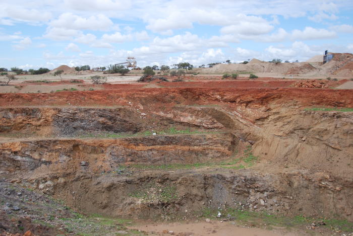
- An open cut pit in the Rothsay mining area.
-
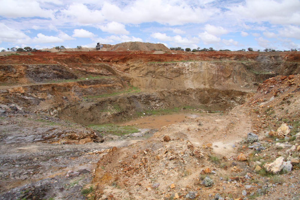
- Rothsay open cut.
-

- Ruins at the Rothsay mining area.
-

- Rothsay mine.
-
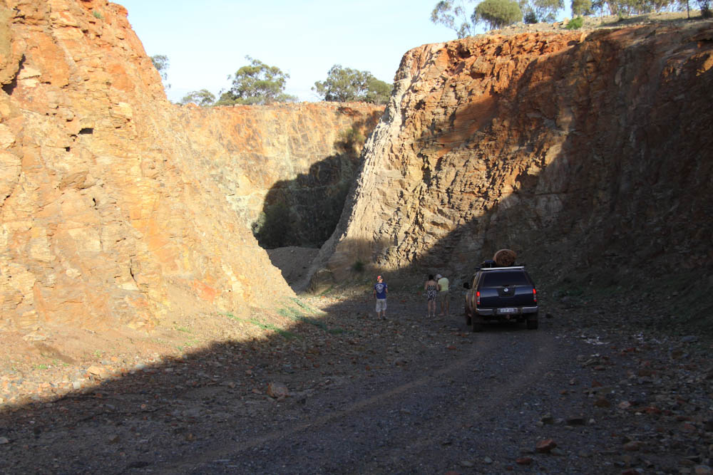
- Ramp into mine.
-
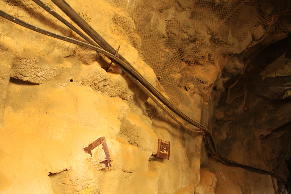
- Air pipes into the underground mine.
-

- Start of the underground mine.
Next on the agenda was John Forrest Lookout. The Coppermine-Warriedar Road heads south-east away from Rothsay and then transitions to the west. Twenty kilometres from Rothsay we turned right onto Lookout Road. This may be named Morton Road on some maps. The Lookout is well signposted and easily accessed.
-
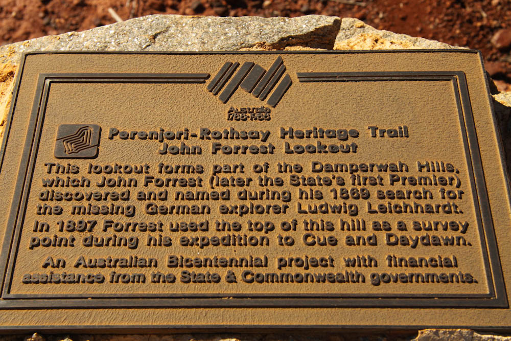
- Plaque at John Forrest Lookout.
-

- At John Forrest Lookout.
-
- Carpark from the top of the Lookout.
-

- Cairn at the top of John Forrest Lookout.
Leaving John Forrest Lookout the plan was to access Rothsay Road and head west to Damperwah ruins. A shortcut beckoned. Three hours and lots of scratches later we turned around, turned left onto Morton Road, then Rothsay Road and finally got to Damperwah – about three hours behind schedule.
-
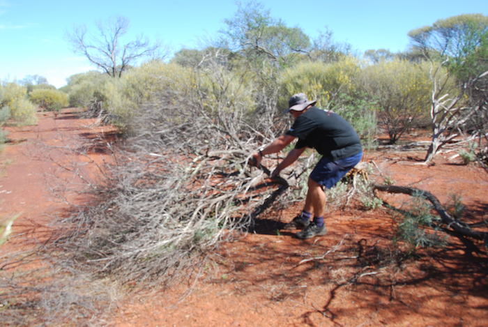
- Aaron removing a dead tree from the shortcut track near John Forrest Lookout.
-
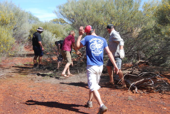
- Clearing track (shortcut) just after John Forrest Lookout.
-

- Graham bogged at creek.
-
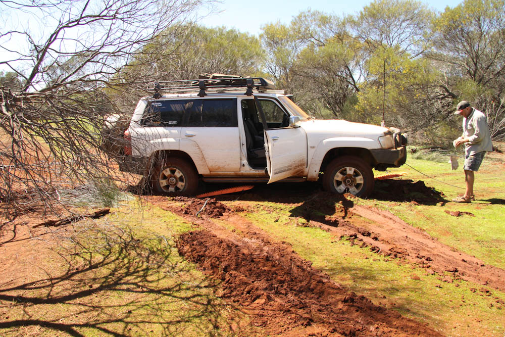
- Preparing to winch out the Patrol.
-

- Graham reels out his winch cable.
-

- The aftermath.
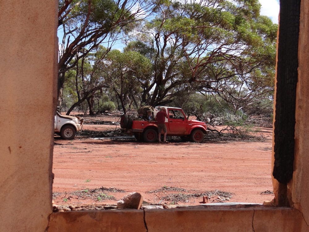
We called in to the derelict Damperwah Experimental State Farm for lunch.
-
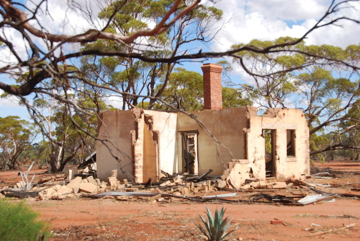
- One of the derelict buildings at the site of the Damperwah Experimental State Farm.
-

- Bishuble Well near Damperwah.
-

- Derelict building at Damperwah.
-
- Cliff’s and Greg’s vehicles at Damperwah.
-

- Aaron and Kim at lunch at Damperwah.
-

- Damperwah ruins.
-
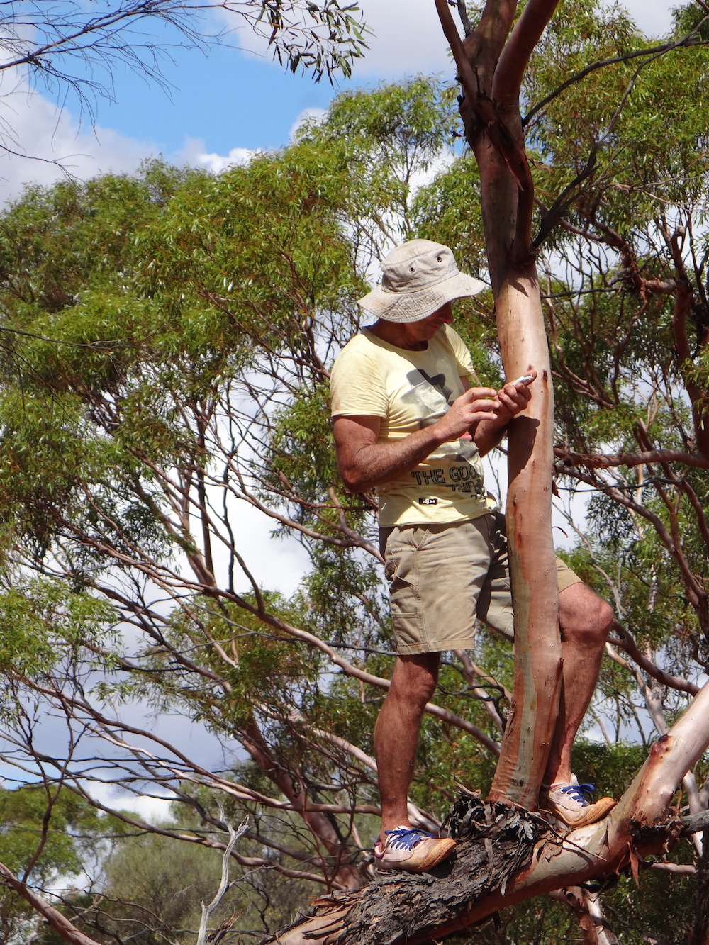
- Greg making a phone call.
-
- Cliff and his Maruti.
After lunch Camel Soak was inviting and refreshing. It is accessed off the Rabbit Proof Fence Road.
-

- Heritage plaque at Camel Soak.
-

- Camel Soak hill.
-

- Greg, Matt and Cliff at Camel Soak.
-

- Cooling off at Camel Soak.
Mongers Lake Lookout is less than impressive.
-

- The somewhat underwhelming view from Mongers Lake Lookout.
-

- Mongers Lake.
-

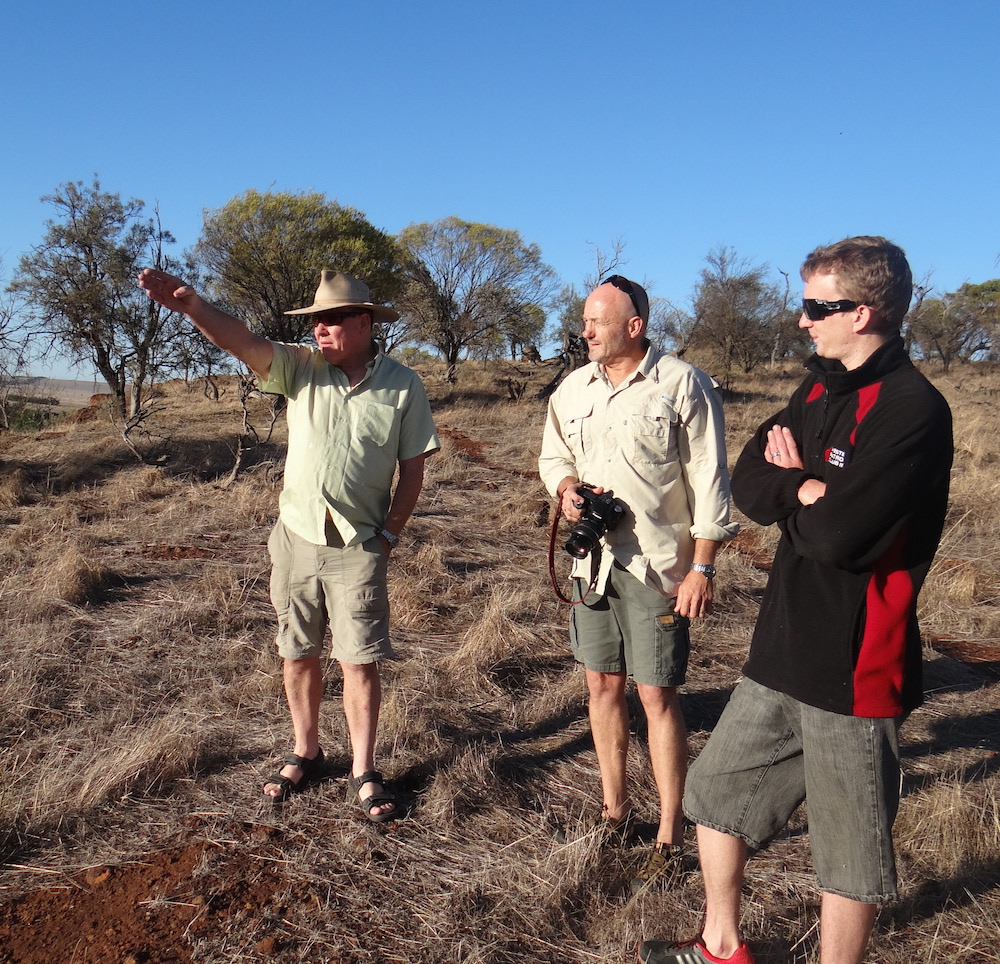
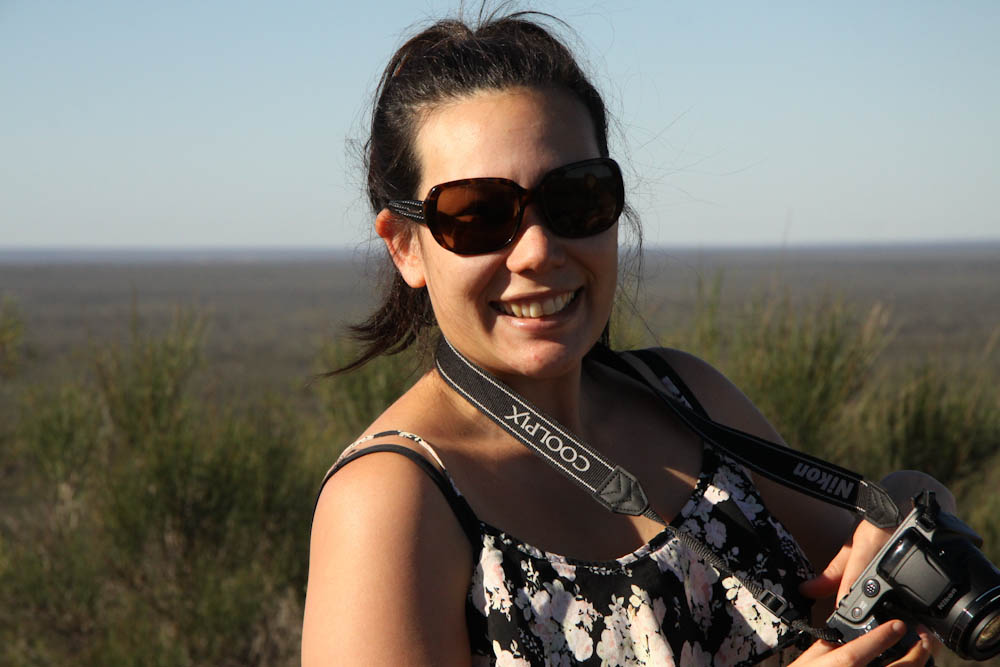
- Kim Epton
-

- Greg Barndon
-
- Lauren Bennett
-
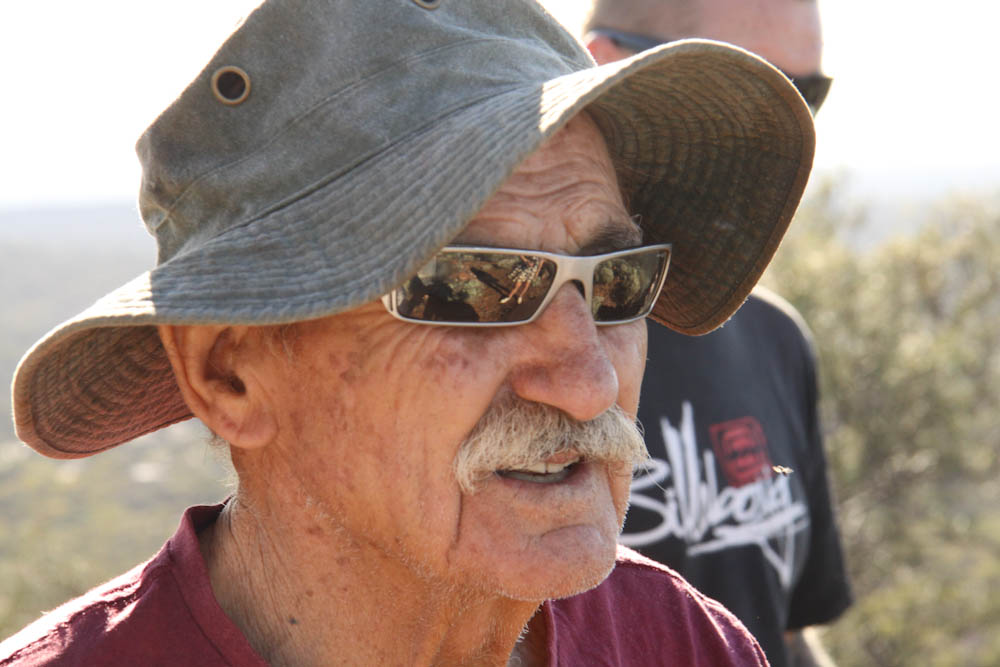
- Cliff Hills
Our efforts to find a road through to Lake Moore were frustrated by the 80 mm of rain that had fallen a few days earlier. We abandoned the quest and headed to Mt Collier dam where we stayed the night.
-

- Aaron and Kim at Mt Collier Dam camp.
-

- Mt Collier Dam.
-

- Local youngsters at the dam.
-
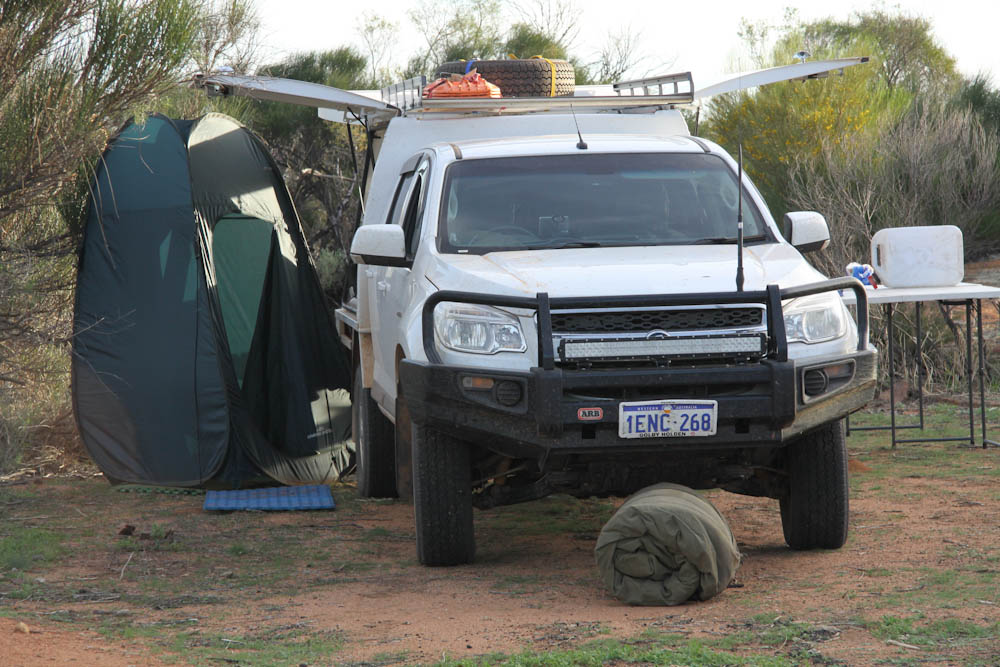
- Shower tent.
-
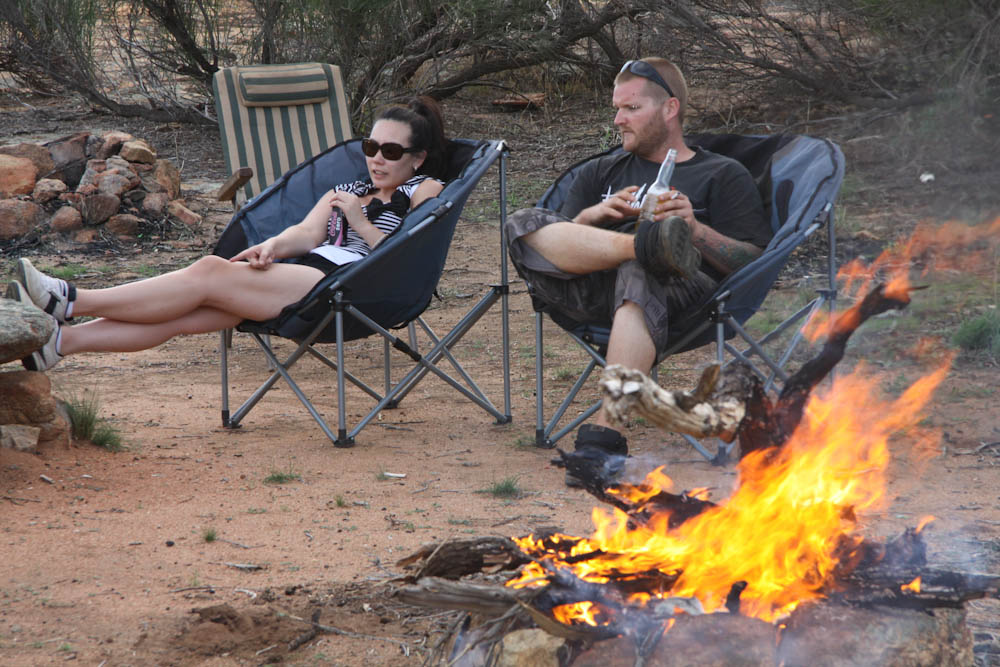
- Lauren and Paul.
-

- Greg and his eBay chair.
-
- Mt Collier Dam camp.
-
- Mt Collier Dam camp.
-

- Flies on Aaron’s Colorado at Mt Collier dam.
The first stop next morning was Beagleys Breakaway.
-

- A number of directional signs in the area utilised on windmill vanes.
-

- Cave at Beagleys Breakaway.
-
- Undercut at Beagleys Breakaway.
-

- View from ridge at Beagleys Breakaway.
-

- Cleft rock at Beagleys Breakaway.


Tampu Well is a few metres north of the turn off to Beagleys Breakaway. It is a good campsite.
-

- The turn off is well signposted.
-

- Aaron and Paul at Tampu Well.
-

- Kim, Matt and Cliff at Tampu Well.
Billiburning Rock was the next stop.
-

- Billiburning Reserve Information.
-
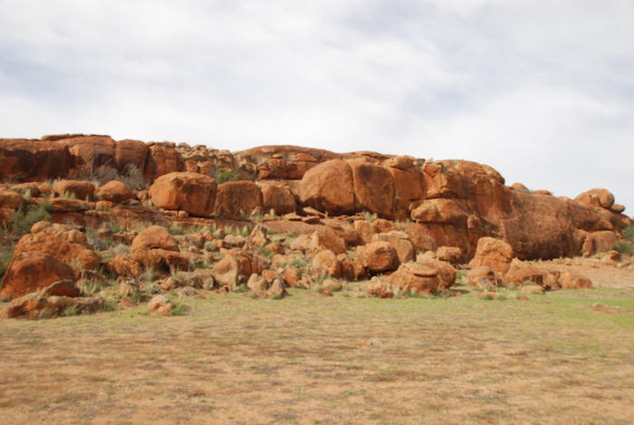
- North side of Billiburning Rock.
-

- Information sign.
-

- Billiburning Rock.
-

- Information sign.
-

- Soak at Billiburning Rock.
-

- Graham’s vehicle atop Billiburning Rock.
-

- Atop Billiburning.
-

- Large pool of water at Billiburning.
-

- Aaron’s Colorado.
-

- Greg’s Jimny at Billiburning.
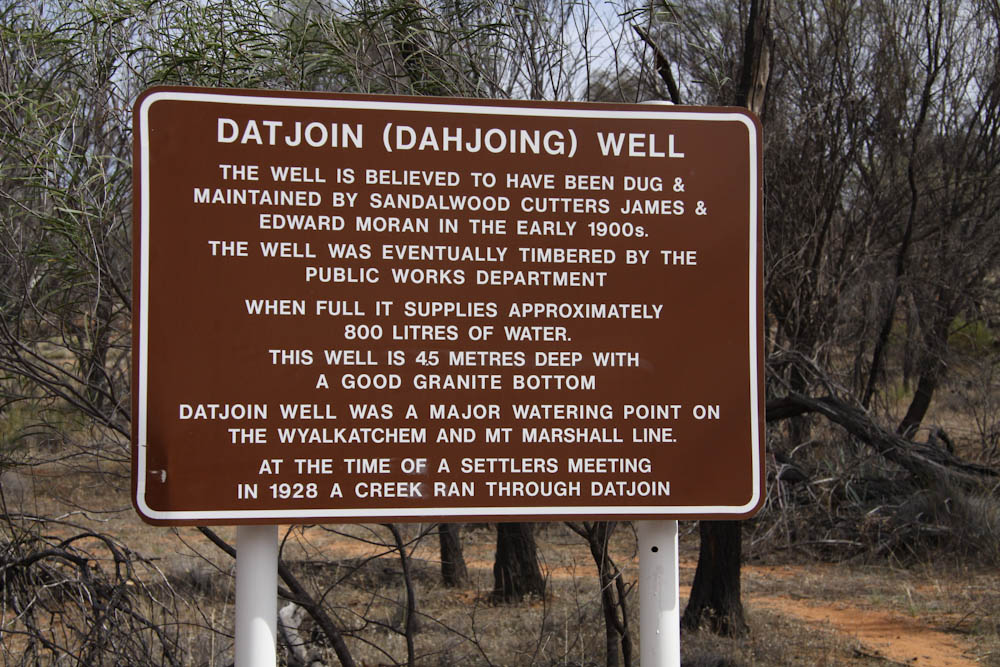
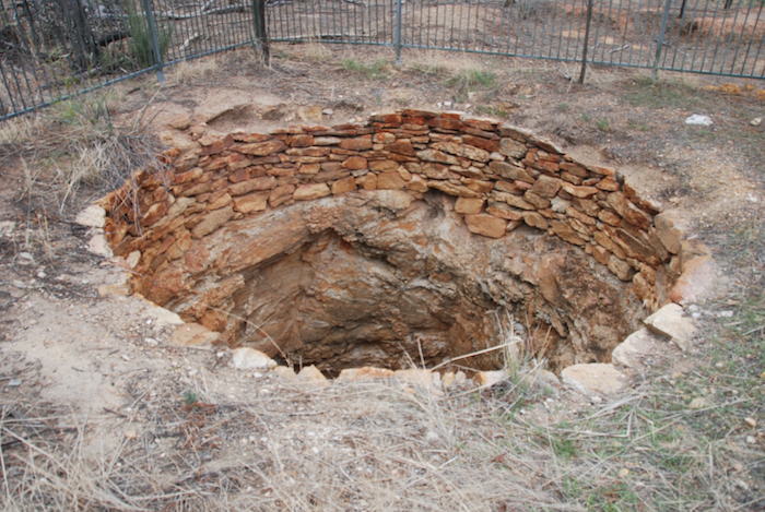
Leaving Billiburning we headed north to the State Barrier Fence, drove along the parallel road for a few kilometres and then headed south into farming country. Next stop was Datjoin Well. The turnoff to Datjoin Well is on the north side of Bonnie Rock-Burakin Road, a few hundred metres west of Clark Road. It is well signposted.
-
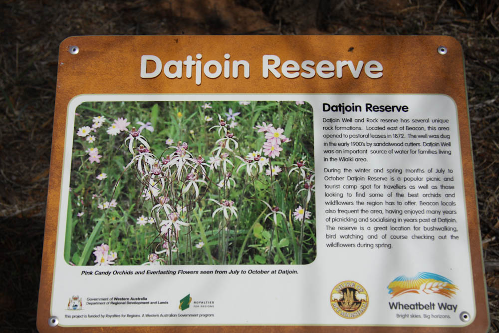
- Information sign
-

- Cairn on Datjoin Hill
-

- Information sign
-
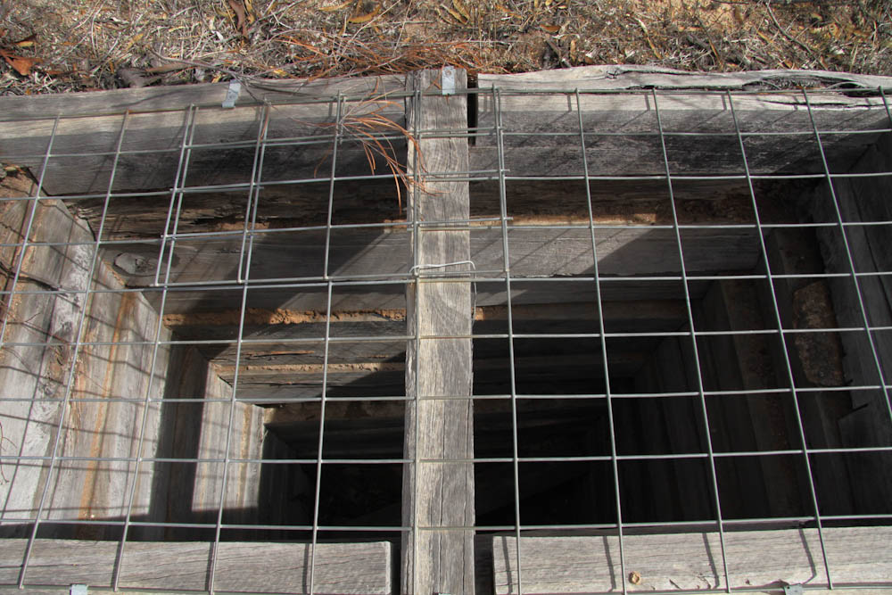
- Well at Datjoin Reserve
-
- Information sign
-

- Datjoin Well
-

- Datjoin Well
Namelcatchem Well is in a patch of bush 100 metres north-east of the intersection of Goomalling-Wyalkatchem Road and Minnivale Road. It is fenced and in excellent condition. Most unfenced historic wells are in a degraded condition.
-

- Matt Howe
-

- Graham Howe
-

- Paul Marriner
-

- Aaron Semmens
Nanning Well is a few hundred metres south of the Goomalling-Wyalkatchem Road, 500 metres west of the intersection of Goomalling-Wyalkatchem Road and Minnivale Road. It is only a few hundred metres from Namelcatchem Well. It is well signposted. Unlike most other wells Nanning is not at the bottom of a hill or rise, being situated part-way up the rise.
-
- Namelcatching Well 2015..
-

- Information sign at Nanning Well.
-
- Naaning Well near Dowerin.
-
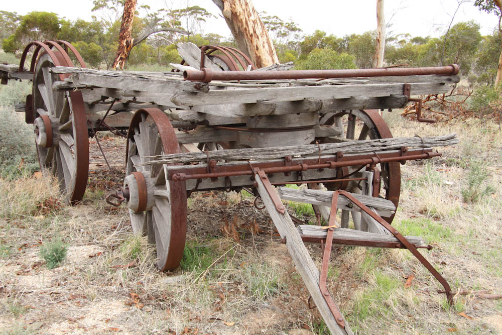
- Derelict dray at Nanning Well.
-
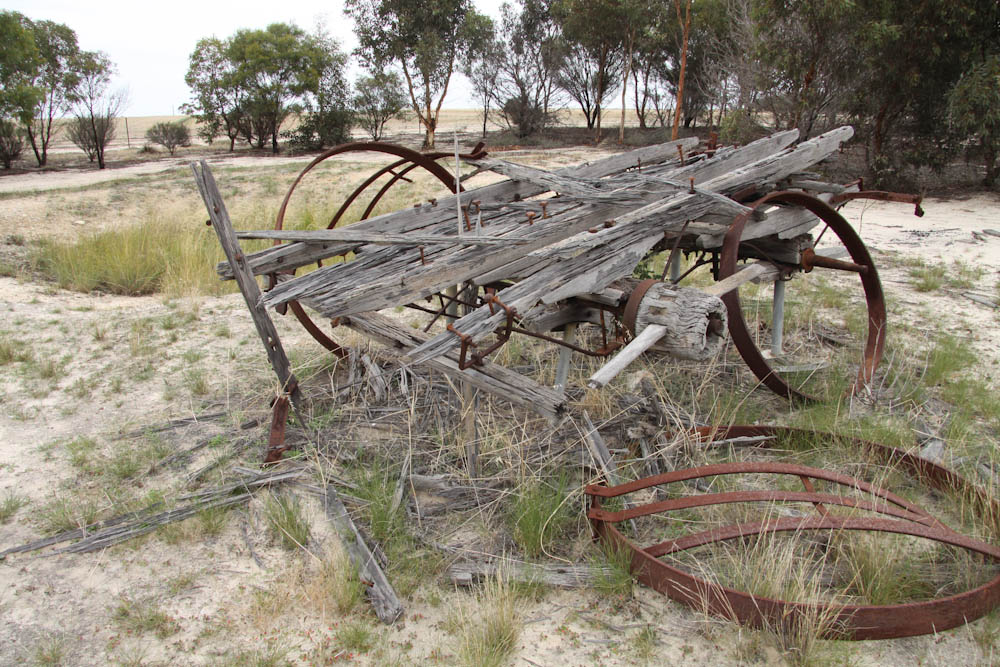
- Derelict dray with Nanning Well behind.
-

- Information sign at Naaning Well.
The Mid West Tour effectively ended after Nanning Well as people headed home into the rain from Goomalling in different directions.
The five day, 2000 kilometre Mid West Tour covered a diverse and striking range of country, and threw up some logistical challenges, a few unexpected adventures and numerous unplanned navigational issues.
© Kim Epton 2015-2024
Text and Layout:
Kim Epton
2280 words
Photographs:
Graham Howe
Kim Epton.
163 photographs
Feel free to use any part of this document but please do the right thing and give attribution to adventures.net.au. It will enhance the SEO of your website/blog and Adventures.
See Terms of Use.