
Goongarrie to Coolgardie
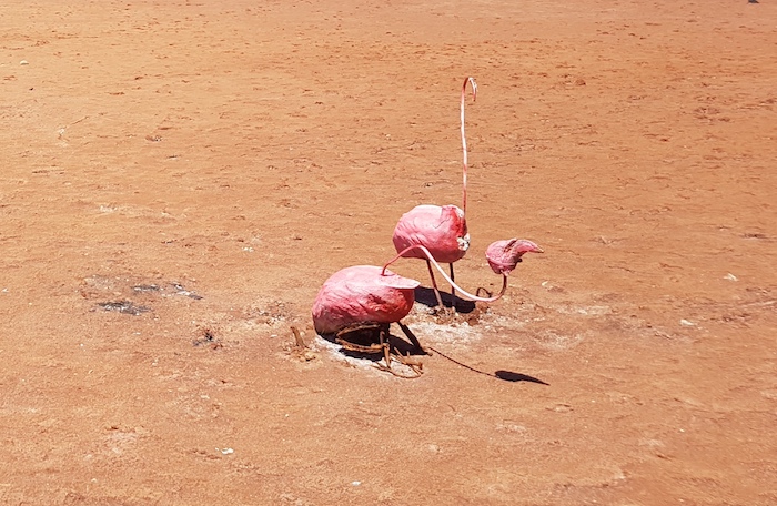
Our route took us through Ora Banda and onto the Coolgardie North Road. We stopped at a quirky art display on an unnamed claypan. No name, no commentary. Very clever use of gum boots.
-

- Lake Quirky Art


On arrival at Coolgardie we called into the Pioneer Cemetery – not to be confused with the Coolgardie Cemetery. After refuelling we wasted no time in heading south to Gnarlbine.
-

- Grave of R.J. Holland, goldfields pioneer whose team pushed through a track from Broomehill to Coolgardie over a five month period. It is now known as the Holland Track
-
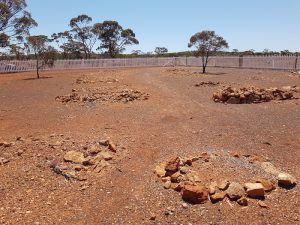
- Coolgardie Pioneer Cemetery
-

- A tribute and memorial to the pioneers of Coolgardie.
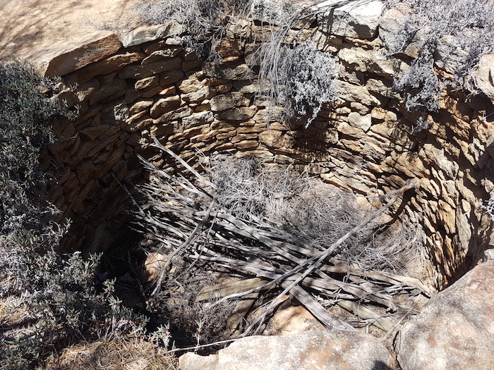
Gnarlbine
There are two wells at Gnarlbine. The lesser known and lesser visited well to the south is not one of the of the wells constructed Charles Cooke Hunt’s team.
-

- Hunt’s Well at Gnarlbine
-
- Hunt’s Gnarlbine Well.
Gnarlbine Well South
Sometime in 2019-2020 somebody had cleared an accessible path to the second Gnarlbine Well and removed a lot of the thick vegetation that had hidden it for so long.
-
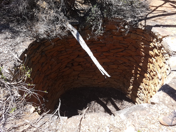
- The second, more southerly, newer well at Gnarlbine.
We left the second well, retraced our route on Victoria Rock Road north for a couple of kilometres and turned left at a sand quarry access track that leads to Hunt Track.
[In 2021 a short, overgrown section of Hunt Track was opened up to allow access to/from Gnarlbine Rock on the historic track thereby making the detour along the sand quarry track unnecessary.]
Hunt Track
During our expedition to re-create Hunt Track from Gnarlbine to Yerdanie in June 2019, Scott Wilson used satellite imagery to predict the presence of a woodline along the track about 5.7 kilometres east of the turnoff to the Prince of Wales mine. Old spikes, cans, tobacco tins, and, further into the bush, evidence of railway sleepers and more artefacts confirmed Scott’s brilliant interpretation.
I decided to try to re-locate this old woodline. The task was made easier by a ‘File Tree’ that someone had created to mark where the woodline crossed the track.
-
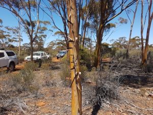
- Salmon Gum ‘File’ Tree
-
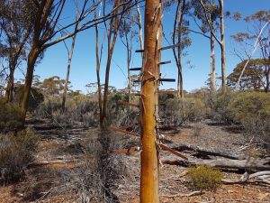
- Old files hammered into tree.
We had lunch at the Prince of Wales mine. Although abandoned, it is subject to a number of active tenements. The number of open, unmarked and unfenced shafts and diggings make the area risky for the unwary.
On the numerous occasions we have camped at Prince of Wales mine it has always been very cold (one time -5ºC). On this visit – October 2020 – it was a beautiful Spring day.
-
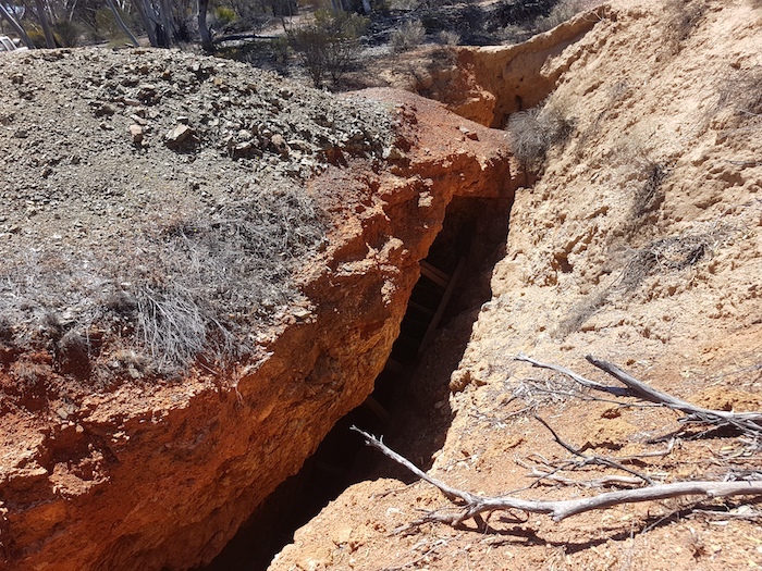
- A shaft at the Prince of Wales mine.
Just as we were leaving Prince of Wales to resume our journey along Hunt Track, Greg called over the radio that his Colorado had a flat. With everyone helping we were on our way again in less than five minutes. Not quite Formula 1 standard but still impressive.
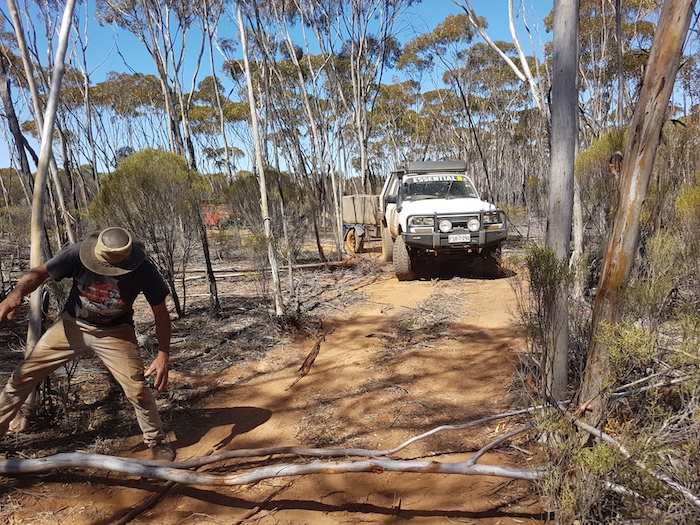
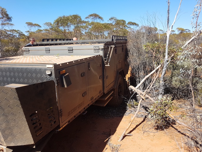
As I predicted, we had a few issues getting the long Bigfoot camper trailer through a stand of regrowth. Future travellers should now have no issues.
-

- The Bigfoot camper didn’t quite make it around the corner.
-

- Scott clearing the Track.
-

- Greg removing fallen trees from the Track
-
- Greg clearing the Track for Corey to get through.
-
- Another corner where it was too tight for the Bigfoot.
Yerdanie Rock and Well
We climbed to the top of the rock. Great 360° views. Clearly there had been showers recently at Yerdanie. I have never previously seen so much water at the summit.
-
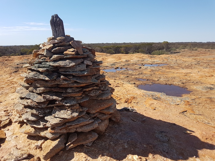
- Water at the top of Yerdanie Rock near the cairn.
Hunt’s Well at Yerdanie had been lost for more than a hundred years and was located only in 2020. As it is not signposted and is a few metres off the Track it has to ‘re-found’ on each visit.
-

- Yerdanie Well
-
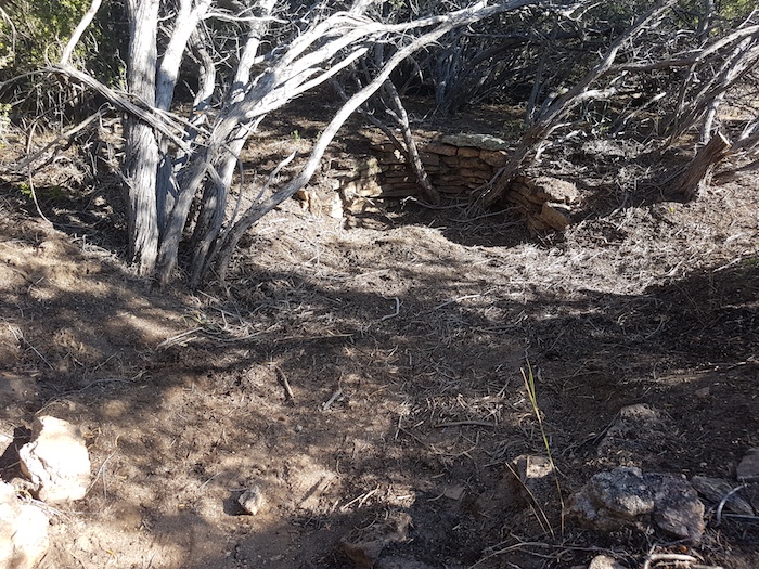
- Yerdanie Well
We left Yerdanie for Karalee, reaching Great Eastern Highway after seven more kilometres of Hunt Track. The day was quickly coming to a close so it was straight down the blacktop to Karalee.
Karalee
We had time for only a flying visit as it was late in the day. The track west out of Karalee is rough and overgrown in places. We reached Morlining Rocks and selected a campsite.
Morlining Well
In the morning we walked to Morlining Well before continuing on the track to Yellowdine.
-
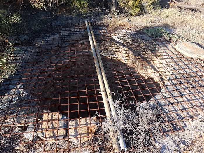
- Morlining Well
Diesel was cheap at Yellowdine (106 cents/L) so most took the opportunity to top up and inflate tyres to highway pressure.
We followed Goldfields Road to the Rabbit Proof Fence Interpretive Site at Burracoppin and then visited Hunt’s Well only a short distance west.
The Road Trip finished at Merredin.
© Kim Epton 2020-2025
806 words, 21 photographs.
Photographs
Kim Epton
Corey Rees
Feel free to use any part of this document but please do the right thing and give attribution to adventures.net.au. It will enhance the SEO of your website/blog and Adventures.
See Terms of Use.