
-

- Outline of Tour.
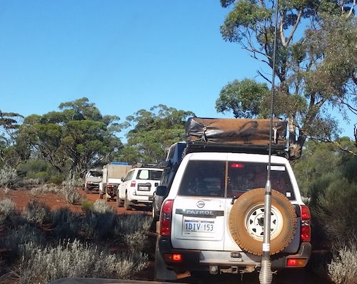
After a false start on the Anzac Day break, the Helena and Aurora Range Tour left Perth on Friday 2 June 2017.
I think all my planned excursions should start with a quote from Robbie Burns – “The best laid schemes o’ mice an’ men, gang aft agley (go awry)”.
And so it was with the Helena and Aurora Ranges Tour. The plan was to stay at Mukinbudin on the Friday night, visit the Helena and Aurora Range on the Saturday and continue on to Ularring Rock for the night. From there we would drive to Coolgardie via Daveyhurst and Rowles Lagoon to Baladgie Rock. The next day we would return to Perth. The reality was somewhat different.
At Dowerin, Rex Adams and Diane Hatwell were kind enough to give us a tour of the Dowerin Museum and the Minnivale Heritage Railway Project.
-
- Minnivale Rail Project
-

- At Minnivale Heritage Rail Project.
There are some interesting ruins at Minnivale, and a free camping area.
-
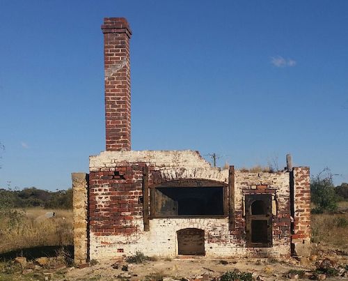
- Ruins of bakery at Minnivale.
Along the way to Minnivale Diane, Scott and I visited Nenin Well with a view to refurbishing it in the future. This well was first recorded by surveyor George Leeming in 1891. Clearly it was not the well then that is is now. It is a considerable construction that would most likely have been used as a water source for early settlers. It is difficult to estimate a date of construction however it would be post 1907 and possibly in the 1920s.
-

- Nenin Well, near Dowerin.
Those that did the tour of Dowerin arrived late afternoon at Mukinbudin. The camp kitchen and ensuite ablutions here are amazing. If the region had a higher rainfall allowing the park to have grassed areas it would rate as one of the tops parks anywhere! The mild temperature, plentiful wood, and great company made for a wonderful evening around the fire.
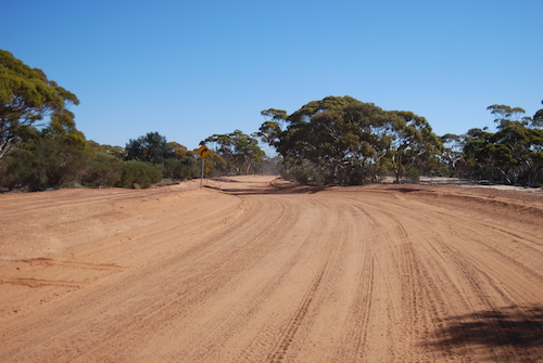
Despite a few grumbles at the (not so) early hour we were away by 0810. The entire Tour was within the remarkable Great Western Woodland, the largest remaining area of intact Mediterranean climate woodland left on Earth.
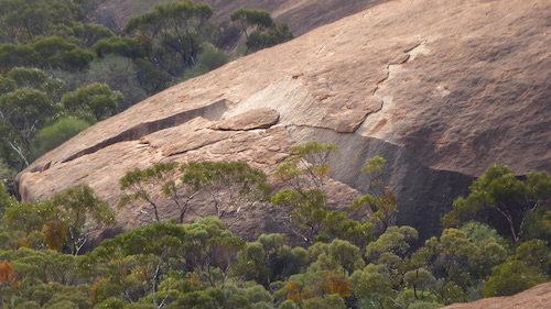
The first stop was Elachbutting Rock, the most spectacular granite outcrop in the Wheatbelt.
We parked and walked to the ‘waves’ of Elachbutting Rock.
-

- Ayesha at Elachbutting.

-

- Walk track in to the waves.
-
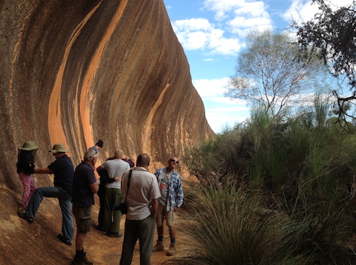
- The group at the Elachbutting Wave.
-

- Elachbutting Wave.
-
- Cliff in touch with the home front after leaving the wave.
-

- Greg and Phil on the walk path back from the wave.
Nearby is Montys Pass. This tunnel has been formed by a gigantic rock slip.
-
- Rock slip that formed Montys Pass.
-

- Kim at entrance to Montys Pass.
-

- Entrance to Montys Pass.
-
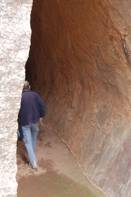
- Kerry walks through Montys Pass.
-
- Steve inside Montys Pass.
-
- Nick at exit of Montys Pass.
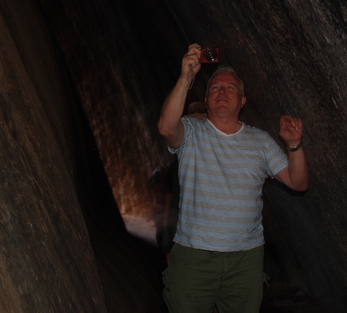
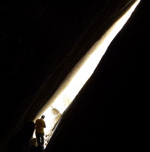
At the end of the ‘tunnel’ is Kings Cave – more correctly, a large tafone.
-
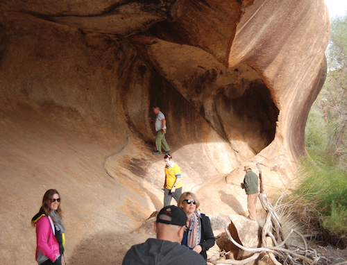
- This ‘cave’ at Elacbutting Rock, near Montys Pass, is more correctly a large tafone.
-

- Kings Cave at Montys Pass.
-
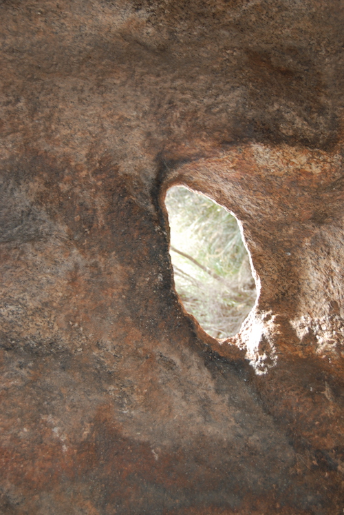
- A hole has been weathered away in a wall of Kings Cave.
-

- Kings Cave overhang.
Leaving Montys Pass/Kings Cave, we drove around the Rock and stopped at the pioneer well.
-

- Elachbutting Well
-

- Elachbutting Well
A short distance further along the main path that encircles Elachbutting is a track off to the right, leading to top of Rock from where there are magnificent views of the surrounding countryside.
-

- Andrew on top of Elachbutting Rock. The rows of trees across the paddock in the background are part of a farming practice known as ‘alley cropping ‘.
-
- Scott at Elachbutting Rock.
-
- View of Montys Pass from top of Elachbutting.
-

- Kerry at the top of Elachbutting Rock.
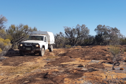
We left Elachbutting and headed north with the intention of finding the Mount Jackson track. Joe was leading the way, Scott bringing up the rear.
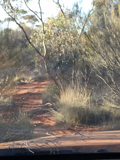
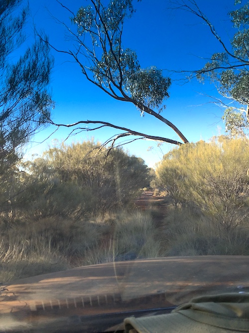
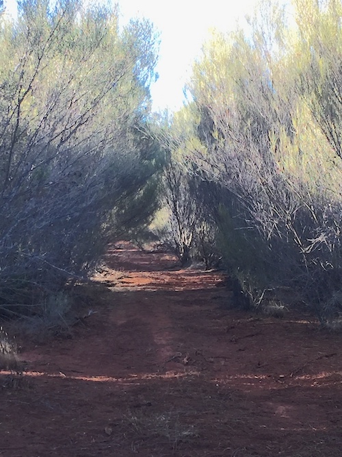
The southern end of the Mount Jackson track is difficult to spot. Once located, it was almost immediately clear that it had been little used. It is very overgrown and, in some places, indistinct. Travel on the track was slow, challenging, and damaging to vehicles. Serious ‘bush pinstriping’ – more accurately – scratching!!
On this track your vehicle will get badly scratched, mirrors will get broken, tyres staked, lenses are at risk, panel damage can occur, and if you don’t keep your windows up you will get slapped in the face by close in vegetation. Not traveller friendly.
-
- Narrow track.
-
- Overgrown track.
-
- Scratchy track.
We stopped at Eagle Rock (local name, not official), climbed to the top, found aboriginal paintings, took photos, descended the rock, and then had lunch.
-
- Andrew and Nick lead others up Eagle Rock.
-

- View of the woodland from Eagle Rock.
Eagle Rock is a large monadnock, in two parts. A monadnock or inselberg is an isolated hill that rises abruptly from a surrounding plain (literally ‘island mountain’).
The northern outcrop has fine examples of simple aboriginal artwork.
-
- Stuart climbing the northern part of Eagle Rock.
-

- Aboriginal artwork on a striking example of a haloclasty-affected rock at Eagle Rock.
-

- Aboriginal drawings at Eagle Rock.
-
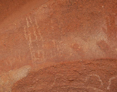
- Aboriginal artwork at Eagle Rock.
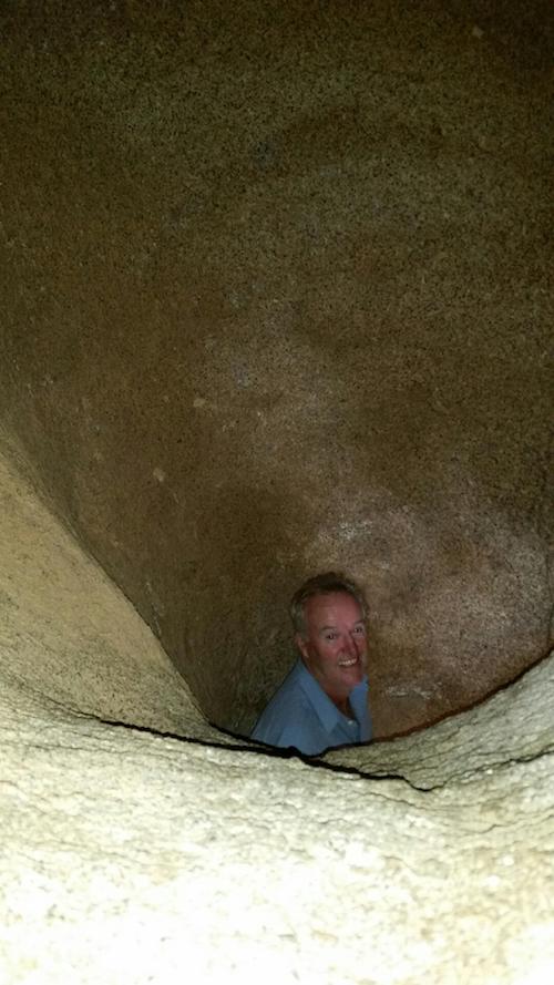
We found a hollowed out holoclasty and climbed underneath.
-

- Inside a weathered rock.
-
- Scott at bottom of hollowed bell shape rock.
-

- Phil at Eagle Rock.
-

- Why it is called Eagle Rock – maybe.
-

- Haloclasty sculptured rock at Eagle Rock.
-
- Joe and Greg examine a fine example of haloclasty rock at Eagle Rock.
-
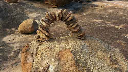
- Of modern construction.
-

- Gall rust fungus on an acacia at our lunch spot.
It was then back to the grind of punching through the overgrown track. Our vehicles were sustaining a lot of damage.
Progress towards our destination stopped in the middle of the afternoon. The track disappeared at a rocky outcrop. Despite forays to the north along the base of the rock in the Jimny by Scott and Joe and investigations to the east on foot, the continuation of the track remained elusive. A camera-equipped drone would have been useful.
-

- Like this for many kilometres.
-

- Joe’s Y62 on Mt Jackson track.
-
- Close in scrub.
-
- Andrews GQ on the rocky outcrop where the Mt Jackson track disappeared.
-

- Phil’s Toyota on a rocky outcrop where the Mt Jackson track disappeared.
There was no alternative but to turn around and find another route to Mount Jackson. As on the push northwards, the return south was slow going.
Late in the day I found a clearing short of Eagle Rock that made for a great campsite. It had more than enough room for all the vehicles and plenty of firewood.
-

- Open woodland along the Mt Jackson track.
Joe gave a damper-making demonstration.
-

- Joe making damper.
-

- Ready to bake.
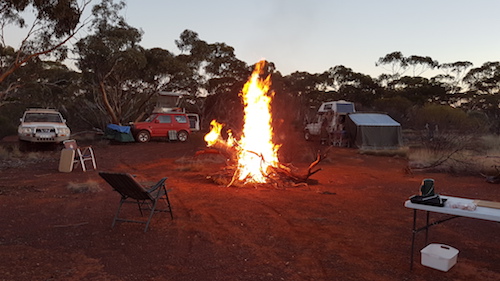
Another great night around the campfire.
-

- Around the campfire Saturday night.
In the morning the push south continued on the tight, overgrown Mount Jackson track. When reached, the wide open, smooth Mount Jackson Road was a relief. Although, if we had been travelling on it a few days earlier the rain that had fallen would have created some challenges.
-
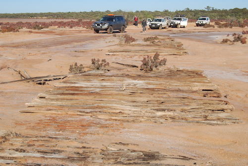
- Corduroy track across a neck of the Hamersley Lakes.
-
- Corduroy track
-
- Corduroy
-

- Inflow creek to Hamersley Lake.
-
- Greg and Margot in Colorado.
Not surprisingly, the Mt Jackson track led to the Mount Jackson Homestead ruins.
-

- Ruins of Mount Jackson Homestead.
-

- Ruins of Mount Jackson Homestead.
-

- Not sure of its purpose.
Gold was discovered here in 1894. The gold mine here was the largest on the Mount Jackson Goldfields.
-
- At Mt Jackson goldfields.
-
- On the Mt Jackson goldfields.
The actual Mount Jackson, 18 kilometres to the south-east, is the site of an iron ore mine run by Cliffs Natural Resources.
In his book Australia Twice Traversed explorer Ernest Giles mentioned that his charts included a hill shown by Surveyor/Explorer A.C. Gregory as Mount Jackson, although he expressed some doubts as to whether he was at the same hill. Gregory visited the hill in 1846 but neither he nor Giles gave a derivation for the name. On examination of Mount Jackson Giles recorded,
“The composition of this hill was almost iron itself, and there were some fused stones like volcanic slag upon it. It was too magnetic for working angles with a compass; it was between 500 and 600 feet above the surrounding regions.”
Leaving the Mount Jackson homestead ruins, some visited the cemetery.
-
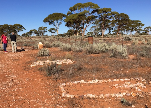
- Mount Jackson cemetery.
-

- Unknown grave.
-
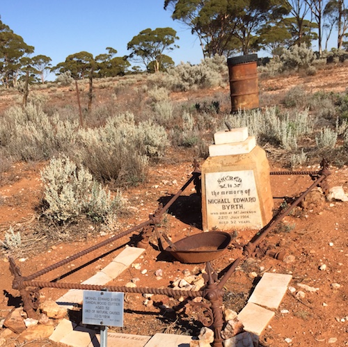
- Headstone
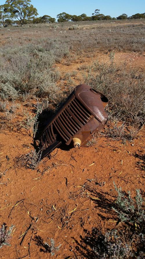
Others checked out a few old diggings.
-
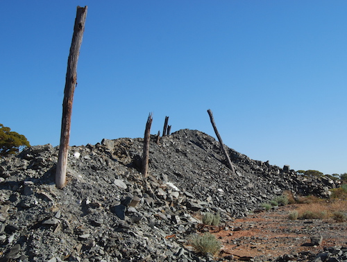
- Tailings dump at Mt Jackson goldfields.
-
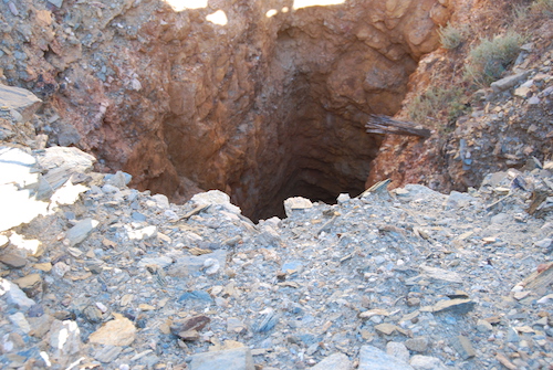
- Disused shaft at Mt Jackson goldfields.
-

- Disused shaft at Mt Jackson goldfields.
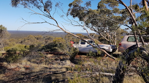
The track east took us to the Helena and Aurora Range. Also known as Bungalbin, this feature was named by Alexander Forrest in August 1876. See more.
-
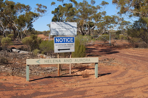
- Track to Helena and Aurora Range.
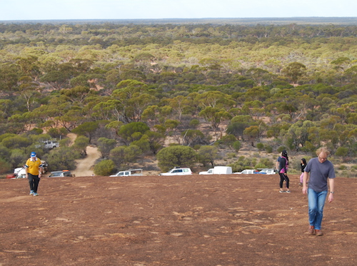
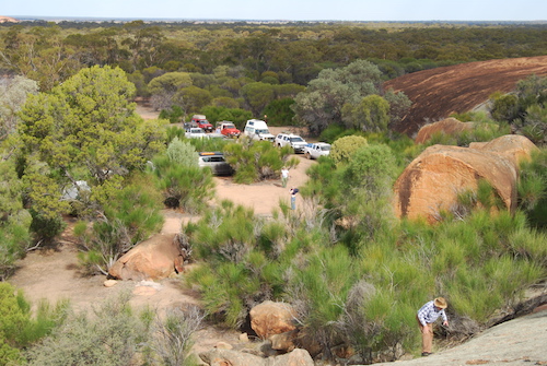
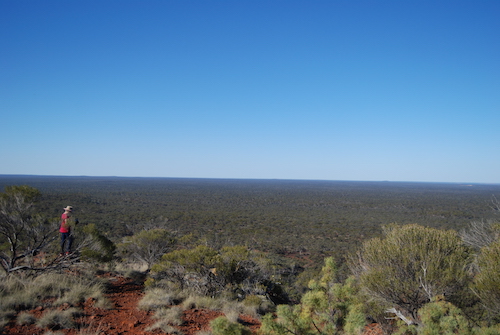
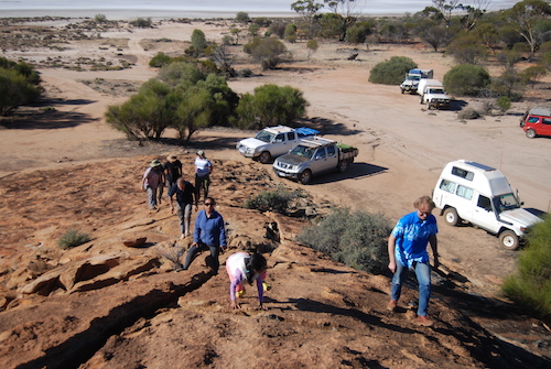
After lunch at the official Camping Area we drove to the top of Bungalbin. Great views.
-
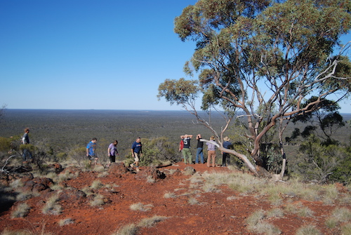
- At the top of Bungalbin.
-
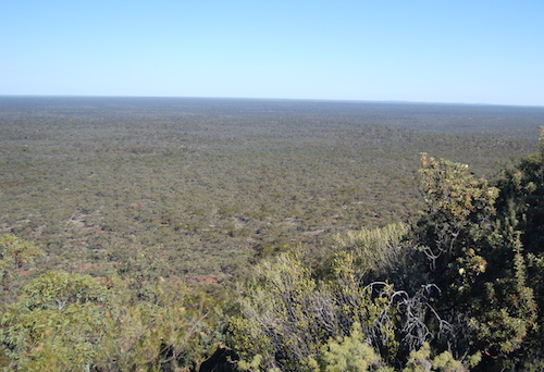
- View from Bungalbin.
-
- View from Bungalbin.
-
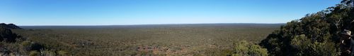
- Bungalbin
-

- Greg at Bungalbin.
-

- View from Bungalbin.
-
- At the top of Bungalbin, looking south.
-
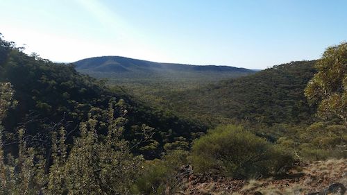
- View at Bungalbin.
C.E. Dempster, Andrew Dempster, Charles Harper, and B.D. Clarkson explored this area in 1861. Charles Cooke Hunt travelled through the area in early 1864 and Clarkson, Harper and Lionel Lukin were there again in mid-1864. I was interested in locating Jimbine Rockhole where Clarkson, Harper and Lukin had camped for three days, making daily forays to the surrounding area.
We left the designated Helena and Aurora Camping Area and located what we believed was the access track to Jimbine. After only a very short distance it was clear that the track had not been used for many years. It was very overgrown and there was no certainty that it would lead to the rockhole. It was more than likely a ‘shot line’. I was fairly confident that no one had been to the rockhole on this track since Lesley and Michael Brooker’s ‘re-discovery’ of it in 2008. Read more here.
We had to cross the western extension of the Helena and Aurora Range (Bungalbin) as we continued our push north. This was not the track the Brookers used when they located the rockhole.
It was a steep, rough ascent and then an equally rough descent. Low range, first gear.
-
- Andrew on the way to Jimbine.
-

- Cliff climbing the hill on the way to Jimbine.
-
- Stuart at the top of the rise.
-

- Greg and Margot coming up the hill.
-

- Scott on what is the western extension of Bungalbin.
-

- Phil on the way to Jimbine.
-

- Nick and Carrie at the top of the hill.
-

- Kerry on the track to Jimbine.
-

- Steve and Linda near the top.
Joe was in the lead and immediately on descending the ridge he was on the radio saying that his vehicle had a flat. The tight, constricting conditions made it more difficult than normal to change the wheel.
-

- Joe putting on spare.
Clearing the track became more of a priority.
-

- Joe clearing track.
-

- Joe clearing track.
We had left the Helena and Aurora Range extension behind us and were running out of daylight and needed to find a campsite. What we thought was the track to Jimbine Rockhole presented itself on the left and we turned to the west.
-
- Very overgrown track.
We located a great camping area about 500 metres into the start of the spinifex (Triodia irritans) – a reliable indication of low rainfall.
-
- Cliff’s Maruti.
-
- We don’t always build a fire that can be seen from space. The timber in these woodlands is not overly-conducive to creating coals for cooking and with a quite a few intending to cook ‘on the fire’ there was a need for a lot of coals.
-

- Fixing Kerry’s chair.
-

- Joe changing wheel.
Next morning I had another look at the map, reviewed where we were and suggested to Scott that we should do a short ‘recce’ to ascertain if we were on the correct track. We jumped into his Jimny and returned 500 metres along our inward route before turning left and heading north. Our required track was 150 metres north and very difficult to locate. After a short run along this track we were comfortable that it was the correct route, and returned to camp.
A short time after we eventually departed from the overnight camp we had a SNAFU for 30 minutes when we lost the tail end of our convoy. Scott sorted the situation to get everyone back on the same track – actually a ‘shot line’.
By this time I was at the ‘pointy end’ and the track/shot line had disappeared. Fortunately, it was open woodland and I was able to find a way forward ‘cross country’, approximating the previously-determined route. Approaching our destination the vegetation thickened and I was forced to the south-west – eventually deciding to stop as we were close enough to walk to where I thought the rockhole was.
I parked and called everyone forward. We were within the vicinity of the rockhole and it was just a matter of navigating on foot to the position given by Lesley and Michael Brooker.
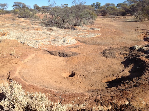
Within two hundred metres we came onto Jimbine Rockhole – certainly the first people to have been there in nine years. And not too many people had been there since it was ‘discovered’ by Clarkson and Harper in 1864. A good indication of this is the large number of aboriginal artefacts that remain in situ far and wide around the rockhole. More information here.
-
- Jimbine Rockhole
-

- Ayesha tries water divining at Jimbine Rockhole.
-

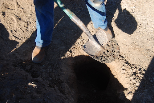
- Scott cleaning out the waterhole.
-
- Clear evidence of moisture.
While the archeologists excavated the rockhole, Phil and I, and then later a few others, searched the immediate vicinity for aboriginal artefacts.
-
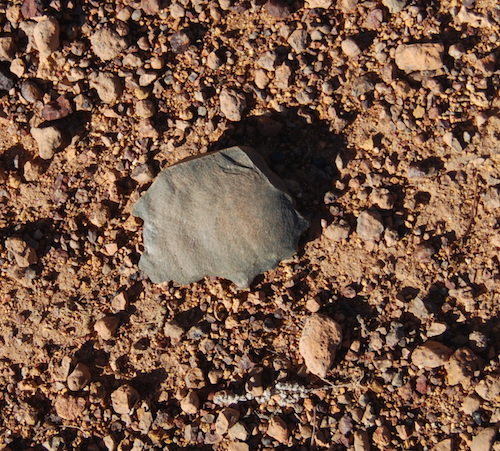
- Stone flake cutter.
-

- Grinding stone that has been broken. Aboriginal women used such stones to grind seeds. On their death the stone would be crushed/broken and scattered.
I surmised that the north-south track to the east of Jimbine would take us (eventually) to a westerly track that would link with the diversion track further to the west. The Hema map showed the track to the south but didn’t show the westerly connection to the diversion track. However, Stuart’s Ozi Explorer map showed an east-west track that we believed would be the connection we were seeking. It was worth the punt so we headed south. I predicted (over the radio) that we would arrive at the metal A frame sign depicting the diversion that we had seen on the way in yesterday.
-

- Joe and Scott clearing track.
-
- Temporary halt while the track west is located.
-

- Behind Nick and Carrie.
Scott was in the lead and had to scout around to find the track west. Numerous times it disappeared, particularly when following a creek, and required continuous attention to keep on course. Scott eventually guided us to the A frame diversion sign and an easier, more open track.
-

- Track from Helena and Aurora Range.
-

- Young mulla mulla, Ptilotus nobilis.
The track west brought us to a mine haul road. Triple road trains transport iron ore from Cliffs Natural Resources mine sites at Mount Jackson and Windarling (25 kilometres further north) to Koolyanobbing from where it is railed to Esperance for export.
-

- Triple Road Train hauling iron ore.
-

- Nick and Carrie cross haul road.
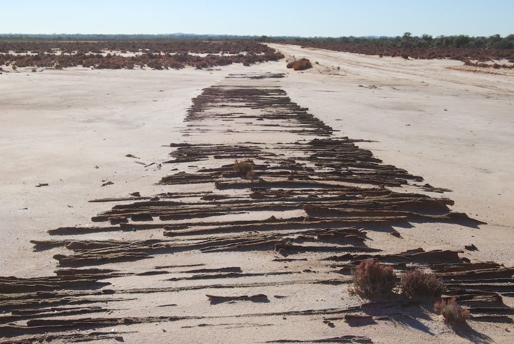
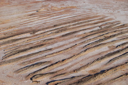
From the haul road it is a short, unremarkable drive to the Bullfinch Evanston Road. This took us south, through Lake Deborah East, to the settlement of Bullfinch. As a mining town it is a great wheat receival depot and the end result is a depressing mixture of shops that are closed and a pub that is up for sale. No orphan in WA’s wheatbelt in 2017.
-
- Road through Lake Deborah East.
-

- Lake Deborah East
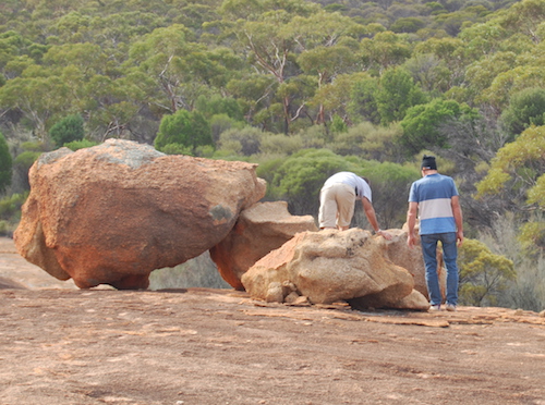
After lunch at Bullfinch we headed west and visited Lake Baladgie.
-

- Climbing the Rock with Lake Baladgie in the background.
-

- Climbing the Rock with Lake Baladgie in the background.
-

- East side of Baladgie Rock.
-

- Baladgie Rock
-
- Climbing Baladgie Rock.
From this point, everyone made their own way home.
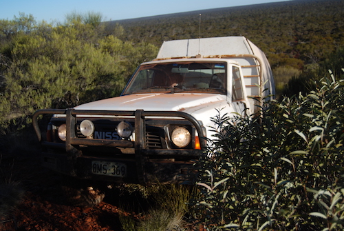
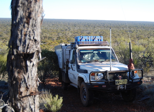
Greg and Margot Barndon – Holden Colorado Dual Cab Ute
Andrew Brooks – Nissan Patrol GQ Ute
Steve Cook – Toyota Landcruiser High Roof Camper
Nick and Carrie Crane – Nissan Patrol GU Wagon
Kerry Davies – Nissan Navara Dual Cab Ute
Phil DiNunzio – Toyota Landcruiser
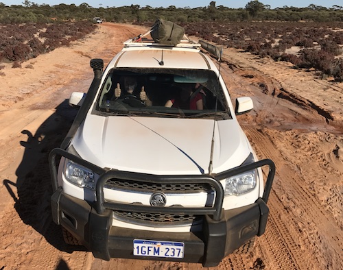
Kim Epton – Holden Rodeo Dual Cab Ute
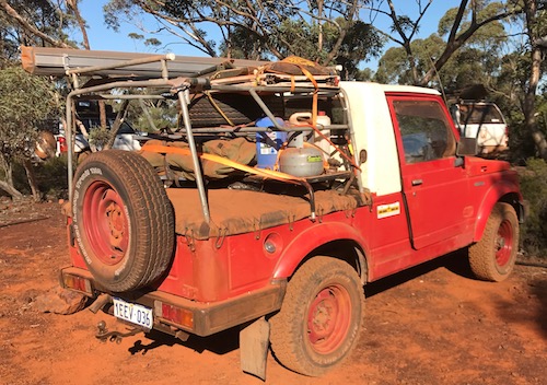
Cliff Hills – Suzuki Maruti LWB Ute
Stuart Kostera – Toyota Landcruiser Camper
Joe Natoli – Nissan Y62 Wagon
Scott Overstone – Suzuki Jimny Wagon
Tony and Cherry Overstone – Nissan Navara Dual Cab Ute
Text and layout by
Kim Epton
Photographs by
Cherry Overstone
Steve Cook
Phil Di Nunzio
Kim Epton
Cliff Hills
© Kim Epton 2017 – 2019
2745 words, 116 photographs.
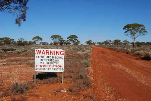
Feel free to use any part of this document but please do the right thing and give attribution. It will enhance the SEO of your website/blog and Adventures.
See Terms of Use