A feature of long distance trips is the number of ‘last minute’ withdrawals – and the Cape Le Grand to Cape Arid Road Trip was no exception.
An 820 kilometre drive just to get to start of a Trip is a daunting prospect for many and I salute those who made the effort.
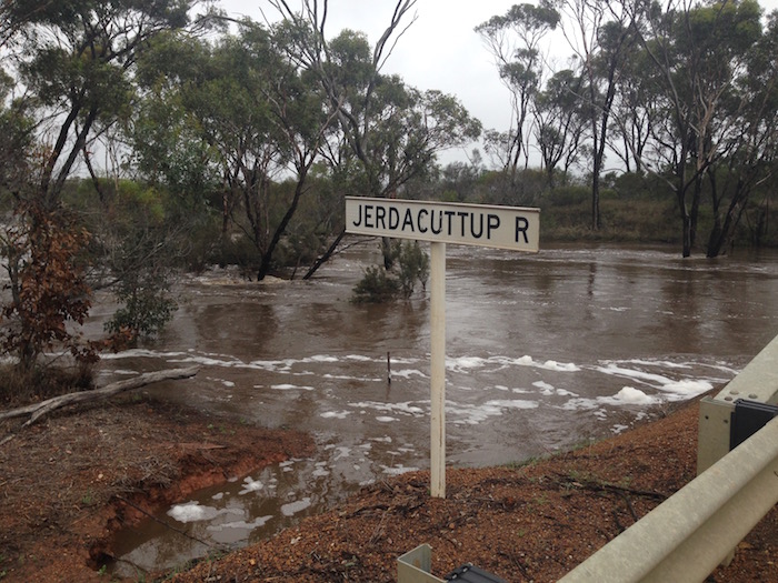
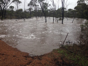
There was much to see along the way from Perth to Esperance and beyond, including the flooding of the Jerdacuttup River – the first time it had flowed like this in 40 years according to a local with whom I spoke.
- Jerdacuttup River
- The river is normally on a few metres wide when flowing.
- River in flood.
Rain had fallen around Condingup for three days prior to our arrival (easter 2016) – about 25mm – and about two weeks previously the area had received another 25mm. In consequence the country was looking very green. The trip out from Esperance along Merivale Road was an adventure, wet and slippery.
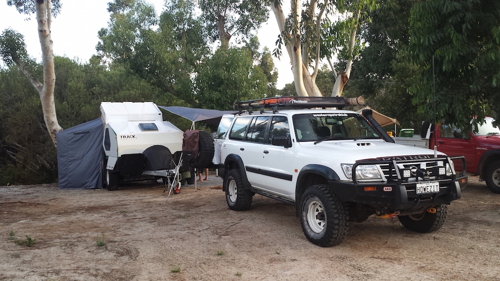
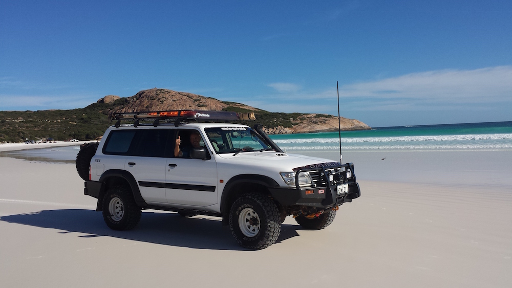
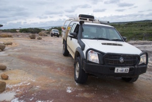
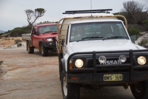
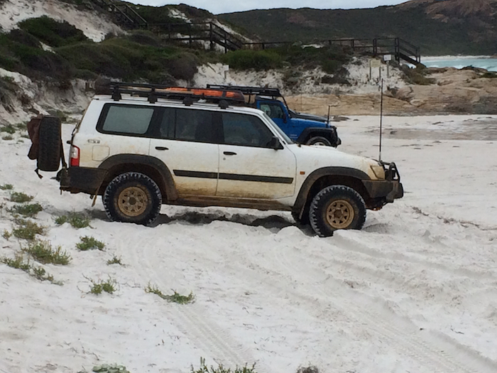
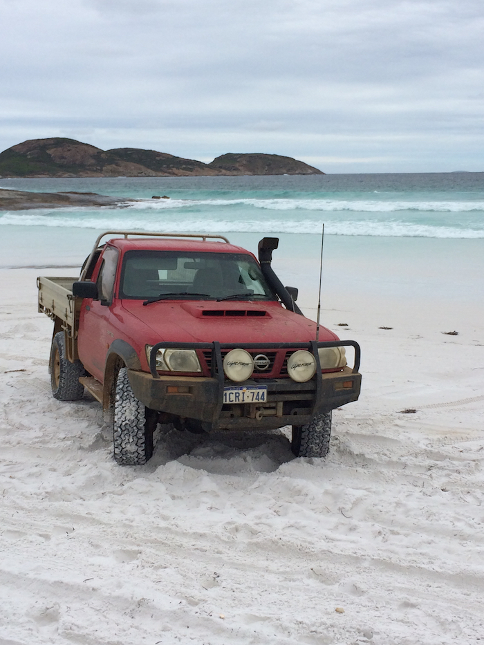
I had previously determined the RV point to be the Duke of Orleans Bay Caravan Park (The Duke) and around lunchtime on Friday Graham and Debbie arrived in their 4.2L turbo GU Patrol Wagon with a brand new TVan camper. Andrew arrived shortly after in his 4.2L naturally aspirated GQ trayback ute with canopy. Fish wasn’t far behind in his 4.2L turbo GU trayback ute.
- Graham and Debbie’s camp. #
I was driving a Holden Rodeo. 3.0L Ute. My 3.0L GU Patrol Wagon was totalled when a less-than-attentive driver come through a red light and slammed the vehicle through a 45 degree arc after hitting the right front fender (oh, the despair of sitting there watching the drama unfold and being able to do nothing about it).
After everyone set up camp it was time to do some exploring. So much to do, so little time.
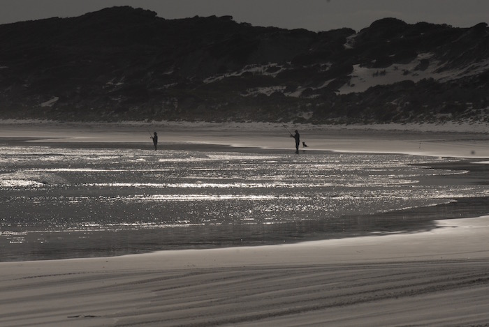
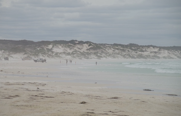
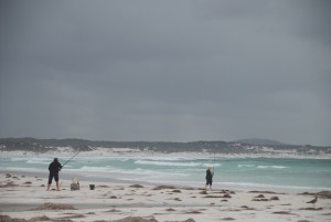
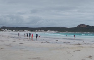
- Fishers at Wharton Beach.
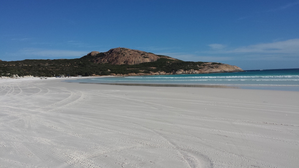
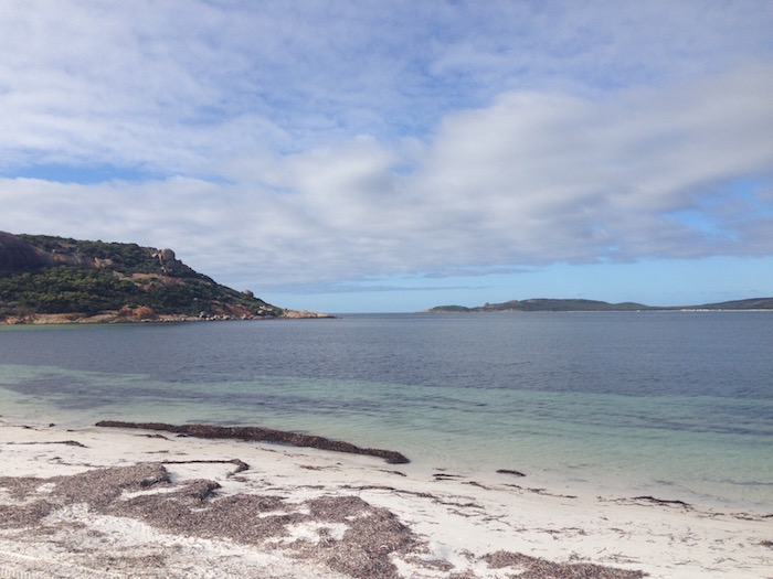
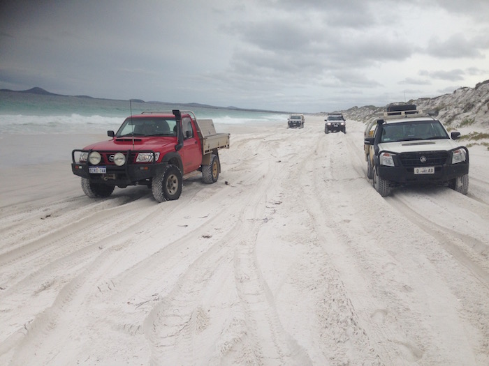
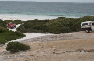
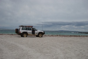
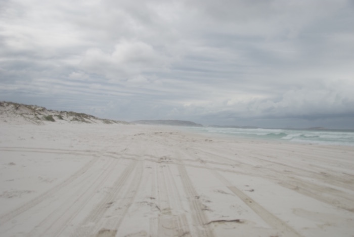
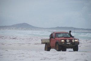
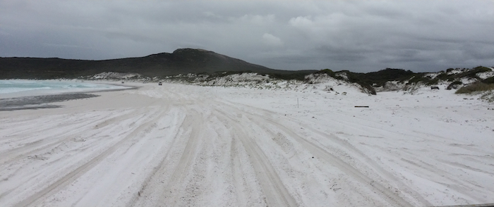
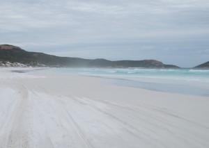
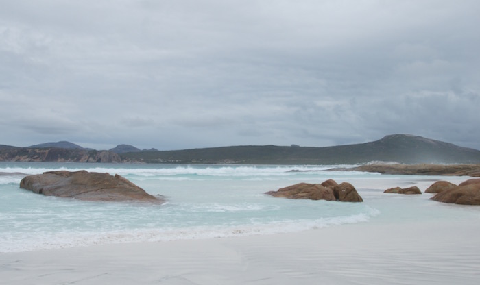
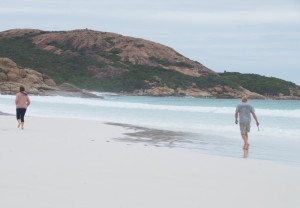
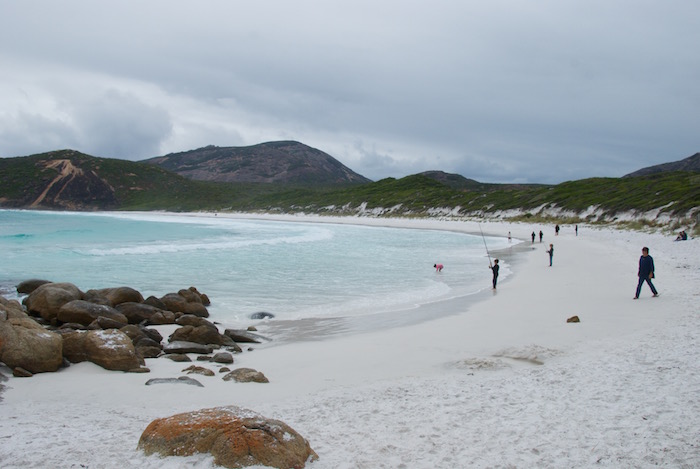
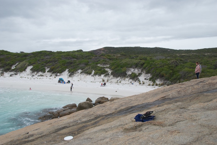
Wharton Beach is a glorious, wide open expanse of white sand only two kilometres from our holiday quarters, popular with fishers and four wheel drivers. It derives its name from Admiral Sir William Wharton, Hydrographer in the Royal Navy in 1887.
- The white sands of Wharton Beach. #
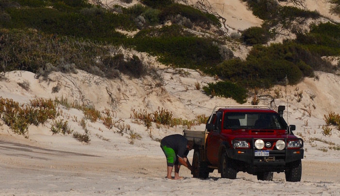
- Fish airing down.
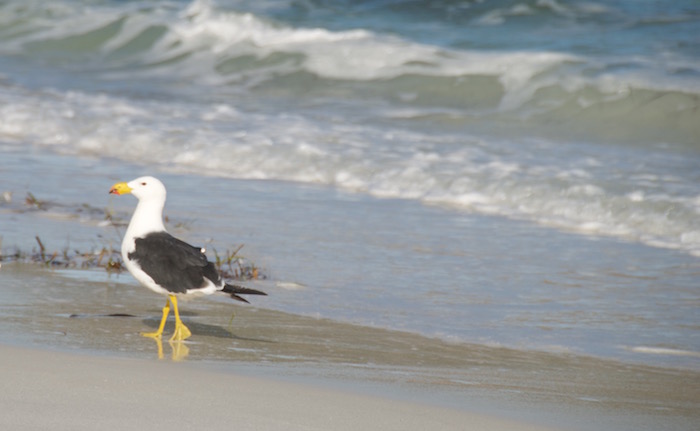
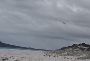
- A Pacific Gull on the beach.
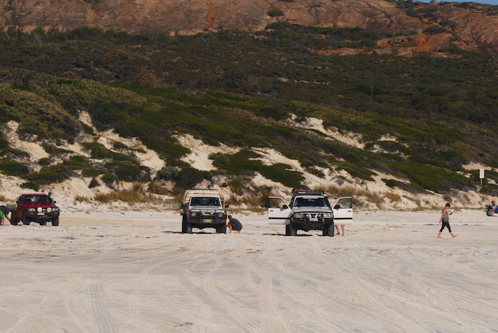
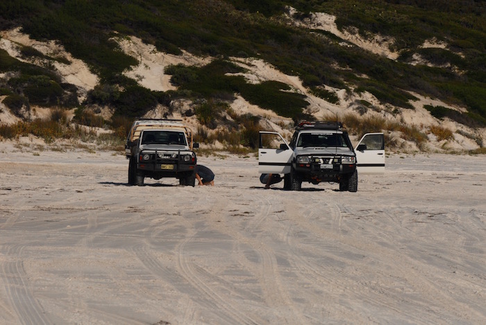
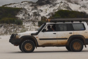
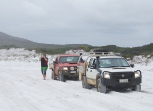
- Three Patrols
- Airing down.
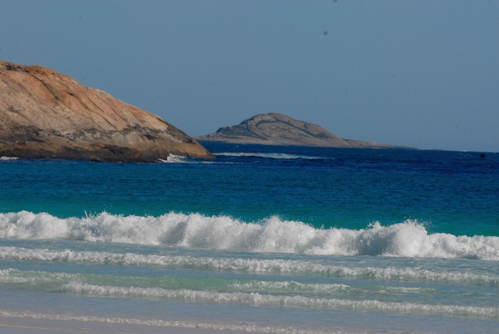
- Looking at Hammerhead.
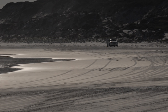
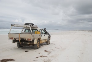
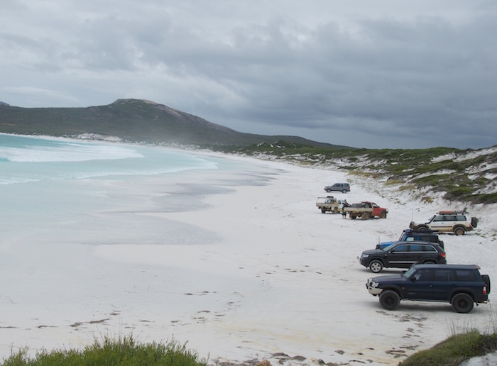
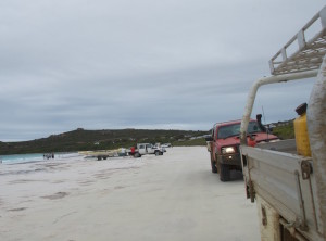
- 4WD on Wharton Beach.
After airing down we drove from one end of the beach to other and back again – about seven kilometres in total.
- On Wharton Beach. #
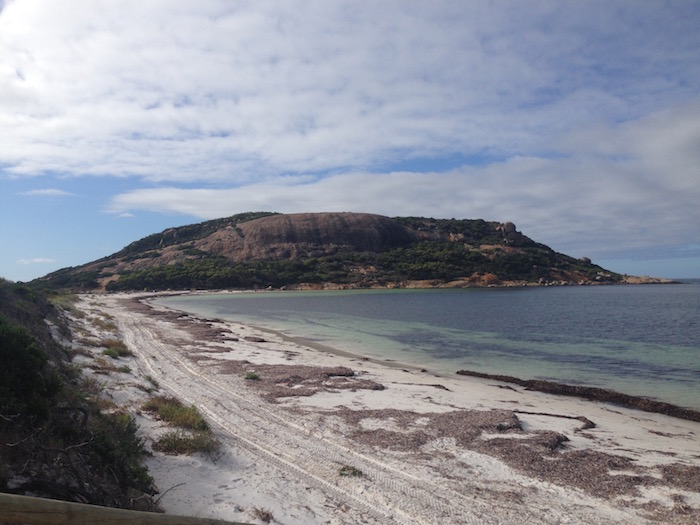
Leaving the tyres deflated we took the bitumen two kilometres to Orleans Bay. Past the headland at Orleans Bay the Dailey River blocks any further progress along the beach so we turned west back towards our temporary equinoctial habitation.
- Orleans Bay beach
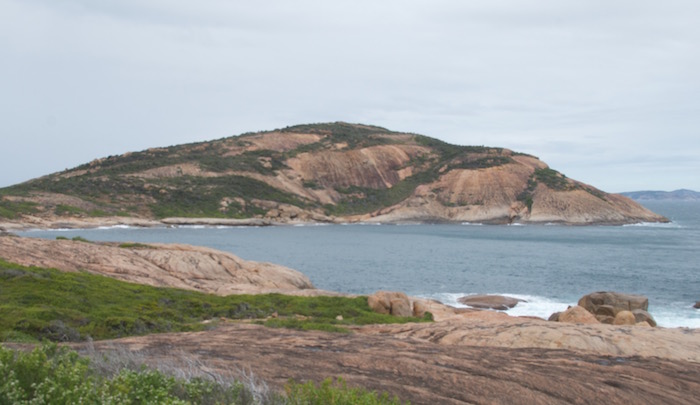
- Headland near Dailey River.
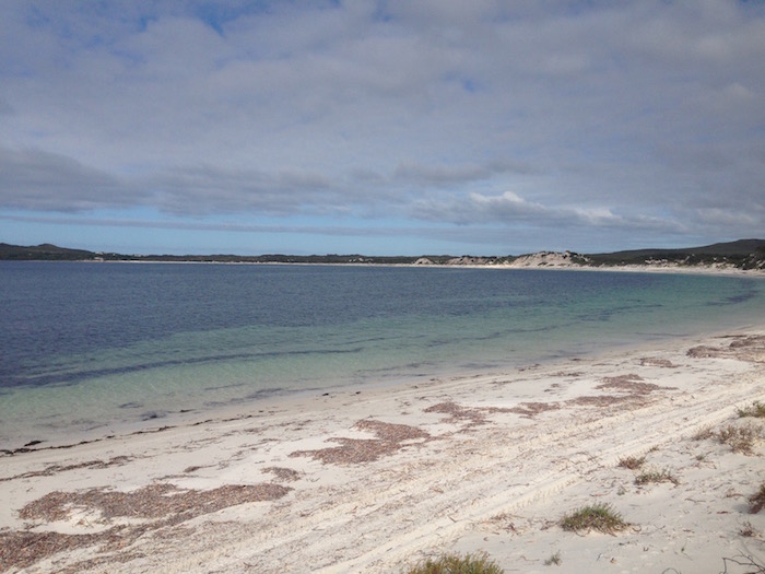
- Drive along Orleans Bay.
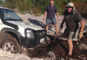
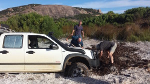
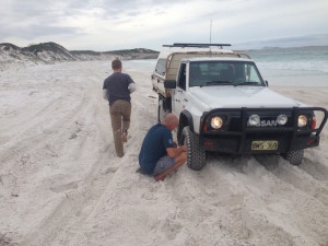
There is a first for everything and this was the first time I have been bogged in seaweed. One reads about this trap on beaches for the unwary – this well disguised patch was to the left of a clearly defined track away from the beach. As soon as I was into it I knew I wasn’t going anywhere. Switch off and alight from the vehicle.
“Graham, can you give me a tow please?”
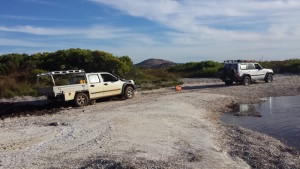
The first task was to find the tow point. After some minutes of ‘digging’ Andrew located the required fitment and attached a shackle and snatch strap. The trapped Rodeo was extracted.
- Soft seawood. #
- Hard work shifting seaweed *
- Trying to find the recovery point. #
- It’s out. #
The track away from the Dailey River leads back to Orleans Bay and we headed west, towards our easter establishment. Graham, now in front, spied some dunes off the beach and with plenty of daylight remaining it was too good an opportunity to drive past.
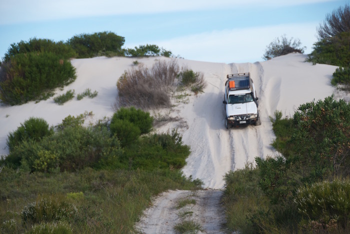
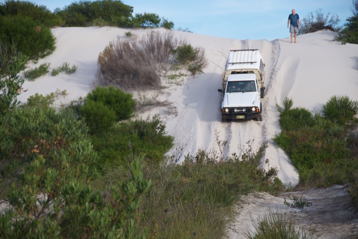
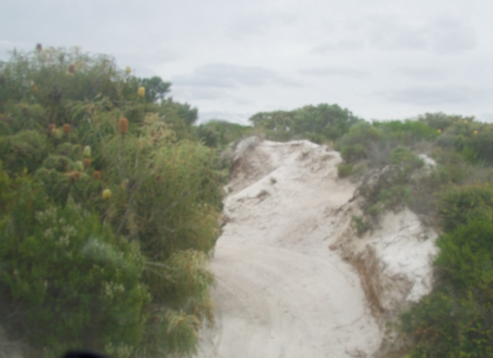
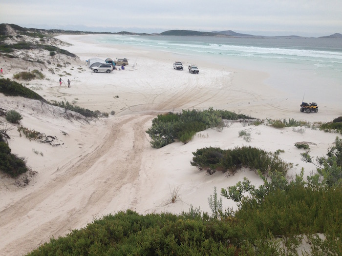
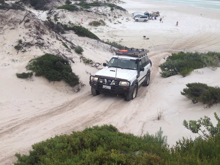
After we all drove into the playground I saw a track to the north-west that looked interesting, so rather than return to the beach I thought this would be a better option. I had just been bogged so why not find a bit more adventure! I aimed the Rodeo up the long, steep slope and, as I crested the hill, the ground disappeared from under me. A steep but fairly short descent presented itself.
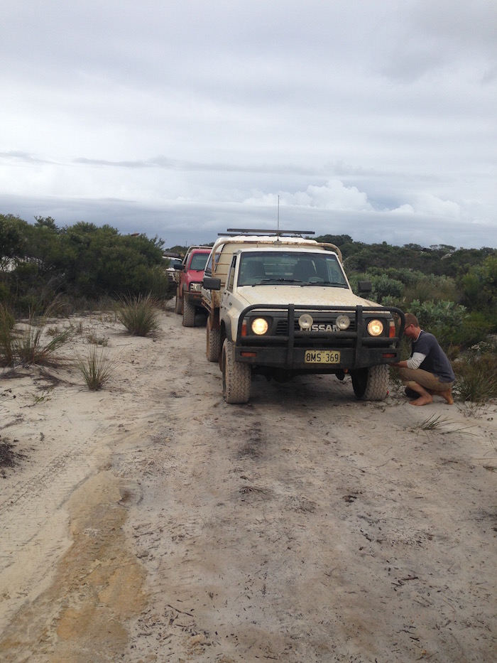
Andrew in the naturally aspirated GQ had some difficulty making it to the crest but, like with most situations on beaches (and similar sand), it was merely a matter of tyre pressure. A few minutes of airing down allowed him to experience the steep drop off out of the dunes rather than limp lamely back along to beach to our autumnal abode.
- Fish’s turn.
- Graham drives down the dune.
- And then watches Andrew do the same.
From here it was only just over a kilometre back to our fugacious residence by the sea. Strangely, not many lies were told about our numerous adventures when we gathered for a few drinks and discussions later in the evening.
Friday was just a taster for our big trip to Cape Arid!
TO CAPE ARID
We headed out from our home away from home at the very civilised hour of eight in the morning. The track off the Orleans Bay Road, to skirt the Dailey River, took us to Orleans Bay Beach. After a six kilometre run along the beach our forward progress was blocked by rocky outcrops and we needed to exit to Daniels Road so we could get to the next beach.
- MaxTrax under the GQ.
- Deflating tyres on the GQ.
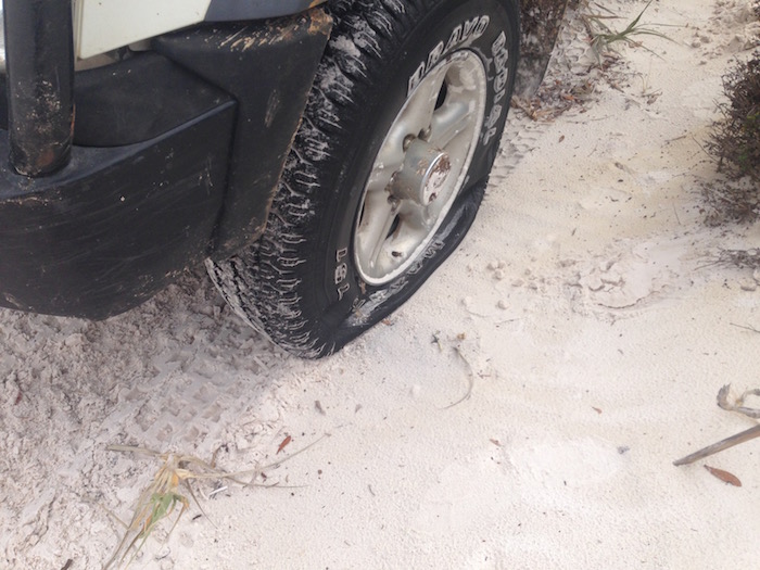
Easier said than done. Andrew had a few attempts at getting up the slope and, after releasing more and more air, was successful. All vehicles were at the top when, on returning to my ute, I noticed the left front tyre was flat. Sand and seaweed had got into the bead.
- Flat tyre on the Rodeo at the exit to Daniels Road
- Kim changing wheel. #
Changed the wheel and took Daniels Road to the next beach. After travelling about four kilometres along this beach I realised that the time lost in getting off the previous beach and changing the flat would not allow us to make Cape Arid in daylight – so we had to ‘cut and run’.
French explorer Bruny D’Entrecasteaux named Cape Arid in 1792 while exploring Western Australia’s southern coast in his ships La Recherché and L’Esperance, although he recorded it as ‘Cap Arride’. It was left to Matthew Flinders to anglicise it to ‘Cape Arid’ during his circumnavigation of Australia in 1802. The legacy of D’Entrecasteaux and his ships lives on in the Recherché Archipelago, D’Entrecasteaux National Park and, of course, the town of Esperance.
- Heading east past Munglinup Creek.
We returned to Daniels Road, then out to Merivale Road and back to the beach via Alexander Road.
Spectacular Alexander Bay – named after Alexander Forrest who with his brother John made an epic journey from Perth to Adelaide in 1870. They camped on the banks of the Alexander River (which runs into Alexander Bay) on 3 May, describing it as ‘a brackish stream’.
- Alexander Bay from Alexander Road
- Graham is last onto the beach
- Alexander Bay
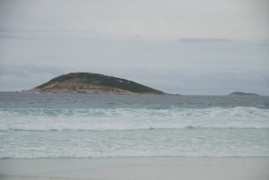
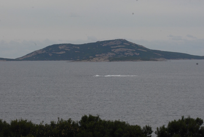
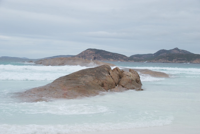
- Ben Island in Alexander Bay
- Inshore Island at Alexander Bay
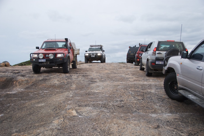
Five kilometres along the beach we had to climb around a small headland to continue the push eastward. At the end of the Bay we had to climb rocks to get to the next beach. There was a group of six vehicles coming the opposite way.
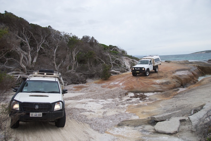
- Graham takes his Patrol up Alexander Point
- Passing traffic
- Keep Left doesn’t apply on rocks
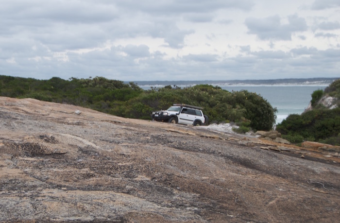
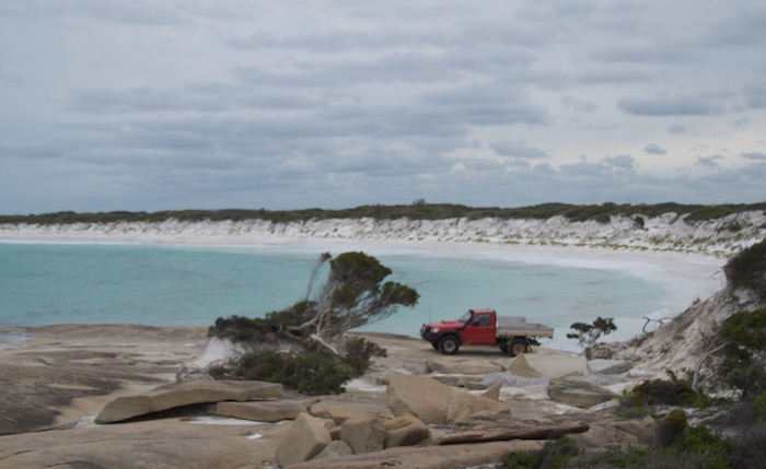
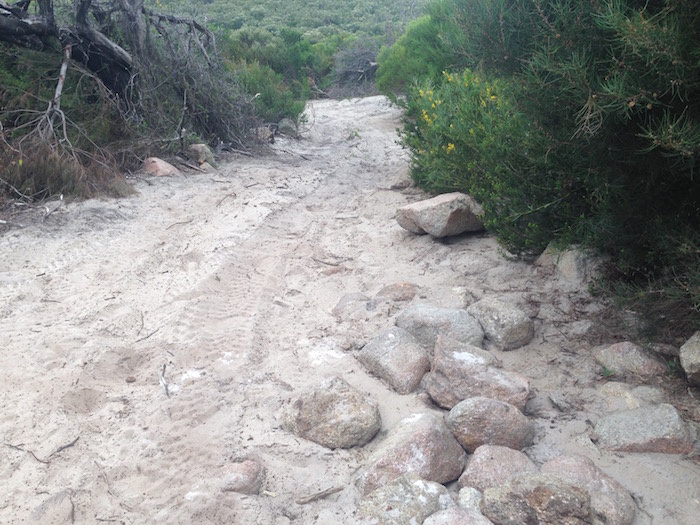
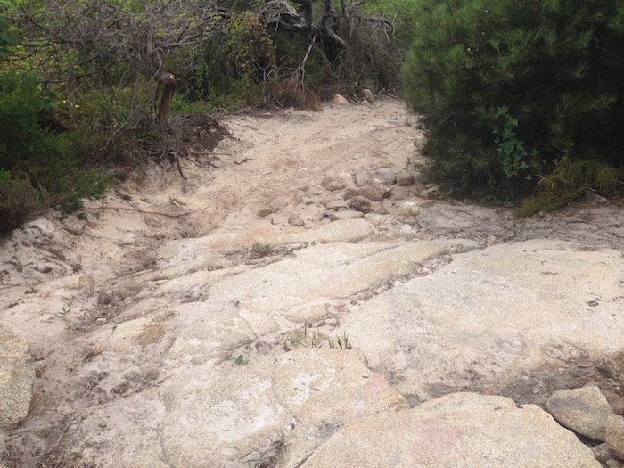
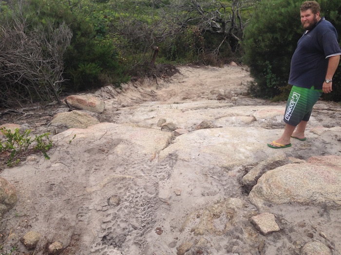
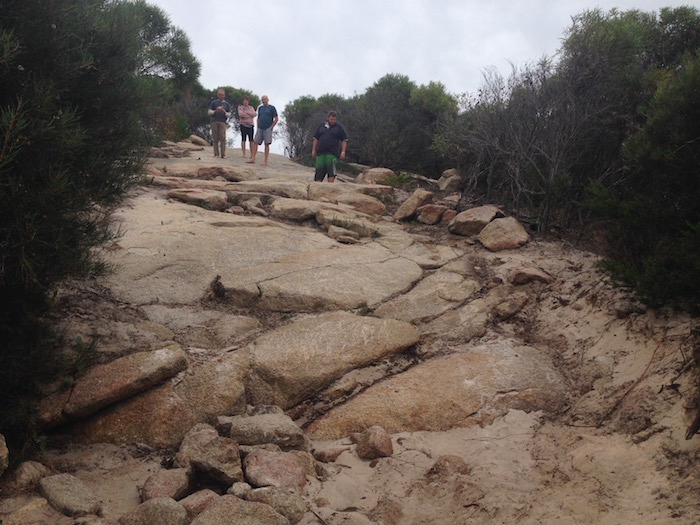
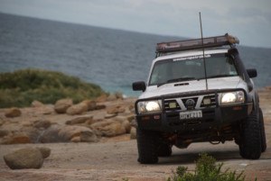
We dropped down onto a small beach past Alexander Point and travelled for about a kilometre where we were presented with another rock climb. It was easy to start with. As we commenced the trip up the rocks we met some vehicles returning. When we got to the top of the ridge we knew why they returned – for the same reasons we turned around. The track down the side of the ridge requires lock diffs, large tyres, sill protection and lots of grunt to get back up.
- Leaving Alexander Point Bay
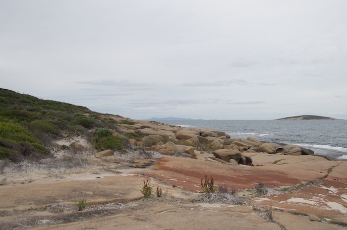
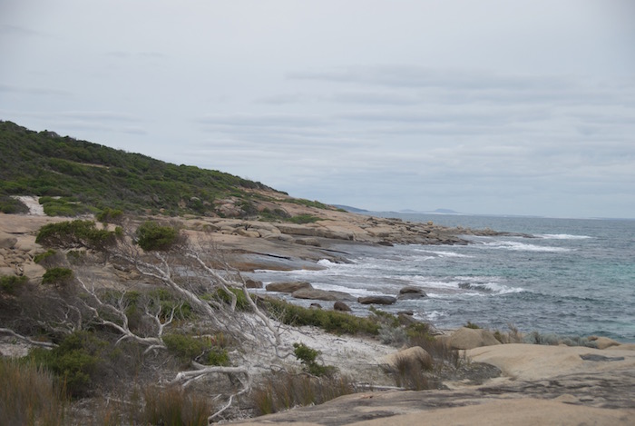
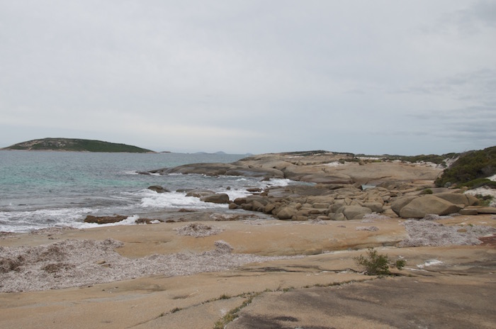
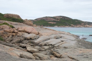
- Rocky coast at Alexander Hill.
- At the base of Alexander Hill ridge.
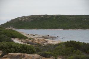
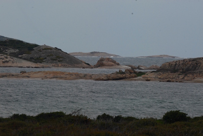
- Inshore Island
- Alexander Point Bay #
- Trying to follow the path on Alexander Hill Ridge
- Debbie at the top of Alexander Hill Ridge
- Looking past West Rock from Alexander Hill Ridge
- Looking at Alexander Point Bay from the Ridge
- Quad bike riders had traversed the slope.
- Too much of a challenge getting back up.
- Fish at the top of dropoff.
- Showstopper
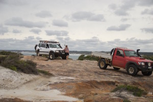
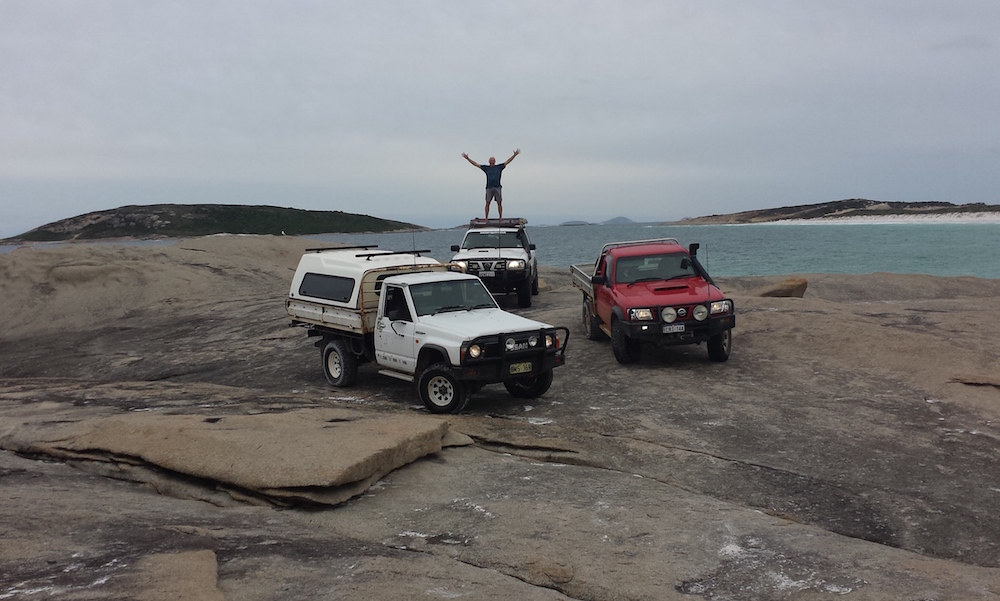
- Three Patrols and someone happy. #
- Graham at Alexander Point Ridge. #
- Debbie at Alexander Point Ridge. #
- Returning from Alexander Hill Ridge
After a short run back along Alexander Point Beach we drove back over the headland that is Alexander Point and dropped down into Alexander Bay.
- Andrew drives his GQ up the headland
- Fish’s turn
- Waiting for Graham
- Howezit
- Track back to beach after going around Alexander Point.
Stymied by the ugly dropoff, the plan was now to return to Alexander Road and then head on to Merivale Road and make our way to Cape Arid. But before we could do that we had to get around the headland partway along Alexander Bay.
- Andrew and Graham at the base of the headland.
- Graham starts his climb off the beach.
- Graham makes it to the top.
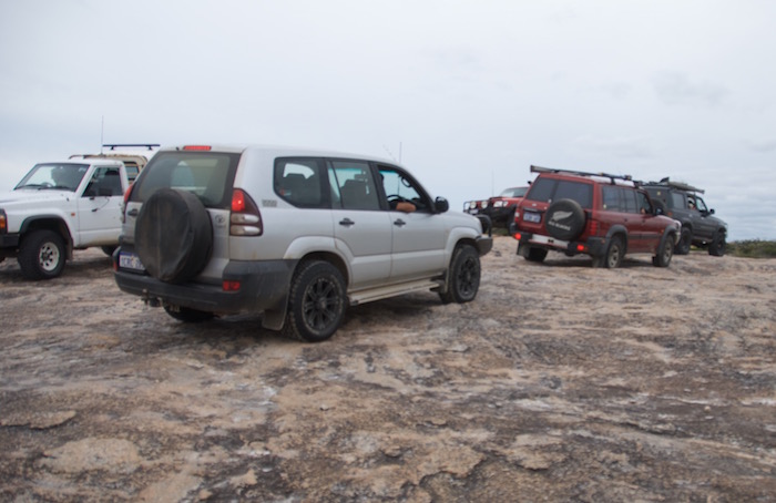
- All vehicles at the top.
It was a 10 kilometre run out to Merivale Road and then a 46 kilometre drive east to Poison Creek Road – the track into Cape Arid. Merivale Road deteriorates into a badly corrugated 4WD track after Grewer Road. It was mid afternoon when we turned onto Poison Creek Road – a 22 kilometres drive on a winding gravel road to the ocean. Disappointingly, the track to Cape Arid was closed as a result of dieback. Poison Creek Beach is less than impressive in comparison to some of the wonderful beaches we had driven on throughout the day and there was no compelling reason to stay so we started the long journey back to our aquatic address at The Duke.
- Poison Creek Beach Cape Arid NP
- Poison Creek Cape Arid NP
Not wishing to experience 10 or so kilometres of bone jarring corrugations on the previously traversed, rough section of Merivale Road we headed seven kilometres north to connect with Fisheries Road. It was then 60 kilometres into Condingup where everyone refuelled and Fish replenished vital supplies.
The settlement of Condingup came into existence when the area was opened up for agricultural development in the early 1960s. It is a small service centre for properties that extend 100 kilometres to the east, 50 kilometres to the north and north-east, and west to Esperance. The name is thought to be derived from the aboriginal word ‘Kunjinup’, a local wildflower.
Suitably provisioned, we headed south on the bitumen to our selected site at the seashore.
This morning’s civilised departure hour was complemented by an equally civilised drink o’clock return.
TO CAPE LE GRAND
Rain threatened but, unlike virtually all of south western Australia during the easter break, we saw no rain to speak of until the weekend was nearly over.
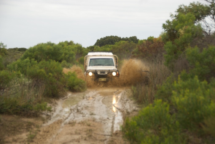
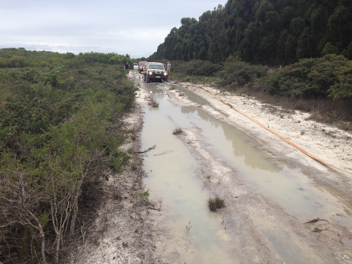
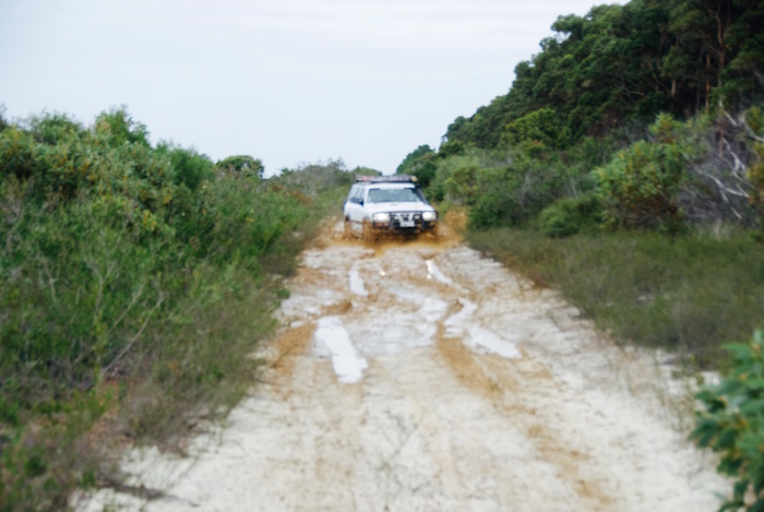
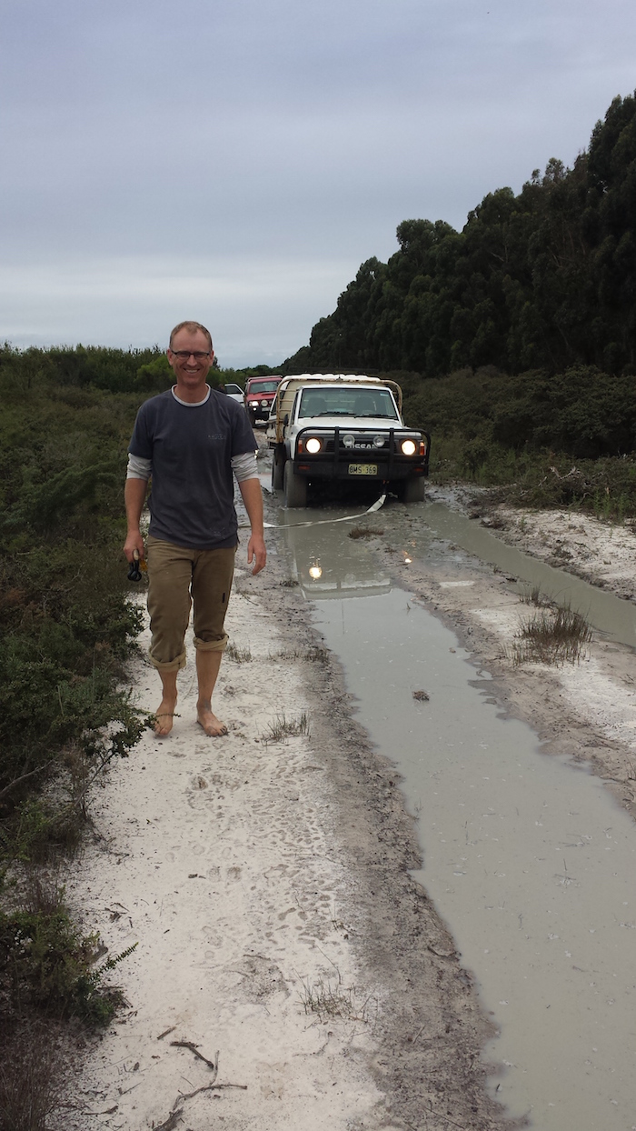
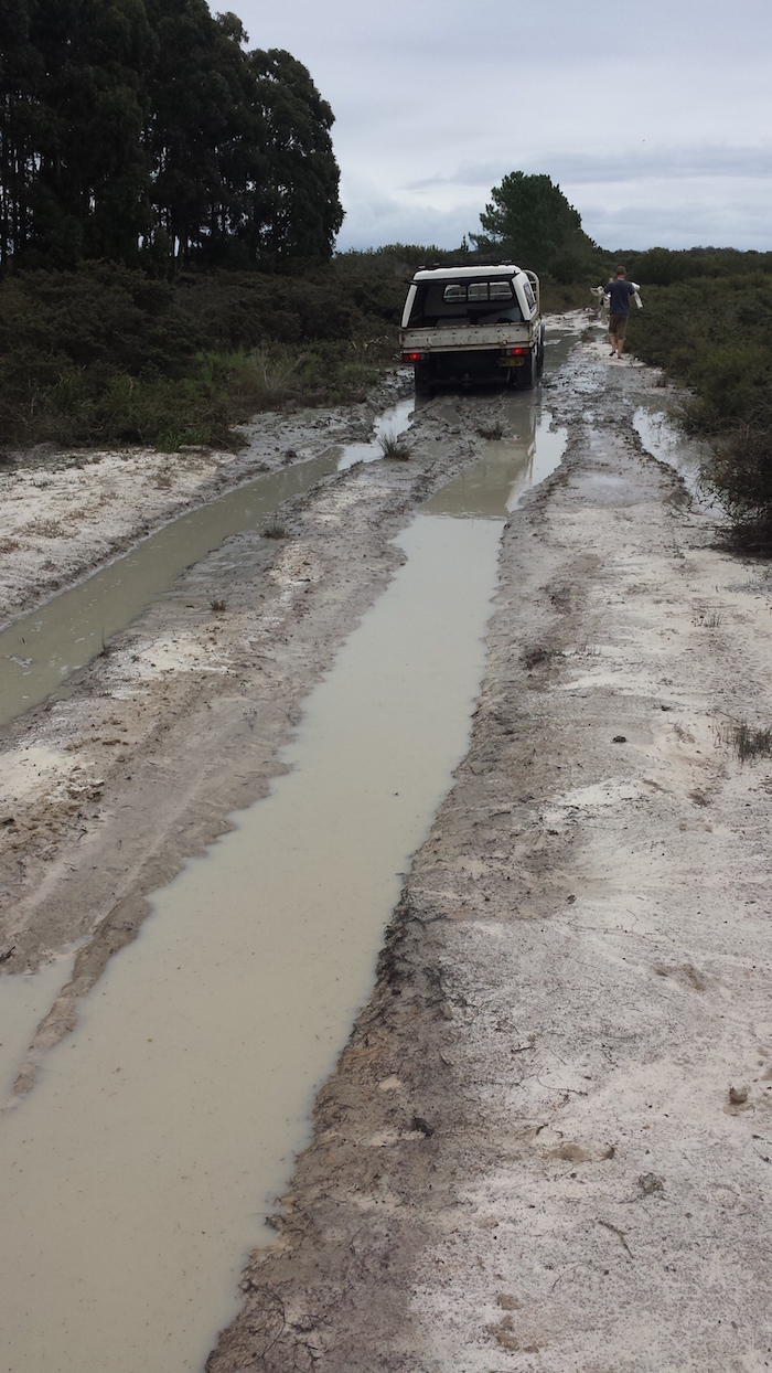
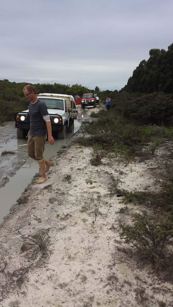
Heading north out of our domicile at The Duke I spotted a shortcut into Victoria Harbour (eastern end of the Cape Le Grand NP). Now, I know that the perceived wisdom is that all shortcuts end in some form of disaster! Well, this one was no different. The track was very overgrown (first indicator). The opportunity to try out the snatch straps presented itself almost immediately in the form of a mud hole and I suppose the more judicious action would have been to turn around at that point while the bitumen was still virtually in sight. But we had all day.
- Little bit overgrown. #
- Andrew through the water
- Another workout for the GQ
- Graham’s turn
- Andrew checks out his options. #
- Fun time. #
- Andrew surveys the best way forward. #
After a couple more bog holes we seemed to be heading south instead of west. The track to the coast was non-existent – but the track ahead was a 100 metre long bog hole. What luck. After successfully negotiating that obstacle it was clear that the track was now taking us east.
- On the shortcut. #
A few more bog holes and we were back on the bitumen, two kilometres from our start point. The eight kilometre bitumen to bitumen sortie was a concentrated lesson in dealing with sloppy mudholes and water across the track. Once back on the bitumen it was time to restart the expedition.
We turned off Merivale Road at Saddleback Road, ignoring the ‘No Through Road’ sign.
- Deflating tyres prior to heading down to Dunn Beach
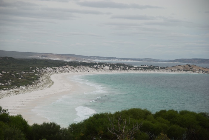
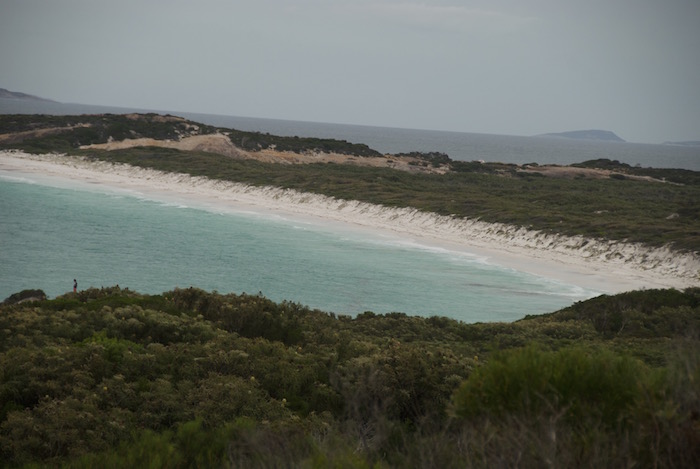
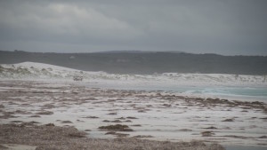
Dunn Beach is another stunningly beautiful, wide, white expanse of sand by the sea.
- Dunn Beach in Rossiter Bay
- Andrew, Fish and Graham and Debbie on Dunn Beach
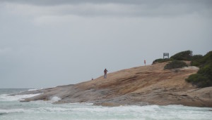
- Dunn Rocks, named after an early farmer in the district
- Rossiter Bay before Dunn Rocks
- Dunn Rock fishers
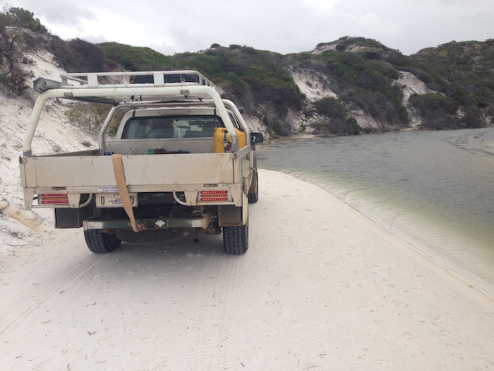
- Unnamed creek just after accessing the beach
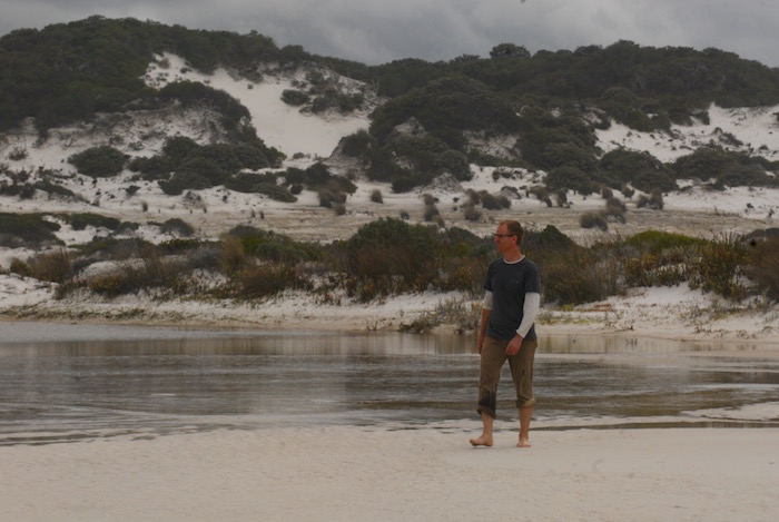
- Andrew at Rossiter Bay Creek.
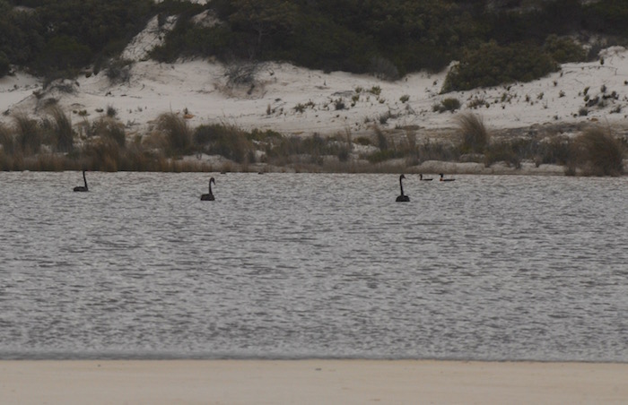
- Black swans on the freshwater creek.
- Unnamed island in Rossiter Bay.
- Inshore islands.
- Rossiter Bay beach
- Rossiter Bay
We continued along the beach toward Mississippi Hill – a geographically incongruous name unless one knows its derivation. It was here that, towards the end of his epic and tragic transcontinental journey in 1841, a distraught John Eyre located the French whaler Mississippi at anchor. Read more about this fascinating tale here.
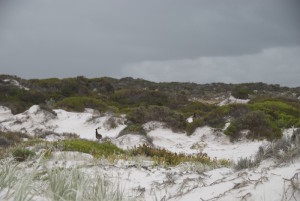
- Emu
- Hopeful fishers.
- At unnamed freshwater creek yet to break through to the ocean.
- Hopeful fishers.
- Fish’s ute.
- Sea Eagle
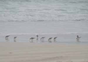
- Terns
- Graham and Debbie on the beach in Rossiter Bay.
- Kim’s Rodeo – flat tyre from previous day on roof rack.
Rossiter Bay is the largest bay in Cape Le Grand National Park. It is stunning. Lots of birds, fishers, campers and four wheel drivers.
As we got to the end of the bay, intending to make a short hop over to Lucky Bay, Andrew came up on the UHF stating that he had an oil pressure problem. In the Rossiter Bay parking area we all were scratching our heads as to why his oil warning light was on yet his oil pressure was up, and according to the dipstick the engine had a full sump of oil.
We surmised that it was either a blocked oil filter or faulty oil sender.
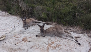
Our convoy drove slowly over to Lucky Bay and left the GQ in the parking area while we explored the beach. Tourists and kangaroos were everywhere.
- Skippies at Lucky Bay. #
- Debbie and friend. #
- The white sands of Lucky Bay. *
- Graham and Debbie at Lucky Bay. *
- Fish’s ute at Lucky Bay.
- Lucky Bay
- Lucky Bay
- Lucky Bay
- Eastern End of Lucky Bay
- Lucky Bay
- Lucky Bay
- Lucky Bay
- Fishers on rock.
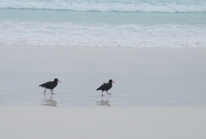
- Oystercatcher?
- Lucky Bay
- Sooty Oystercatchers at Lucky Bay.
- Lucky Bay tourists.
- Fish taking photo.
- Rodeo and GU Ute at Lucky Bay.
I drove up to near the Frenchman Peak Lookout and stood on my roofrack to get a phone signal so I could talk to a mate who runs a trucking company. He later sent a text diagnosing faulty sender and that the vehicle was ok to drive. Andrew drove steadily back to our camp and made it back to Perth without incident the next day.
- Graham and Debbie at Lucky Bay.
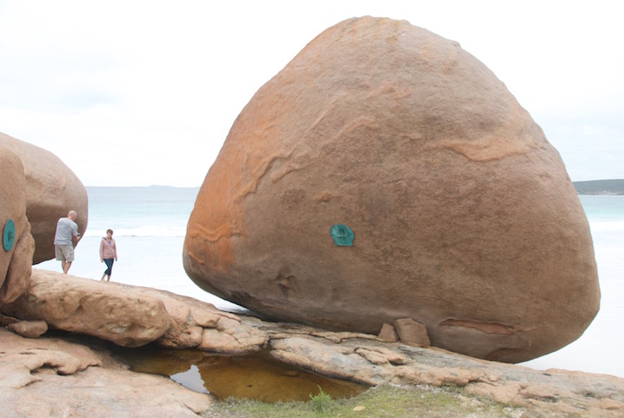
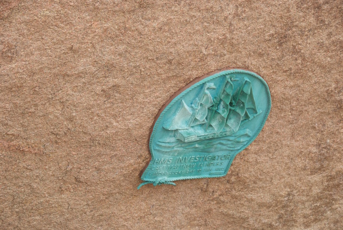
- Plaque commemorating Flinders landing in Lucky Bay in 1802.
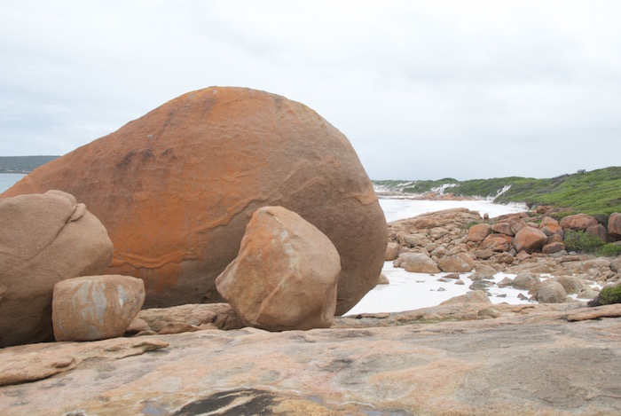
- At Lucky Bay.
Tyres up, tyres down, Lucky Bay. Tyres up, Thistle Cove, Hellfire Bay, tyres down, Cape Le Grand Beach.
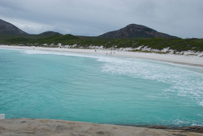
The beach at Thistle Cove is not accessible for vehicles so we had to be content with the stunning views.
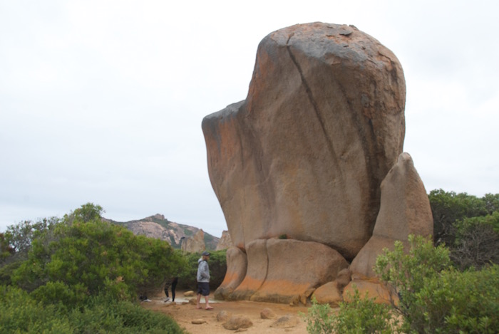
- Whistling Rock at Thistle Cove.
- Thistle Cove.
- Thistle Cove.
- Thistle Cove.
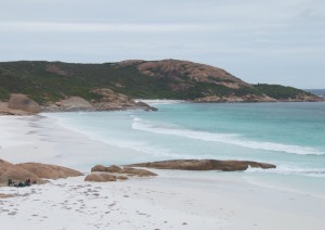
Hellfire Bay is thought to have been named after St Elmo’s fire – a bluish flame-like electrical discharge that sometimes occurs above ships’ masts.
- Another stunning white beach.
- Hellfire Bay
- Hellfire Bay beach
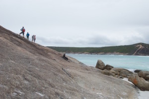
- Rock face at the eastern side of Hellfire Bay.
- Hellfire Bay rock face.
In between inflating and deflating tyres and trying to make phone calls/text messages to sort out Andrew’s issues we made our way to Cape Le Grand Beach.
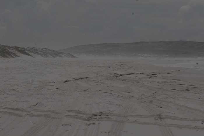
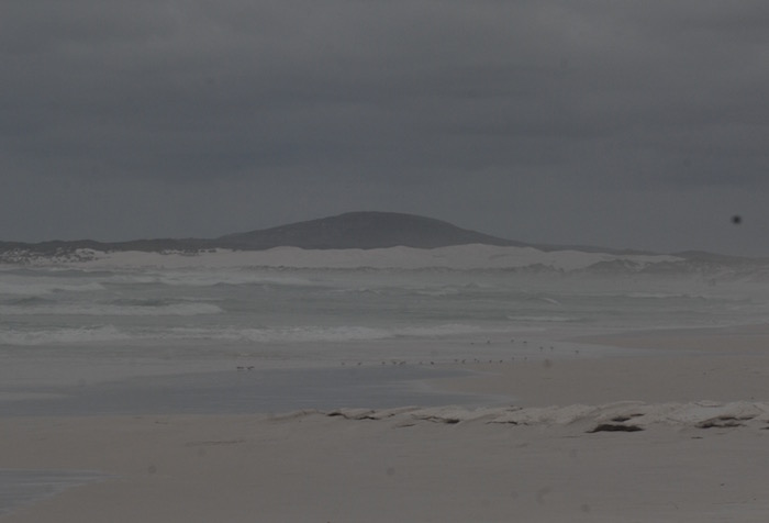
The drive along the beach from Cape Le Grand to Wylie Head is 22 kilometres of hard packed white sand. The journey could easily be achieved in a 2WD sedan.
- At the Wylie Head end of Cape Le Grand Beach.
- Close to Wylie Head on Cape Le Grand Beach.
After driving back along the beach to Cape Le Grand we made our way back to our temporary domicile via Merivale Road. Lots of surface water and mud. It had rained at our sojourn site by the sea while we were away four wheel driving and being tourists.
- At The Duke. #
Next morning Andrew and Kim returned to Perth, Graham and Debbie moved into Esperance and Fish stayed at the Duke to do some fishing and swimming at Wharton Bay.
Our Cape to Cape Road Trip was predominantly about beaches – beautiful, stunning, accessible beaches. See more of our many other trips to spectacular beaches.
© Kim Epton 2016-2024
2832 words, 130 photographs.
Feel free to use any part of this document but please do the right thing and give attribution to adventures.net.au. It will enhance the SEO of your website/blog and Adventures.
See Terms of Use.

