
-

- Karijini to Mount Augustus Map.
We left Karijini for Tom Price to refuel and restock.
-
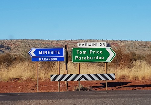
- We turned right.
-
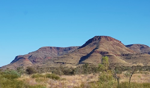
- Mount Bruce, the second highest peak in Western Australia.
-
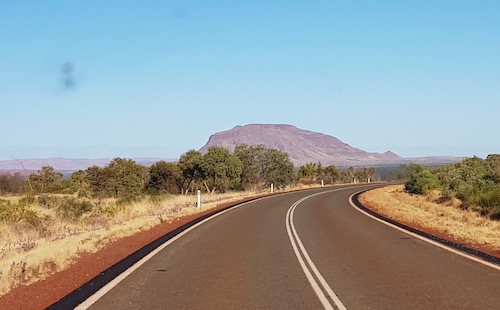
- On the road to Tom Price.
-

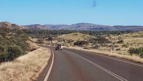
- On the way to Tom Price.
-
- On the way to Tom Price.
Trains are the lifeblood of the Pilbara.
-
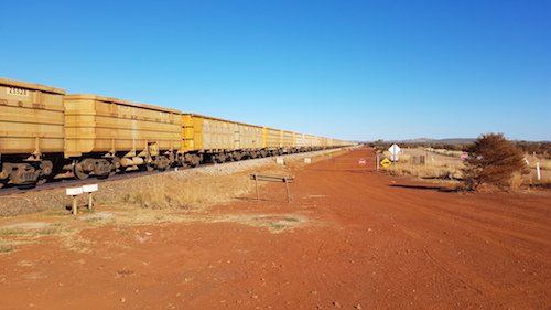
- Ore train on the Hamersley Railway encountered on the way to Tom Price. Trains like this take iron ore from Tom Price to the port of Dampier. An iron ore train may consist of up to 236 wagons, each having a load capacity of up to 106 tonnes. Trains are up to 2.4 kilometres long and, fully loaded, weigh approximately 29,500 tonnes.
-
- Waiting for train to pass.
-
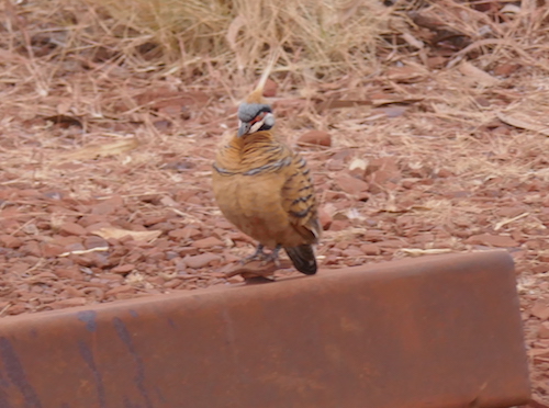
- Spinifex Pigeon
A tight schedule left little time to explore Tom Price – at 750m above sea level it is Western Australia’s highest town.
-
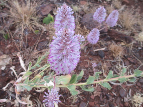
- Tall Mulla Mulla near Tom Price.
The name for the town came into being when mining company Rio Tinto Southern Pty Ltd proposed that the town be named after their late employee Mr Tom Price who was involved in negotiations to develop iron ore projects in the region in the early 1960s.
-
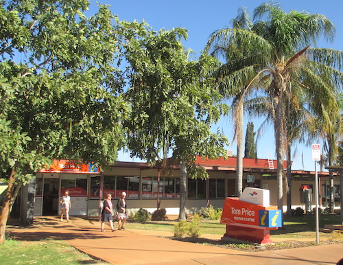
- Tom Price
We rendezvoused at the only servo in town and made our way to Mount Nameless.
-
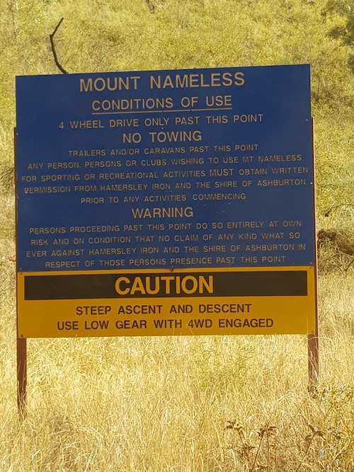
- At the beginning of the drive up the hill.
-
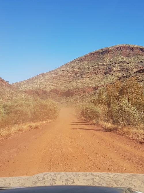
- On the way up Mount Nameless.
-

- Near the summit.
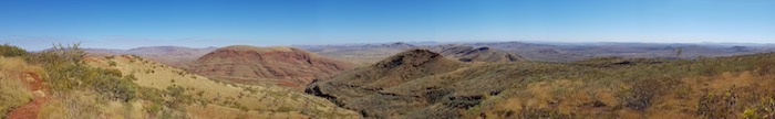
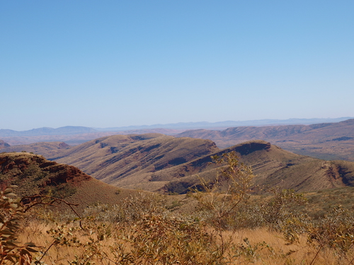
Fortunately the small turnaround at the summit was big enough for our convoy. Great views of the surrounding country, including the Rio Tinto’s Mount Tom Price Mine, operating since 1966.
-
- View from the summit of Mount Nameless.
-

- Mount Tom Price mine.
-
- From the summit of Mount Nameless.
-

- From Mt Nameless.
-
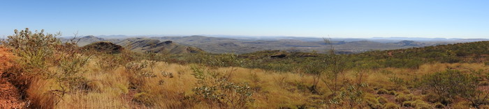
- Pilbara from Mount Nameless.
-
- Descending Mount Nameless.
-
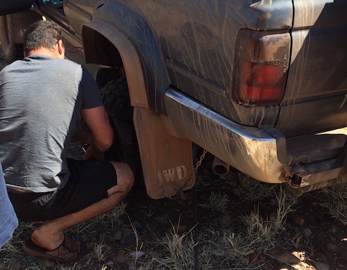
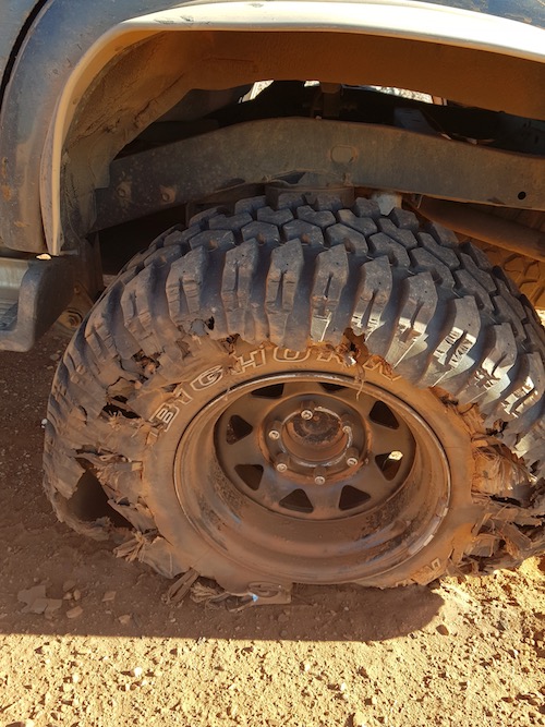
- The first of Eugene’s flats.
-
- A short time later another tyre was shredded.
-
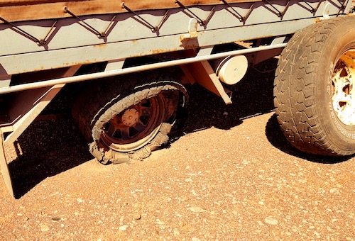
- Now the trailer.
Eugene was out of tyres, however, we were confident that, with some stuffing around, we could use tyres from the trailer to ensure he got to a tyre outlet.
-
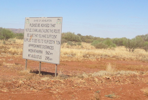
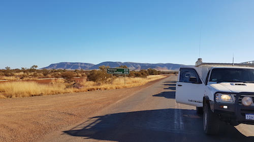
- On the Ashburton Downs-Meekatharra Road just after turning off the Nanutarra-Wittenoom Road.
On a previous trip in 2014 this road was closed so it was to be our first time accessing Mount Augustus from this direction.
-
- The Ashburton River near the station homestead.
-
- Near Ashburton Downs homestead.
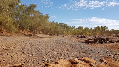
We stopped for lunch at a playa a few kilometres from the Ashburton River.
-

- Lunch along the road.
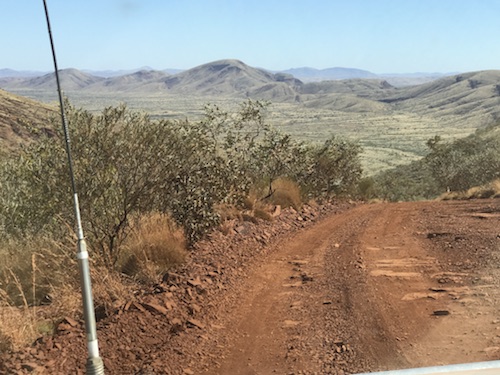
It was to be a race to get to Mount Augustus before daylight left us. The Ashburton Meekatharra Road and the Pingandy Mount Augustus Road both had reputations for being harsh on tyres. In our case, totally untrue.
The track was interesting and demanded all of one’s attention even without the added difficulty of driving into a setting sun. Dips, gutters, twists, turns, bends and a slippery surface all made for a great drive that would have been so much better in daylight.
-
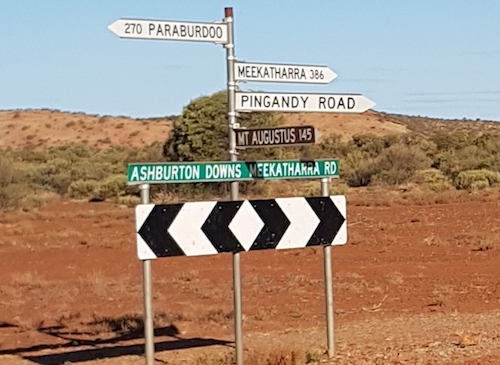
- At the intersection of Ashburton Meekatharra Road and Pingandy Road.
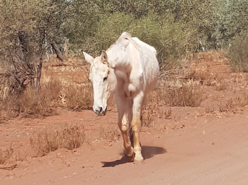
Scott was at the rear of the convoy and took the opportunity to stop at the abandoned Pingandy homestead/outstation.
-

- Abandoned Pingandy homestead.
-
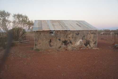
- Breeze shed at Pingandy.
-
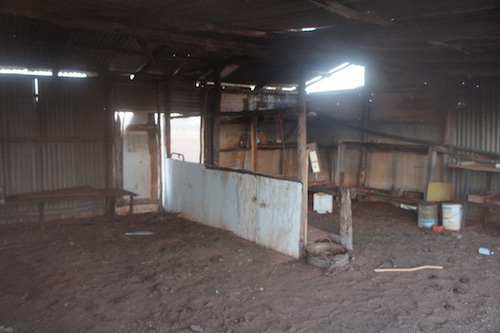
- Abandoned shed at Pingandy.
On arrival at the caravan park we were allocated sites in the scrub on the edge of caravan park. May as well have set up camp in the bush an hour earlier.
-
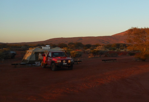
- Aaron’s camp at Mount Augustus.
-
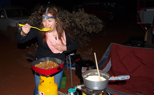
- Carrie cooking.
But the showers were appreciated.
-

- Kim, Garry and Aaron.
-

- Around the campfire at Mount Augustus.