
In 2014 Easter Sunday fell on 20 April and with Anzac Day on 25 April it allowed a ten day break, 17 to 27 April, by taking off just three working days. Just long enough to make a visit to world class Karijini National Park, 1500 kilometres north of Perth.
From Perth we planned to head east to Hyden on the Thursday evening before easter, giving us a 350 kilometre start on our adventure on Friday morning. We planned to see the preliminary race (the Prologue) of Round One of the Australian Offroad Racing Championship at Kalgoorlie.
After the racing we would head north to Newman, visiting the Lake Ballard Sculptures and Sandstone along the way before our main destination – Karijini National Park.
The return journey was to be through Mount Augustus, the world’s largest rock, and then on to the remote Kennedy Ranges National Park. From there we intended to head south to the Murchison River and then turn west to Kalbarri and the spectacular Murchison River Gorges before heading home via Indian Ocean Drive.
Spectacular plan, spectacular execution!
Departure
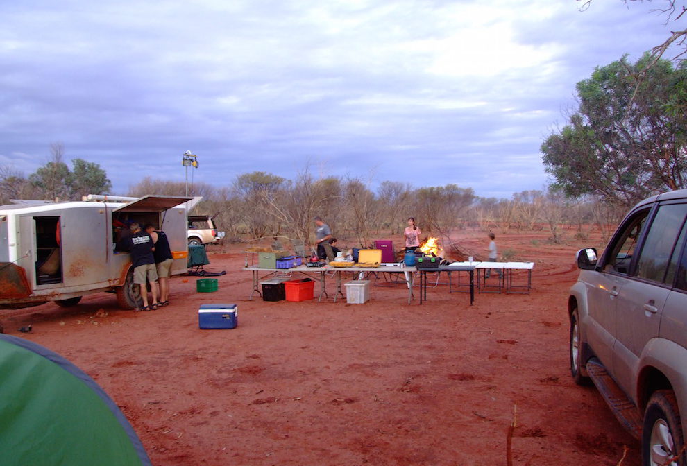
After fixing damaged wiring on the ‘Silver Bullet’ kitchen trailer that was blowing a variety of fuses in my Patrol, we finally got underway from Jandakot an hour or so later than expected. We took the Brookton Highway east to Brookton, had dinner at Stumpy’s Roadhouse and continued east to Corrigin and then Bendering before becoming geographically confused for 15 minutes or so trying to find The Humps and Mulkas Cave.
Mulkas Cave
-
- Aaron, Adi and Greg
-
- At Mulka’s Cave.
-
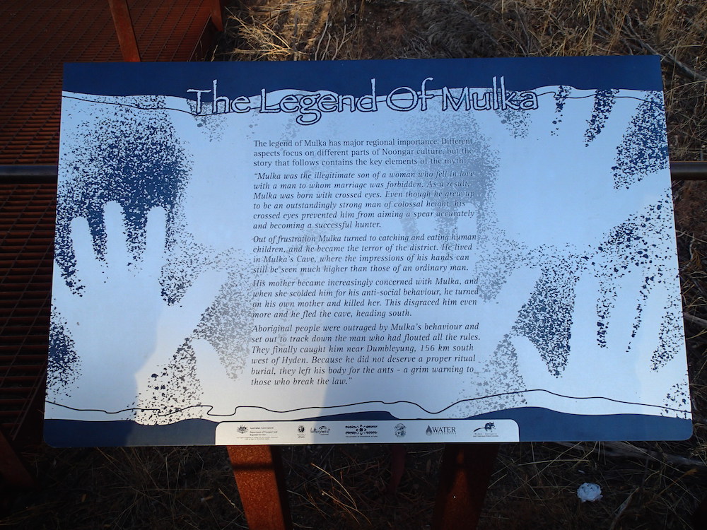
- The Legend of Mulka.
-

- More of the Legend of Mulka.
-

- Information about the aboriginal artwork.
-

- Inside the cave.
-

- Greg, Cliff, Adi, and Kim.
-

- Mulkas Cave
Wave Rock and Hippos Yawn
Next morning, after a tour of the site and a chat with the Shire Ranger, we headed into Hyden to refuel and visit Wave Rock and Hippos Yawn.
-
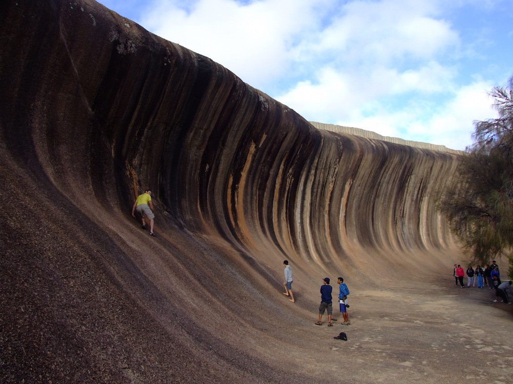
- Ohad surfing the wave
-

- Ohad at Wave Rock.
-

- Corey at Hippos Yawn.
-

- Sean surfing the wave
-
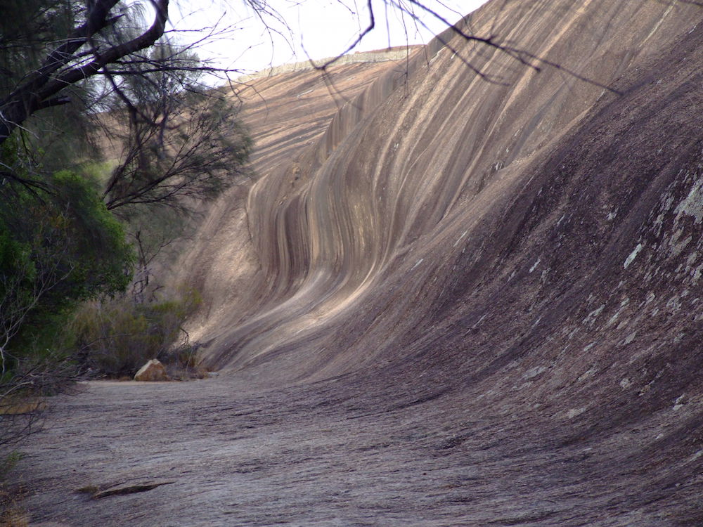
- Wave Rock
-

- Life on the Edge
To Kalgoorlie
Cliff and Adi in their Suzukis refuelled in Hyden while the others had a look at the two famous rocks. We then headed out along the Hyden East Road, past the State Barrier Fence.
Previously known as the Rabbit Proof Fence, the State Vermin Fence and the Emu Fence, it has undergone many transformations in its lifetime, keeping rabbits, wild dogs, emus, kangaroos and other feral animals away from agricultural and pastoral areas. It coincides with the line of rainfall required for successful farming. The land to the west, except for reserves, has been taken up by farmers. The land to the east is known as the Great Western Woodland, the largest temperate woodlands on the planet. It is dominated by eucalypts.
-
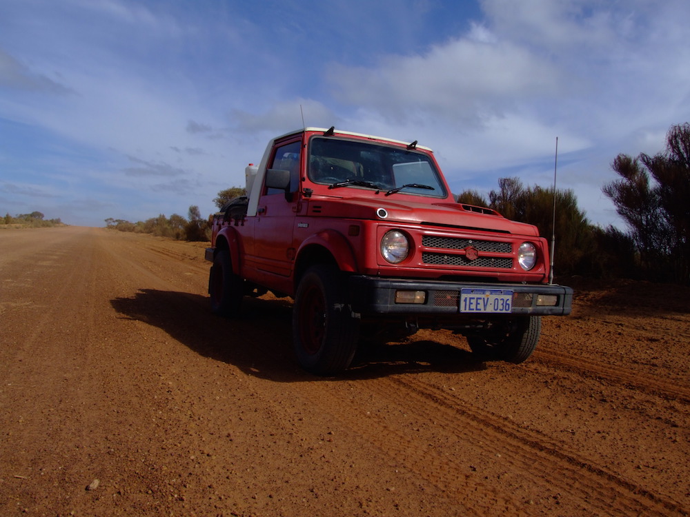
- Cliff’s Maruti Gypsy King.
McDermid Rock
-
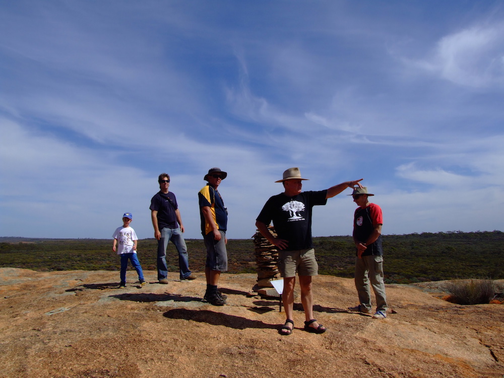
- Sean, Ehud, Aaron, Kim and Greg on McDermid Rock.
-

- Ohad on McDermid Rock.
-

- Cairn at the top of McDermid Rock.
-

- Ohad at McDermid Rock summit.
We stopped to climb McDermid Rock, one of the numerous granite rock outcrops (inselberg or monadnock) that act as island sanctuaries for a whole range of wildlife in this remote, low rainfall area. These granite outcrops catch and direct precious rain water that, in earlier times, was so precious for explorers and prospectors. Additionally, they were a vital navigational beacon through the dense thickets of tamma.
Lake Johnston
We took a short detour to see Lake Johnston before returning to the Victoria Rock Road and heading north-east to Coolgardie.
-
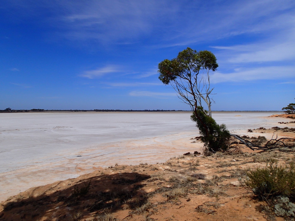
- Lake Johnston
-

- Local resident
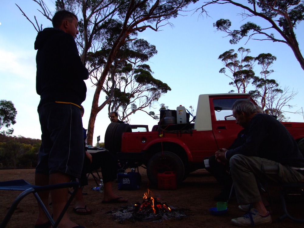
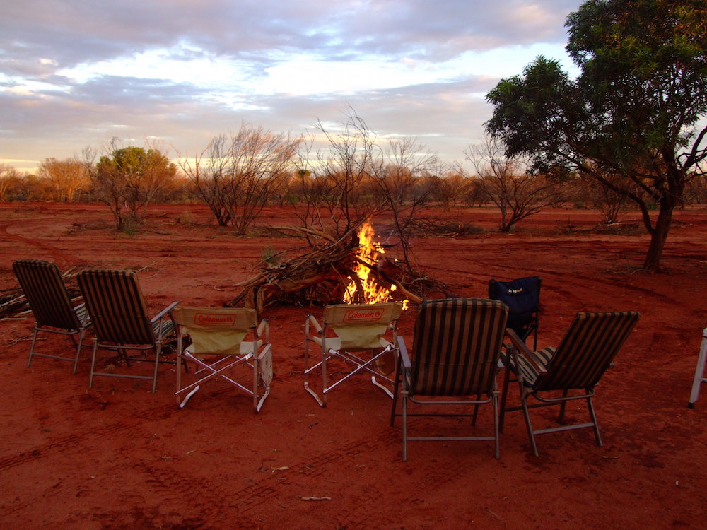
Kalgoorlie
We tried to find a way in to Banks Rock but the bush was too thick – we probably missed the correct turnoff. [This deficiency was corrected on a later trip when we confirmed the route into Banks Rock ]. We visited Victoria Rock and Gnarlbine Rock and passed through Coolgardie. Dusk was approaching as we pulled into the campsite at the Speedway at Kalgoorlie.
-

- Dusk at Kalgoorlie
-

- Corey and Greg.
-

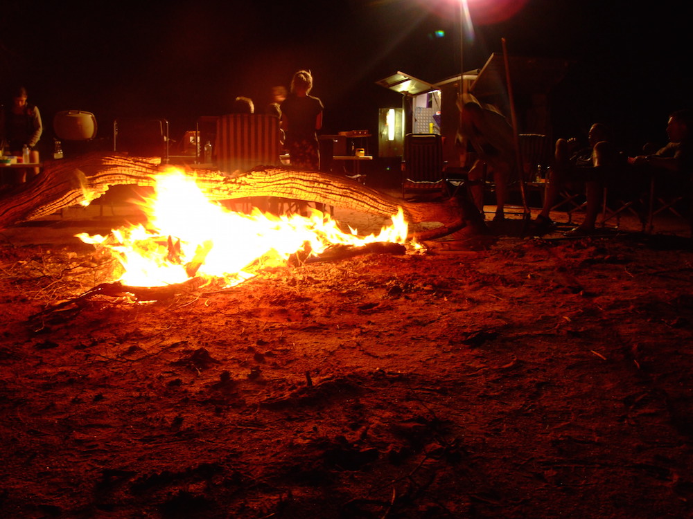
- Camp at Kalgoorlie Speedway.
-

- The kitchen in the Silver Bullet.
-

- Greg at camp.
-

- Adi, Cliff, Greg and Kim.
-

- How did the eggs get in there?
Superpit
Before racing started the next morning we had time to check out the Superpit – an open cut gold mine approximately 3.6 kilometres long, 1.6 kilometres wide and more than 500 metres deep. It was created by businessman Alan Bond, who bought up a number of contiguous mine leases in order to get the land area under one ownership.
-

- Superpit
-

- Kalgoorlie
-

- Superpit
Australian Off Road Racing Championships
Buggies, trophy trucks, cars, and 4WDS, the best offroad racing machinery in Australia, were competing in Round 1 of the Australian Off Road Championships, the inaugural Kalgoorlie 400, over the Easter break. We stayed to watch the Prologue, a short race over part of the course held to determine the Start Order.

-
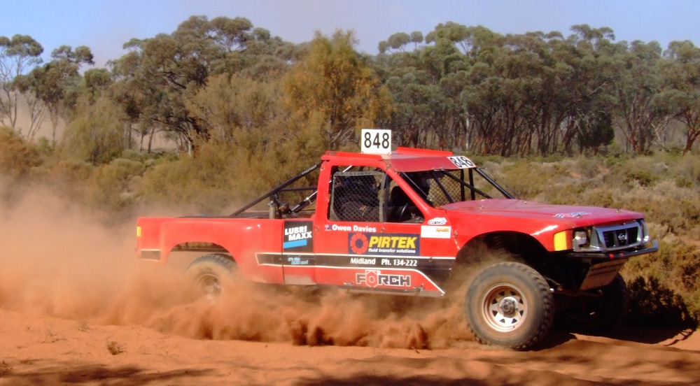
- 848
-

- 109
-

- 502
-

- 410
-
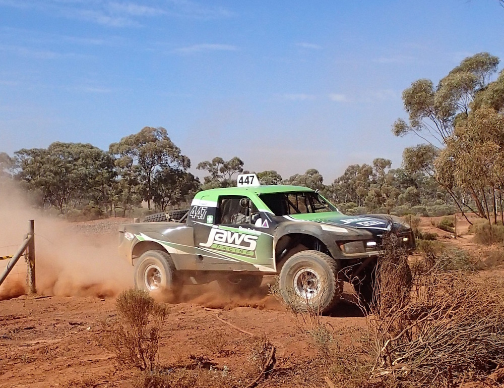
- 447
-
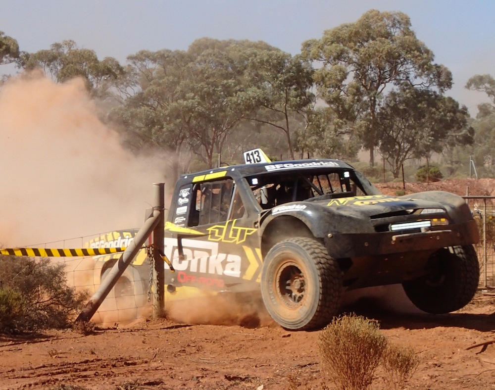
- 413
-
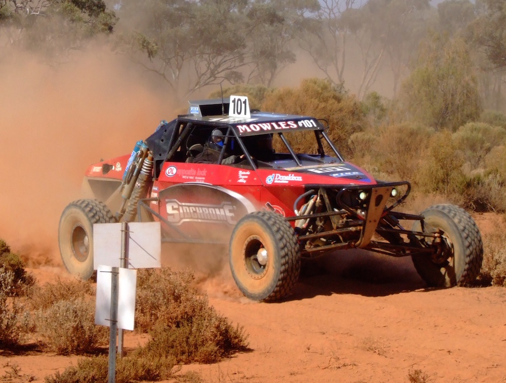
- 101
-

- 201
-

- 119
-
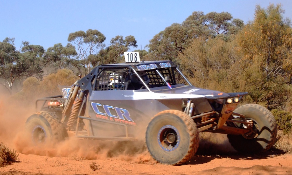
- 108
-

- Ted Schultz
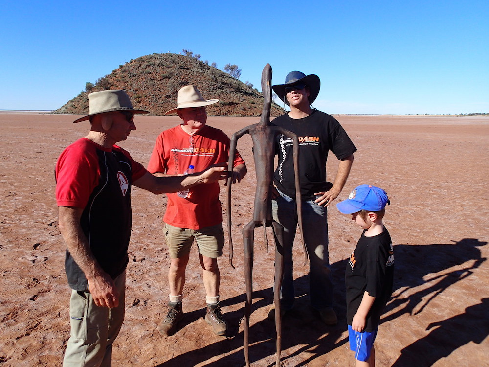
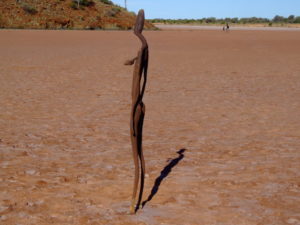
To Menzies and Lake Ballard
From Kalgoorlie we headed north on the Goldfields Highway to Menzies and then to Lake Ballard. Artist Antony Gormley created a collection of 51 steel sculptures standing over ten square kilometres on the white salt of Lake Ballard, about 780 kilometres north-east of Perth. From the foundry in Perth the 51 sculptures were transported to Lake Ballard and installed by a team of 18 volunteers over a four day period.
-
- Greg, Kim, Ehud and Sean.
-
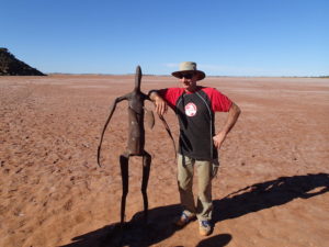
- Greg and friend.
-

- Lake Ballard Sculpture.
-

- Ohad at Lake Ballard.
-

- Lake Ballard.
-
- Sculpture at Lake Ballard.
-

- Silver Bullet behind the Prado.
-

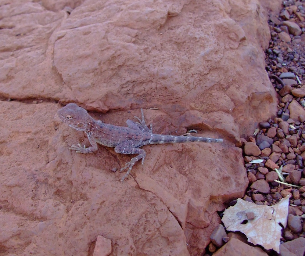
- Monitor lizard.
Lake Noondie on Bulga Downs Station
Leaving Lake Ballard we headed north and camped on the edge of Lake Noondie, 15 kilometres north of Bulga Downs Station. The lake was named after the nearby Noondie Hill, mentioned by surveyor John Forrest (1849-1918) during his 1869 expedition to find the missing explorer Ludwig Leichhardt (1813-1848).
-

- Lake Noondie.
-

- Our camp on the edge of the Lake.
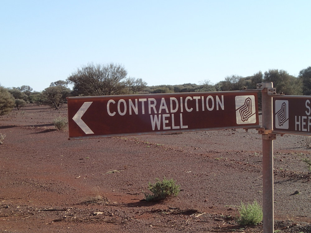
Contradiction Well
-

- Contradiction Well.
-

- Contradiction Well plaque.
-
- Prado and the Silver Bullet.
Into Sandstone
Arriving in Sandstone on Sunday morning we found ‘Dinky Di’, one of the town’s characters, ready to dispense tea, coffee and a sampling of bush herbs.
-

- The whole town is neat and tidy.
-

- Sandstone
-

- Sandstone servo.
-

- Sandstone Post Office.
-
- In Sandstone.
-
- Kim, Greg, Di and Aaron.
-
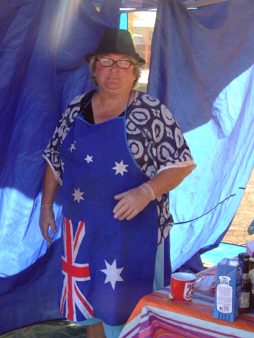
- Dinky Di.
Sandstone Heritage Brewery
-
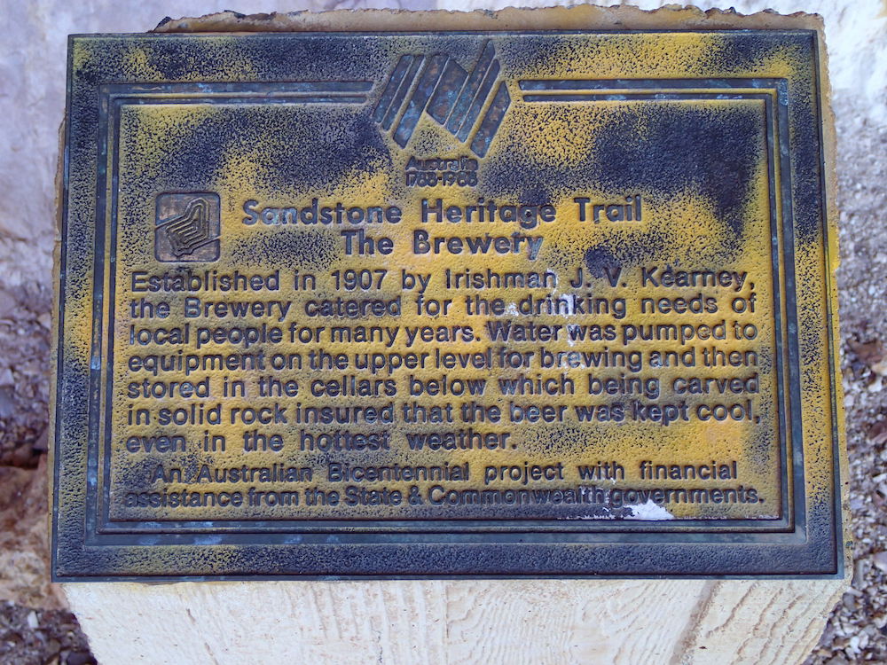
- Bicentennial plaque.
-

- Old Sandstone brewery.
-
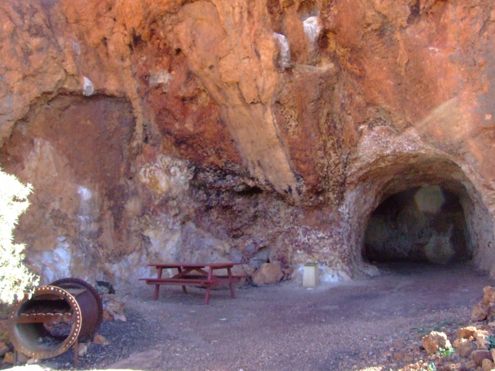
- Entrance to brewery.
-
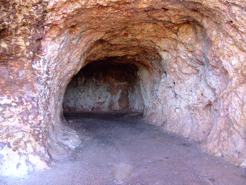
- Storage tunnel.
London Bridge
After our morning cuppa with ‘Dinky Di’ we travelled out to London Bridge, a few kilometres south-east of the town. It is a natural bridge formed of weathered basalt, believed to be about 350 million years old, and part of a larger formation about 800 metres long, varying in height from around 3 to 10 metres. The bridge is getting thinner and thinner and will eventually fall.
-
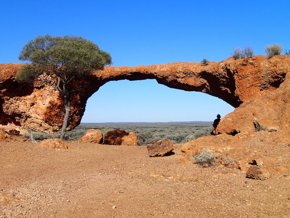
- London Bridge.
-
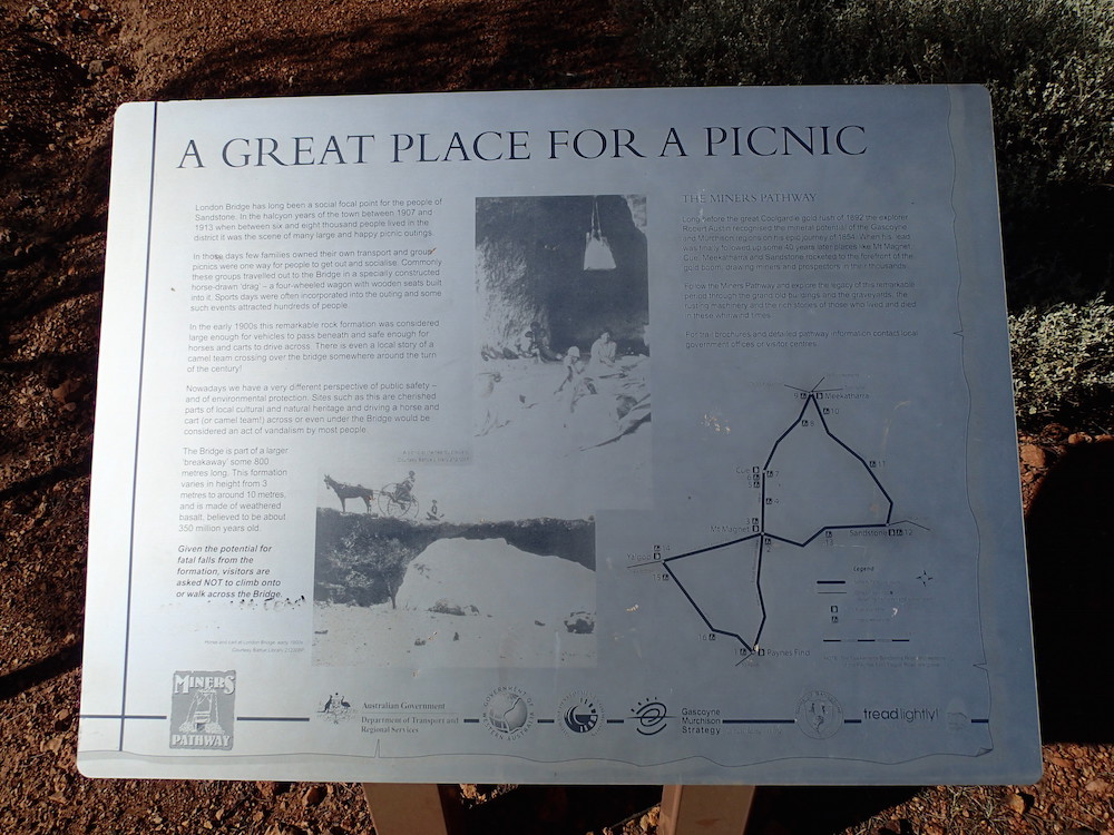
- A Great Place for a Picnic.
-
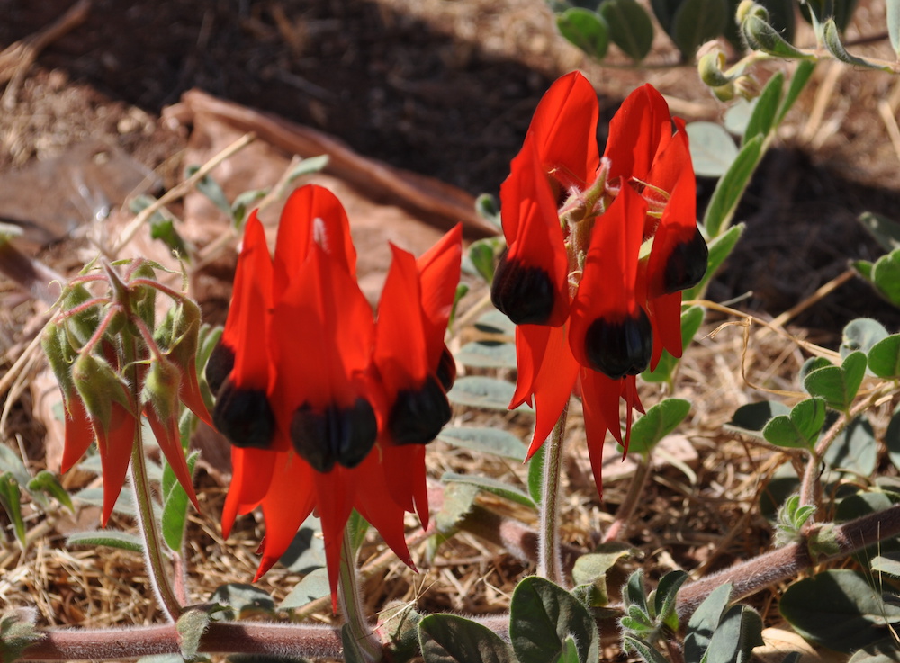
- Sturt’s Desert Pea (Swainsona formosa).
To Meekatharra
Heading out of Sandstone we took the dirt road towards Meekatharra. We stopped at the Vermin Proof Fence.
-
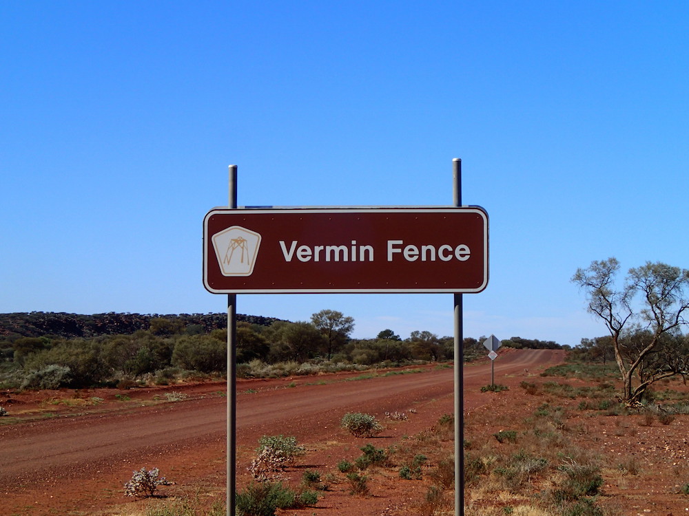
- One of the many control fences.
Barlangi Rock
A little while later we stopped at Barlangi Rock.
-
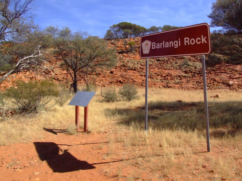
- Information at Barlangi Rock.
-
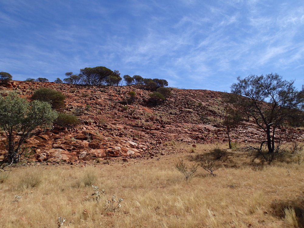
- Barlangi Rock.
-
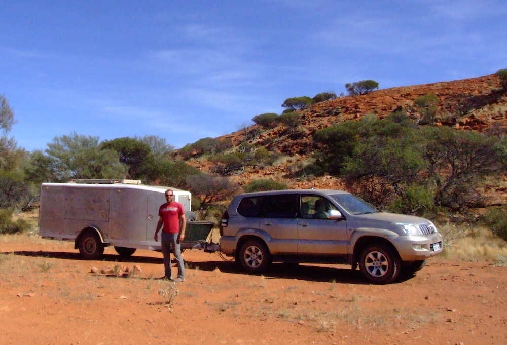
- Ohad with the Silver Bullet behind the Prado at Barlangi.
Mount Yagahong
And then, further on, at Mount Yagahong.
-

- Ehud and Ohad at Mt Yagahong.
-
- Mount Yagahong.
26th Parallel
-
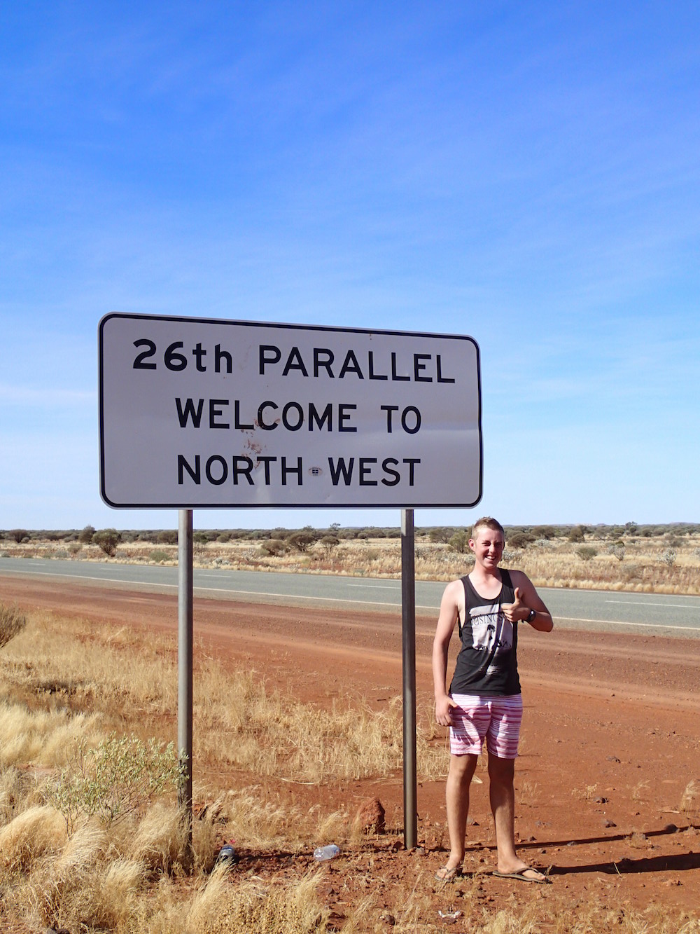
- Corey at the 26th Parallel.
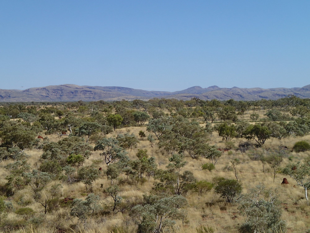
Nor-Westers have a licence to be stereotypical, outback Australians, get tax concessions, drink copious quantities of the amber fluid, and like the heat, flies and remoteness.
Meekatharra
We refuelled at Meekatharra and topped up the water tanks in the ‘Silver Bullet’.
Meekatharra is the major supply centre for the pastoral and mining in the Murchison region. The townsite is 35 kilometres north-north-east of Nannine where the first gold rush on the Murchison Goldfield occurred in 1890. In late 1895, prospectors Meehan, Porter and Soych pegged a claim near Meekatharra Spring, the aboriginal name of a watering point that had appeared on maps since 1885. It is from this spring that the townsite’s name is derived. It is believed that the name means ‘place of little water’.
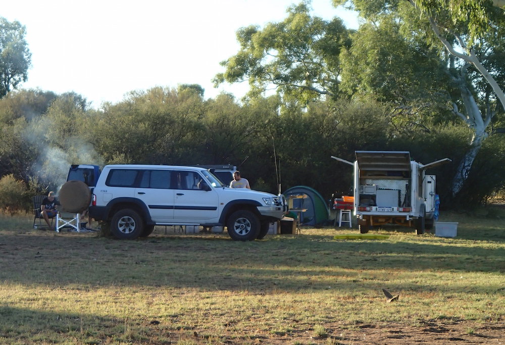
After a spectacular blowout of the driver’s side tyre on the ‘Silver Bullet’ and the time taken to change wheels, it was clear that we would not make Newman, our intended destination.
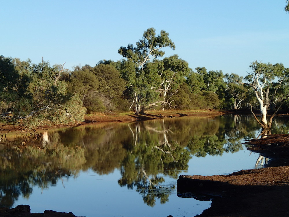
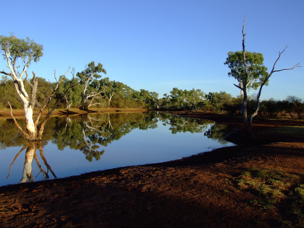
Yannerie Pool
-
- Yannerie Pool.
We pulled in to Yannerie Pool, a level, grassed area next to a permanent pool of water on Bulloo Downs Station, only a few hundred metres off the Great Northern Highway.
-
- A great campsite.
-
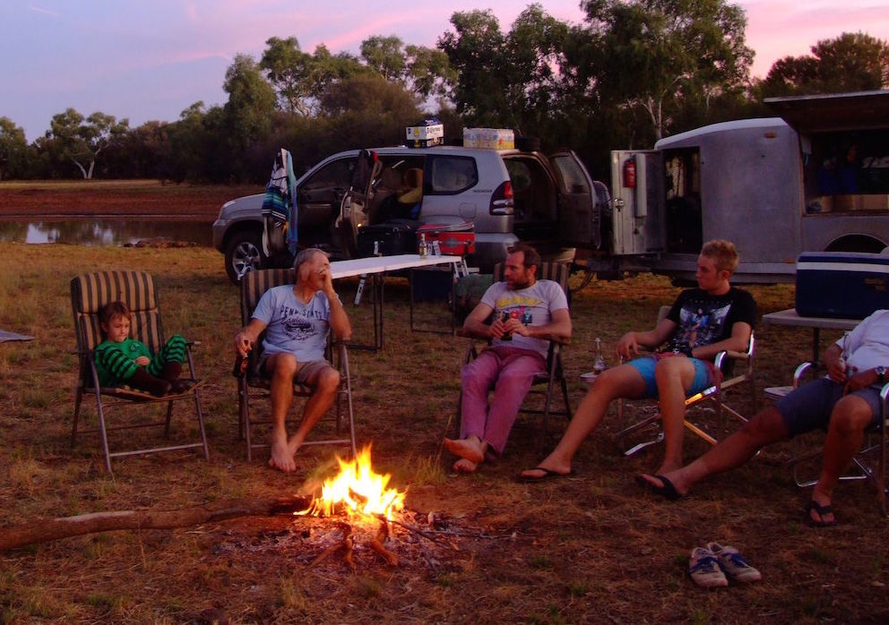
- Sean, Greg, Ohad, Corey and Aaron.
-
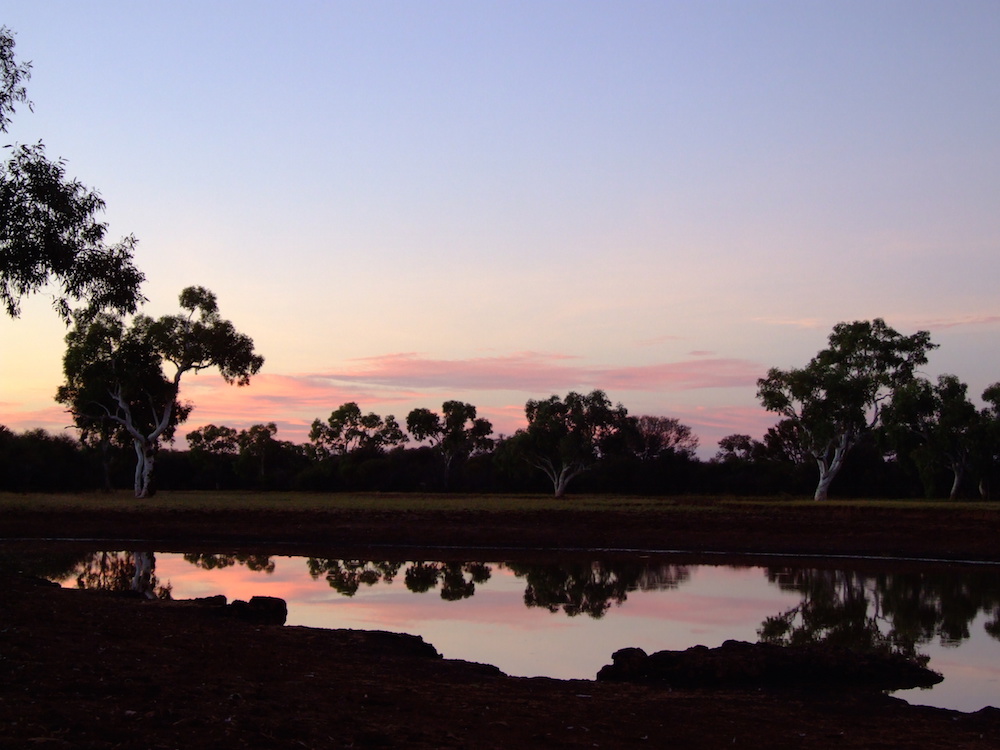
- Sunset at Yannerie.
-
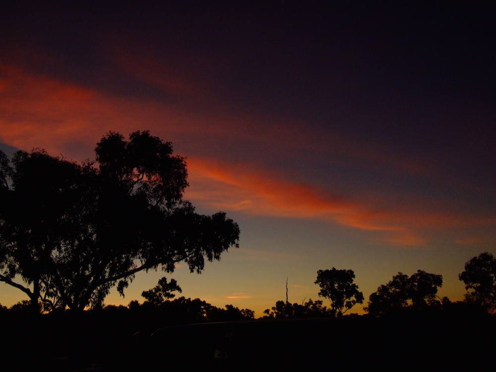
- Sunset at Yannerie Pool.
-
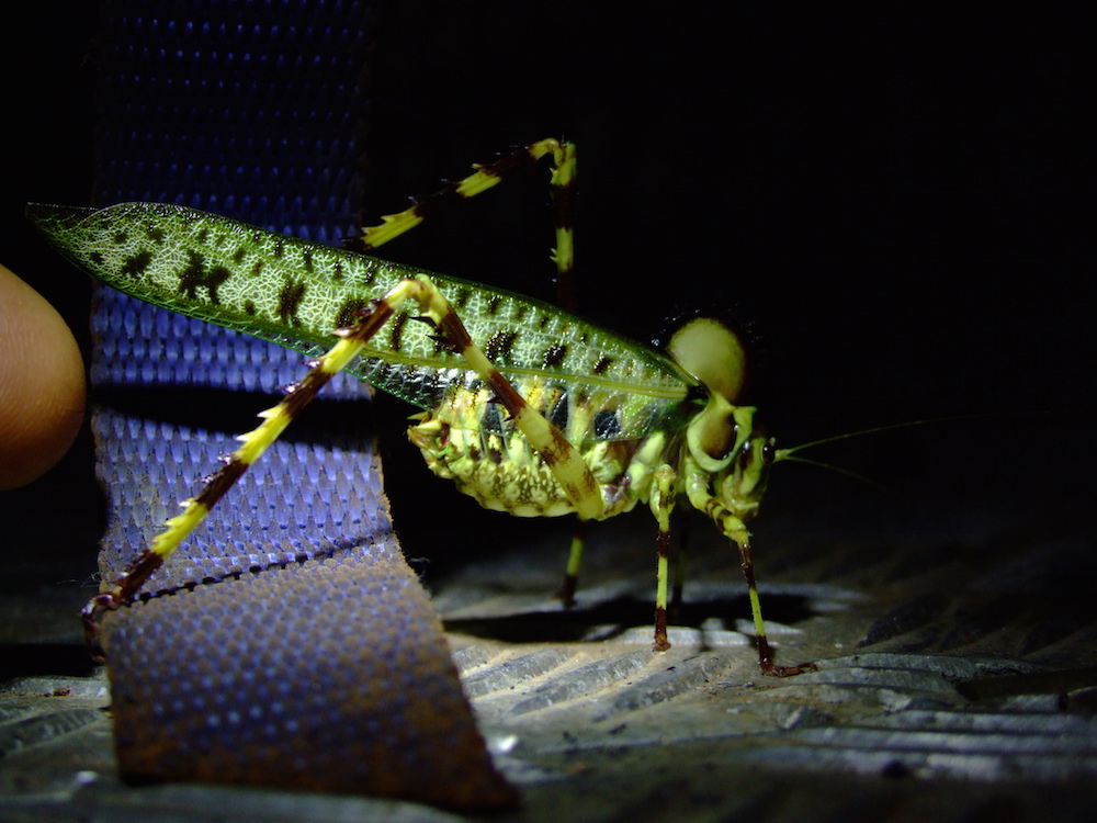
- Local resident.
-
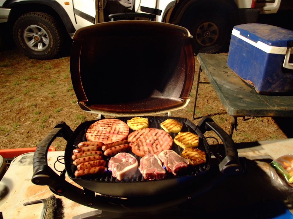
- Ehud’s cooking on the Weber Baby Q.
-
- Yannerie Pool in the morning.
Tropic of Capricorn
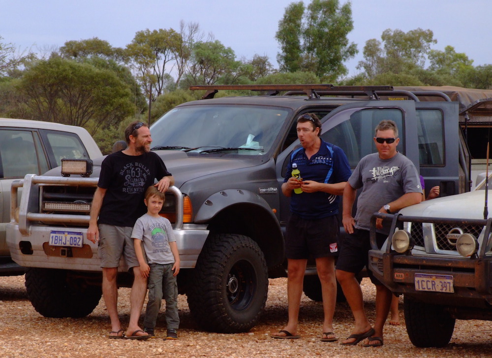
After stopping for photos at the Tropic of Capricorn we met up with Matt and his family in Newman. He had passed us during the night and camped at the Newman Caravan Park.
-

- Road trains at Capricorn Roadhouse.
-
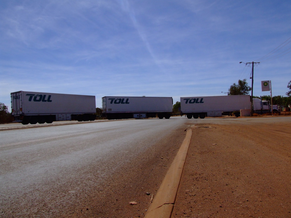
- Triple road train.
-

- Road trains are a feature of the North-West. This is known as a B Triple.
-

- Ohad at Tropic of Capricorn.
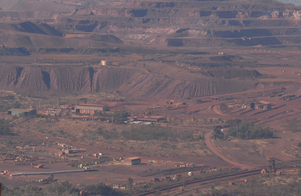
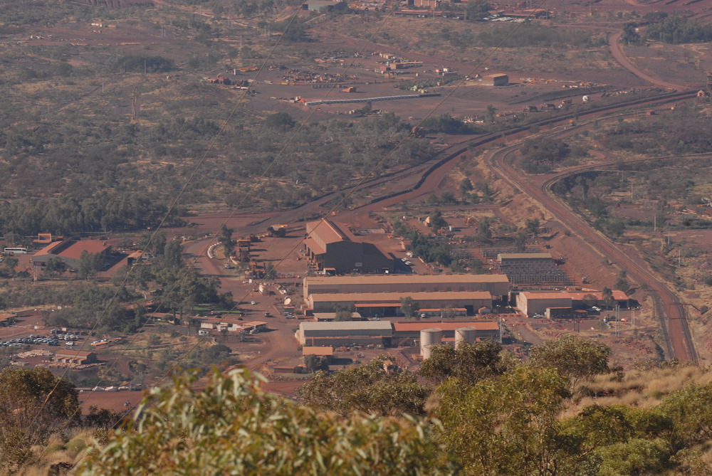
Newman
Newman sits on what was originally regarded as marginal cattle country. It was built in the 1960s by the Mount Newman Mining Company, following the discovery of rich iron deposits on nearby Mount Whaleback. The discovery marked the start of the resource boom in Western Australia in the 1970s. The town takes its name from nearby Mount Newman, named in honour of A.W. Newman (1866-1896), an early surveyor/explorer who died of typhoid fever just before reaching the area in 1896.
-
- The Hall girls.
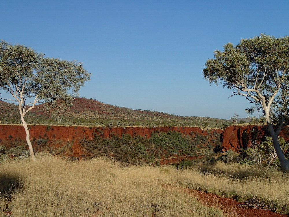
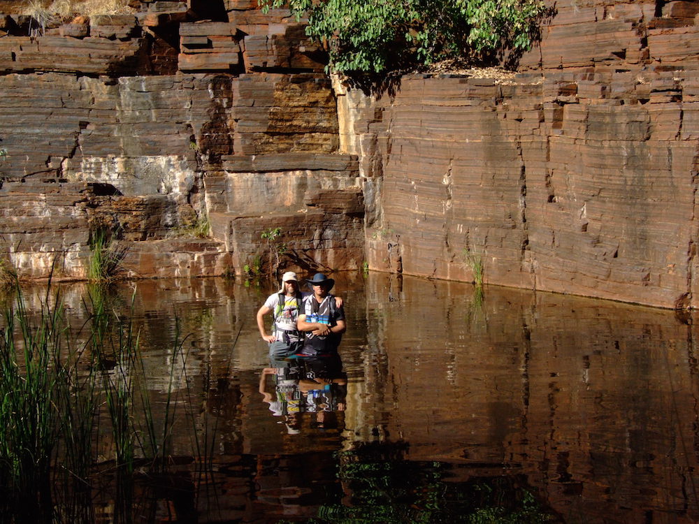
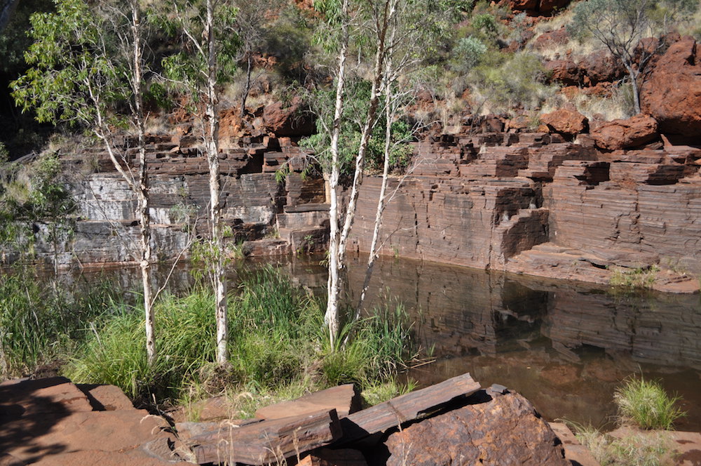
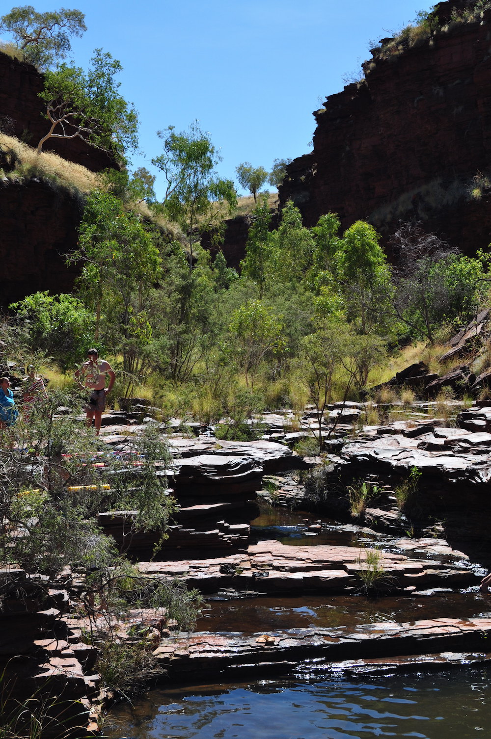
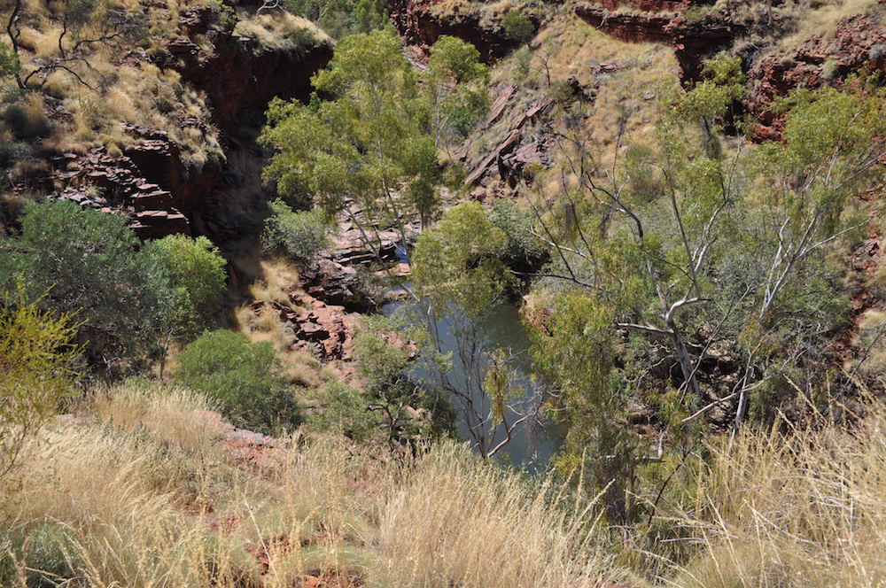
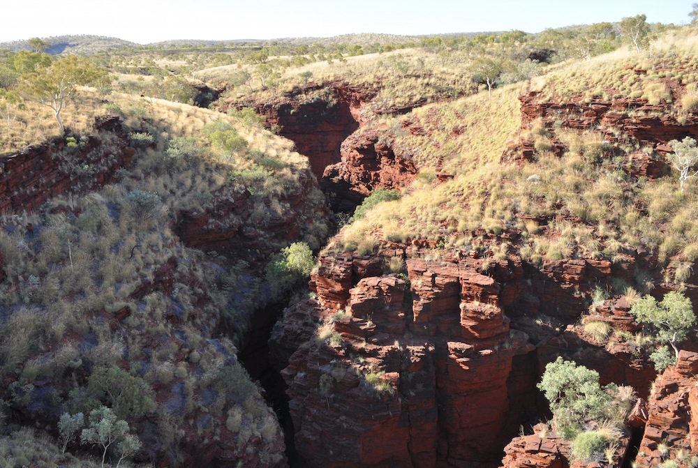
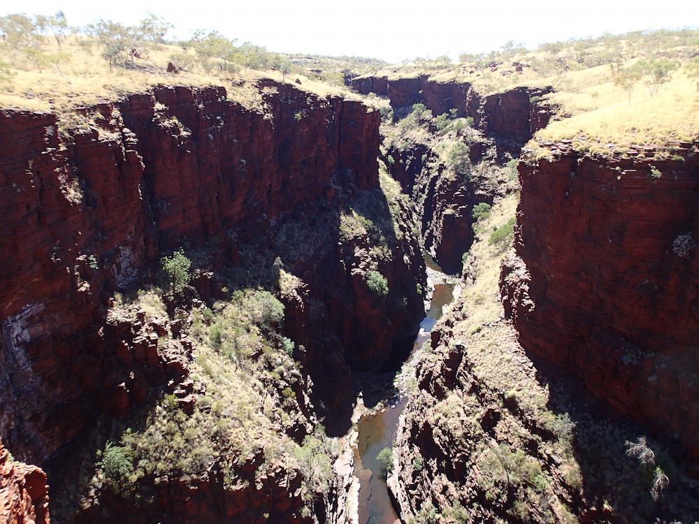
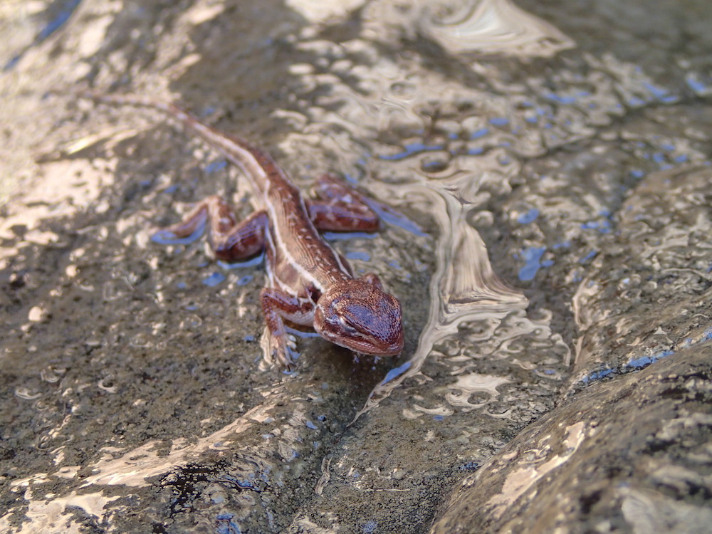
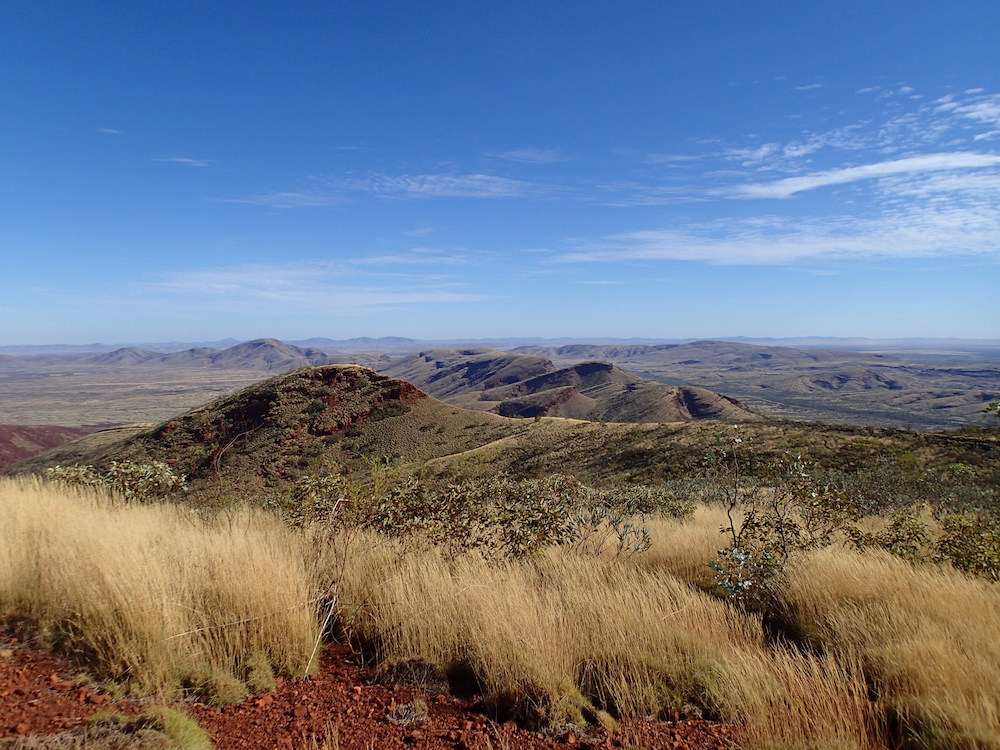
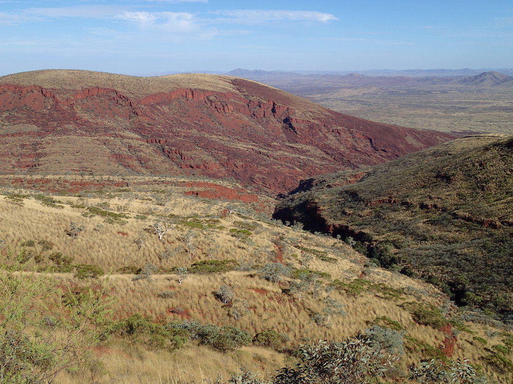
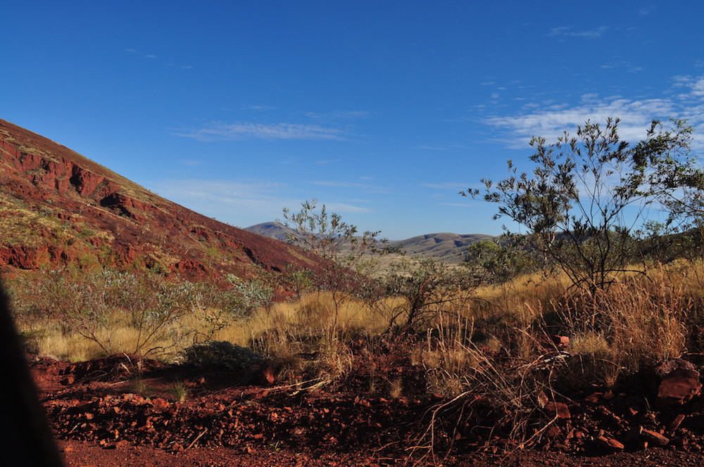
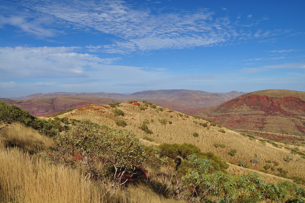
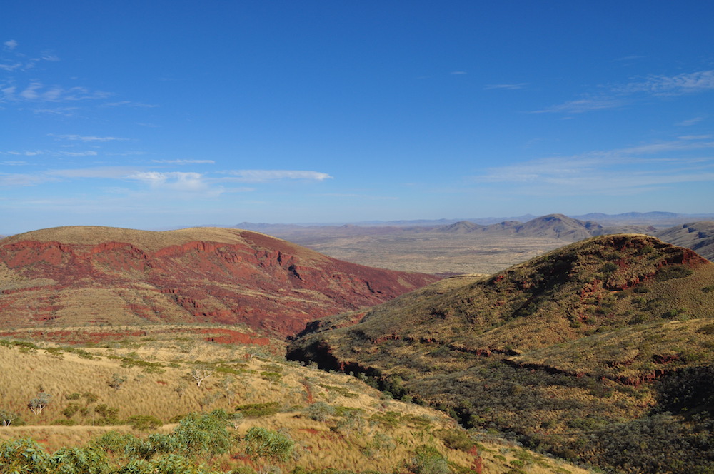
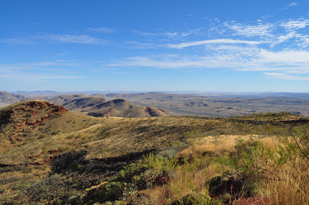
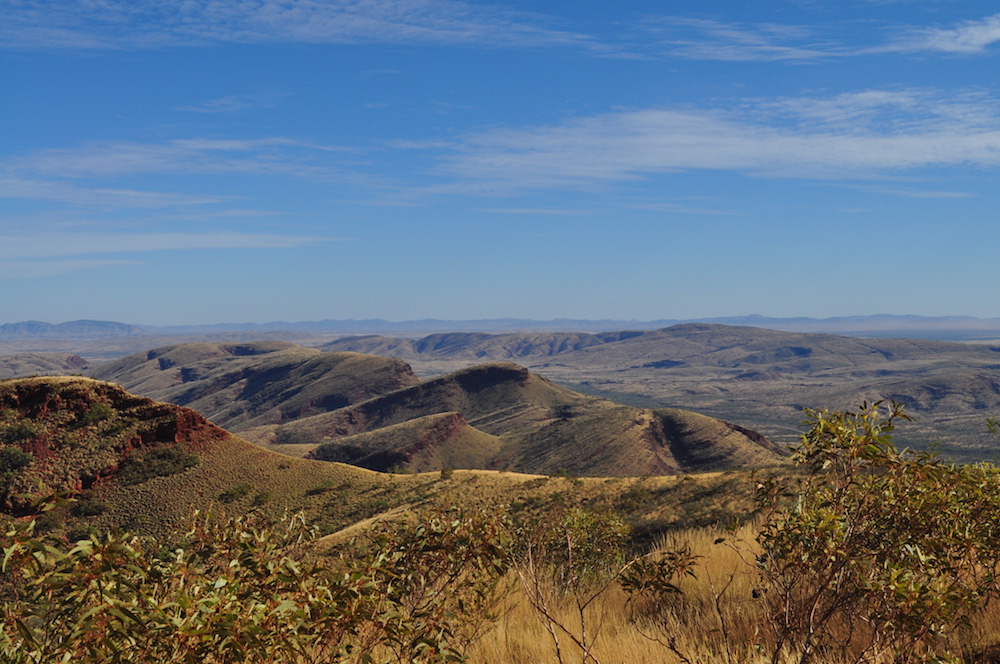
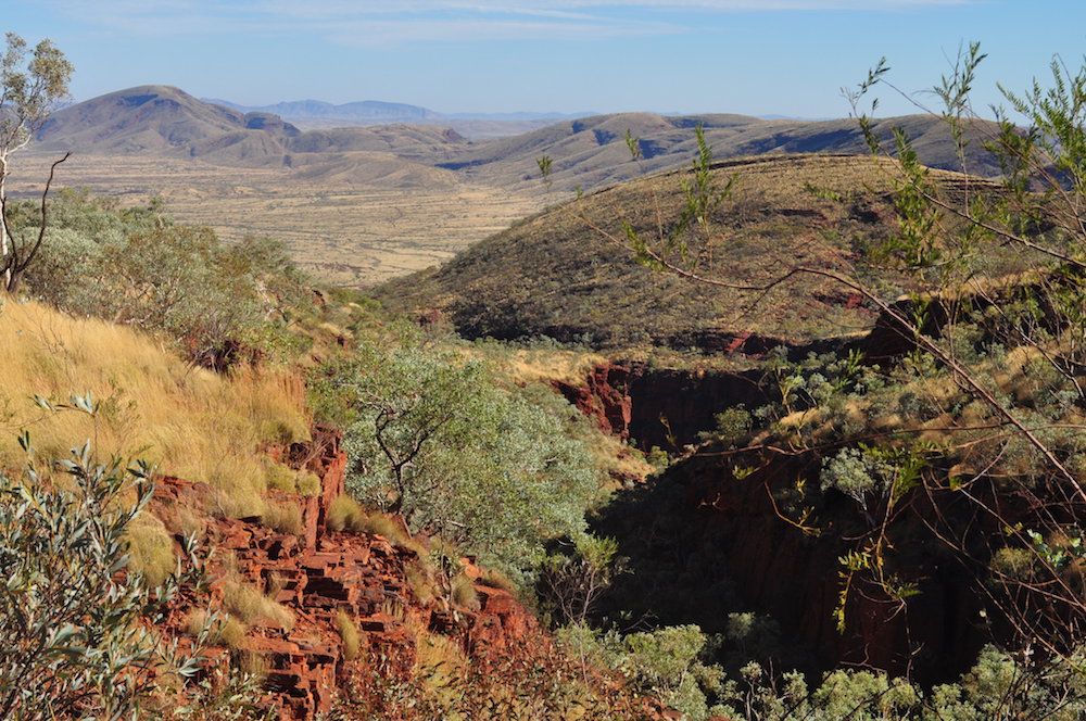
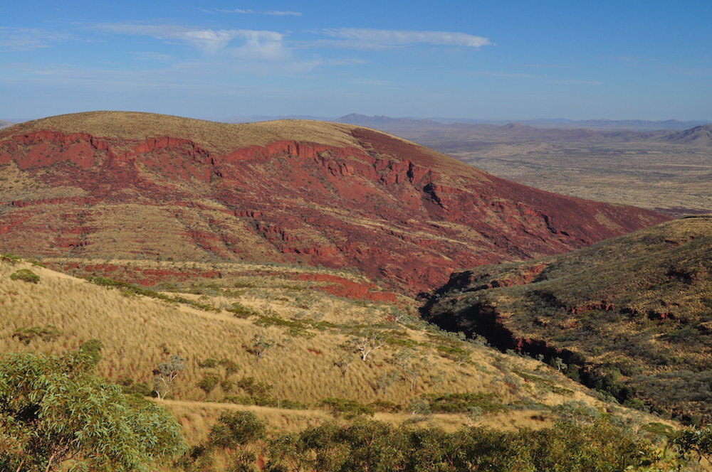
Karajini National Park
We refuelled and headed to Karijini National Park.
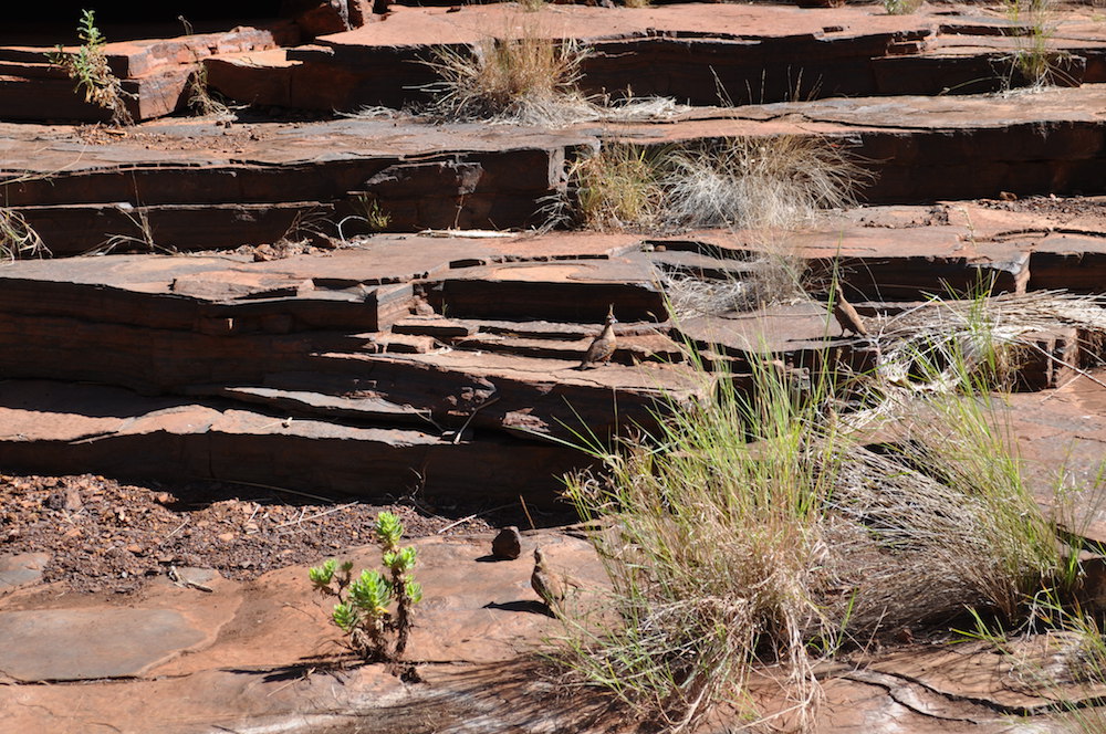
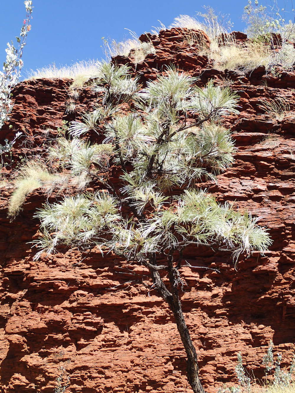
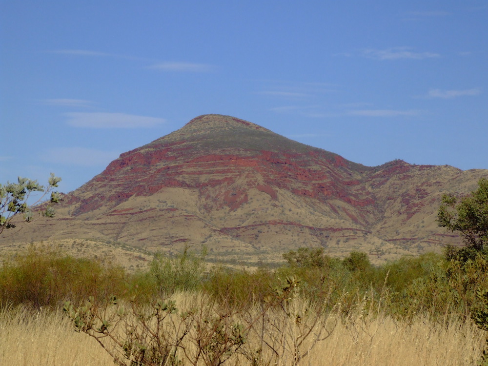
Karijini National Park’s incredible natural beauty and spectacular contrast of colours is world class. Set in the rugged Hamersley Range in the heart of the Pilbara, the stunning gorges, waterfalls, plunge pools and walk tracks make Karijini a ‘must visit’.
The Park is surrounded by massive iron ore projects such as Marandoo, Hope Downs, Yandi and Tom Price.
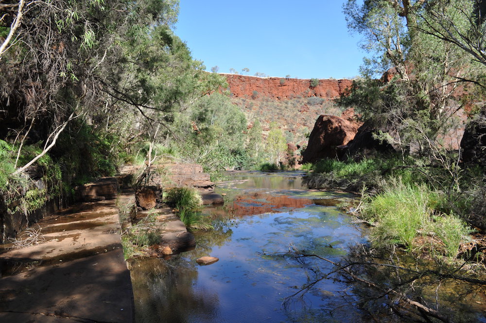
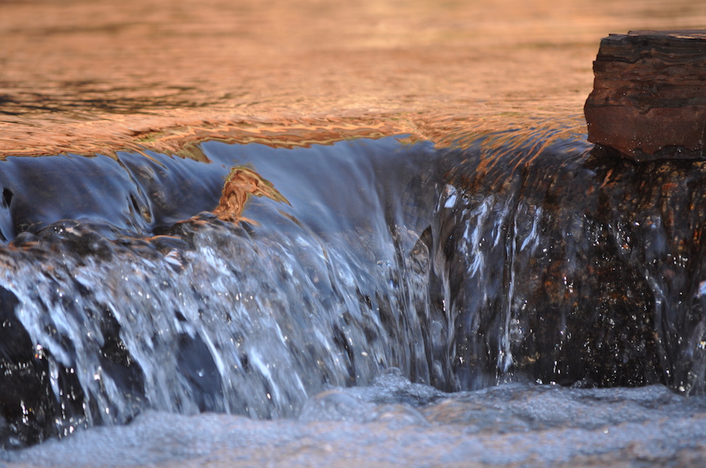
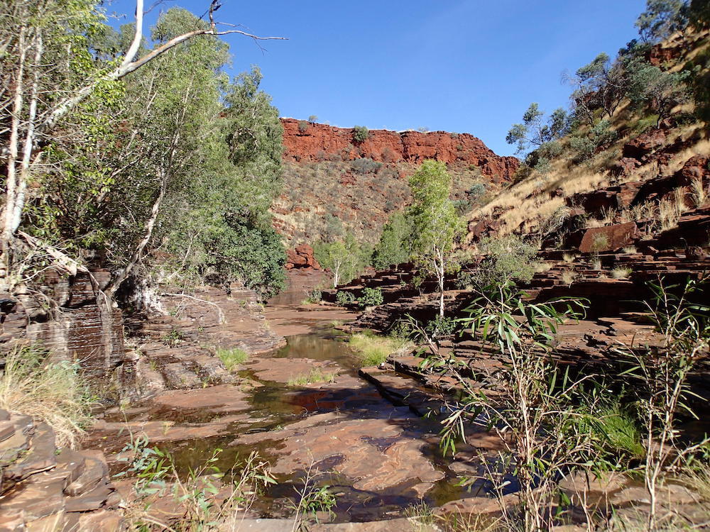
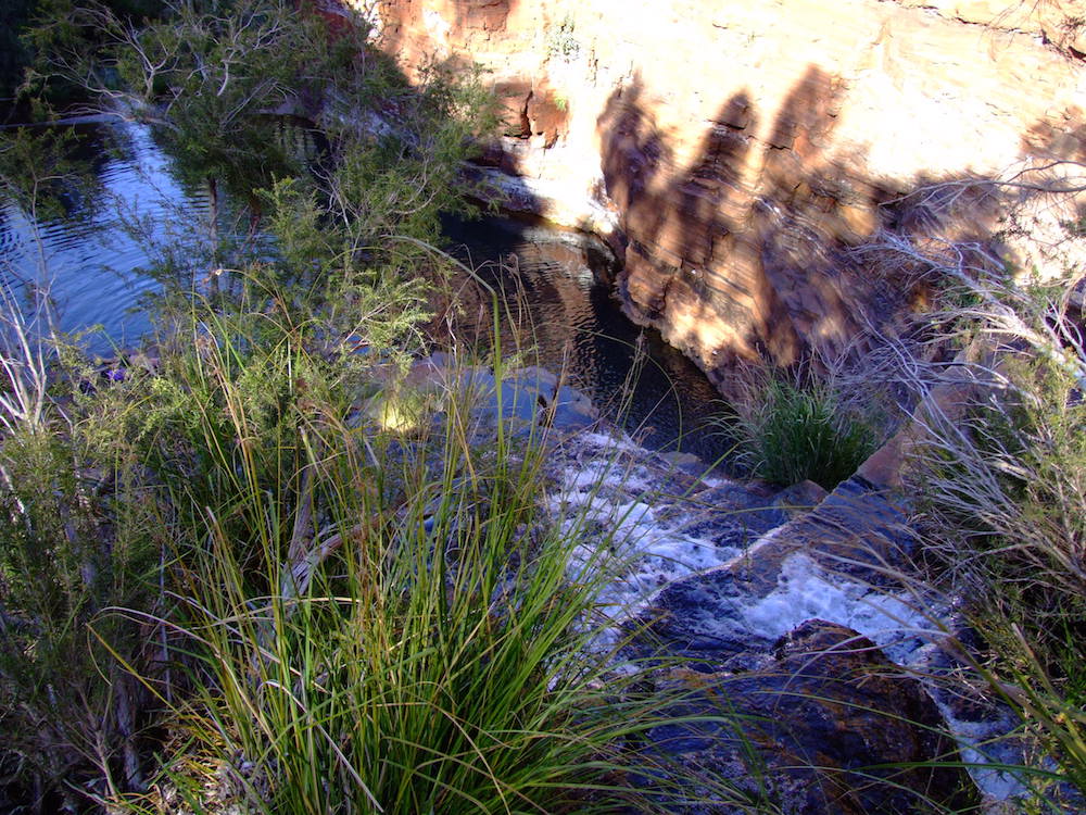
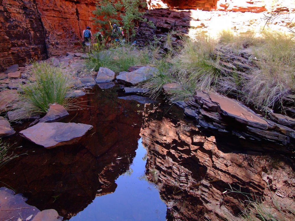
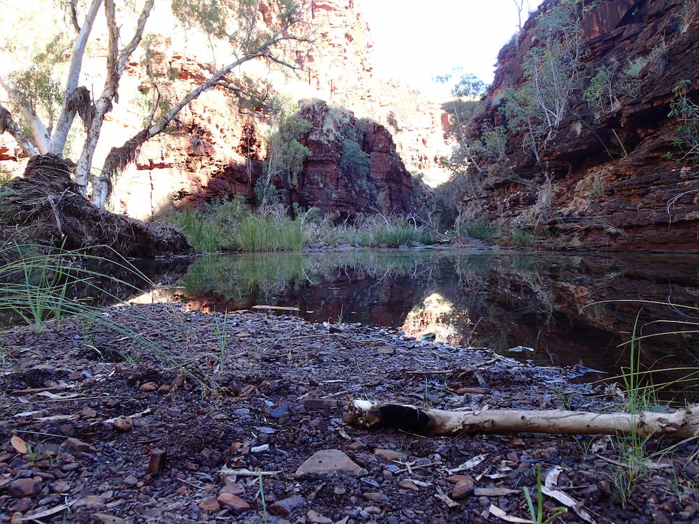
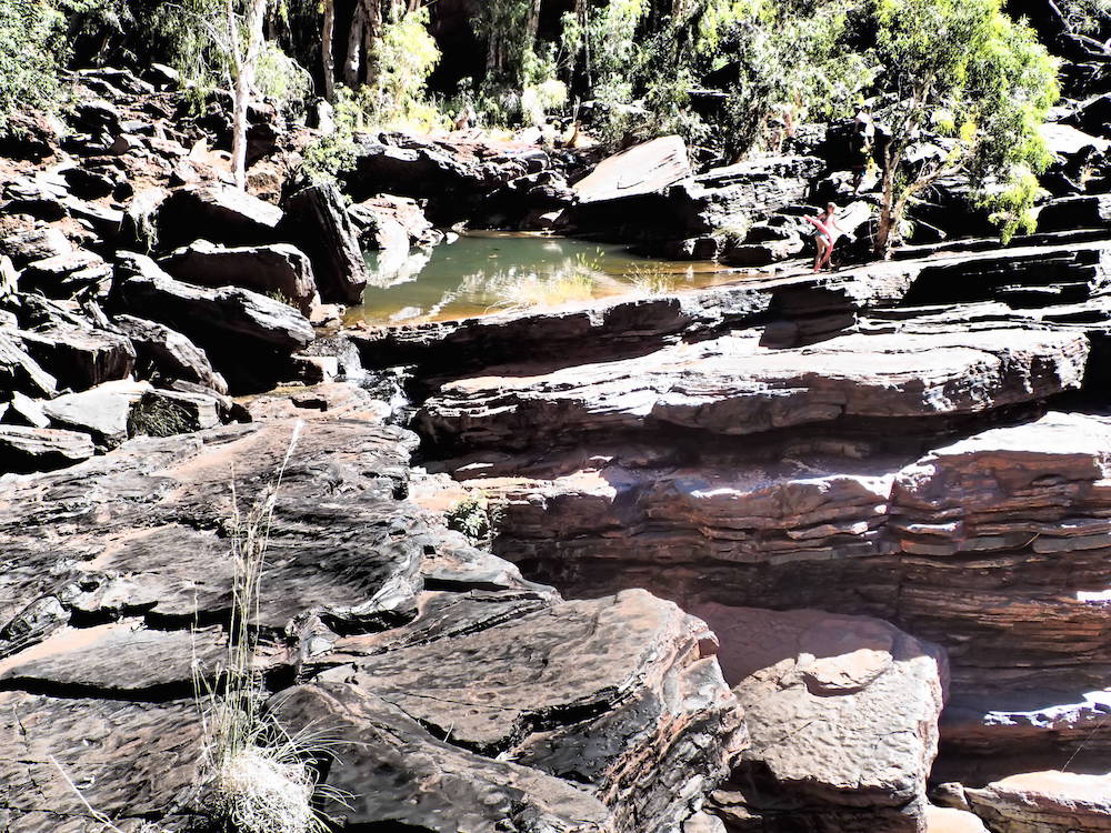
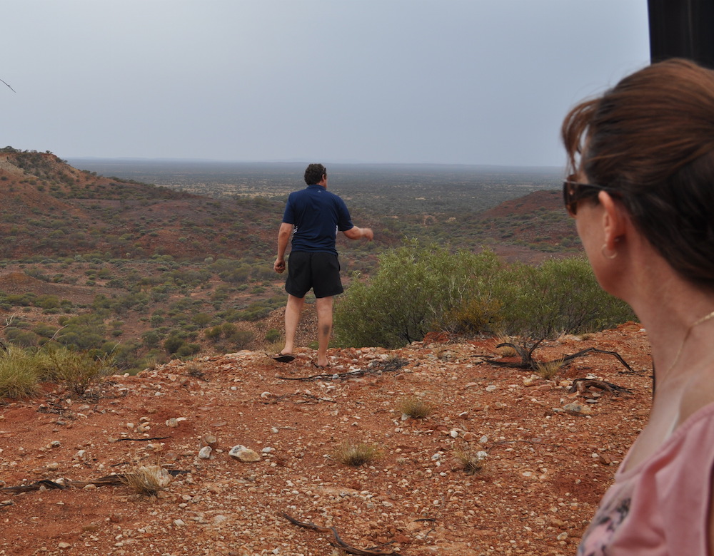
When we booked in at Dales Gorge Campground our plans to relocate to Savannah after a day were dashed – it was full and would remain so for the duration of our stay. That meant a 50 kilometre ‘commute’ on very rough and corrugated gravel roads each day to get to Weano, Hancock, Knox and Joffre Gorges.
-
- From the rim of Dales Gorge.
-

- Dales Gorge.
-
- Dales Gorge.
-
- Looking into the gorge.
-
- Water in the gorge.
-
- Battlement.
-
- Ohad and Ehud.
-
- Staircase.
-
- In Dales Gorge.
-
- Reflections.
-
- Dales Gorge pool.
-
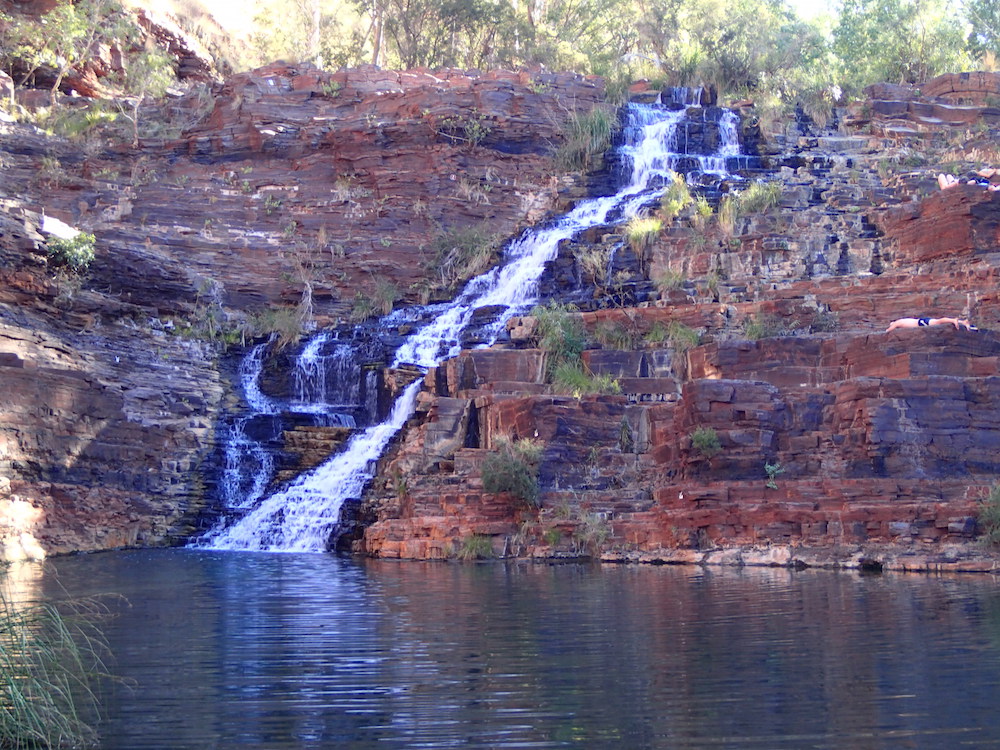
- Fortescue Falls.
-

- Rock shelf.
-

- Stepped fall.
-

- Steps.
-
- In Dales Gorge.
-
- In the gorge.
-
- Water flow.
-

- Mini cascade.
-

- Old snappy gum on the rim of Dales Gorge.
-

- Small swimming pool.
-
- Swimming at Circular Pool.
-
- Tania and Matt and Circular Pool.
-

- Shaina.
-

- Corey, Tania, Shaina and Greg.
-
- Kim talks with Ranger.
-

- Ehud.
-

- Aerial roots.
-

- Ficus tree near Fern Pool.
-

- Fern Pool, Dales Gorge.
-

- Sunset at Dales Gorge Campground.
-

- Shaina at Dales Gorge Camp.
-

- Matt and Tania’s setup.
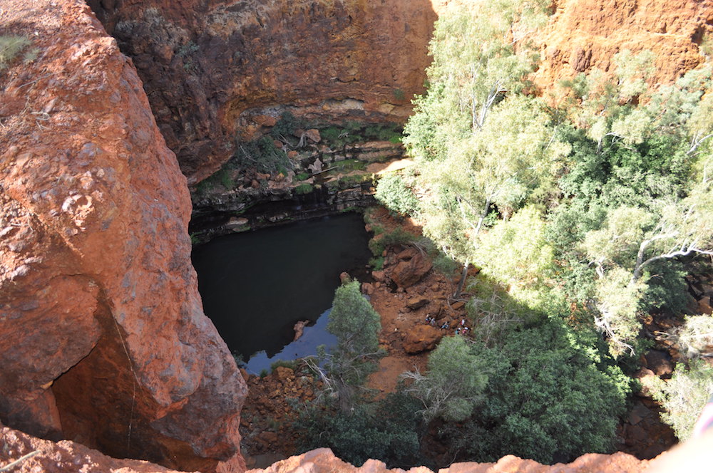
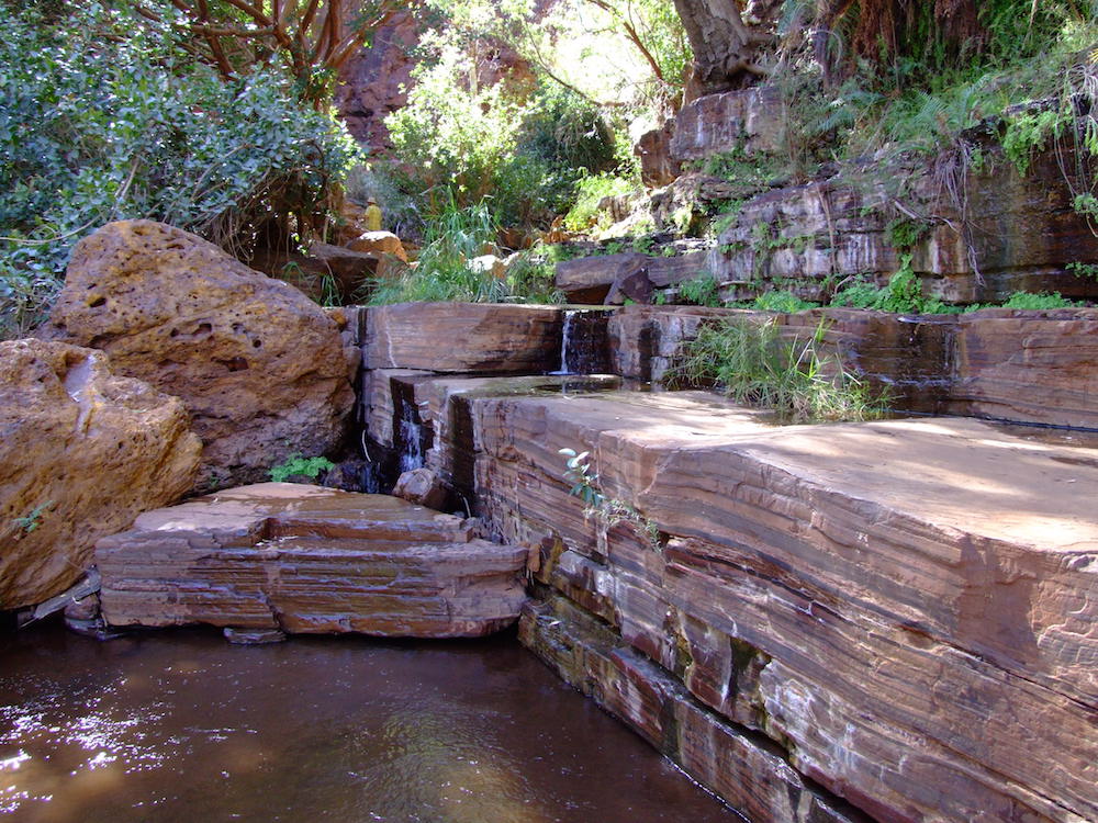
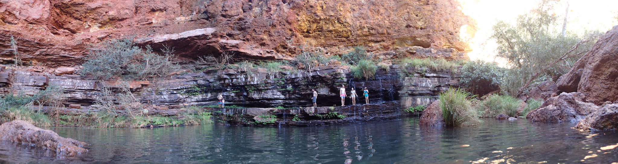
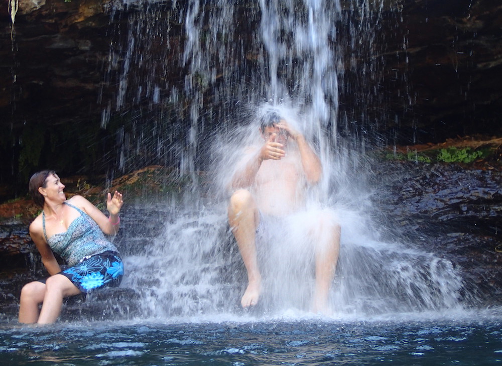
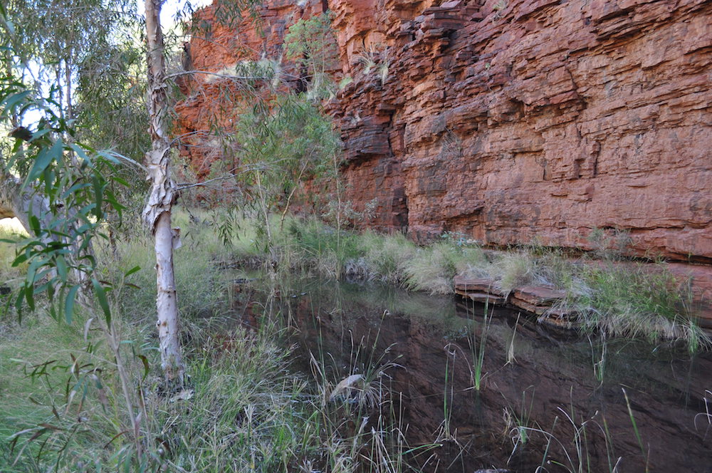
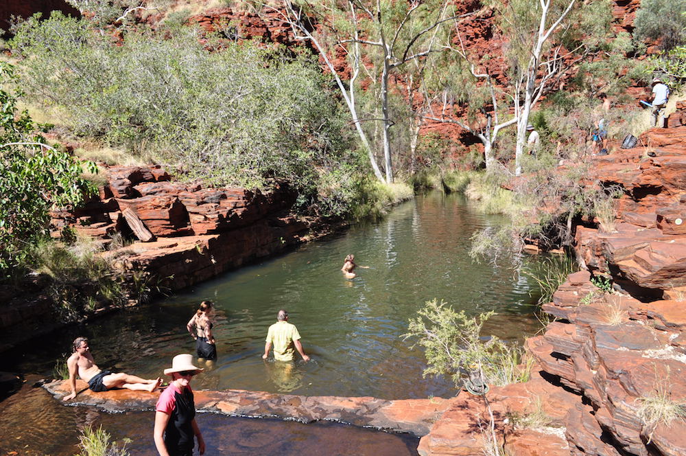
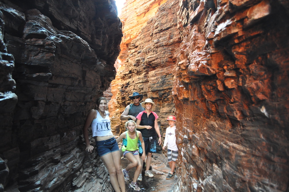
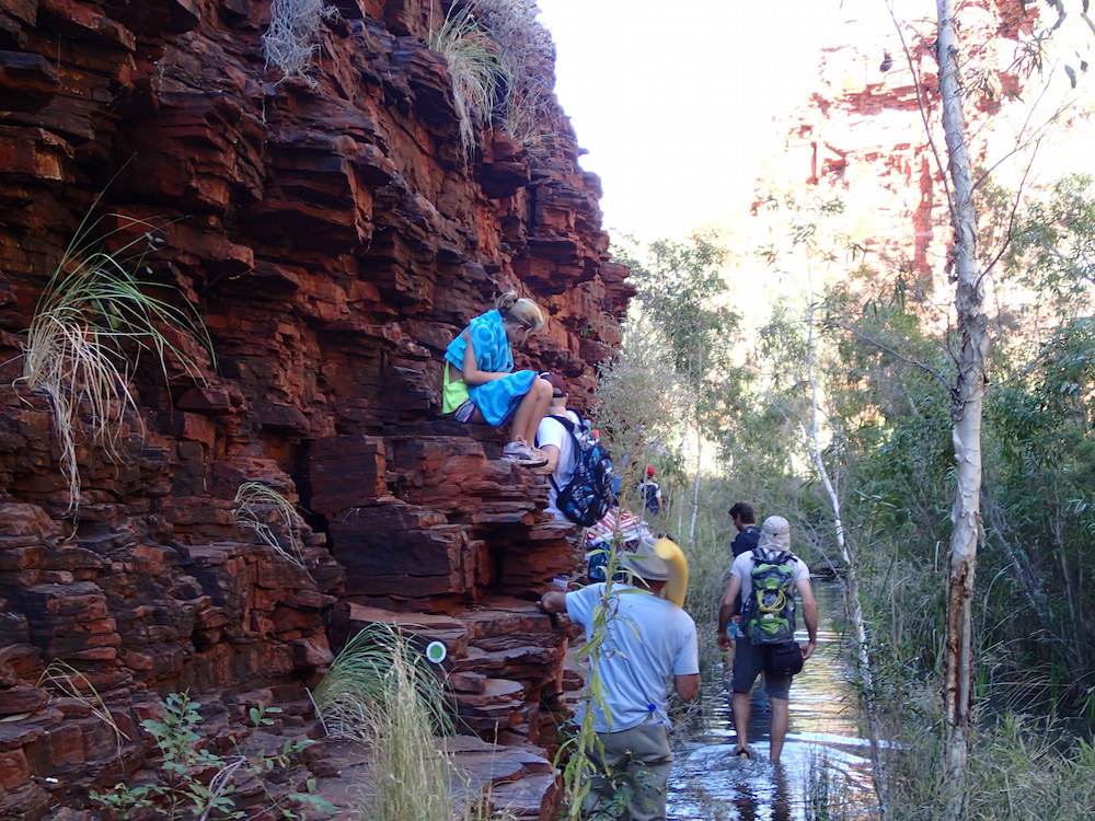
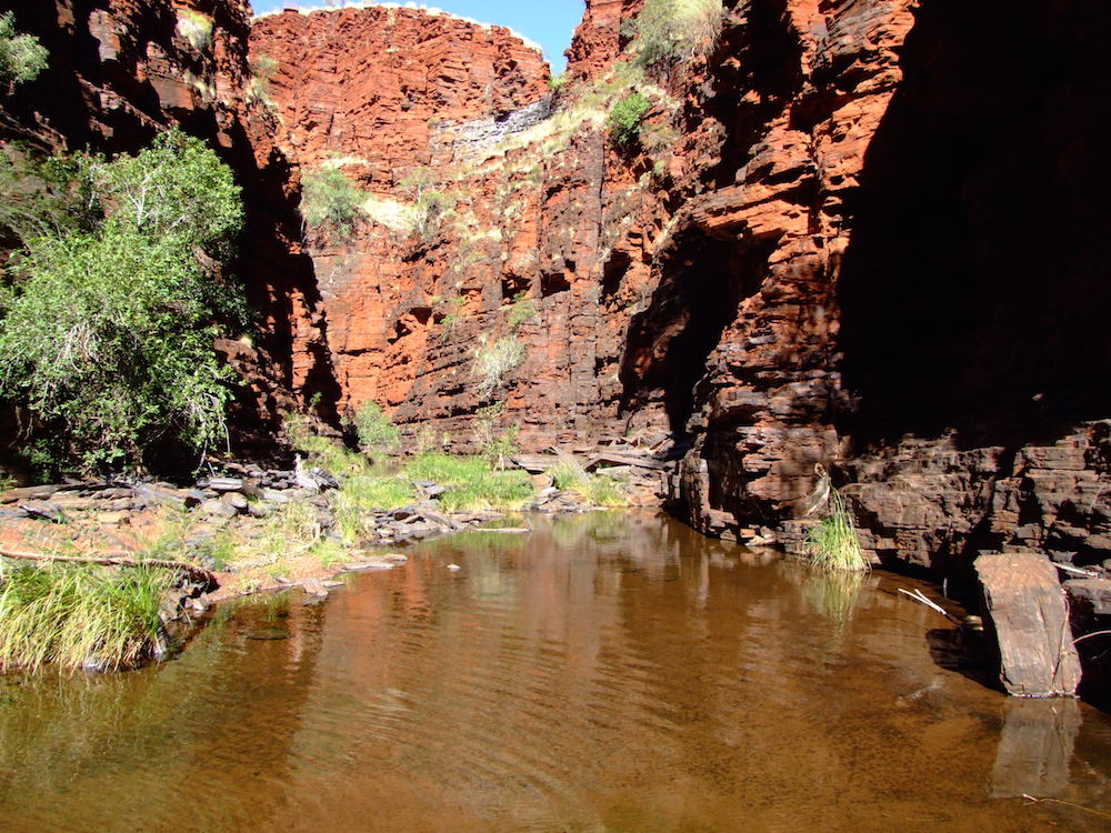
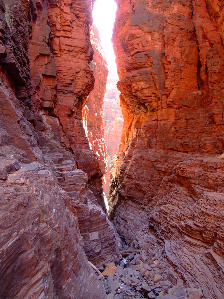
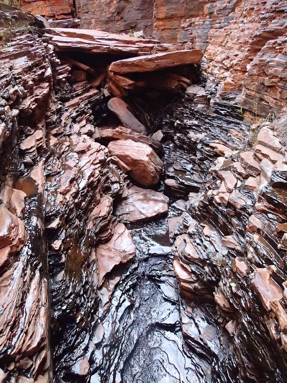
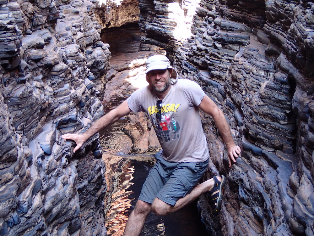
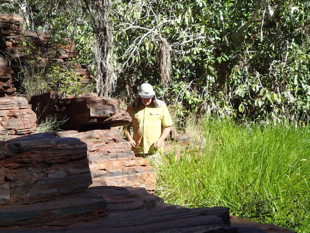
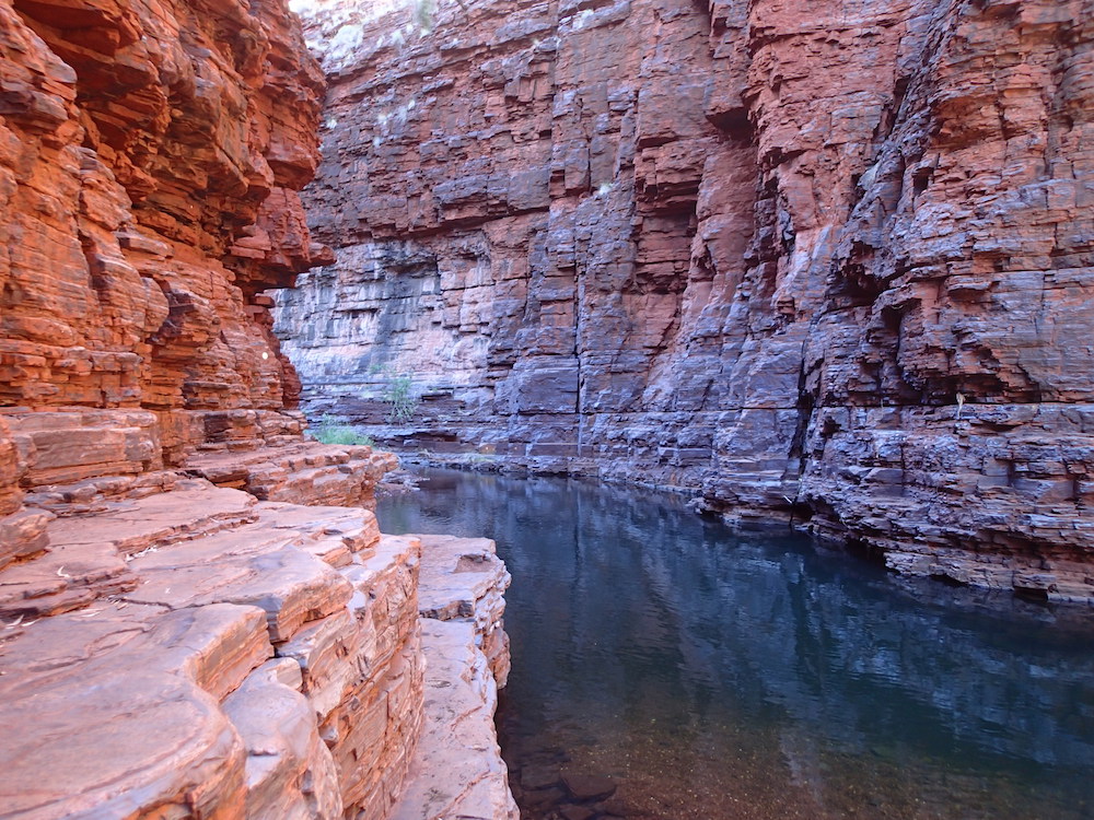
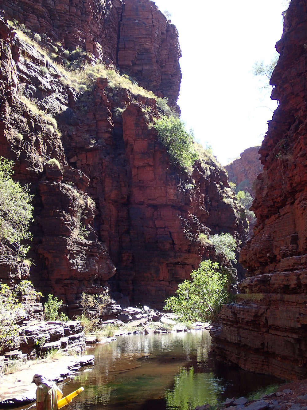
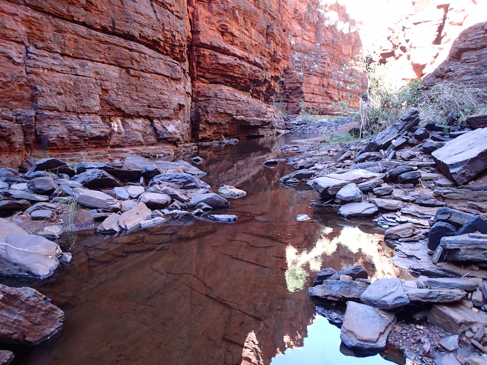
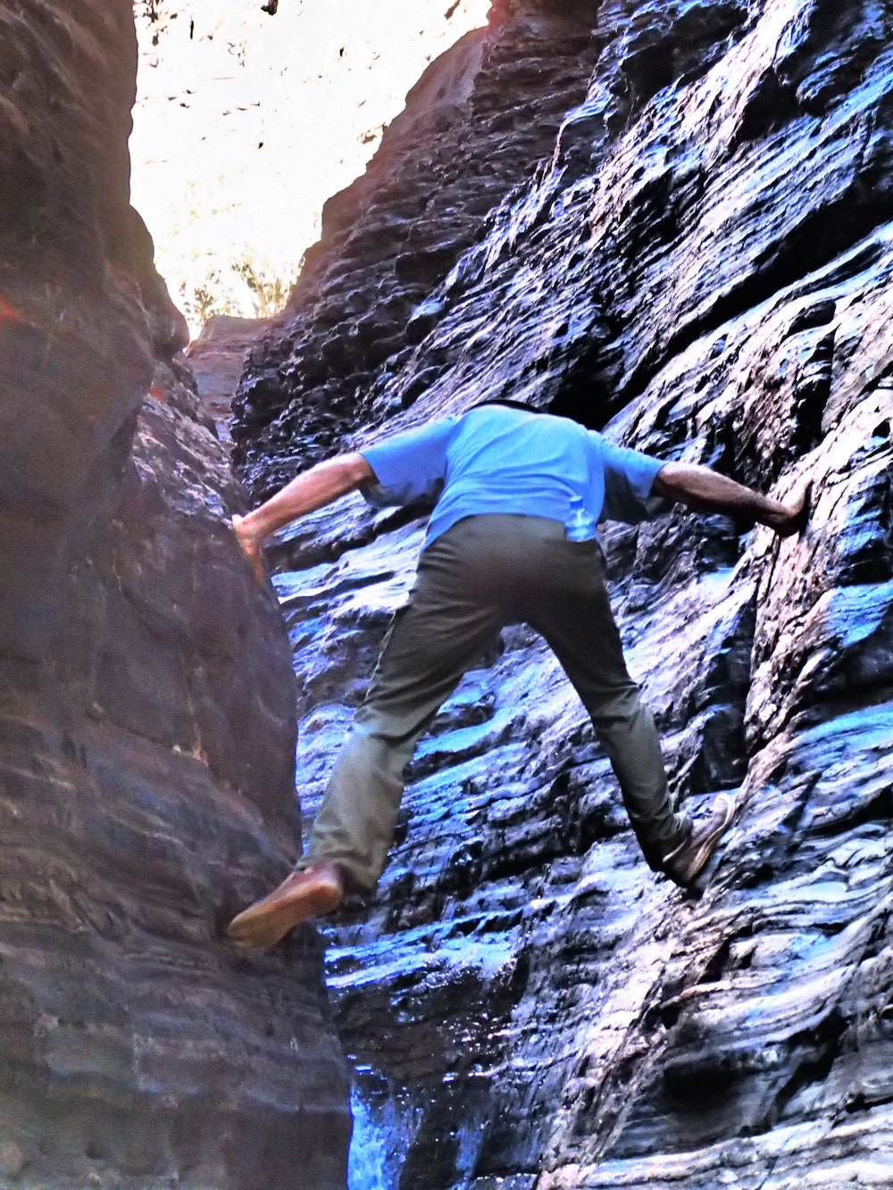
Weano and Hancock Gorges
Our second day in Karijini was spent exploring the spectacular Weano and Hancock gorges.
-
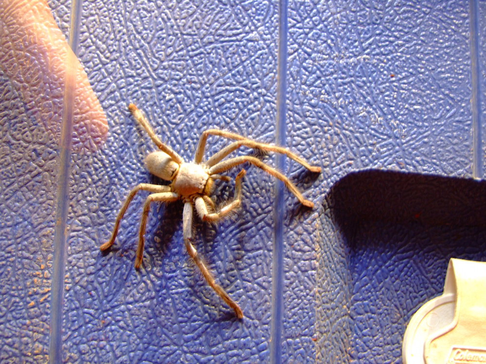
- Local resident.
-
- Another local.
-
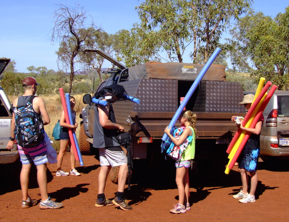
- Preparing for swimming the gorges.
-
- Weano Gorge.
-

- Weano Gorge.
-
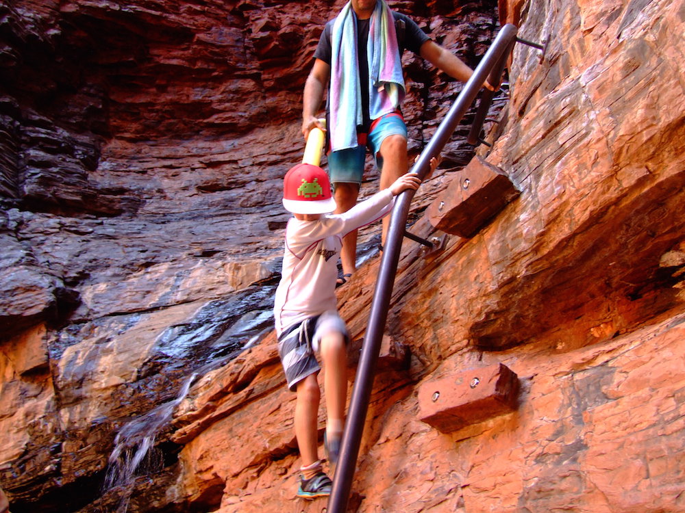
- Sean descending ladder into Handrail Pool.
-
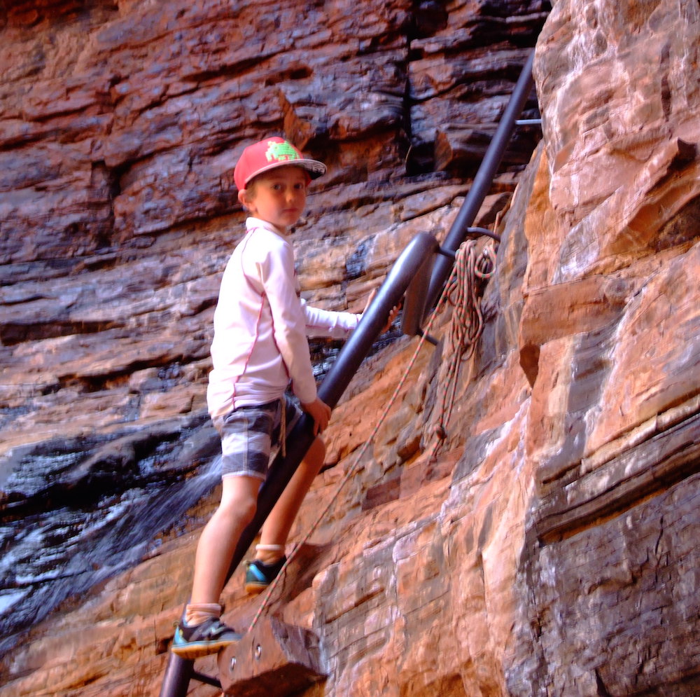
- Sean descending ladder into Handrail Pool.
-
- In Weano Gorge.
-
- In Weano Gorge.
-
- In Weano Gorge.
-
- Karla, Shaina, Matt, Tania and Sean.
-

- Handrail Pool.
-
- Hardy tree.

-
- Rest stop.
-

- Weano Gorge.
-

- In Weano Gorge.
-

- Wading through Weano Gorge.
-

- In Weano Gorge.
-

- Weano Gorge.
-

- Weano Gorge.
-

- Our camp at Dales Gorge Campground.
-

- View from camp.
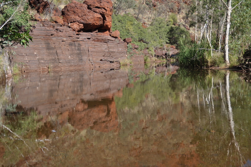
Knox and Joffre Gorges
We spent our third day in Karijini exploring Knox Gorge and Joffre Gorge.


-

- Corey and Matt.
-
- Knox Gorge Waterfall.
-
- Ohad.


-
- Kim in Joffre Gorge.


-
- Greg ascending.
-
- Ehud.
-

- Ohad.
-

- Ohad.
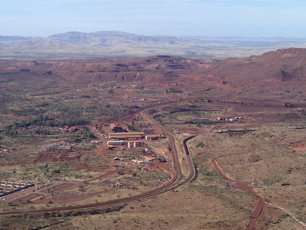
Tom Price
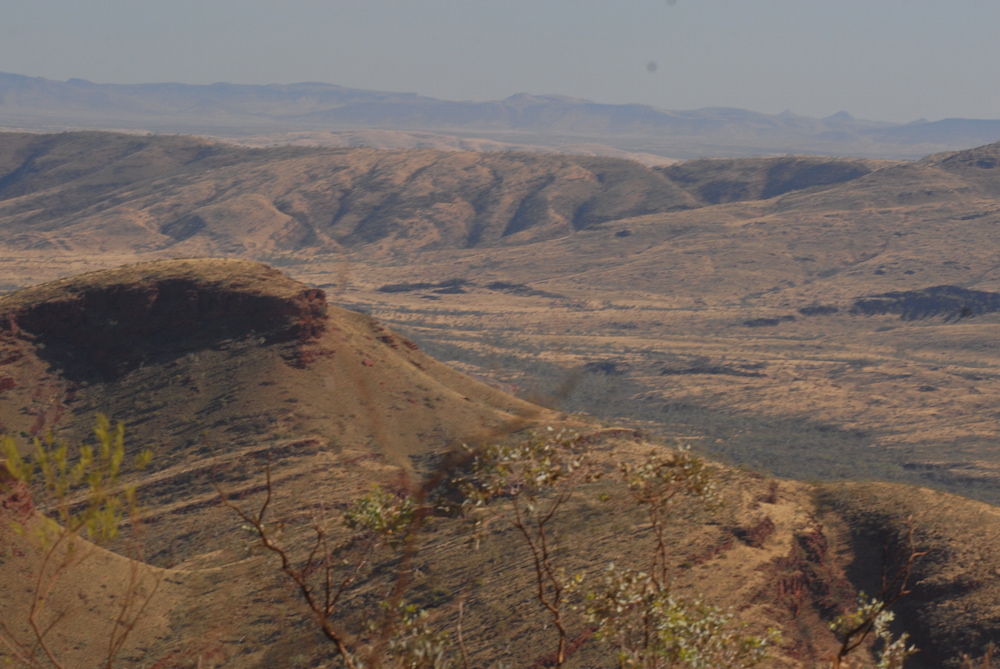
We left the park mid afternoon, heading for Tom Price to re-stock, re-fuel and stay the night. Tom Price is WA’s highest town.
Before departure for Mount Augustus we drove to the top of Mount Nameless. It is the highest one can comfortably drive a vehicle in Western Australia (the track to the top of the higher Mount Meharry is suitable only for very well-setup 4WD vehicles) provides great views of the surrounding terrain and the Tom Price iron ore operations.
Mount Nameless
-
- Mount Bruce.
-

- Mount Bruce.

-
- Driving up Mt Nameless.
-

- Karla on Mt Nameless.


-

- Shaina on Mt Nameless.
To Mount Augustus
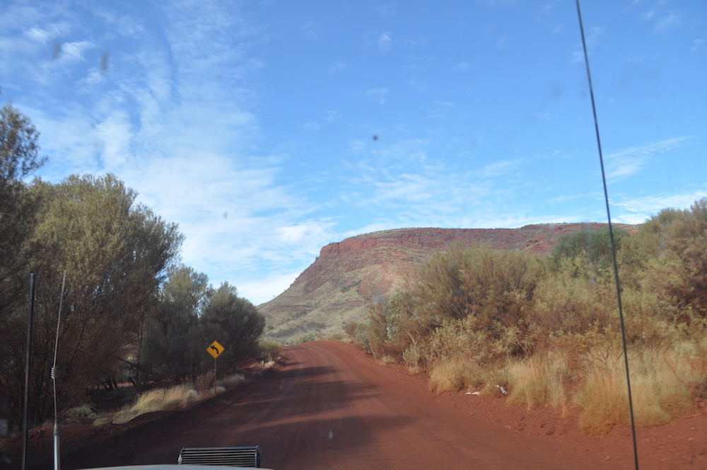
We left Tom Price and headed out to the Nanutarra Road, intending to turn south on the Ashburton Downs Road, go east around the Baring Range, through Dooley Downs and come into Mt Augustus from the north.
-
- Taking a break – Ohad, Sean, Matt and Aaron.
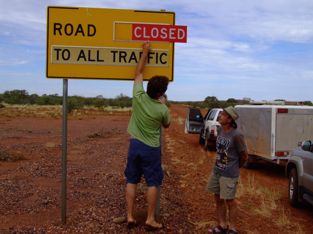
However, the Ashburton Downs Road was closed, as was the next attempt to head south through Wyloo.
-
- Ehud and Greg at the Ashburton Downs Road.
We continued to Nanutarra on the North West Coastal Highway and headed south west, turning off the highway at Towera Road. What a magnificent, comfortable, high speed dirt road this is!
-

- Matt’s F250 on the Towera road.
Lyndon River
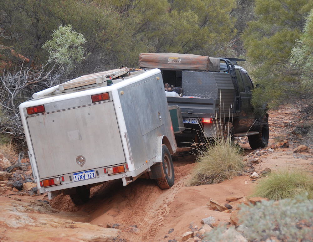
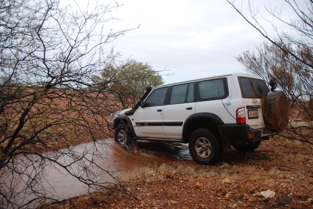
Past Lyndon Station we turned off the Lyndon Minnie Creek Road to find a campsite across the Lyndon River. After extricating the Patrol and the Silver Bullet from the hungry river sands we found a pleasant campsite just before dusk.
-
- Crossing the Lyndon River.
-

- Extracting the Patrol and Silver Bullet.
-
- F250 tows the Patrol and trailer out of the river sand.
-
- Evening shower.
-

- At the Lyndon River.
-

- Not quite rubbing two sticks together.
-
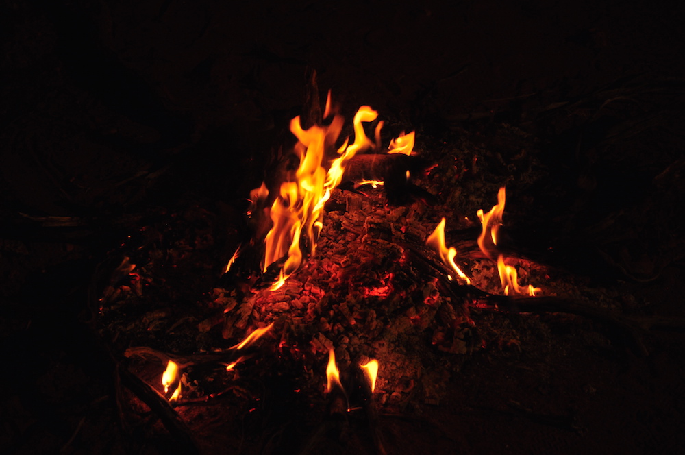
- Campfire at Lyndon River.
-
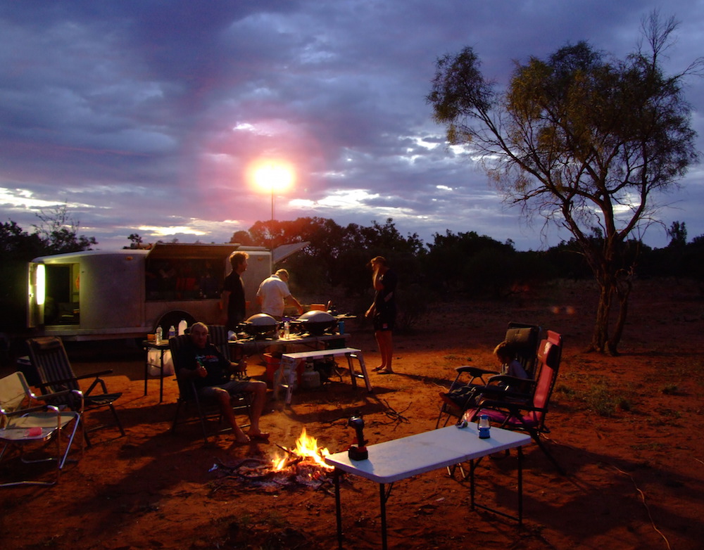
- Lyndon River Camp.
To Mount Sandiman Sation
From our overnight camp we worked our way south through Mangaroon towards Mount Sandiman Station.
-
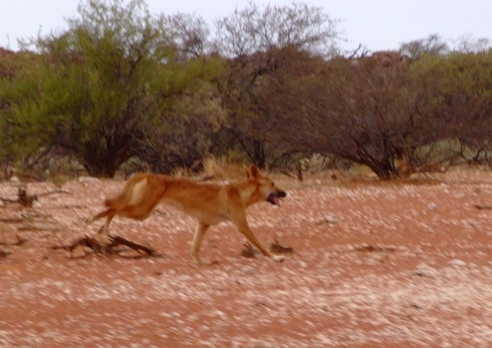
- Dingo near Mangaroon.
-

- Wedgetail eagle taking off.
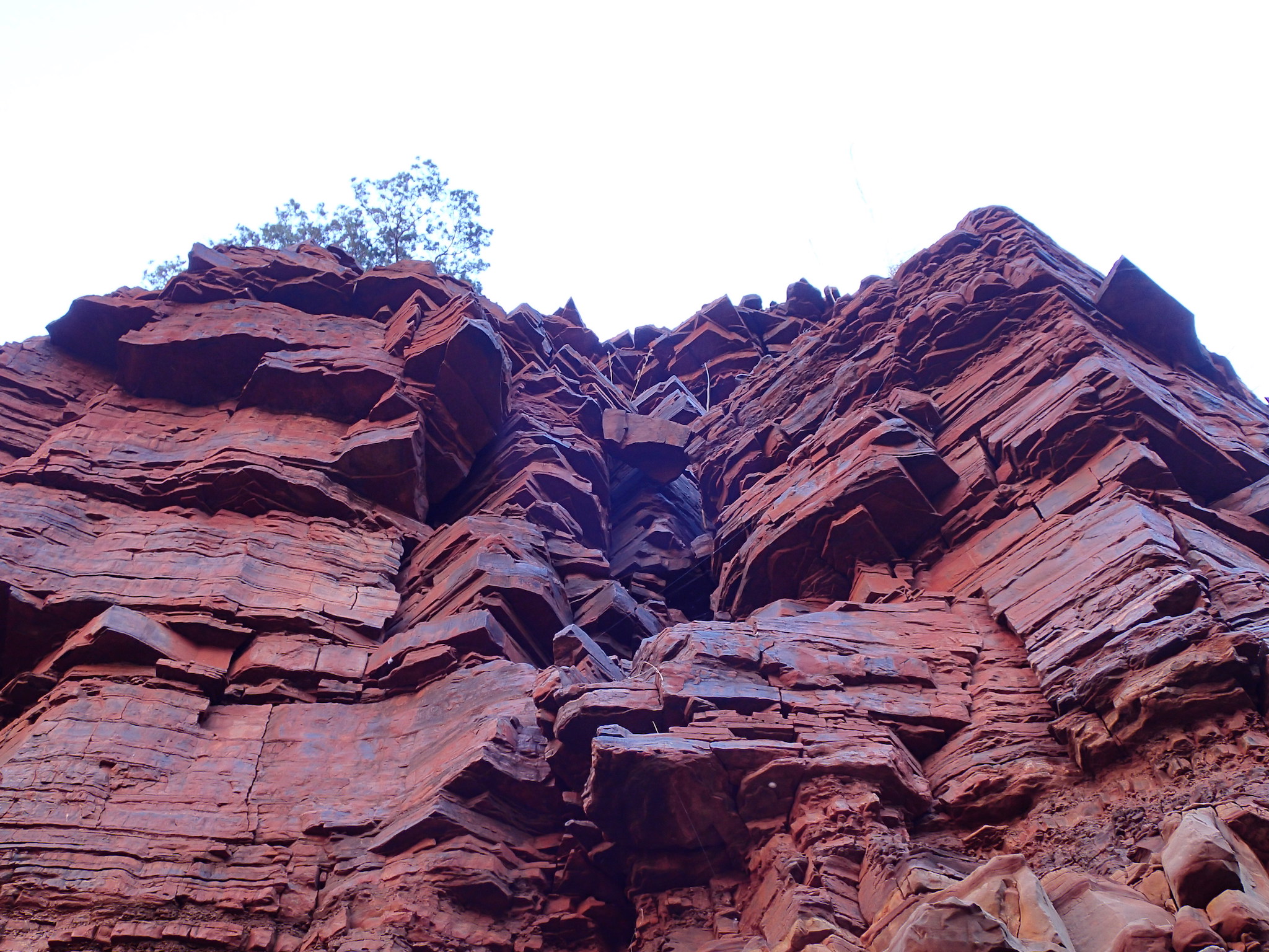
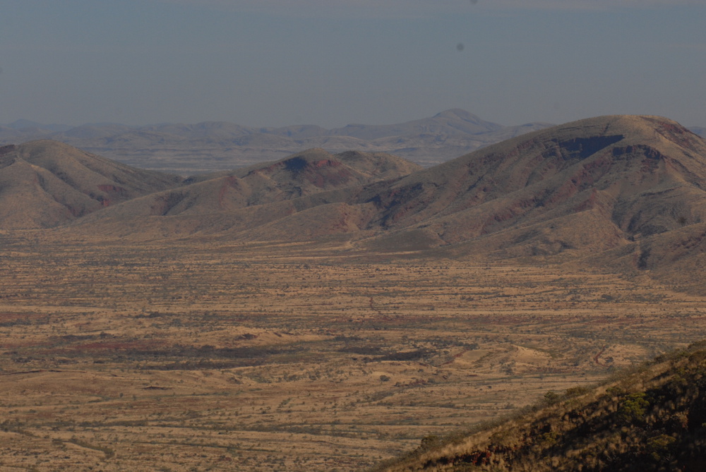
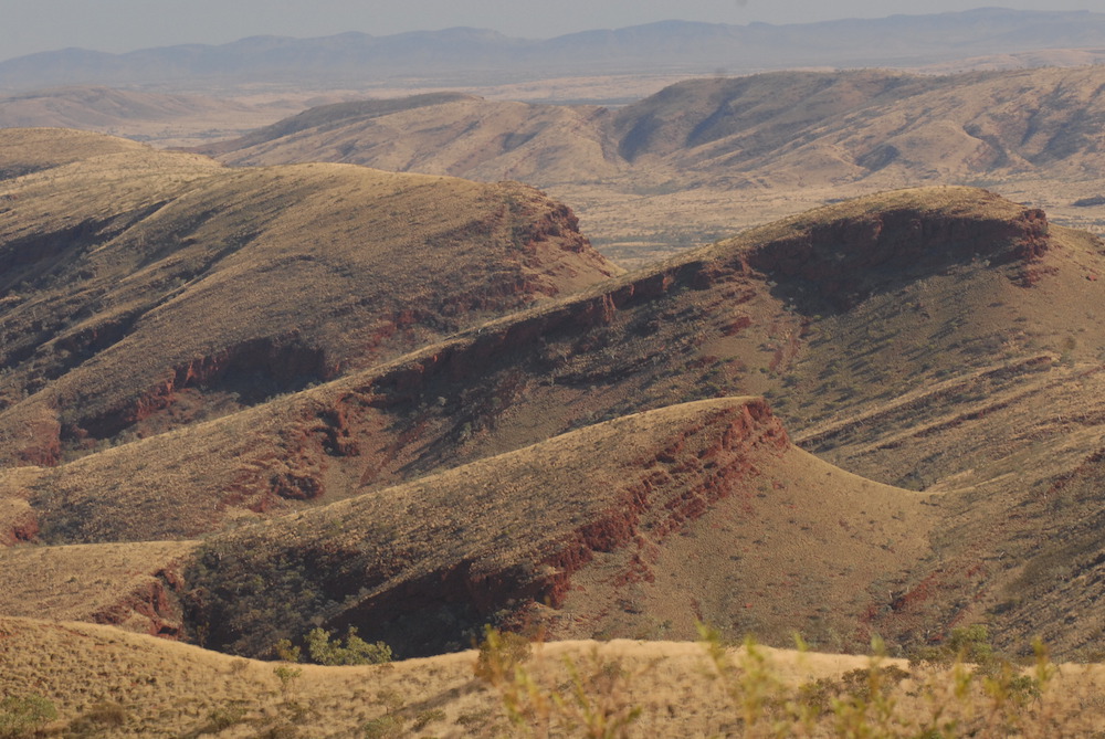
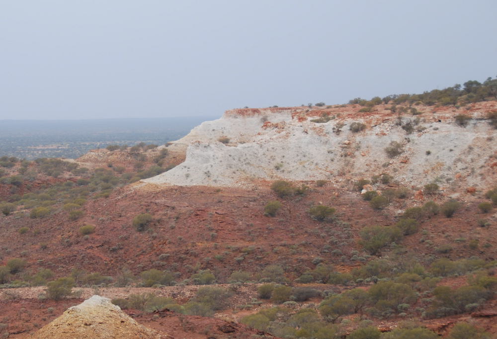
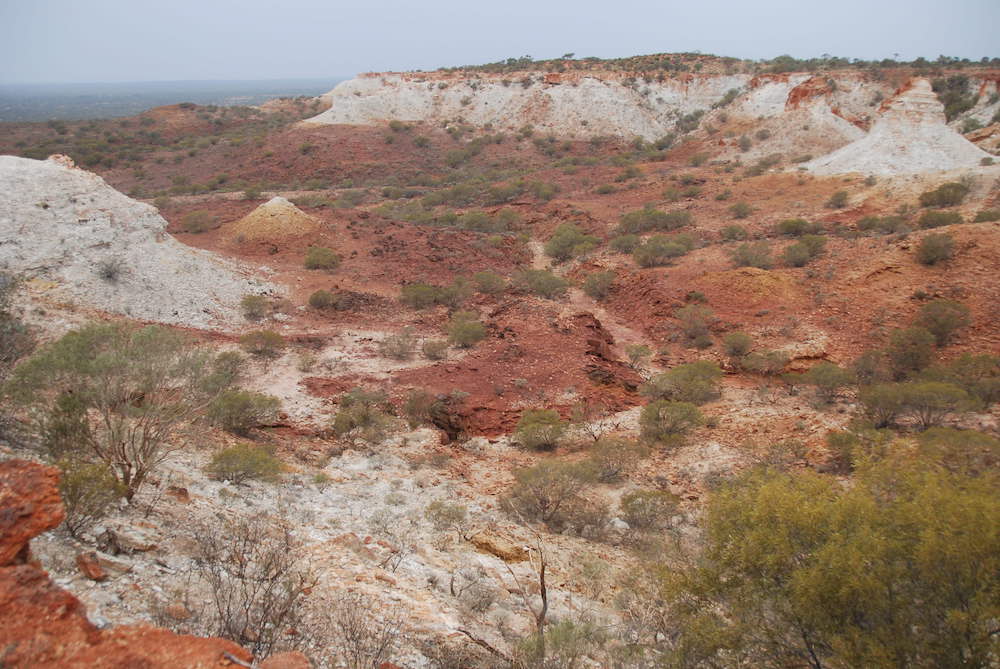
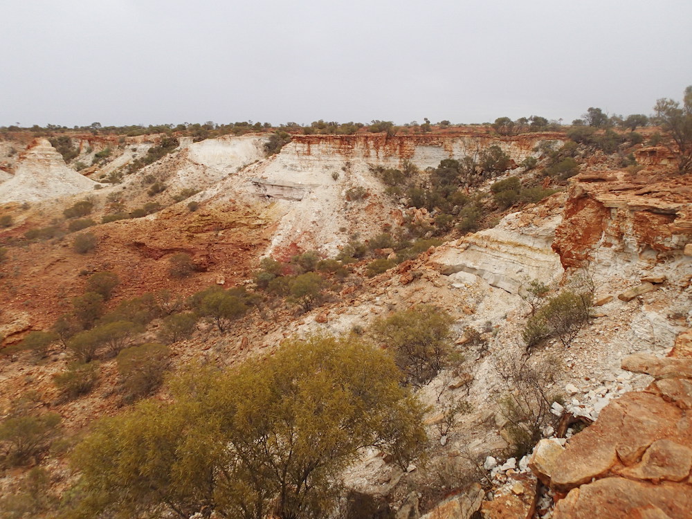
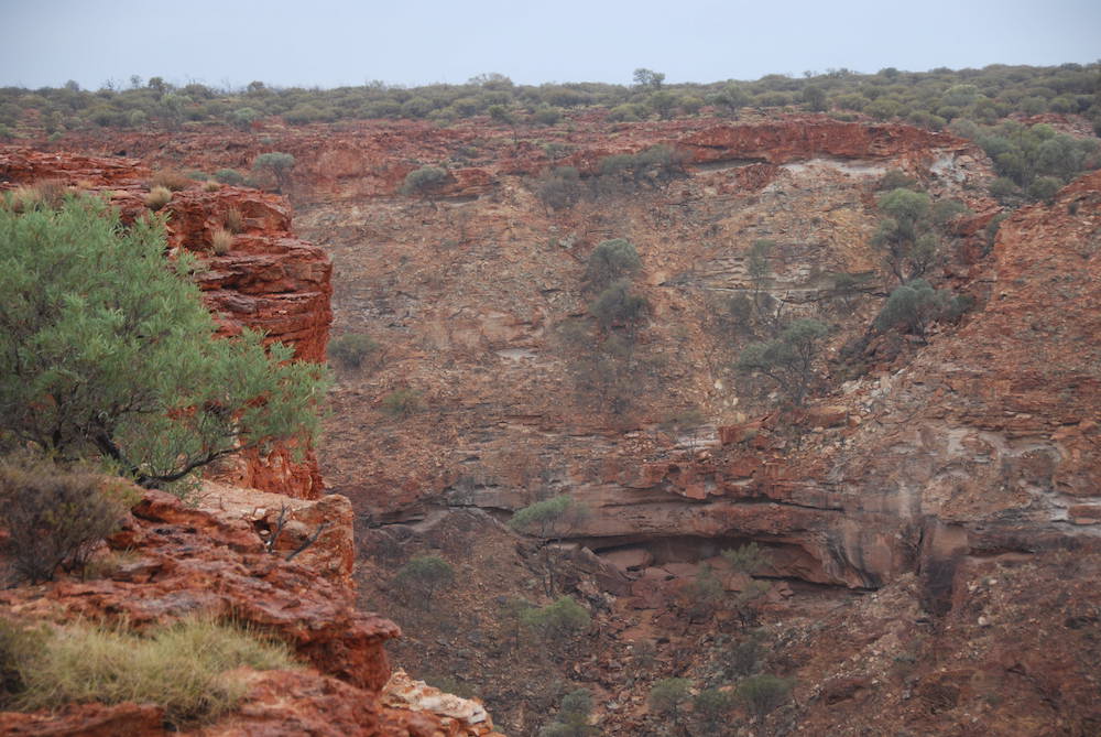
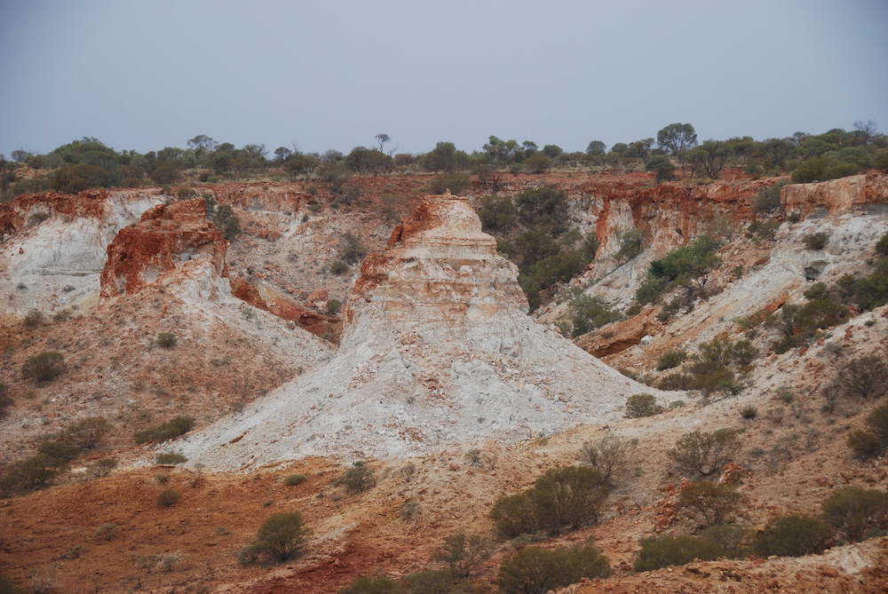
The spectacular sandstone battlements of the Kennedy Range are in fact a huge mesa, pushed up from an ancient sea bed.
The plan was to ‘ascend the battlement’ west of Mount Sandiman Homestead and then travel south along the edge of the escarpment before crossing the Range and dropping down to the west side. Then to Mooka Station, cross the Gascoyne River and head east into Gascoyne Junction.
-

- Tania in frame.
-
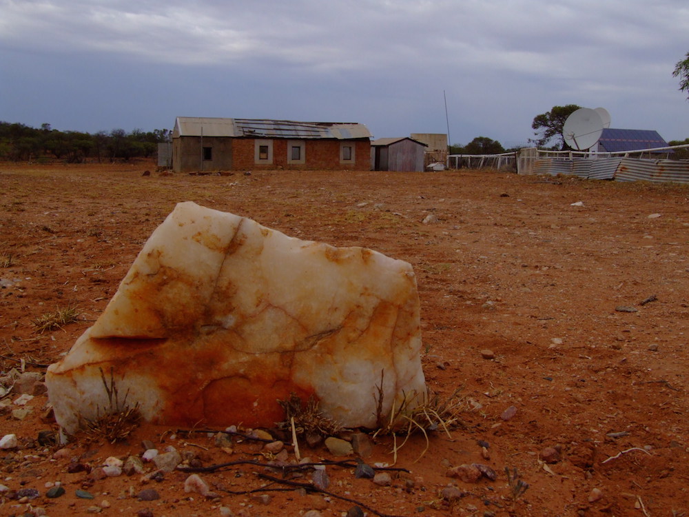
- Derelict homestead.
-
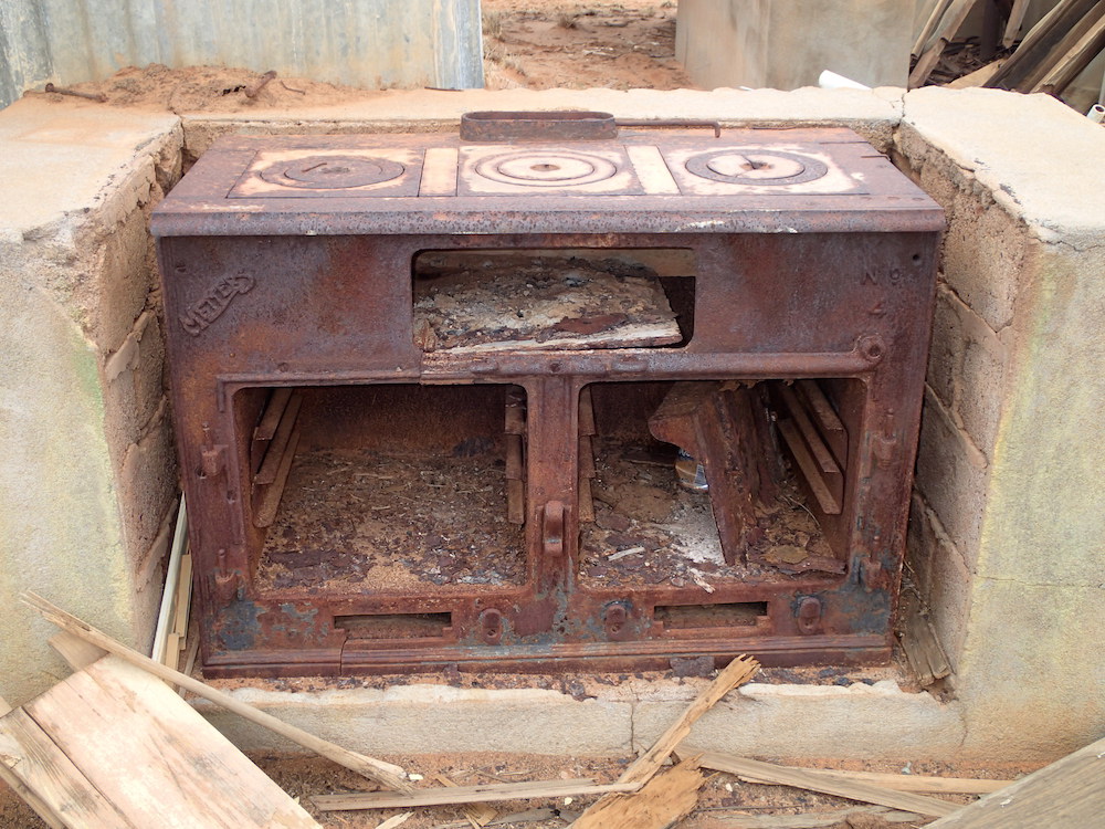
- A wood stove that’s seen better days.
-
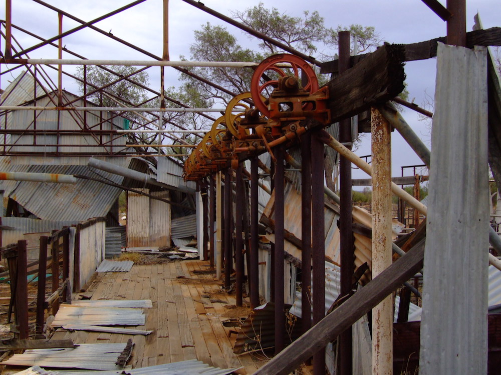
- The remains of an eight stand shearing shed.
-
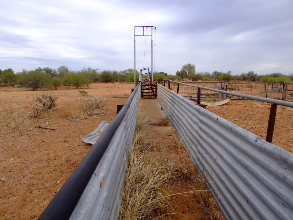
- Sheep race.
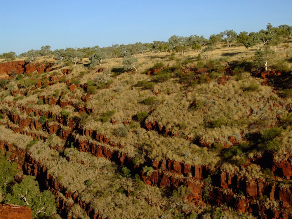
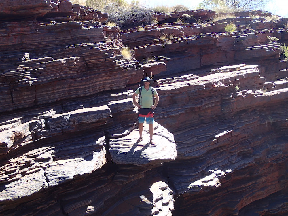
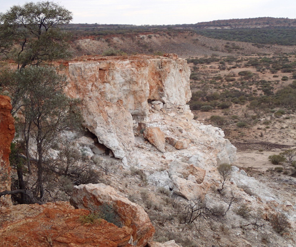
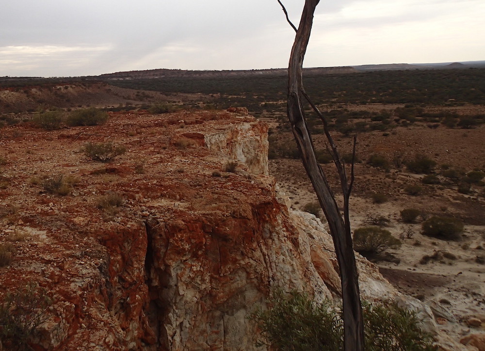
The Kennedy Range
The climb up to the top of the Kennedy Range was no real challenge, even with a trailer. The track is clearly delineated and no test of navigation. The scenery at the edge of the mesa is spectacular.
-
- Track from homestead.
-

- Kim, Matt, Greg, Ehud, and Aaron.
-
- Climbing to to the top of the mesa from the east.
-
- Like a giant breakaway.
-
- Contrasting colours.
-

- Vertical escarpment.
-
- Pair of Nissans.
-

- Spectacular re-entrants.
-

- Outlier.
-
- Matt and Tania.
-
- Edge of the mesa.
-
- Edge of the Range.
-

- The precipice on the eastern side of the range.
-
- Eastern side of the Kennedys.
-
- High cliff.
-
- Good articulation.
-
- The effects of erosion.
-
- Challenging.
-
- Plenty of gutters and washaways like this.
-
- Lineup.
-
- Descending on the west side
On Mooka Station
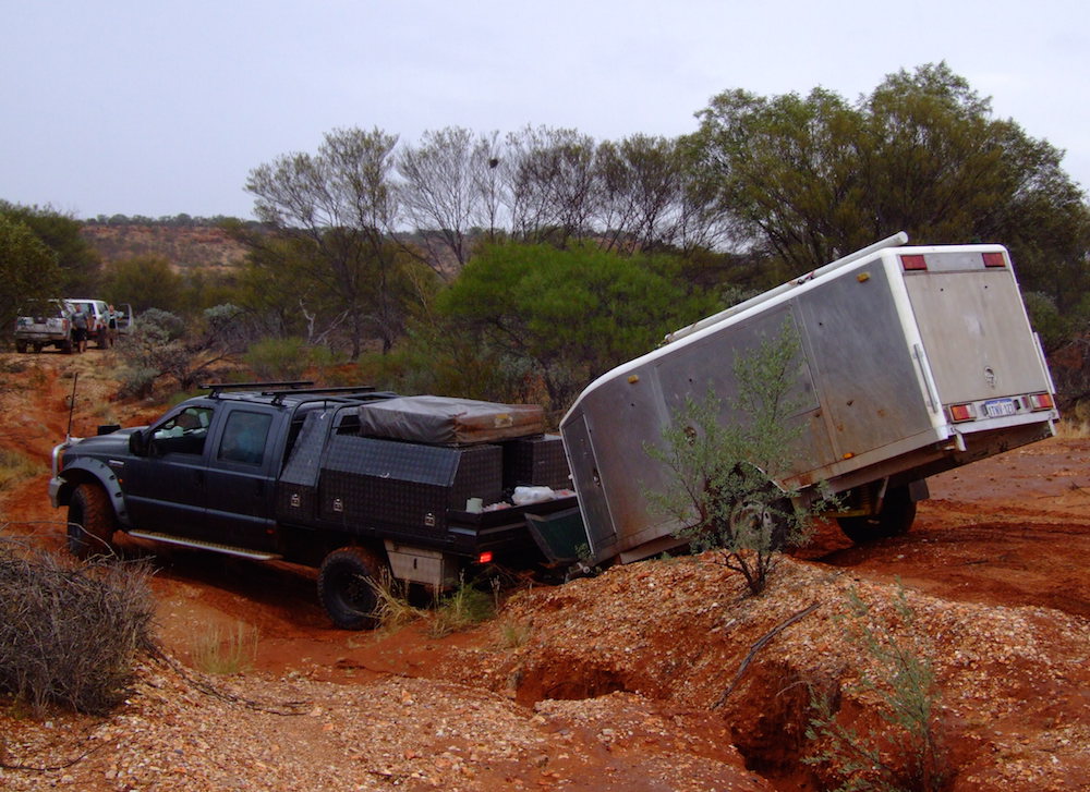
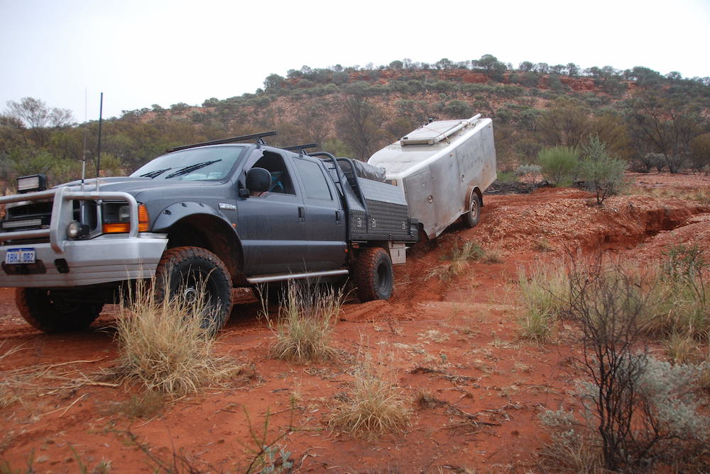
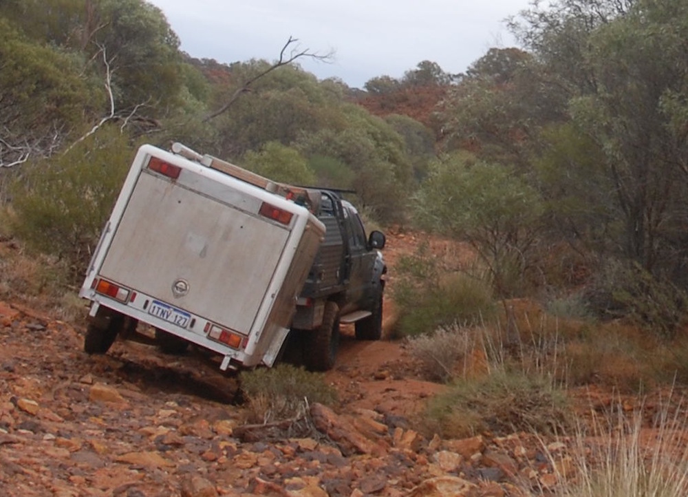
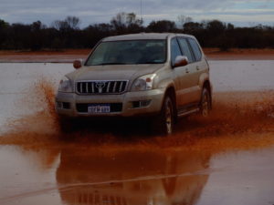
All was going well until the rain arrived. At first it was just annoying but as we descended the plateau and progressed closer to Mooka Station the creeks were rising and the gullies were gushing. Water spread everywhere.
-

- The first sign that we may have a problem.
-
- In the time it took to get back to the vehicle from the previous photo the water had risen.
-
- Lots of these.
-
- F250 ploughing through.
-

- The slop was no match for the F250’s power.
-
- Towing the Silver Bullet through mud was easier with the F250.
Dash to the West
It was clearly time to get out. At Binthalya we made a dash to the westward.
-

- Kim and Patrol at old Binthalya homestead.
-

- Silver Bullet.
-

- Storm clouds.
-
- Kim’s Patrol on a flooded playa.
-
- Greg on a playa.
-
- Fun with the Prado on the claypan.
As dusk was approaching we found a cleared area where a grader had made a turnaround and made ourselves a comfortable camp. By late afternoon the rain had ceased and after a campfire conference we decided to return to Mooka the next day, head south, cross the Gascoyne River and then turn east to Gascoyne Junction.
-
- Aaron’s Navara.
-
- Fortunate to find a clearing big enough late in the day.
-
- Our fire was close to the track.
-
- End of day that could have been disastrous.
We could then continue down the Carnarvon-Mullewa Road past Murchision, turn into Yallalong and exit the station country on the North West Coastal Highway at Riverside Farms.
Consistent rain from 2.00 a.m. put paid to that plan.
Heading West
We drove into Carnarvon.
-
- Heading off in the morning.
-
- West to North West Coastal Highway.
-

- Turning onto North West Coastal Highway.
After we arrived at the North West Coastal Highway it was a quick run into Carnarvon where we caught up with friends and refuelled before heading south again.
-
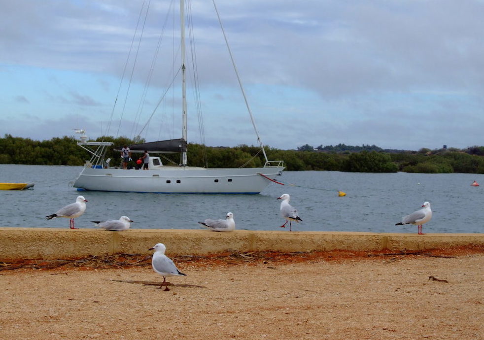
- Carnarvon Harbour.
-

- The Fascine.
Galena Bridge
-
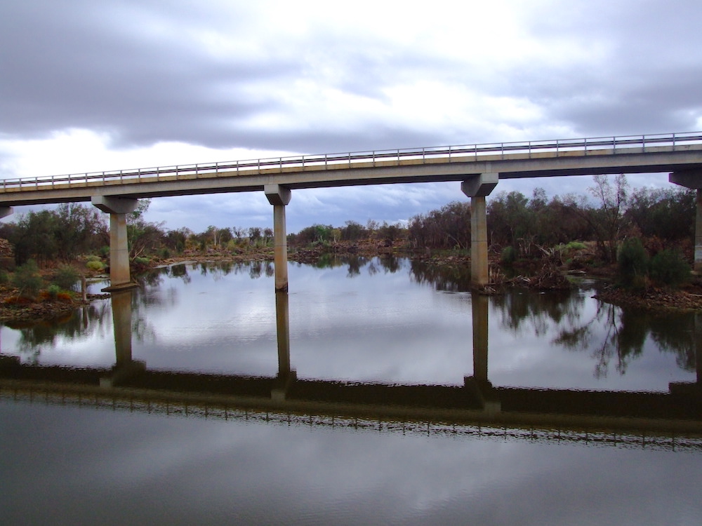
- Galena Bridge looking downriver.
-
- North West Coastal Highway
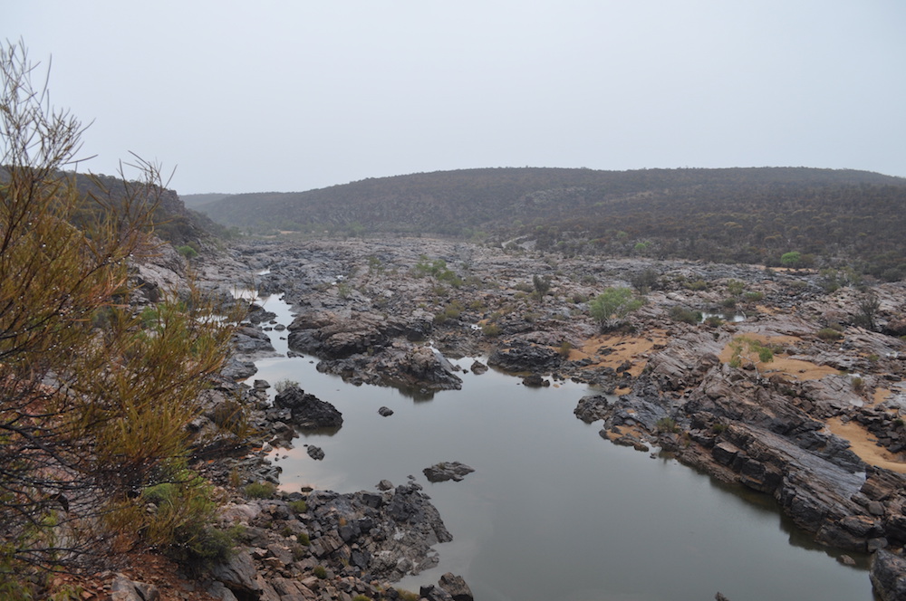
Hardabut Rapids
After turning off the North West Coastal Highway at Ajana, I found the track into Hardabut Rapid and we drove down narrow tracks to one of the biggest rapids in Western Australia.
-

- The track into Hardabut Rapid
It is just upriver from the Kalbarri National Park. This was the scene of near disaster during our No Wimps Allowed expedition in 1995. Overall, our group has done nine expeditions on the river including going upriver from the mouth, downriver from Galena Bridge, downriver from 550 kilometres inland, downriver from Coolcalalaya, and finding the source.
-

- Hardabut Rapid.
-

- Not so scary when dry.
-
- Looking downriver from the end of the access track.
Hawks Head
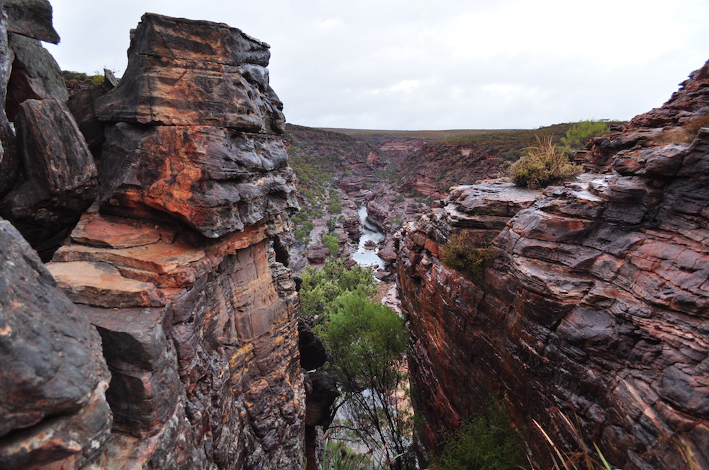
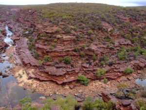
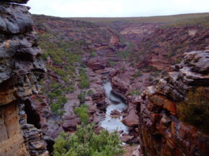
The spectacular Murchison Gorges are only a few kilometres upriver from the rivermouth town of Kalbarri.
-
- Looking downriver from Hawks Head.
-
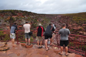
- Ross Graham Lookout.
-

- Murchison River.
-
- Murchison River country.
-
- On the inside of a bend in the river at Ross Graham Lookout.
-

- Gorge.
-
- River gorge.
-

- Stratas.
-

- Upriver from Ross Graham Lookout.
Consistent rain started after we turned into the Z Bend/The Loop and by the time we got in Kalbarri after dark it was heavy.
After what portended to be a wet and miserable camp we got the shelters erected, cooked dinner and had a pleasant last night, only our second without a campfire.
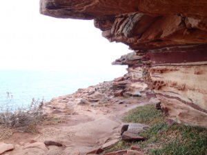
Next morning we checked out the coastal gorges immediately south of Kalbarri before heading to Sandford House near Port Gregory and then onto Northampton and Geraldton.
-

- At Pot Alley Gorge looking south.
-

- Matt, Greg, Ehud, Ohad and Tania at Red Bluff.
-

- Coast south of Grandstand Rock.
-
- At Eagle Gorge.
-

- At Pot Alley Gorge.
-

- Natural Bridge at Castle Cove.
-

- Coast south of Kalbarri.
-

- Corey on top of rock.
George Grey Drive from Kalbarri leads to Port Gregory and the ruins of the Lynton Convict Hiring Deport, with Sandford House close by.
-

- Partially restored Sandford House.
-

- Mill
-

- In the museum
-

- Ohad the bullfighter.
-

- Windswept tree at Greenough.
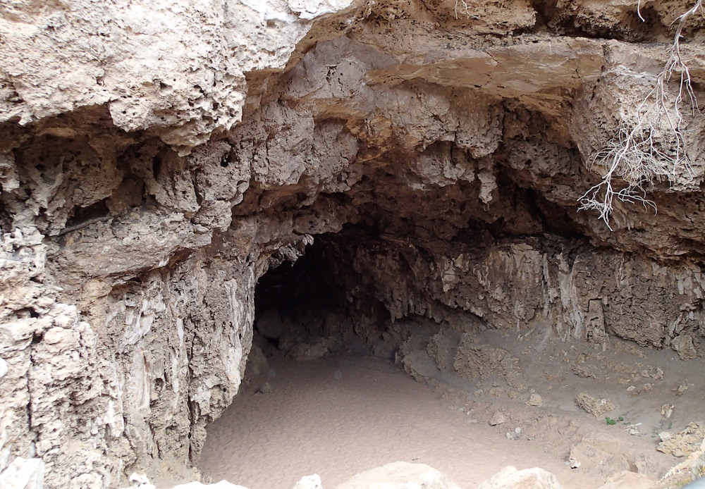
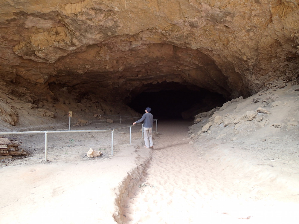
STOCKYARD GULLY
The drive into Stockyard Gully was rough and slow.
The 300 metre long Stockyard Gully Cave was created by an underground river system.
-
- The cave is easily accessible.
-
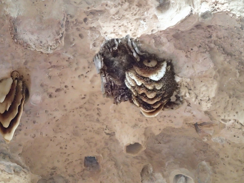
- Wild bees nesting.
-
- Greg at entrance to cave.
-

- Greg, Sean, Ehud and Matt inside the cave.
-

- Inside the cave.
-

- Near the exit.
-
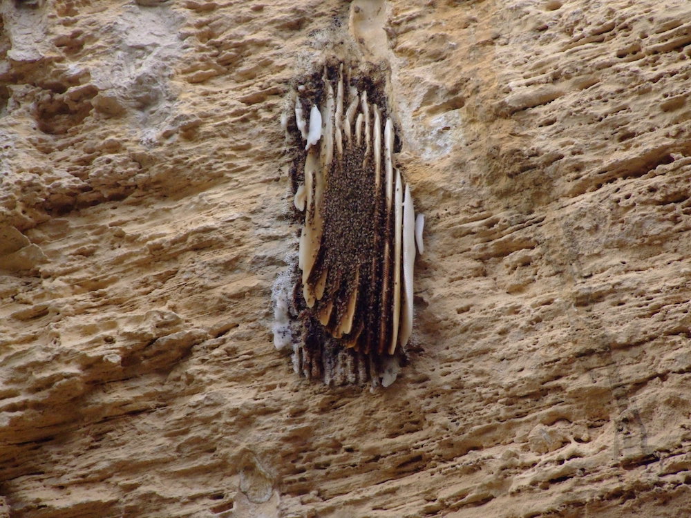
- More bees.
-

- The exit.
From Stockyard Gully it was a short run back to Perth.
EXTRA FEATURE
Individual photos are not credited. The main photographers were Ohad, Aaron and Matt with some being taken by Kim and Greg.
© Kim Epton 2014-2024
3206 words, 205 photographs.
Feel free to use any part of this document but please do the right thing and give attribution to adventures.net.au. It will enhance the SEO of your website/blog and Adventures.
See Terms of Use.