Shoemaker Crater is about 100 kilometres north-east of Wiluna.
This impact crater was formed some time between 500mya and 1.6bya, depending on which source you believe. At that time there were no plants, no animals and no fungi – only stromatolites. A very different planet from today. A 2600 metres wide asteroid hit outback Western Australia at a speed of 65,000 kilometres per hour, creating a 30 kilometres wide impact that was identified as an impact crater in 1974.
-

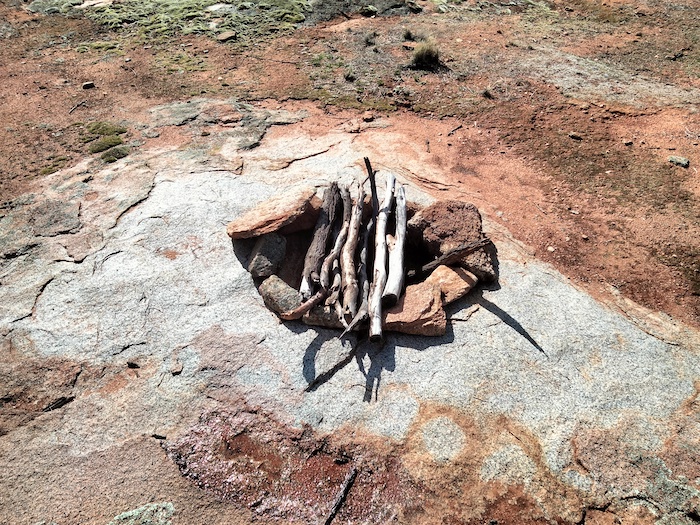
- At the centre of Shoemaker Crater.
It is estimated that the resulting explosion was the equivalent of 784 megatons (about 15 x larger than Tsar Bomba – the largest nuclear bomb ever detonated) and generated an 8.5 magnitude earthquake. The heat and thermal radiation would have destroyed any lifeforms for a 500 kilometre radius.
The crater was named after Eugene Shoemaker (1928-1997) a renowned US planetary geologist who was killed in a vehicle crash on the Tanami Track in the Northern Territory. His ashes were on the Lunar Prospector when it was deliberately crashed into Mawson Crater near the South Pole of the moon in July 1999. The International Astronomical Union then renamed the crater as Shoemaker Crater.
-

- Eugene Shoemaker
© Kim Epton 2022-2024
219 words, one photograph.
Feel free to use any part of this document but please do the right thing and give attribution to adventures.net.au. It will enhance the SEO of your website/blog and Adventures.
See Terms of Use.