
Route 12 from Tak to Mae Sot is an exhilarating drive through the Tenasserim Hills. This road is the ‘Gateway to South Asia’ – or the more bureaucratic ‘East West Economic Corridor‘. Basically, it is a 793 kilometre route through Thailand that links Laos at Suvakhannet/Mukdahan (2nd Thai Laos Friendship Bridge) to Myanmar at Myawaddy/Mae Sot (1st Thai Myanmar Friendship Bridge). The ‘Corridor’ was completed in 2023.
-

- TAK TO MAE SOT ON ROUTE 12
Doi Muser Markets
The popular Doi Muser (Musoe) Markets at the top of the mountains are a welcome break along the 60 kilometre journey, offering a short respite from the more than 200 bends in the journey, some of which are extremely tight.
-

- Clean and well-presented Doi Muser Markets.
-

- Doi Muser Hill Tribe Market.
-

- Adjusting the display.
-

- Good quality avocados at a good price.
-

- Although open there were surprisingly few flies.
Mae Sot – Thailand/Myanmar Border Town
Mae Sot, 31 kilometres to the west, is an important border town. It is Thailand’s ‘Gateway to South Asia’.
-

- While for most of its length the Moei River forms the Thailand western border, the actual westernmost point is 123 kilometre further west and 210 kilometres further north on the Myanmar border.
-
- 1st Thailand Myanmar Friendship Bridge.
-
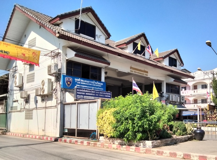
- Mae Sot Boundary Post
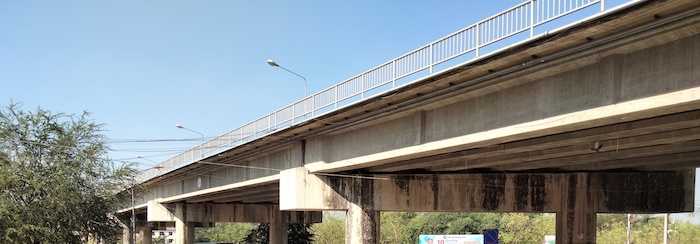
A few kilometres north of Maae Sot is the turnoff to the 2nd Thai-Myanmar Friendship Bridge. This bridge is only four kilometres north-west of the First Thai-Myanmar Friendship Bridge. It was built to relieve congestion on the 1st Friendship Bridge. So even though the East West Economic Corridor was finished only in 2023 the increase in economic activity (congestion on the 1st Bridge) was seen well before 2015 (when work on the 2nd Bridge commenced). The need for the construction of bridge No.2 is the definition of success.
-

- The 2nd Friendship Bridge is off Route 105 just north of Mae Sot.
Route 105
-

- ROUTE 105 – MAE SOT TO MAE SARIANG
We drove north out of Mae Sot on Route 105 – one of the great drives of Thailand. This Route – and the great driving – extends to Mae Hong Son as Route 108 after Mae Sariang, the major town midway.
-

- Route 105 is one of the great drives of Thailand.
Baan Mae La Refugee Camp
Baan Mae La Refugee Camp is 57 kilometres north of Mae Sot and eight kilometres east of the Thai/Myanmar border.
Between Mae Sot and Mae Hong Son we passed 13 Police/Immigration Checkpoints. At some of these checkpoints people were openly taking tracks through the forest around the checkpoint. Random travellers (us) being easily aware of this evasion of scrutiny is a poor reflection on the efficacy, oversight and leadership of the relevant authorities.
The region traversed by Route 105 is populated by Hill Tribes. For much of its length, the Moei River forms the border between Thailand and Myanmar. Route 105 broadly follows the Moei from Mae Sot to Baan Tha Song Yang at which point it is routed further east until it finds its way to the course of Yuam River.
-

- The Moei River forms the border between Thailand and Myanmar for much of its length.
In the 230 kilometres of Route 105 between Mae Sot and Mae Sariang there are 947 bends.
At the time of our journey there was not much tourist traffic – in fact not much traffic, at all. The very poor living conditions and older vehicles here are clearly noticeable. However, lots of big touring motorcycles, many with ‘farang’ riders, were in evidence – confirming Route 105’s international status as a great ride, an iconic route, and well worth the effort to be able to say BTDT.
Five hours from Mae Sot we pulled into our overnight homestay along the Yuam River. Mae Sariang is a surprisingly large, important regional centre.
Our day’s drive covered 332 kilometres through two Provinces (Tak, Mae Hong Son).
Go to Mae Sariang to Pai
Go back to Hat Kruat to Tak
© Kim Epton 2024
672 words, 11 photographs, two images.
Feel free to use any part of this document but please do the right thing and give attribution to adventures.net.au. It will enhance the SEO of your website/blog and Adventures.
See Terms of Use.