
A day trip up Cleghorn Crest track to Cleghorn Pass in the San Bernadino National Forest and then through the San Gabriel Mountains along Angeles Crest.
I took CA138 past Silverwood Lake to the start of Cleghorn Crest.
-

- Lake Silverwood
Cleghorn Crest track is an easy climb.
-
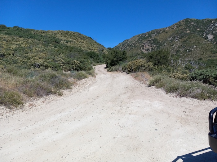
- On 2N49.
-

- Near Cleghorn Pass looking back down at Lake Silverwood.
-

- Halfway up Cleghorn Crest 2N49.
-

- Approaching Cleghorn Pass.
-

- Ascending 2N49.
-

- Along 2N49.
At Cleghorn Pass the track turns south down the Bailey Canyon track. There was no time to finish this track (unknown condition/difficulty) if I was to make the trip along Angeles Crest so I headed for the Rim of the World Highway, crossed the I15, stayed on the CA138, and then turned on to Angeles Crest.
-

- At Cleghorn Pass.
Most of the drive along Angeles Crest is around the 2000 metres elevation. Sections of the road are regularly closed in winter.
-
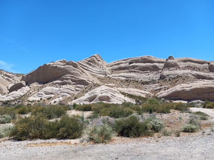
- Mormon Rocks named for Mormon settlers travelling from Utah to San Bernadino in 1851.
-

- Near Dawson Saddle.
-

- Near Dawson Saddle.
-

- Edison Road
The western end of Angeles Crest drops you into La Canada Flintridge (home of NASA’s Jet Propulsion Laboratory) from where I took the 210 Freeway through Pasedena, Monrovia and San Bernadino back to CA18 and up the mountain to Lake Arrowhead.
The Freeway run was long enough to reset the recently-changed oxygen sensor.
© Kim Epton 2022
248 words, 12 photographs.
Feel free to use any part of this document but please do the right thing and give attribution. It will enhance the SEO of your website/blog and Adventures.
See Terms of Use.